Browse categories
Log in
Sign up
Marmara Sea Free Stock Images
Related searches:
sea beach woman
Safe search
Include:
RF-LL
Public Domain
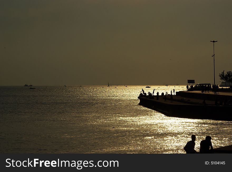
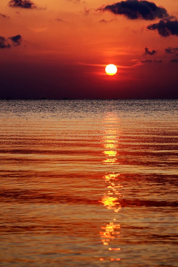
Sunset In Shore
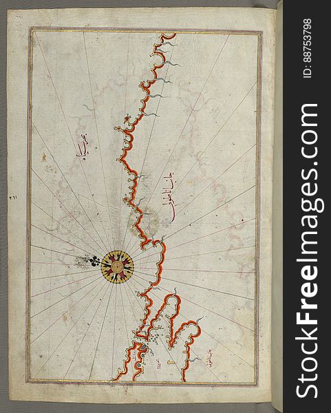
Illuminated Manuscript Map of the coast of Andalusia with the city of Grenada (Gharnātah), from Book on Navigation, Wal
Illuminated Manuscript, Map of the Caspian Sea (Baḥr-i Khazar) from Book on Navigation, Walters Art Museum Ms. W.658
Illuminated Manuscript Map of Saronikos (Aiyina) Bay, from Book on Navigation, Walters Art Museum Ms. W.658, fol. 133a
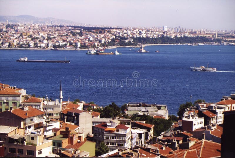
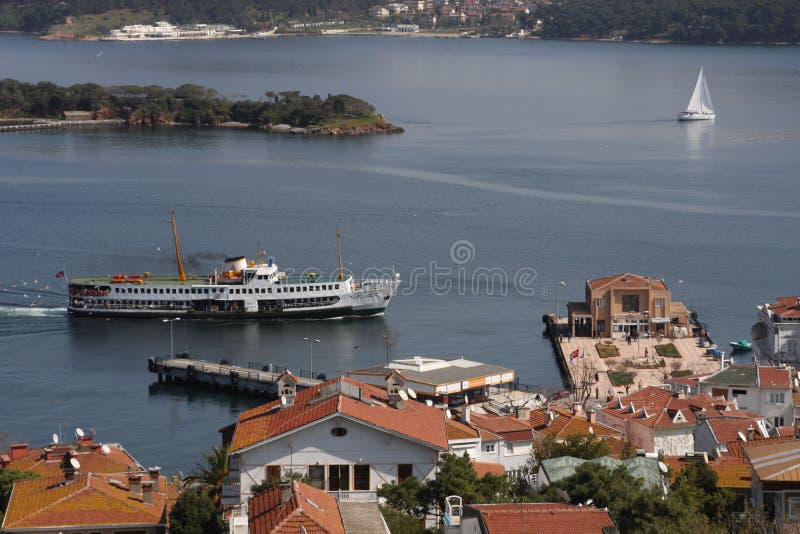
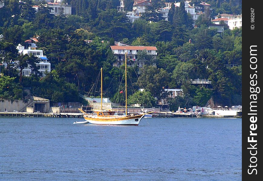
Boshphorous
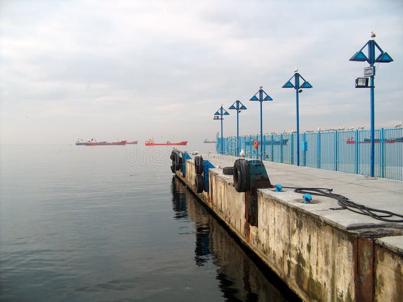
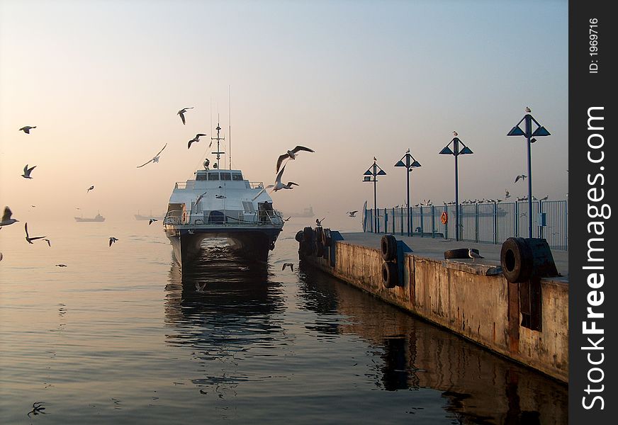
Wharf
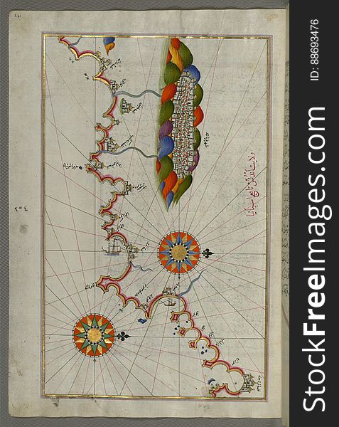
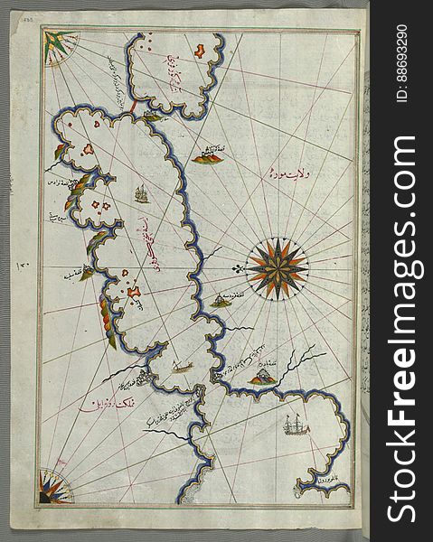
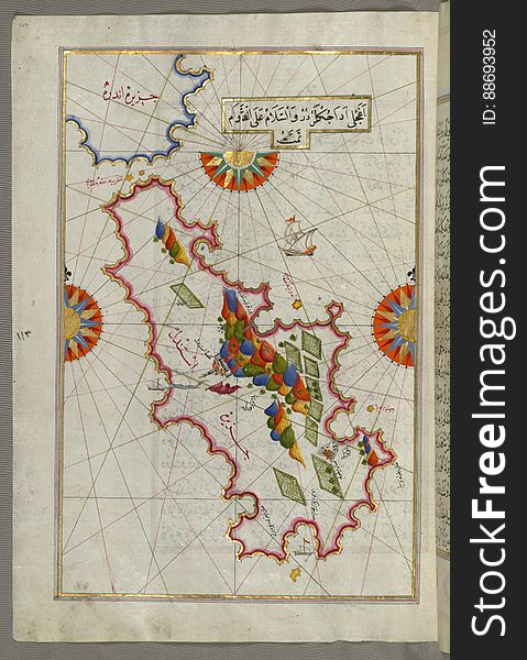
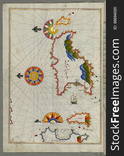
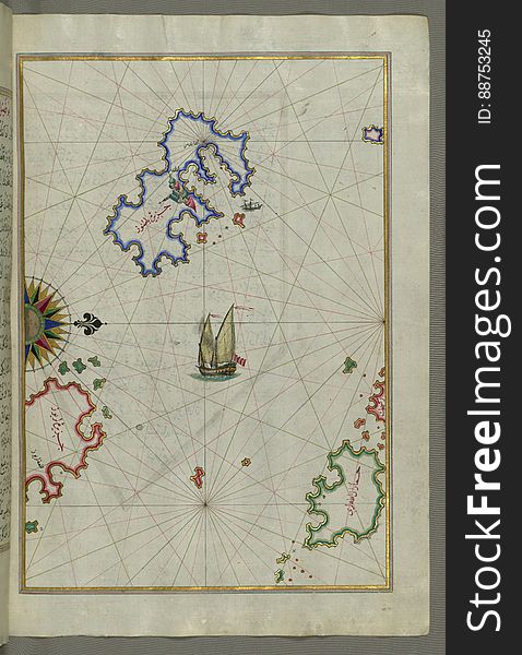
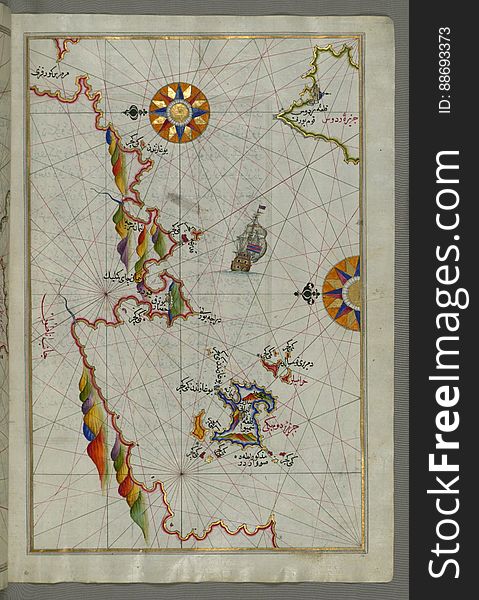
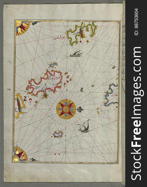
Illuminated Manuscript Map of part of the European coastline with the islands of Semendrek (Samothraki) and Imroz (
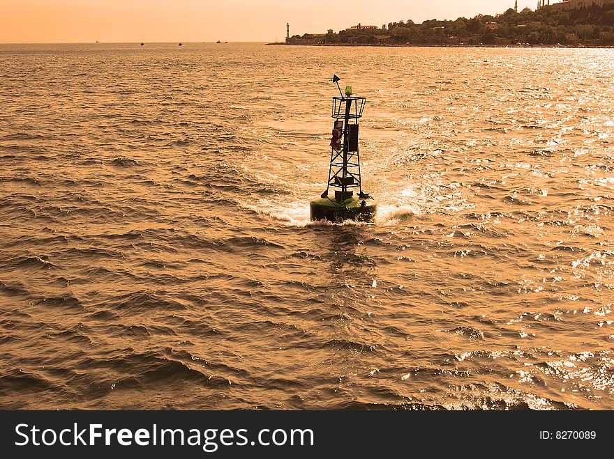
Warning lamp
Illuminated Manuscript Tinos (İstendil) island in the Aegean Sea, from Book on Navigation, Walters Art Museum Ms. W.65
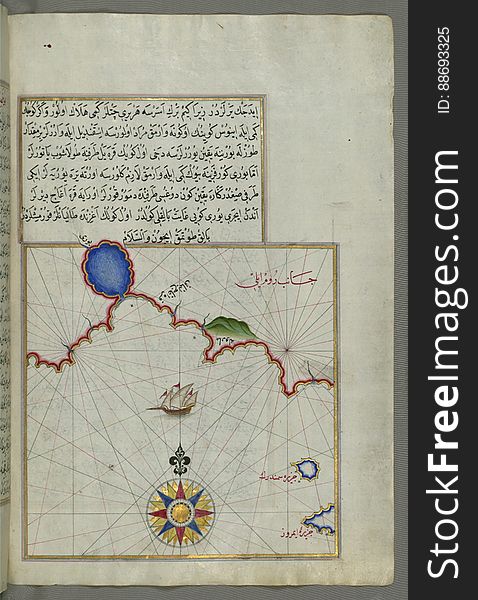
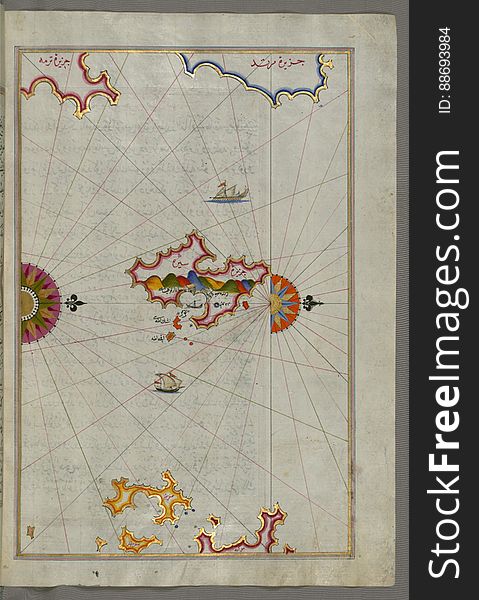
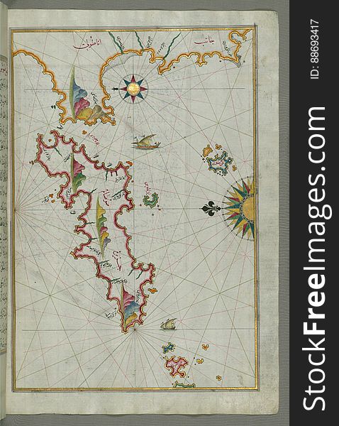
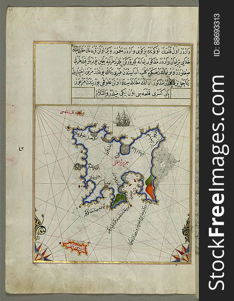
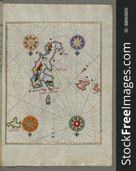
Illuminated Manuscript Map of The island of Bozjah (Tenedos) off the coast of Anatolia, from Book on Navigation, Walters
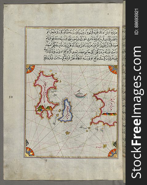
Illuminated Manuscript The islands of Delos and Rineia west of Mykonos island in the Aegean Sea, from Book on Navigation, Walters
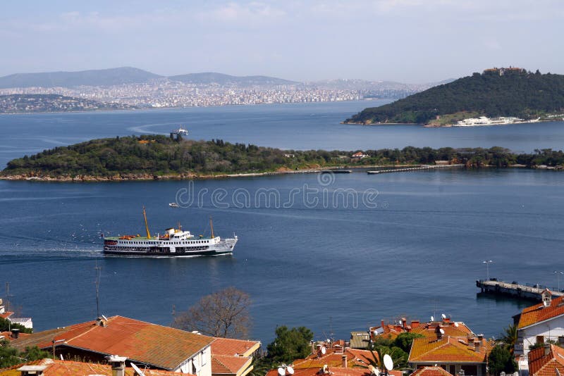
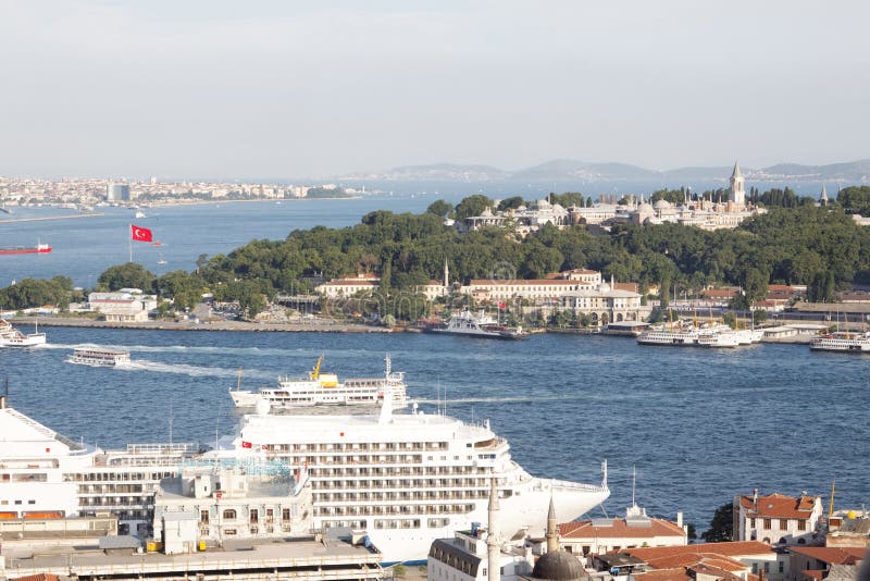
Prince Islands in Turkey.
Illuminated Manuscript, Map of the coast of the Black Sea from Istanbul to Geresun from Book on Navigation, Walters Art Museum Ms.
Illuminated Manuscript Mykonos island in the Aegean Sea, from Book on Navigation, Walters Art Museum Ms. W.658, fol.116a
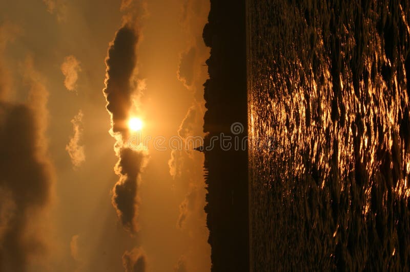
Sunset-istanbul
Prince Islands
The island of Patmos (Bāṭnūz) south-east of Ikaria (Ahikere) in the eastern Aegean Sea from Book on Naviga
Little girl and her mother
Prince Islands in Turkey.
Illuminated Manuscript The island of Syros (Sire) in the Aegean Sea, from Book on Navigation, Walters Art Museum Ms. W.6
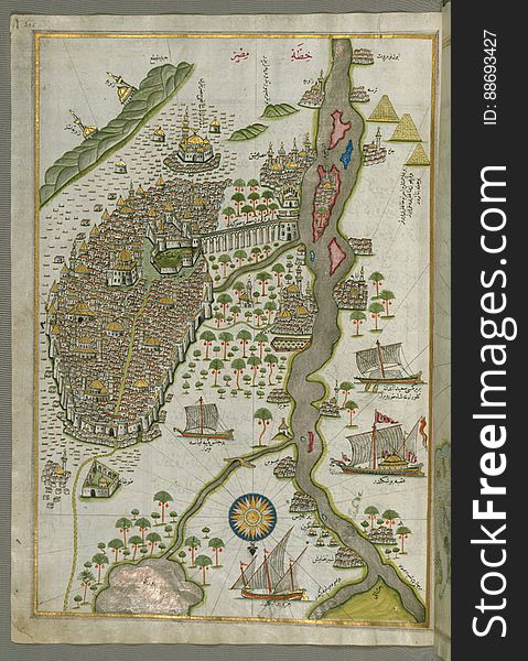
Illuminated Manuscript Map of Cairo, from Book on Navigation, Walters Ms. W.658, fol. 305b
Illuminated Manuscript, Upper Aegean Sea with the islands of Imbros (Imroz, Gökçeada) and Bozca (Tenedos), f
Sailboat
Illuminated Manuscript map of the northeastern tip of Rhodes (Rodos, Rūdūs) Island facing the Anatolian coast with the
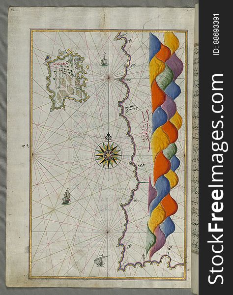
Illuminated Manuscript Map of the Islands of the Adriatic Coast from Book on Navigation, Walters Art Museum Ms. W.658, fol. 208a
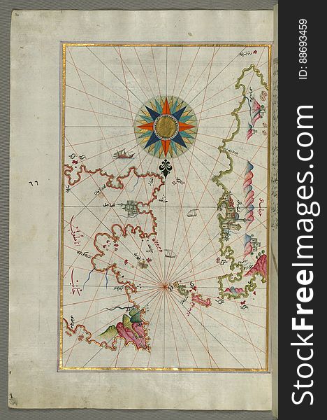
Syme (Sömbeki) island north-west of Rhodes (Rodos) island from Book on Navigation, Walters Art Museum Ms. W.6
Illuminated Manuscript islands of Ikaria (Ahikere) and Samos (Ṣūṣām) in the eastern Aegean Sea, from Boo
Chios (Sakiz, Sāqiz) Island facing Kysos (Çeşme) fortress on the Anatolian side, from Book on Navigation, W
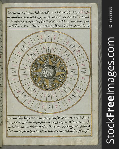
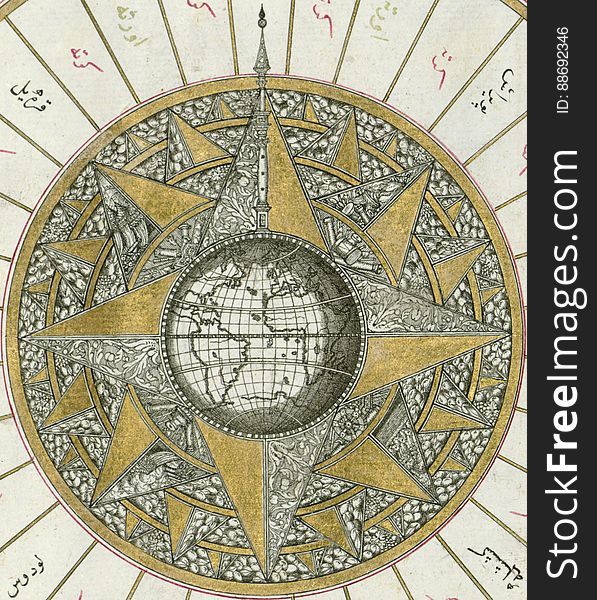
Illuminated Manuscript, Map of Western hemisphere within a windrose, from Book on Navigation, Walters Art Museum Ms. W.658, fol.24
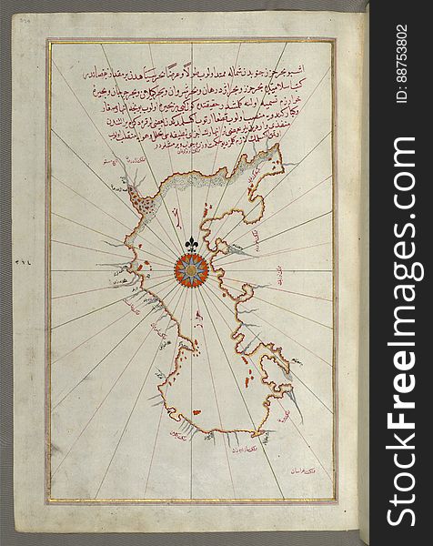
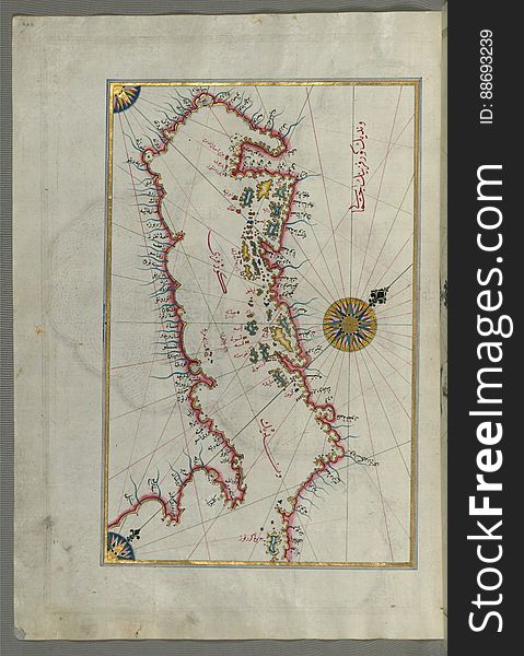
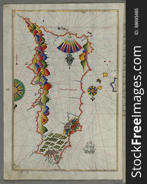
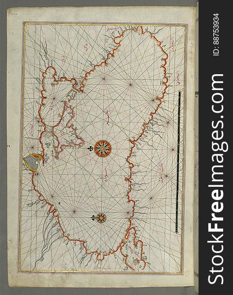
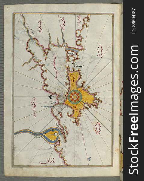
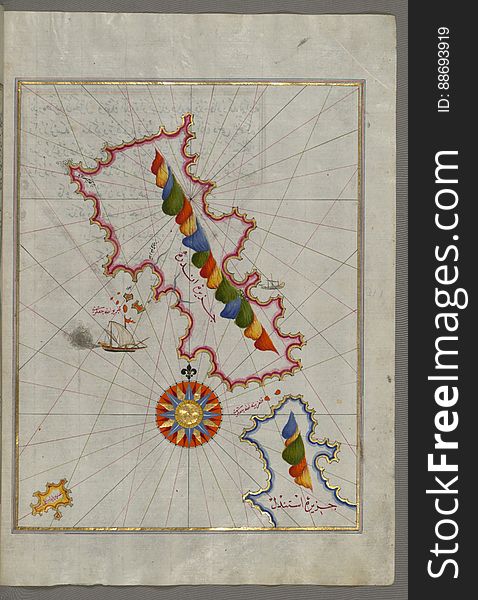
The Island of Samos, from Book on Navigation, Walters Art Museum Ms. W.658, fol.79b
Istanbul Turkey
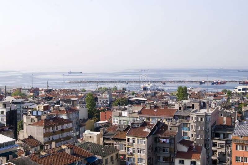
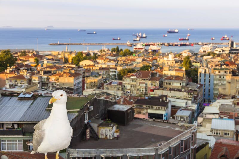
Panoramic view of Istanbul roofs
Rhodes (Rodos, Rudūs) Island from Book on Navigation, Walters Art Museum Ms. W.658, fol. 103a
The Golden Sea
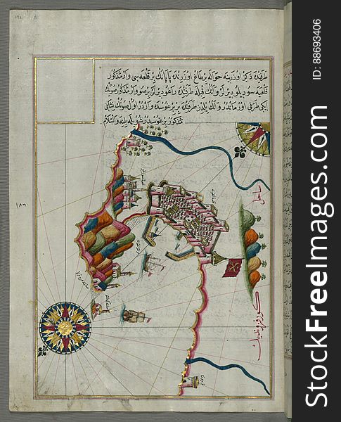
Illuminated manuscript Map of the Fortress of Ancona, from Book on navigation, Walters Art Museum ms. W.658, fol. 192a
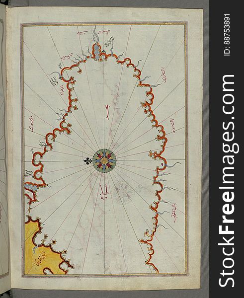
Illuminated Manuscript, Map of the coast line of the Black Sea from Book on Navigation, Walters Art Museum Ms. W.658, fol.371b
Illuminated Manuscript The island of Naxos (Naḳşe) in the southeastern Aegean Sea, from Book on Navigation, Walters
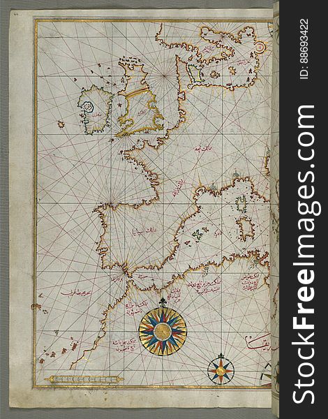
Map of western Europe and North Africa, from Book on Navigation, Walters Art Museum Ms. W.658, fol.64a
Illuminated Manuscript Map of the islands of Skyros (İskire) and Euboea (Evvoia, Aghrībūz, Eğriboz), from
Illuminated Manuscript, Map of the Black Sea coastline from Book on Navigation, Walters Art Museum Ms. W.658, fol.373a
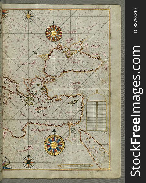
Map of the eastern Mediterranean, Aegean and the Black Sea, from Book on Navigation, Walters Art Museum Ms. W.658, fol.63b
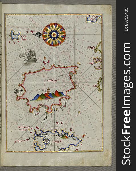
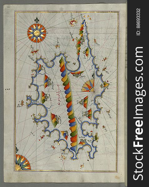
Illuminated Manuscript Map of the island of Lemnos, from Book on Navigation, Walters Art Museum Ms. W.658, fol.47a
Illuminated manuscript Map of Corsica, from Book on Navigation, Walters Art Museum Ms. 658, fol. 229a
Illuminated Manuscript, Map of Western hemisphere within a windrose, from Book on Navigation, Walters Art Museum Ms. W.658, fol.24
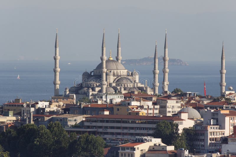
Blue Mosque Istanbul
Ripples at sunset
Illuminated Manuscript The Island of Amorgos (Yamurgi, Yamorki) in the southeastern Aegean Sea, from Book on Navigation
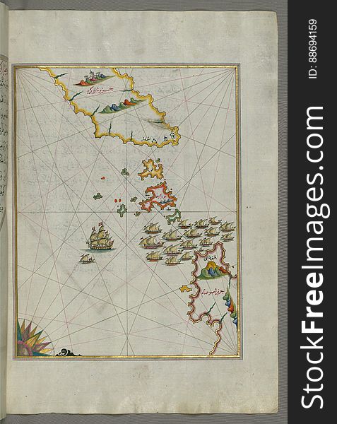
Illuminated Manuscript, Map of the Crimea (Qrīm), the Sea of Azov, and the mouth of the Dnieper from Book on Navigation
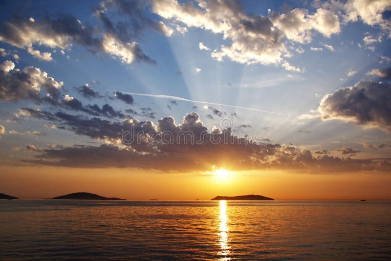
Dramatic sundown in Istanbul
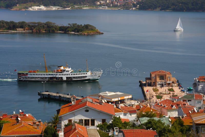
Iskele
Illuminated Manuscript Island of Ikaria (Ahikere) in the eastern Aegean sea west of Samos (Ṣūṣām), from
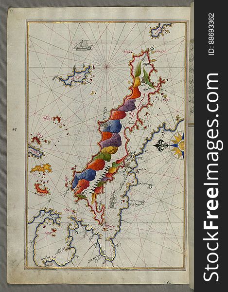
Illuminated Manuscript Map of Sardina from Book of Navigation, Walters Art Museum, Ms. W.658, fol. 226b
Sights of Istanbul. View of city.
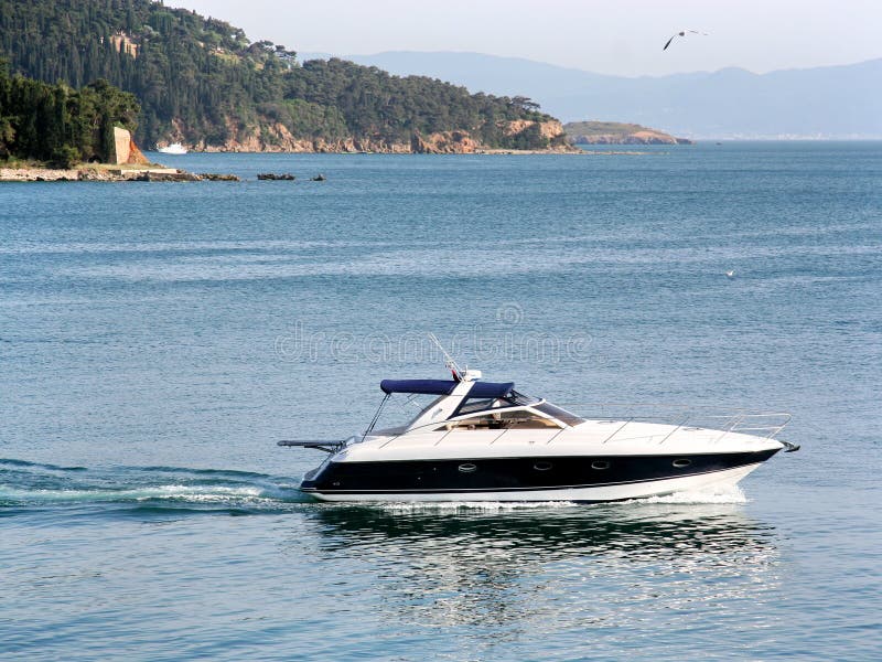
Speedboat
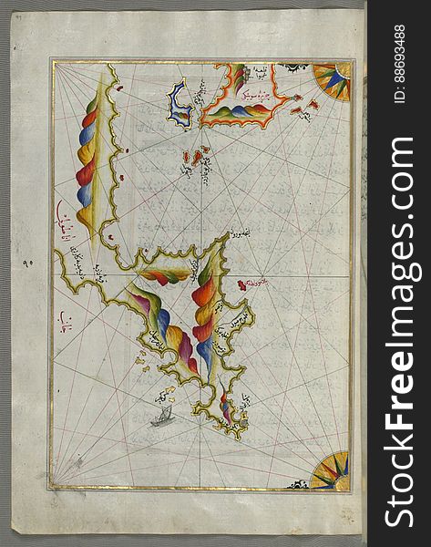
Chalkis (Herke) island off Rhodes Island from Book on Navigation, Walters Art Museum Ms. W.658, fol.104a
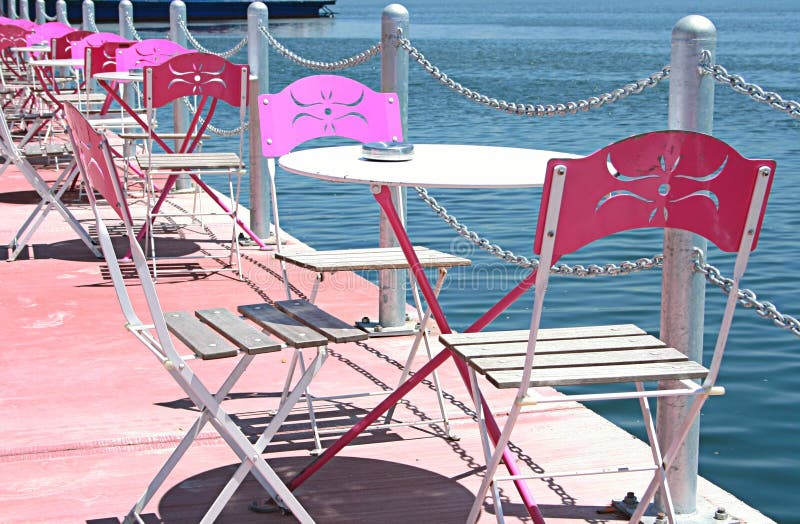
Summer Cafe
Illuminated Manuscript, Map of two islands: Santorini (Ṣāntūrūn) and Thera (Thira) in the Aegean Sea, nor
Illuminated Manuscript, The Island of Leros (Līryūs) in the eastern Aegean Sea, from Book on Navigation, Walters Art M
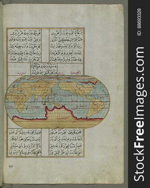
Illuminated Manuscript, Oval Map of the World, from Book on Navigation, Walters Art Museum Ms. W.658, fol.23b
Illuminated Manuscript, The island of Andros (Andre, Andra) in the northern Aegean Sea, from Book on Navigation, Walters
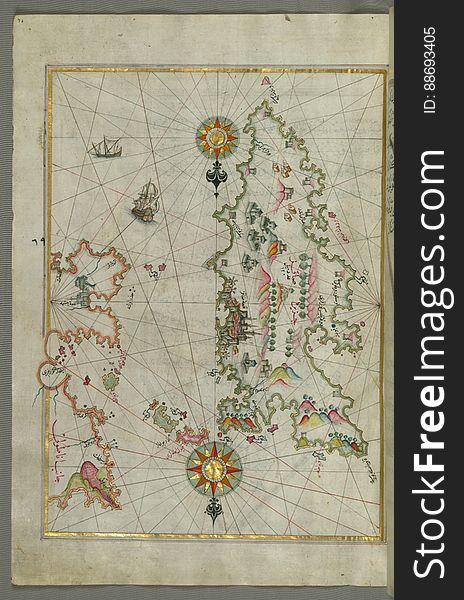
Detailed map of Chios (Sakiz, Ṣāqiz) Island with its fortress and other topographical features, from Book on Navigati
Next page
2
/ 7
Home
Search for Marmara sea free images