Browse categories
Log in
Sign up
Fol Free Stock Images
Related searches:
leaves
Safe search
Include:
RF-LL
Public Domain
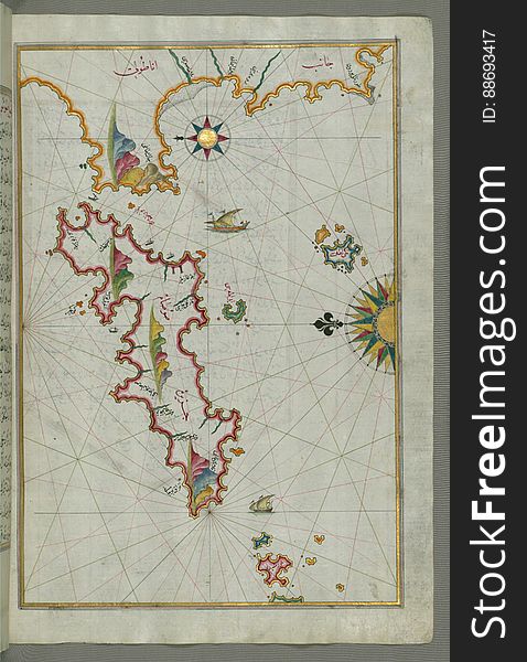
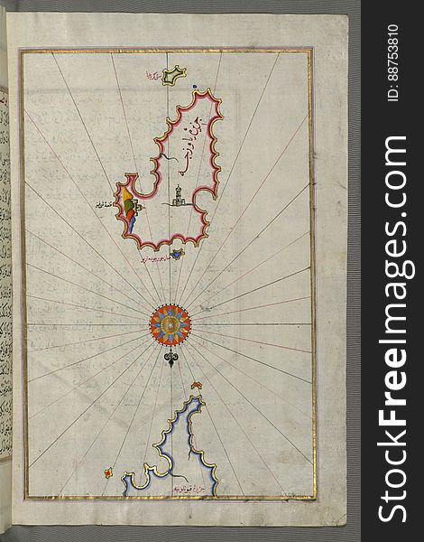
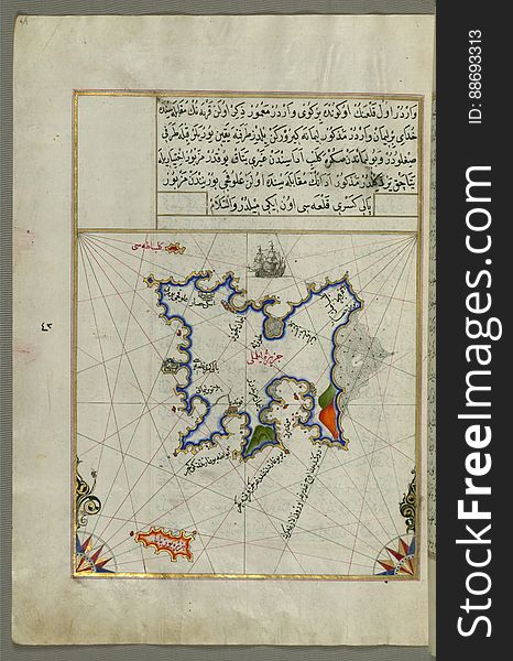
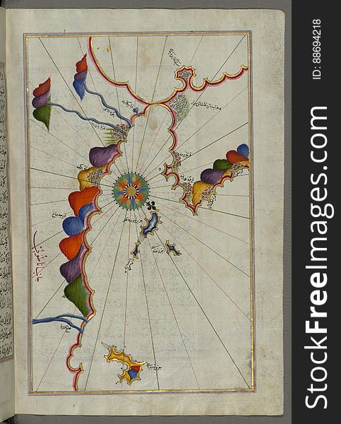
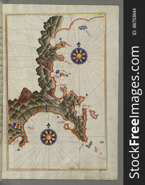
The Island of Samos, from Book on Navigation, Walters Art Museum Ms. W.658, fol.79b
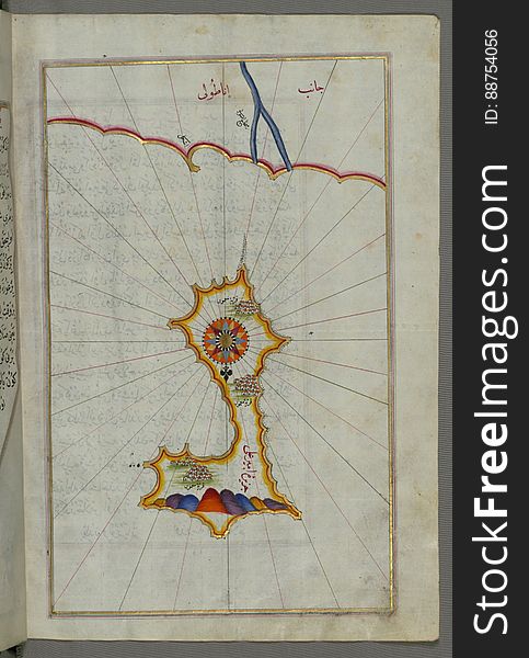
Illuminated Manuscript, Map of the island of Mīr ʿAlī from Book on Navigation, Walters Art Museum Ms. W.658, fol.369b
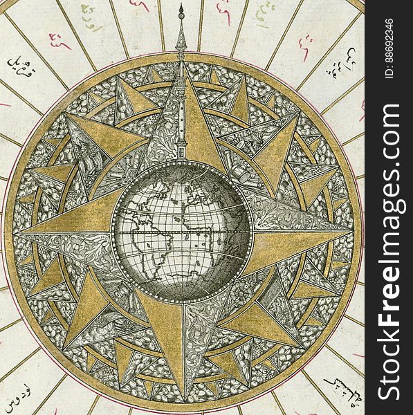
Illuminated Manuscript, Map of Western hemisphere within a windrose, from Book on Navigation, Walters Art Museum Ms. W.658, fol.24
Illuminated Manuscript, Map from Book on Navigation, Walters Art Museum Ms. W.658, fol.365b
Illuminated Manuscript, Map from Book on Navigation, Walters Art Museum Ms. W.658, fol.358b
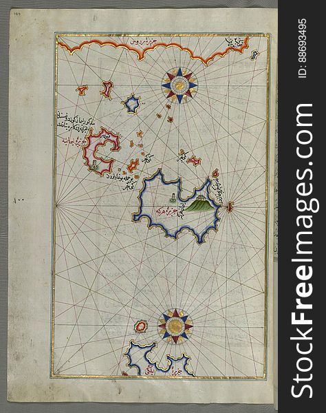
Rhodes (Rodos, Rudūs) Island from Book on Navigation, Walters Art Museum Ms. W.658, fol. 103a
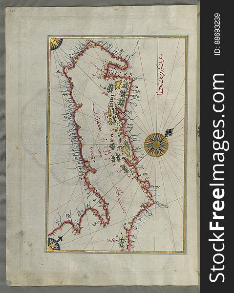
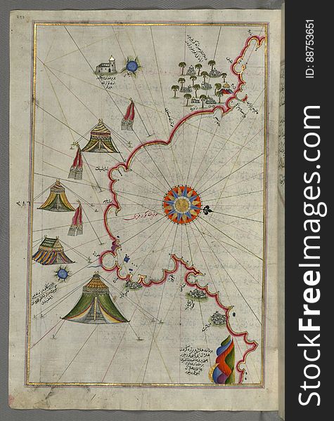
Illuminated Manuscript Map of the Islands of the Adriatic Coast from Book on Navigation, Walters Art Museum Ms. W.658, fol. 208a
Illuminated Manuscript, Map of unmarked part of the Egyptian coastline from Book on Navigation, Walters Art Museum Ms. W.658, fol.
Illuminated Manuscript, Map of the Libyan coast as far as Benghazi from Book on Navigation, Walters Art Museum Ms. W.658, fol.293a
Illuminated Manuscript, Map of the Egyptian coast from Salūm east from Book on Navigation, Walters Art Museum Ms. W.658, fol.297b
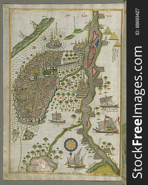
Illuminated Manuscript Map of Cairo, from Book on Navigation, Walters Ms. W.658, fol. 305b
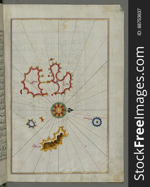
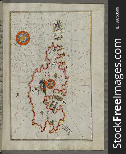
Illuminated Manuscript, Map of Kythnos (Termia) island from Book on Navigation, Walters Art Museum Ms. W.658, fol.360b
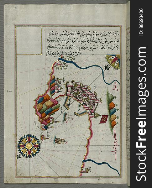
Illuminated manuscript Map of the Fortress of Ancona, from Book on navigation, Walters Art Museum ms. W.658, fol. 192a
Illuminated Manuscript Map of the World from Book on Navigation, Walters Art Museum Ms. W.658, fol. 41a
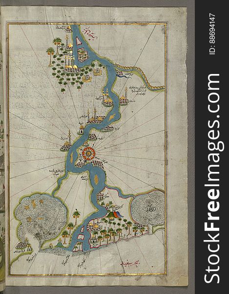
Illuminated Manuscript, Map of the river Nile from its estuary south from Book on Navigation, Walters Art Museum Ms. W.658, fol.30
Illuminated Manuscript, Map from Book on Navigation, Walters Art Museum Ms. W.658, fol.363b
Illuminated Manuscript Map of part of the European coastline with the islands of Semendrek (Samothraki) and Imroz (
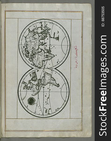
Illuminated Manuscript, World map in a double hemisphere, from Book on Navigation, Walters Art Museum Ms. W.658, fol. 40b
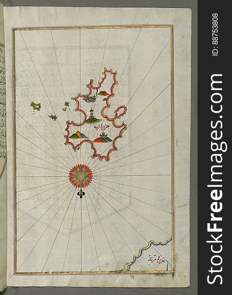
Illuminated Manuscript, Map of Skyros (Ä°skire) island from Book on Navigation, Walters Art Museum Ms. W.658, fol.362b
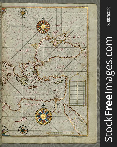
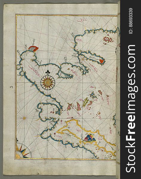
Map of the eastern Mediterranean, Aegean and the Black Sea, from Book on Navigation, Walters Art Museum Ms. W.658, fol.63b
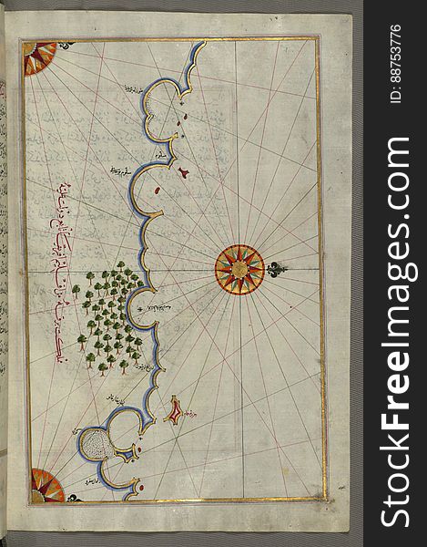
Illuminated Manuscript, Map of a fragment of the Island of Crete from Book on Navigation, Walters Art Museum Ms. W.658, fol.351b
Illuminated Manuscript Argolikos (Anaboli) Bay, from Book on Navigation, Walters Art Museum Ms. W.658, fol.122b
Illuminated Manuscript Messiniakos Bay (Bay of Messini), fr, om Book on Navigation, Walters Art Museum Ms. W.658, fol.12
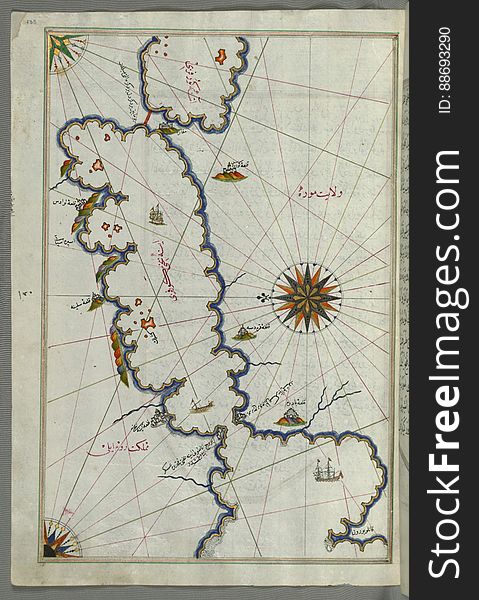
Illuminated Manuscript, Map of the Black Sea coastline from Book on Navigation, Walters Art Museum Ms. W.658, fol.373a
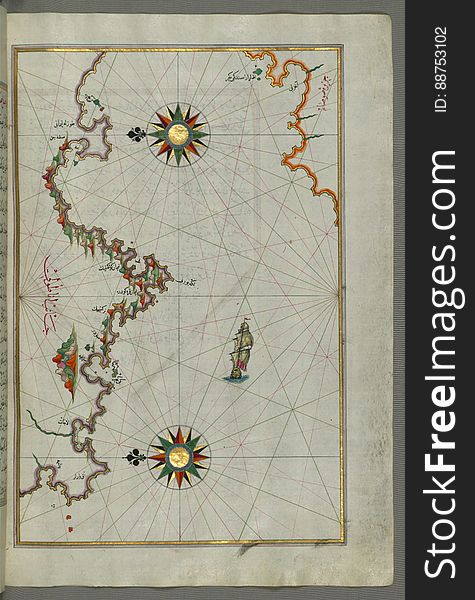
The coastline of the western Aegean Sea as far south as the Island of Euboea (Evvoia, Aghrībūz, Eğriboz), from Book o
Illuminated Manuscript Map of Saronikos (Aiyina) Bay, from Book on Navigation, Walters Art Museum Ms. W.658, fol. 133a
Illuminated Manuscript, Map of the Island of Malta (MÄltah) from Book on Navigation, Walters Art Museum Ms. W.658, fol
Illuminated Manuscript, Map of The Bay of Corinth from Book on Navigation, Walters Art Museum Ms. W.658, fol.137a
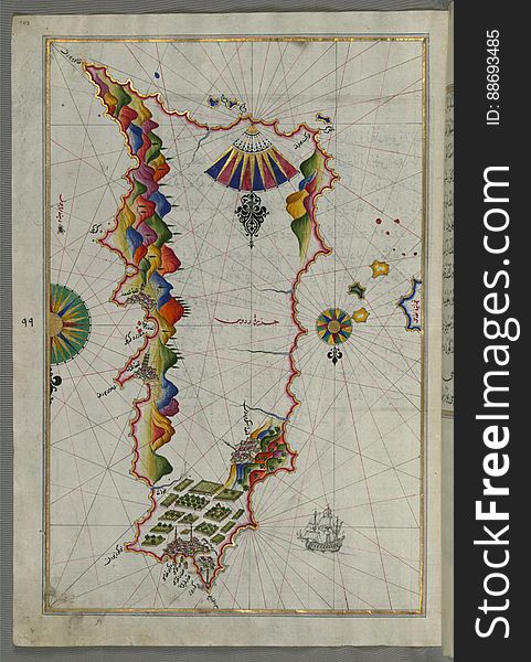
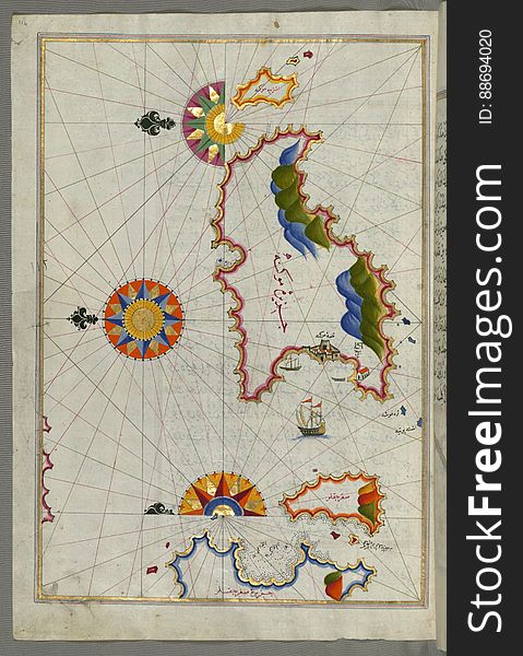
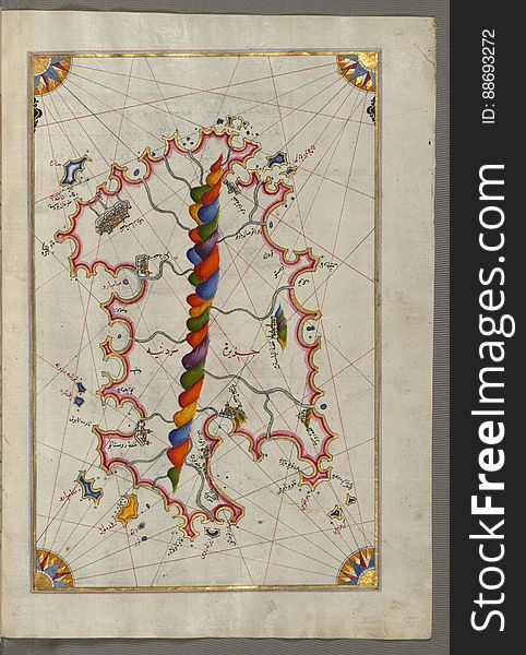
The Anatolian coast along the Kerme Bay from Book on Navigation, Walters Art Museum Ms. W.658, fol. 92a
Illuminated Manuscript Mykonos island in the Aegean Sea, from Book on Navigation, Walters Art Museum Ms. W.658, fol.116a
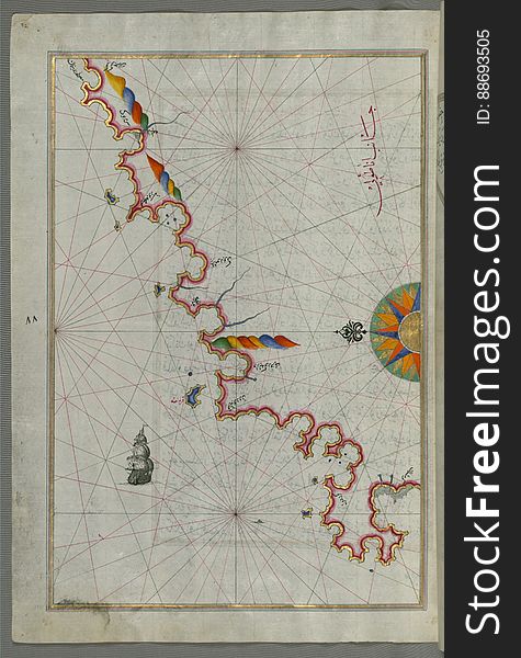
The Anatolian Coast facing Samos, from Book on Navigation, Walters Art Museum Ms. W.658, fol.75b
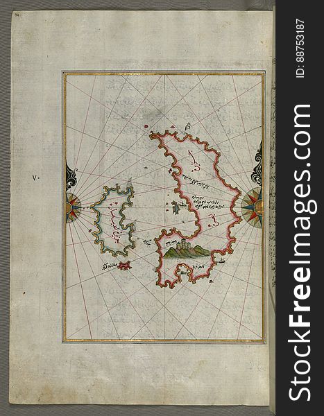
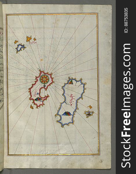
The island of Psara west of Chios, from Book on Navigation, Walters Art Museum Ms. W.658, fol.74a
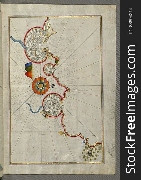
Illuminated Manuscript Map of the island of Lemnos, from Book on Navigation, Walters Art Museum Ms. W.658, fol.47a
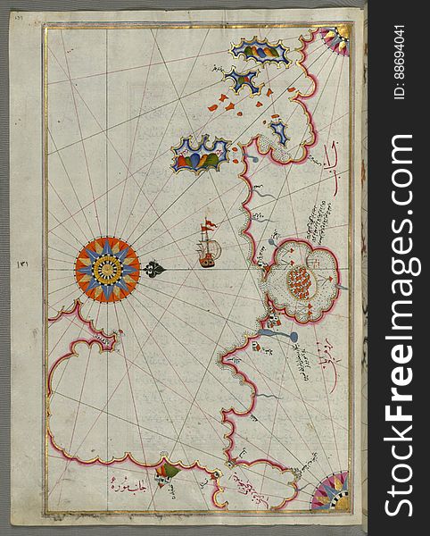
Illuminated Manuscript, Map of the Aloneses (Čamlığa) from Book on Navigation, Walters Art Museum Ms. W.658, fol.364b
Illuminated Manuscript Map of Sardina from Book of Navigation, Walters Art Museum, Ms. W.658, fol. 226b
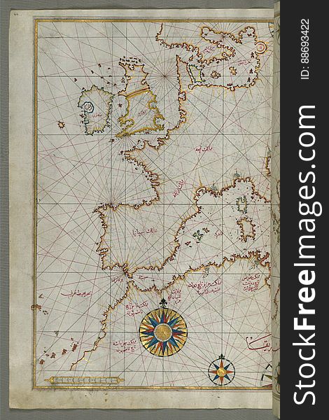
Map of western Europe and North Africa, from Book on Navigation, Walters Art Museum Ms. W.658, fol.64a
Illuminated Manuscript, Map from Book on Navigation, Walters Art Museum Ms. W.658, fol.367b
Chalkis (Herke) island off Rhodes Island from Book on Navigation, Walters Art Museum Ms. W.658, fol.104a
Illuminated Manuscript, Map of eastern coast of Calabria around Rossano from Book on Navigation, Walters Art Museum Ms. W.658, fol
Illuminated Manuscript from Book on Navigation, Walters Art Museum Ms. W.658, fol.68a
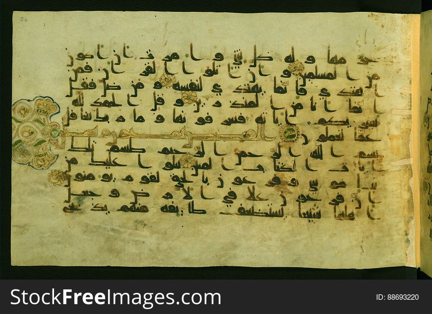
Illuminated Manuscript Walters Art Museum Ms. W.554, fol. 36a
Illuminated manuscript Map of Corsica, from Book on Navigation, Walters Art Museum Ms. 658, fol. 229a
Illuminated Manuscript, Map of the coast line of the Black Sea from Book on Navigation, Walters Art Museum Ms. W.658, fol.371b
Illuminated Manuscript, Map of Western hemisphere within a windrose, from Book on Navigation, Walters Art Museum Ms. W.658, fol.24
Illuminated Manuscript, Map of Melos (Deġirmenlik) island from Book on Navigation, Walters Art Museum Ms. W.658, fol.35
Illuminated Manuscript, Map of the Anatolian coast east of Finike from Book on Navigation, Walters Art Museum Ms. W.658, fol.336b
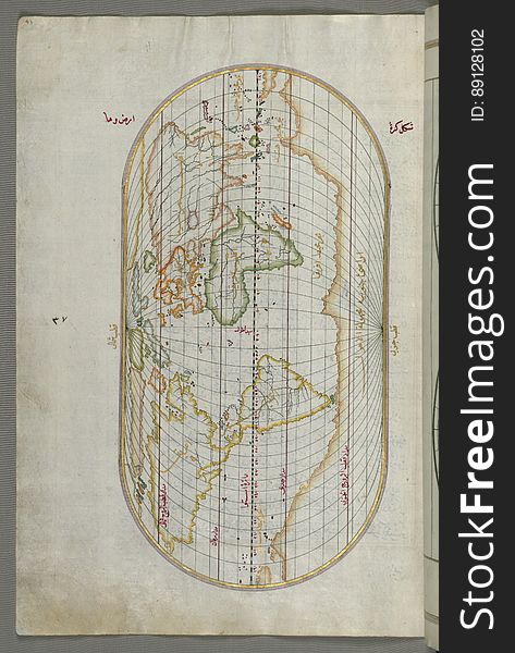
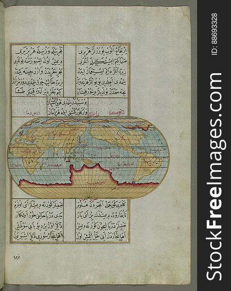
Illuminated Manuscript, Oval Map of the World, from Book on Navigation, Walters Art Museum Ms. W.658, fol.23b
Next page
1
/ 12
Home
Search for Fol free images