Browse categories
Log in
Sign up
Navigation Free Stock Images
Related searches:
gps
world map
why
web navigation
travel
Safe search
Include:
RF-LL
Public Domain
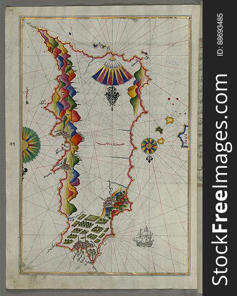
Rhodes (Rodos, Rudūs) Island from Book on Navigation, Walters Art Museum Ms. W.658, fol. 103a
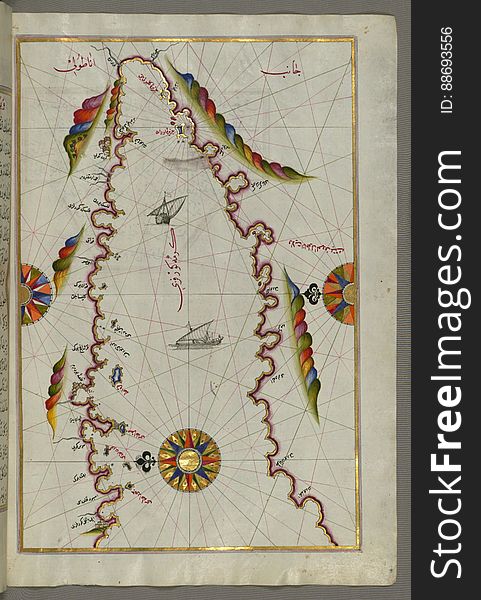
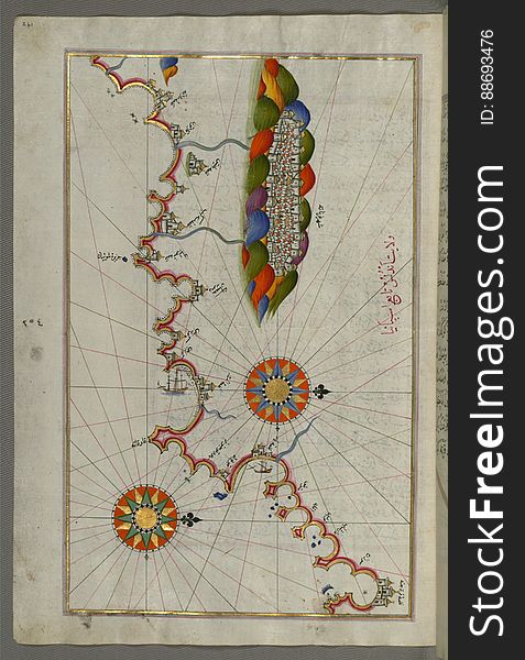
The Bay of Kerme east of east of Cos (Stancho, İstanköy) island from Book on Navigation, Walters Art Museum Ms. W.658
Spiral staircase to heaven
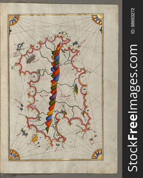
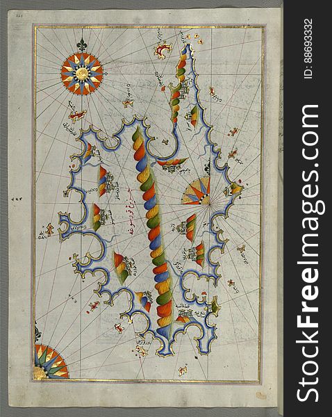
Illuminated Manuscript Map of Sardina from Book of Navigation, Walters Art Museum, Ms. W.658, fol. 226b
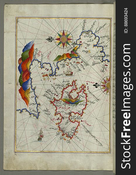
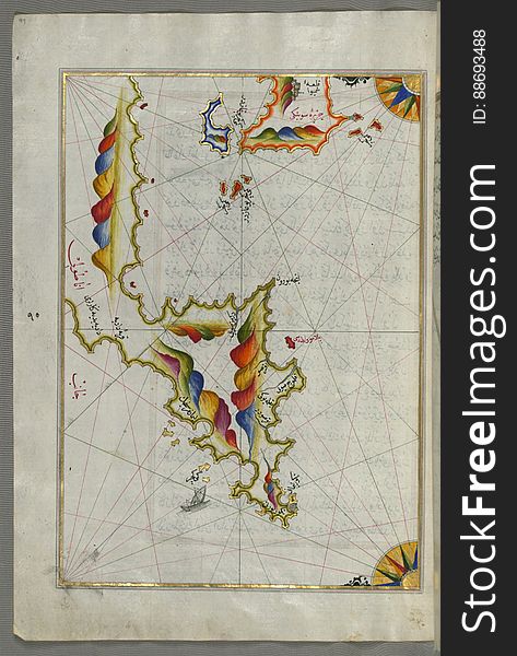
The Island of Midilli (Midillü, Mitylene, Lesvos) in the northeastern Aegean Sea, from Book on Navigation, Walters Art
Illuminated Manuscript, The Islands of Corfu (Kerkira, Kūrfūz) and Paxi (Paxoi) from Book on Navigation, Wal
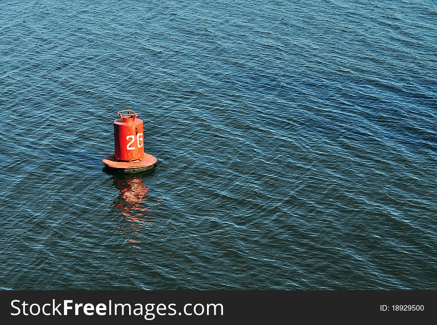
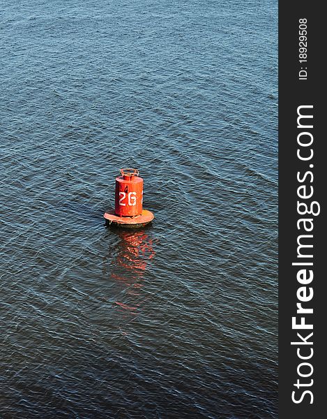
Buoy on the water surface for safe navigation
Spiral staircase to heaven
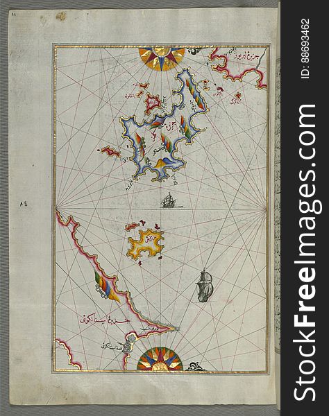
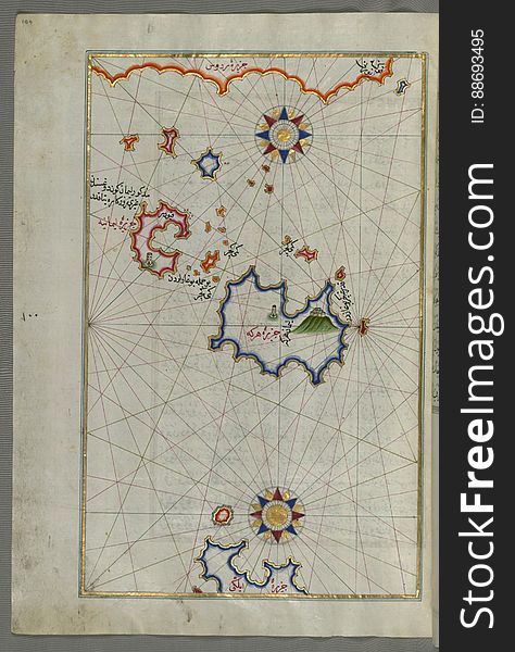
The Island of Kalimnos (Kalimaz) south of Leros in the eastern Aegean Sea from Book on Navigation, Walters Art Museum Ms
Web navigation buttons.
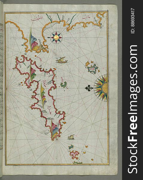
The island of Cos (Stancho, İstanköy) facing the Anatolian mainland from Book on Navigation, Walters Art Museum Ms. W.
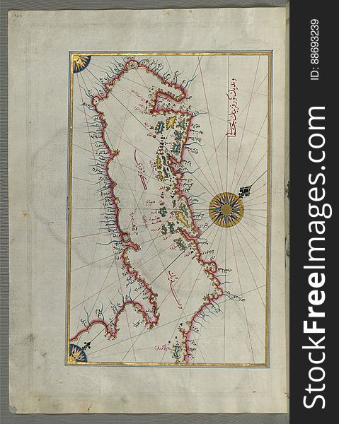
The Island of Samos, from Book on Navigation, Walters Art Museum Ms. W.658, fol.79b
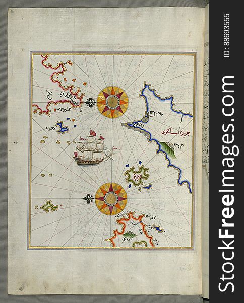
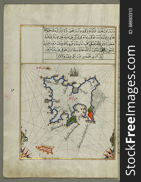
Illuminated Manuscript Map of The island of Bozjah (Tenedos) off the coast of Anatolia, from Book on Navigation, Walters
Evening on the frosty pier of Trieste
Waterway Signs, Recommendatory
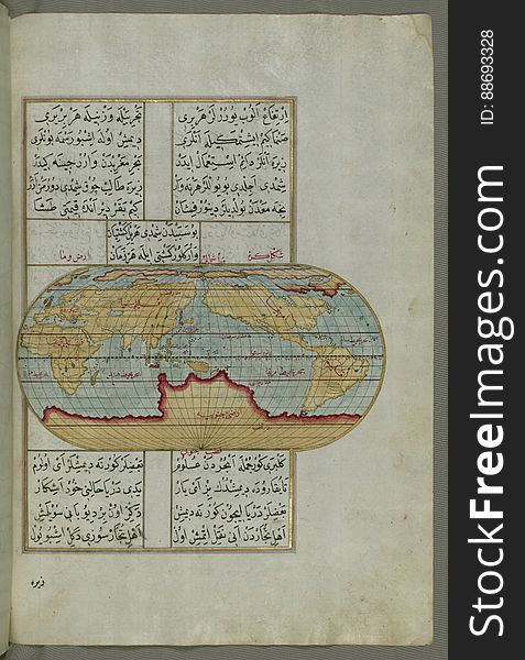
Illuminated Manuscript, Oval Map of the World, from Book on Navigation, Walters Art Museum Ms. W.658, fol.23b
Hamamatsu Lighthouse-2
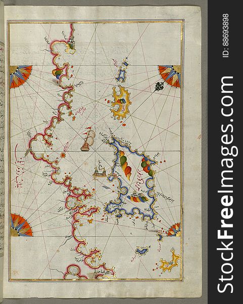
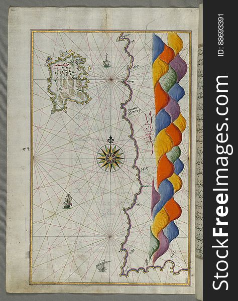
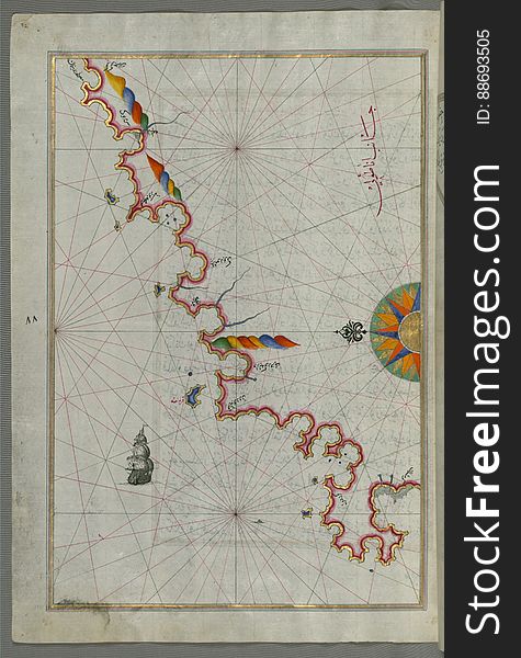
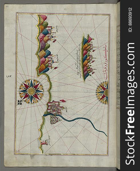
The Anatolian coast along the Kerme Bay from Book on Navigation, Walters Art Museum Ms. W.658, fol. 92a
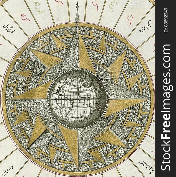
Illuminated Manuscript, Map of Western hemisphere within a windrose, from Book on Navigation, Walters Art Museum Ms. W.658, fol.24
Synchronous swiming
Syme (Sömbeki) island north-west of Rhodes (Rodos) island from Book on Navigation, Walters Art Museum Ms. W.6
Illuminated Manuscript The Methana (Mutūn) fortress in the Saronikos (Aiyina) Bay, from Book on Navigation, W
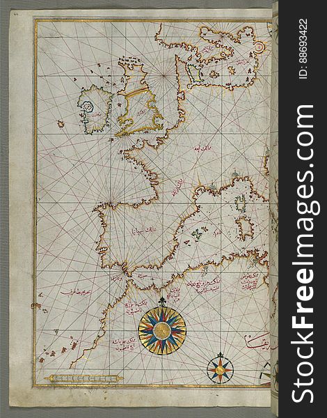
Map of western Europe and North Africa, from Book on Navigation, Walters Art Museum Ms. W.658, fol.64a
Navigation instruments
Illuminated manuscript Map of Corsica, from Book on Navigation, Walters Art Museum Ms. 658, fol. 229a
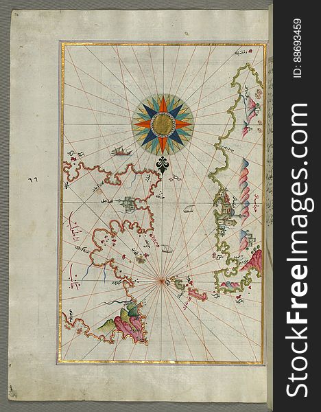
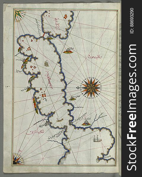
Illuminated Manuscript Map of the Islands of the Adriatic Coast from Book on Navigation, Walters Art Museum Ms. W.658, fol. 208a
Zhen Zhi Volcano Inner Mongolia
Buoy on the water, marine distance marker
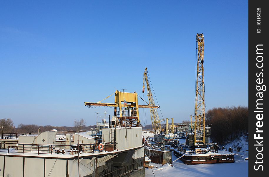
River Harbor in winter
Red navigation icons
Illuminated Manuscript, Map of Western hemisphere within a windrose, from Book on Navigation, Walters Art Museum Ms. W.658, fol.24
Illuminated Manuscript Map of the coast of Andalusia with the city of Grenada (GharnÄtah), from Book on Navigation, Wal
Plastic navigation icons
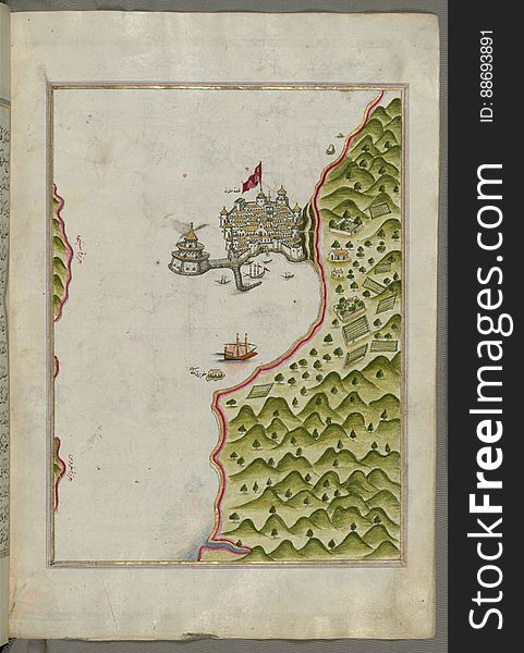
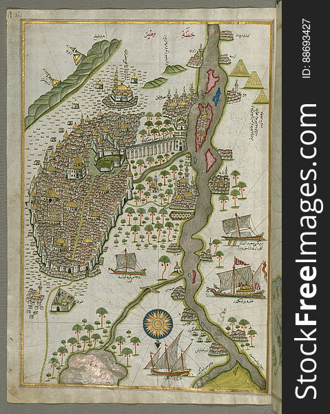
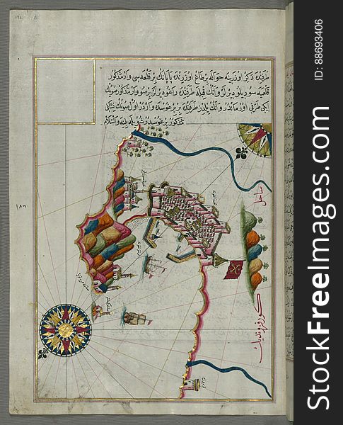
Illuminated Manuscript Map of Cairo, from Book on Navigation, Walters Ms. W.658, fol. 305b
Set - collection of illustration buttons
Pointer Tab Set With Web Navigation Icons
Chios (Sakiz, SÄqiz) Island facing Kysos (ÇeÅŸme) fortress on the Anatolian side, from Book on Navigation, W
Chalkis (Herke) island off Rhodes Island from Book on Navigation, Walters Art Museum Ms. W.658, fol.104a
Mercator_cartographer
Illuminated Manuscript, Map of the Italian coastline from Rimini south towards Pesaro from Book on Navigation, Walters Art Museum
Mountain navigation sticks
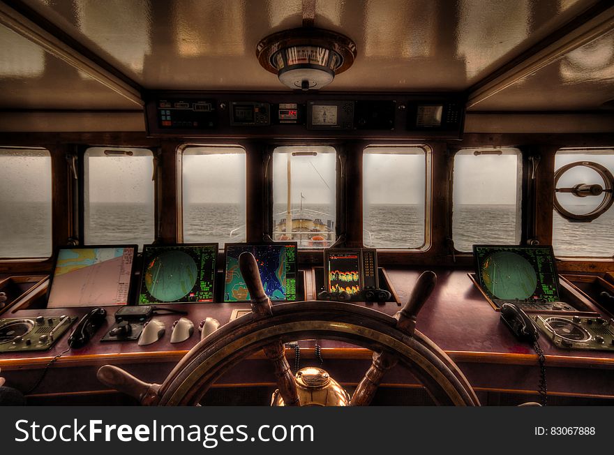
View from the wheelhouse
Illuminated Manuscript Map of the island of Lemnos, from Book on Navigation, Walters Art Museum Ms. W.658, fol.47a
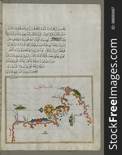
Anatolian coast and the small Kara (Qarah) island east of the town of Balat from Book on Navigation, Walters Art Museum
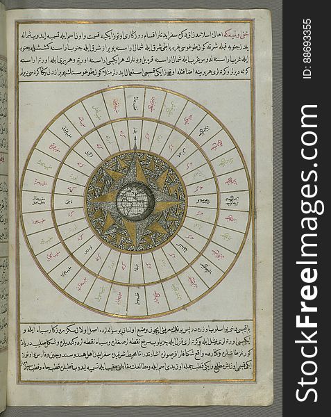
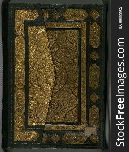
Illuminated Manuscript, Book on Navigation, Walters Art Museum Ms. W.658, Illuminated Manuscript of Three hundred and sixty Sufi q
Illuminated manuscript Map of the Fortress of Ancona, from Book on navigation, Walters Art Museum ms. W.658, fol. 192a
Illuminated Manuscript Map of Saronikos (Aiyina) Bay, from Book on Navigation, Walters Art Museum Ms. W.658, fol. 133a
Purple plastic navigation icons
Next page
4
/ 107
Home
Search for Navigation free images