Browse categories
Log in
Sign up
Maps Old Free Stock Images
Related searches:
backgrounds
Safe search
Include:
RF-LL
Public Domain
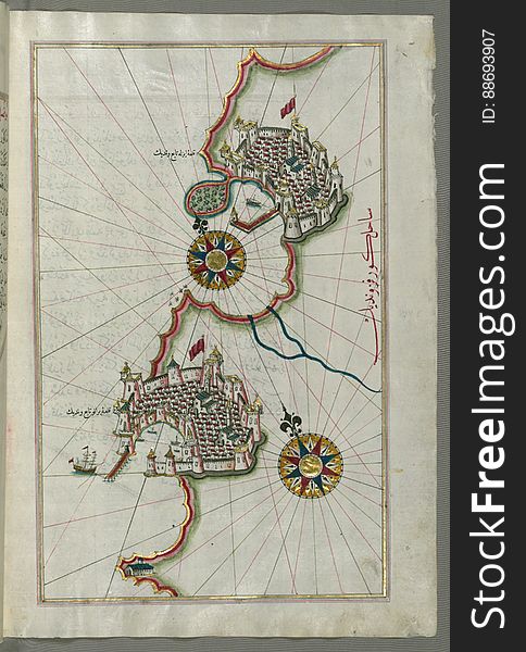
Illuminated Manuscript, Map of the coastline from Piran (Pirānū) as far as Izola (Īzele) (Slovenia
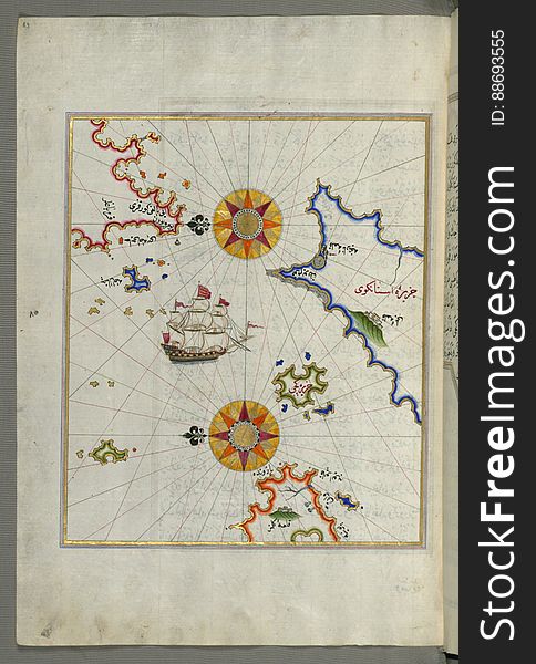
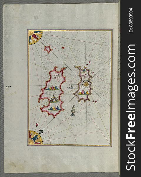
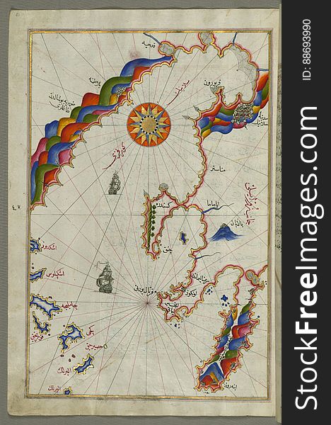
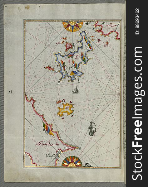
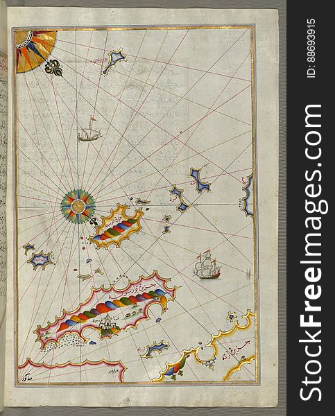
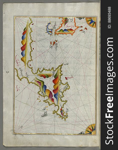
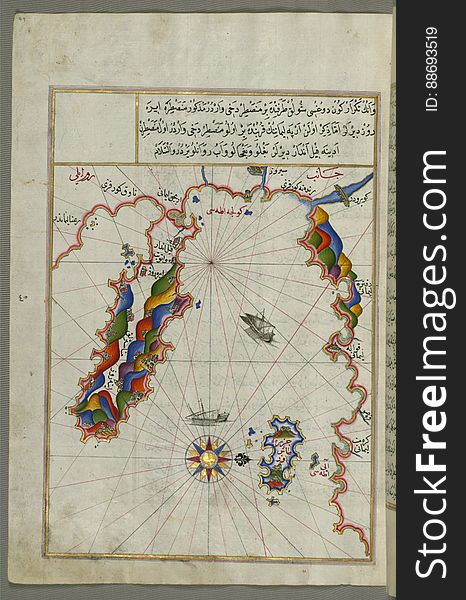
Several islands of the eastern Aegean Sea including: Leros (Līrūs) and Patmos (Bāṭnūz) from Book on Navi
Specular Map for Black Leather Texture #0015.
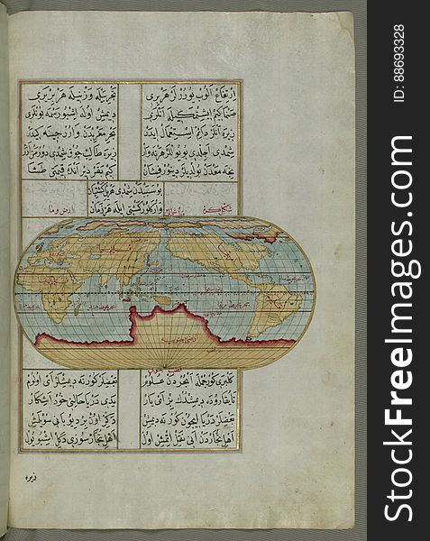
Illuminated Manuscript, Oval Map of the World, from Book on Navigation, Walters Art Museum Ms. W.658, fol.23b
Illuminated Manuscript Map of The Islands of Semendrek (Samothraki) and Imroz (Imbros) in the Aegean Sea, from
Illuminated Manuscript Map of the island of Lemnos, from Book on Navigation, Walters Art Museum Ms. W.658, fol.47a
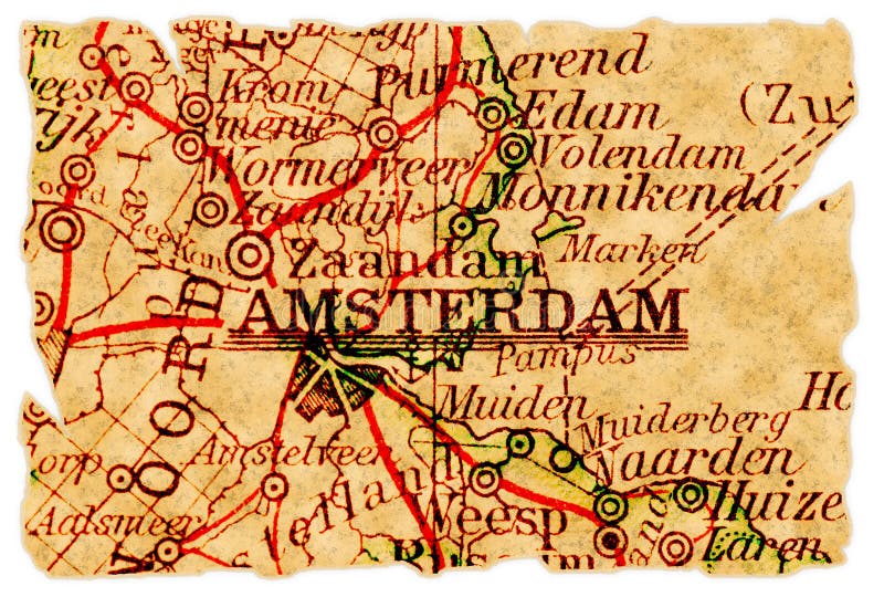
Amsterdam old map
The island of Cos (Stancho, İstanköy) facing the Anatolian mainland from Book on Navigation, Walters Art Museum Ms. W.
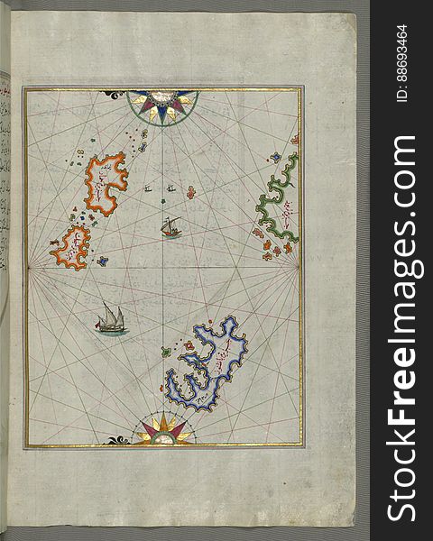
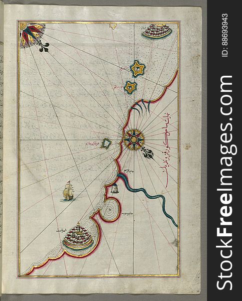
Illuminated Manuscript, Map of two as yet unidentified islands in the vicinity of Pag Island (Croatia) from Book on Nav
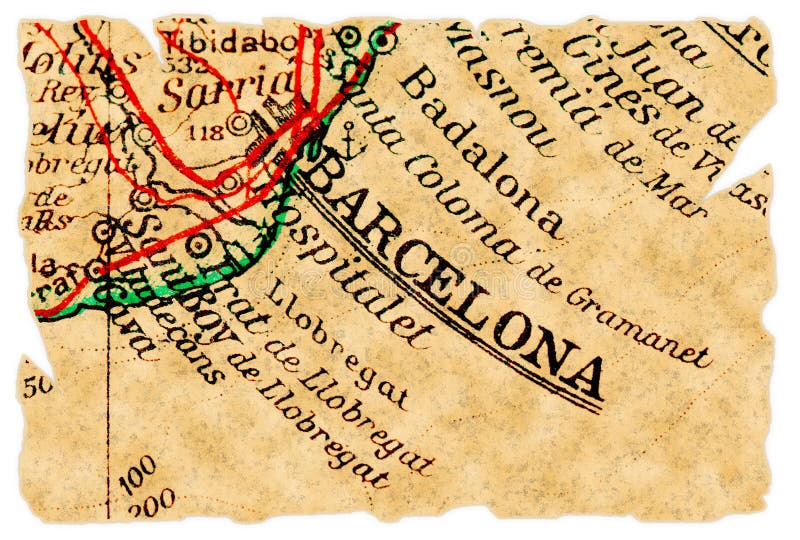
Barcelona old map
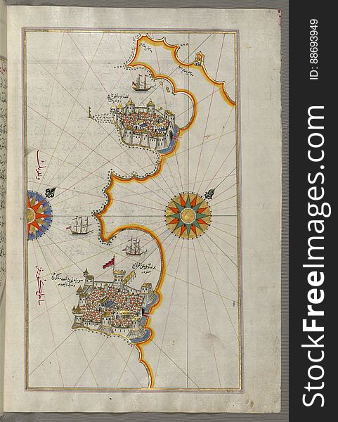
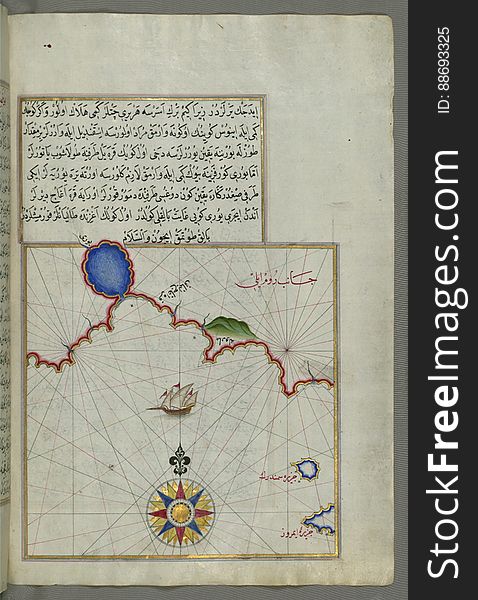
Illuminated Manuscript Map of the Bay of Salonica (Selānīk,Thessalonici) and the western coastline, from Book on Navig
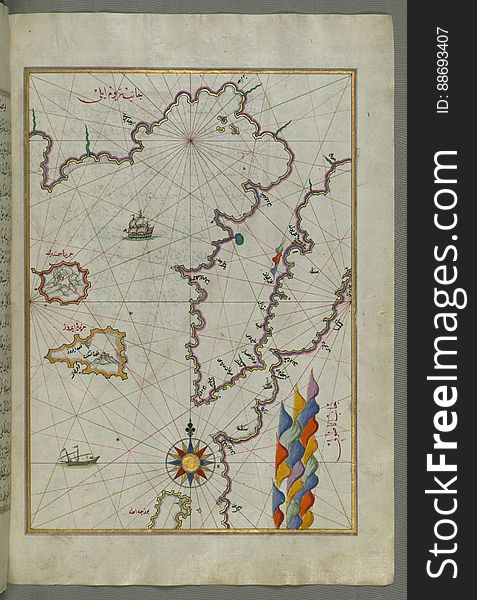
Illuminated Manuscript Map of the islands of Skyros (İskire) and Euboea (Evvoia, Aghrībūz, Eğriboz), from
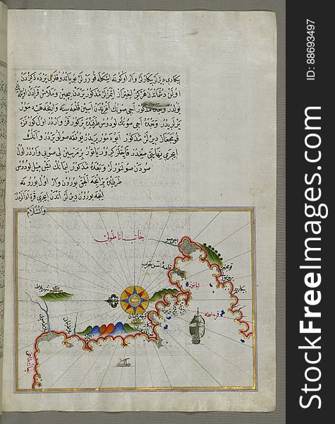
Anatolian coast and the small Kara (Qarah) island east of the town of Balat from Book on Navigation, Walters Art Museum
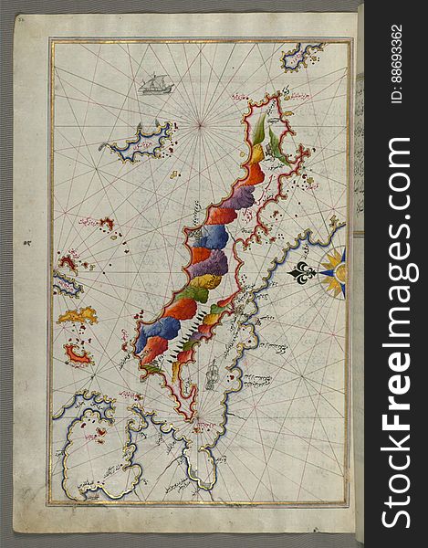
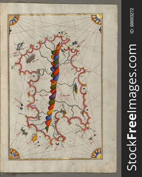
Illuminated Manuscript Map of Sardina from Book of Navigation, Walters Art Museum, Ms. W.658, fol. 226b
Illuminated Manuscript, Map of the coastline from Poreč (Parenzo, Brānse) as far as Novi Grad (Croatia) from
Illuminated Manuscript, Map of the town of Bari and the surrounding area from Book on Navigation, Walters Art Museum Ms. W.658, fo
Illuminated Manuscript Map of The island of Bozjah (Tenedos) off the coast of Anatolia, from Book on Navigation, Walters
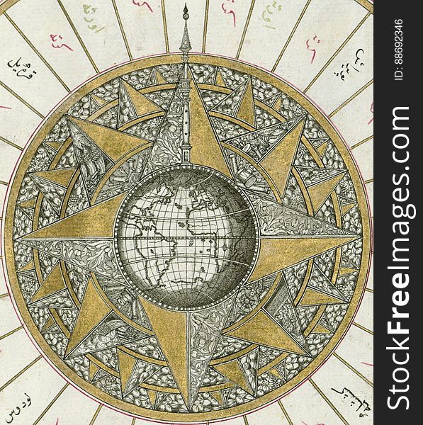
Illuminated Manuscript, Map of Western hemisphere within a windrose, from Book on Navigation, Walters Art Museum Ms. W.658, fol.24
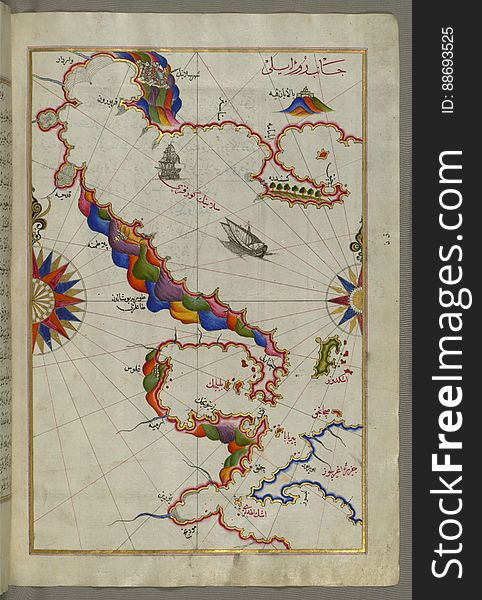
Illuminated Manuscript, Map of the Italian coastline from Rimini south towards Pesaro from Book on Navigation, Walters Art Museum
Illuminated Manuscript, Map of the Italian coastline south of Ancona including Tronto from Book on Navigation, Walters Art Museum
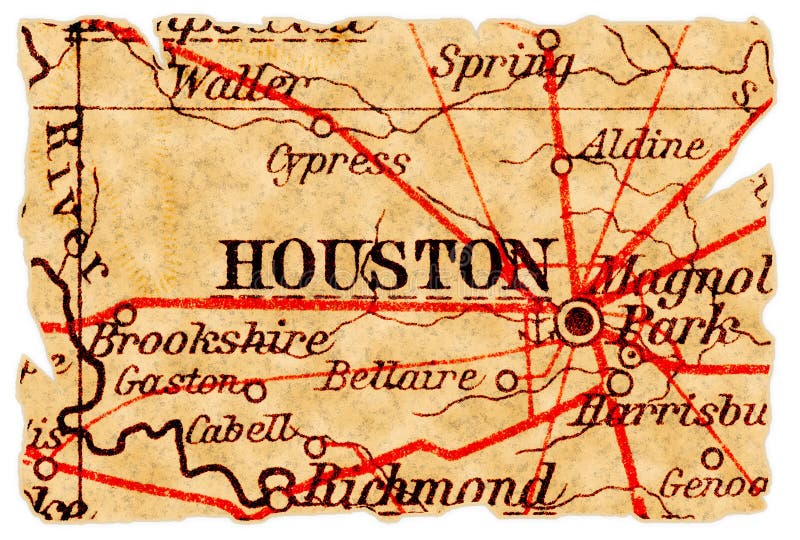
Houston old map
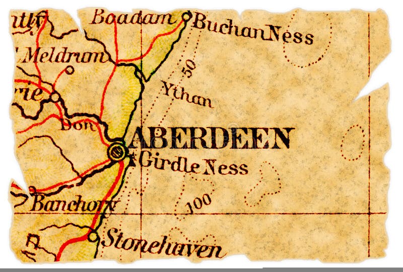
Aberdeen old map
Winebox
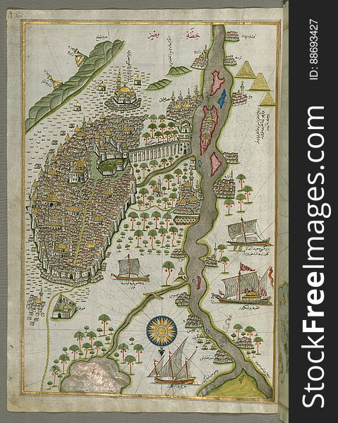
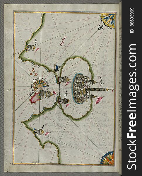
Illuminated Manuscript Map of Cairo, from Book on Navigation, Walters Ms. W.658, fol. 305b
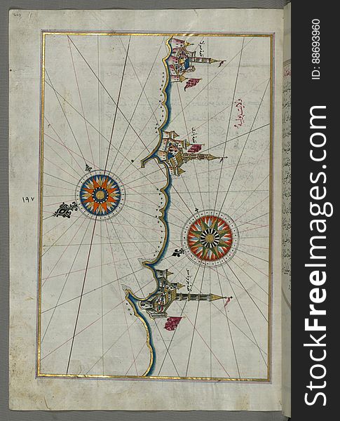
Illuminated Manuscript, The Bay of Salonica (Selānīk, Thessaloniki), from Book on Navigation, Walters Art Museum Ms. W
Illuminated Manuscript, The Islands of Corfu (Kerkira, Kūrfūz) and Paxi (Paxoi) from Book on Navigation, Wal
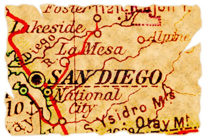
San Diego old map
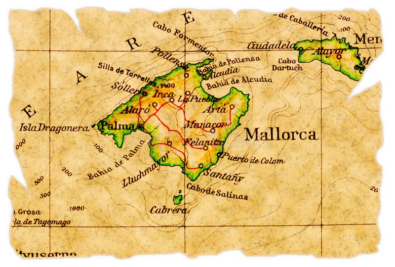
Mallorca old map
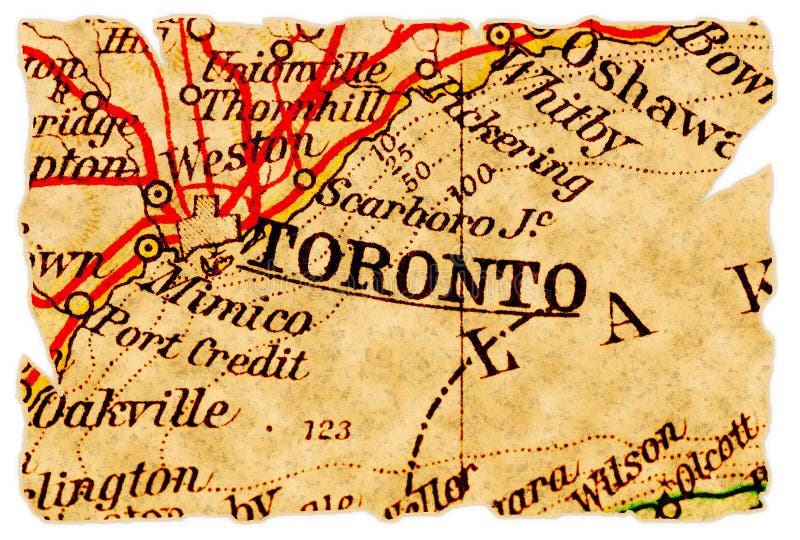
Toronto old map
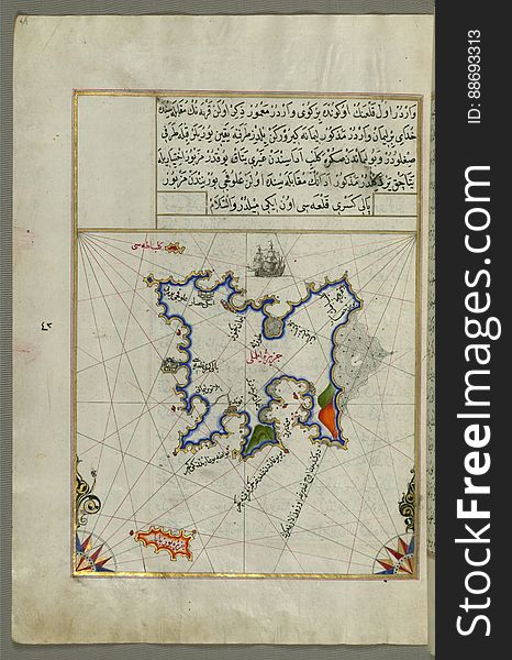
The Island of Kalimnos (Kalimaz) south of Leros in the eastern Aegean Sea from Book on Navigation, Walters Art Museum Ms
Illuminated Manuscript, Map of the Dalmatian Islands: Korčula (Qūrsūlah) and Lastovo (Augusta) off the coas
Illuminated Manuscript, Map of the coastline and the islands off Zadar (Zādare)(Croatia) from Book on Navigat
Illuminated Manuscript, Map of the coastline from Novi Grad as far as Umag (Umago, Ūmāghū) (Croatia) from B
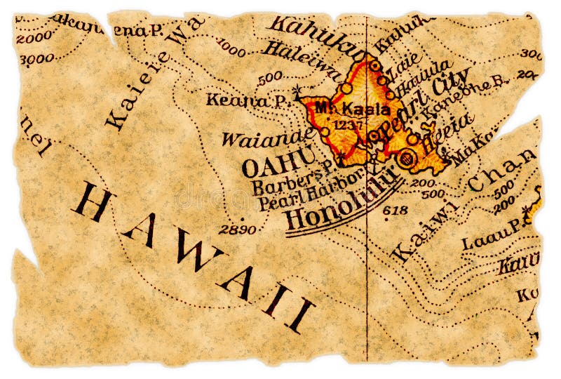
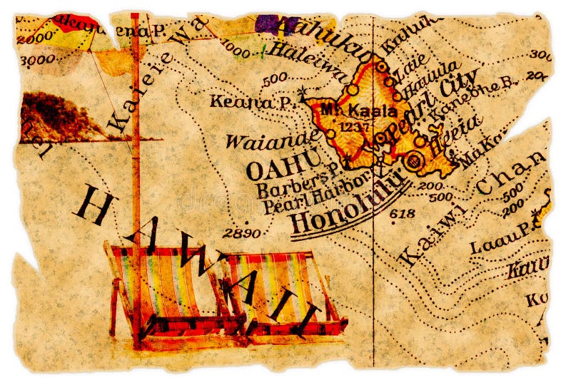
Honolulu old map
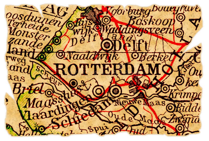
Rotterdam old map
Rhodes (Rodos, Rudūs) Island from Book on Navigation, Walters Art Museum Ms. W.658, fol. 103a
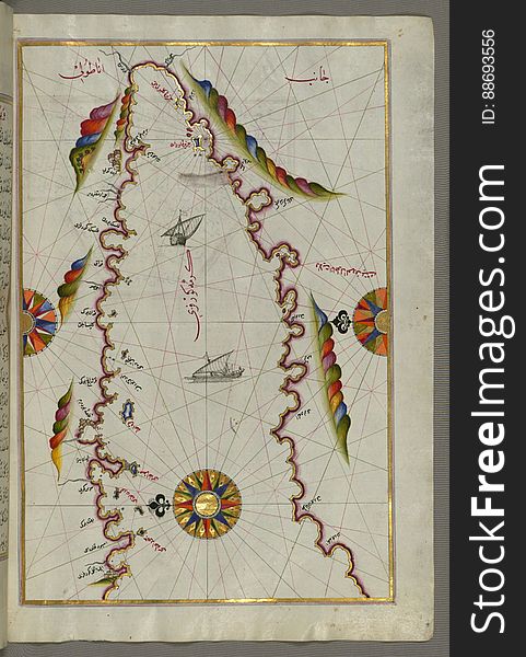
The Anatolian coast along the Kerme Bay from Book on Navigation, Walters Art Museum Ms. W.658, fol. 92a
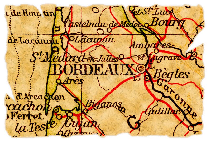
Bordeaux old map
Honolulu old map
Syme (Sömbeki) island north-west of Rhodes (Rodos) island from Book on Navigation, Walters Art Museum Ms. W.6
Istanbul old map
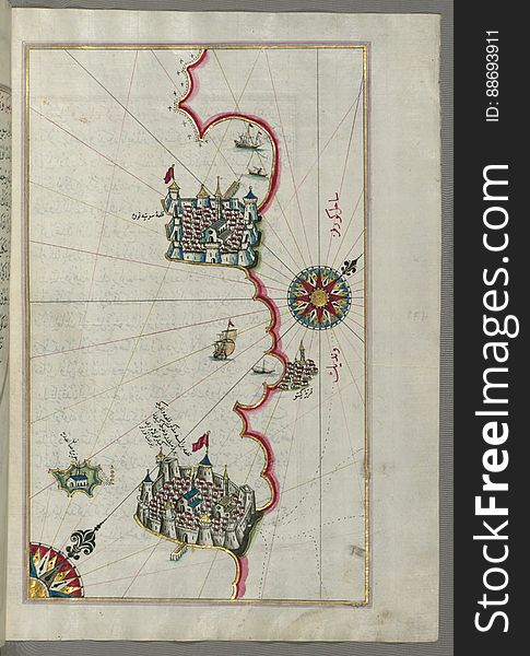
Illuminated Manuscript, Map of the port of Brindisi (Parindīs) from Book on Navigation, Walters Art Museum Ms. W.658, f
Closeup of Seamless Black Leather Texture #0015.
Illuminated Manuscript, The western coast of Greece from the island of Levcas (Lefkada, Leucas, Santa Maura) going north
The Bay of Kerme east of east of Cos (Stancho, İstanköy) island from Book on Navigation, Walters Art Museum Ms. W.658
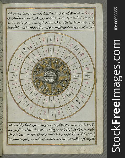
Illuminated Manuscript, Book on Navigation, Walters Art Museum Ms. W.658, Illuminated Manuscript of Three hundred and sixty Sufi q
Old american map
Tobacco pipe
Illuminated Manuscript, Map of the coastline from Marano (Mūrān) to Caorle (Qāvarlī), Province of Venice f
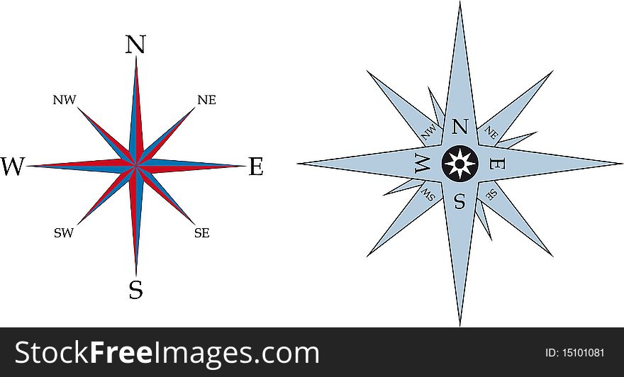
Compass
Illuminated Manuscript Map of part of the European coastline with the islands of Semendrek (Samothraki) and Imroz (
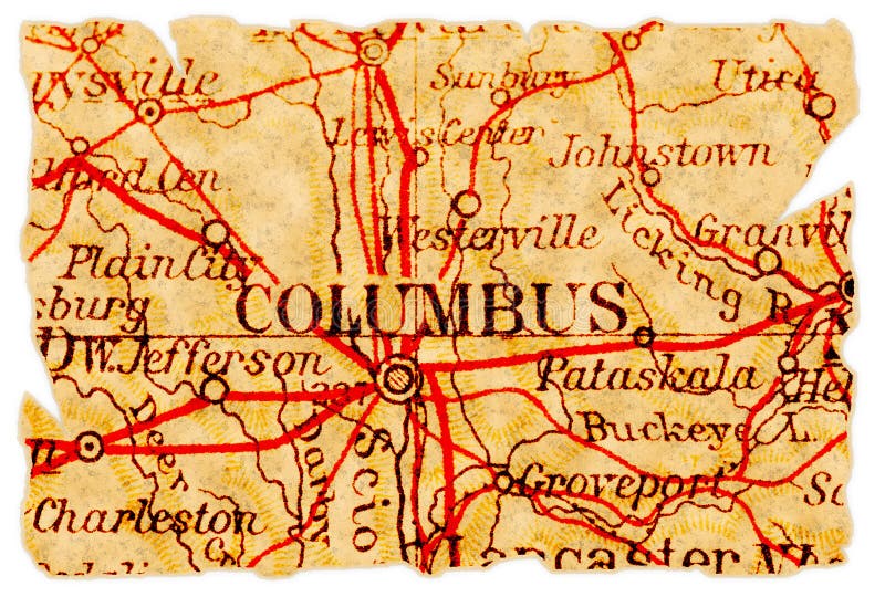
Columbus old map
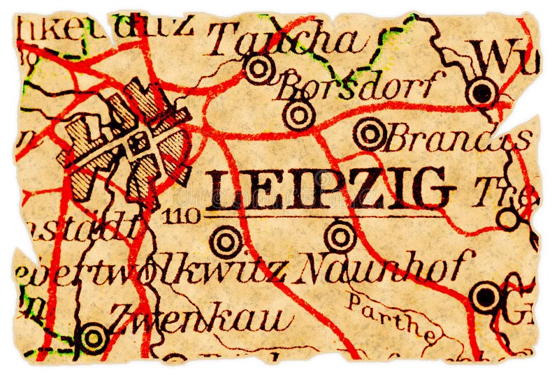
Leipzig old map
Illuminated Manuscript, Map of Western hemisphere within a windrose, from Book on Navigation, Walters Art Museum Ms. W.658, fol.24
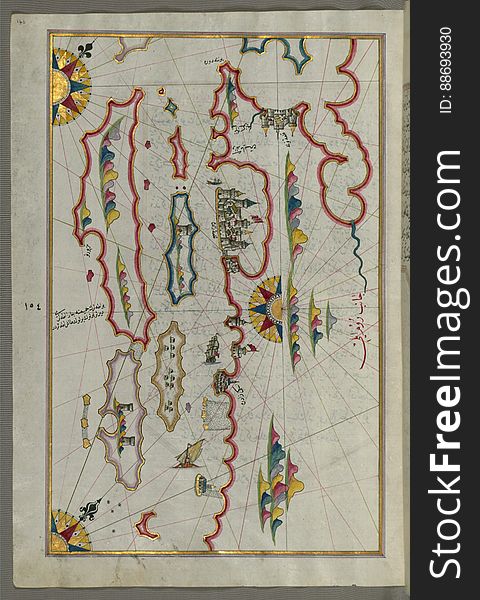
Illuminated Manuscript Map of the area west of the island of Thasos (Taşöz) and the Ayion Oros Peninsula, from Book on
Next page
4
/ 10
Home
Search for Maps old free images