Browse categories
Log in
Sign up
Bays Free Stock Images
Safe search
Include:
RF-LL
Public Domain
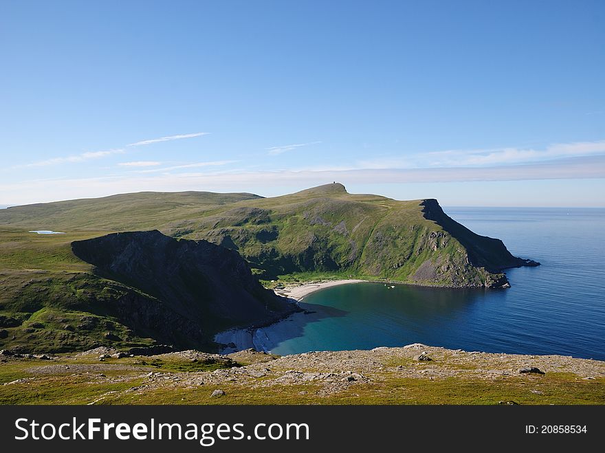
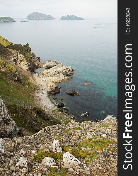
Green hills and sand beach of summer Soroya.
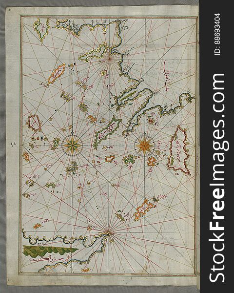
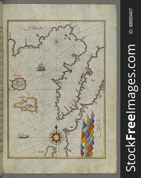
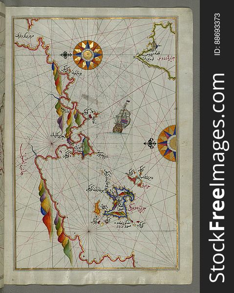
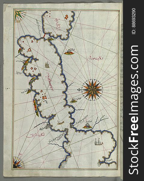
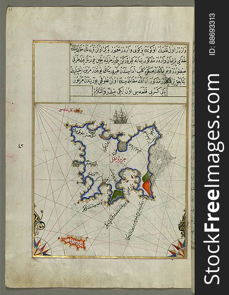
Illuminated Manuscript map of the islands of the Aegean Sea including Chios (Sakiz), Cos (Stancho, İstanköy)
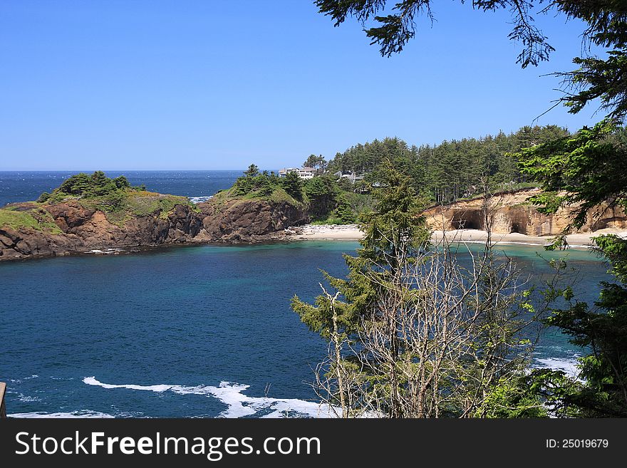
Military Bunkers on Oregon Beach
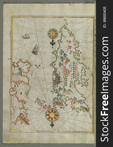
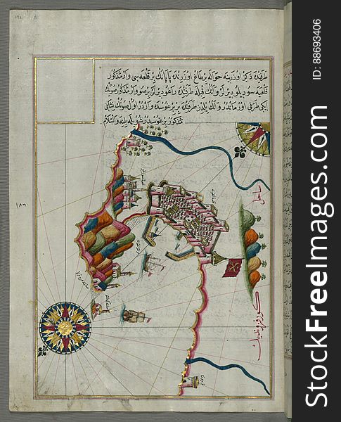
Detailed map of Chios (Sakiz, á¹¢Äqiz) Island with its fortress and other topographical features, from Book on Navigati
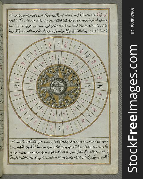
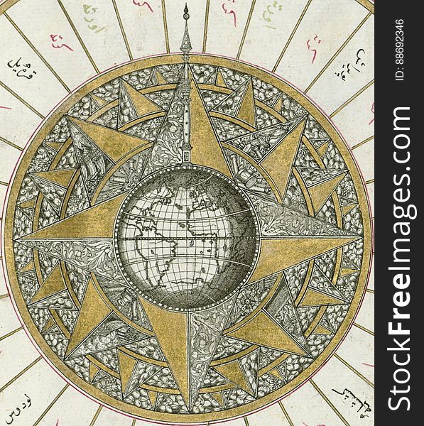
Illuminated Manuscript, Map of Western hemisphere within a windrose, from Book on Navigation, Walters Art Museum Ms. W.658, fol.24
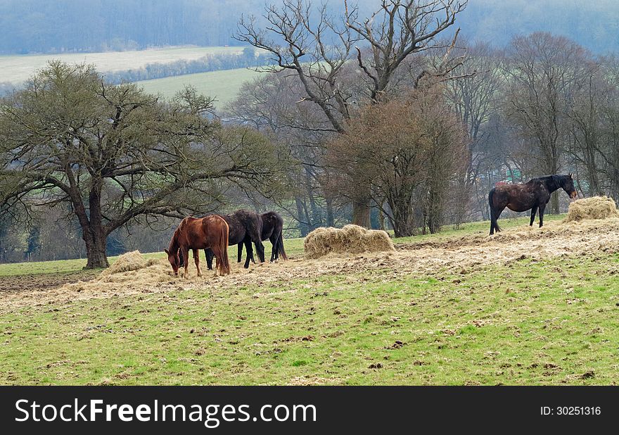
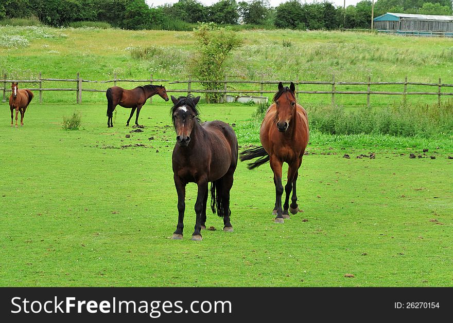
Horses Grazing in Rural England
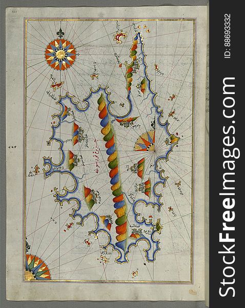
Illuminated Manuscript Map of the islands of Skyros (İskire) and Euboea (Evvoia, Aghrībūz, Eğriboz), from
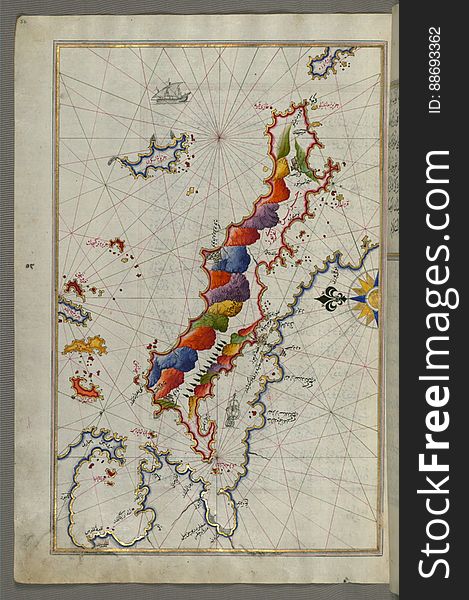
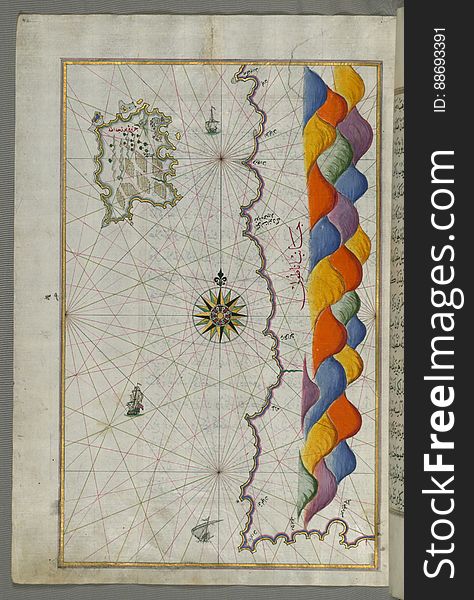
Illuminated Manuscript Map of Sardina from Book of Navigation, Walters Art Museum, Ms. W.658, fol. 226b
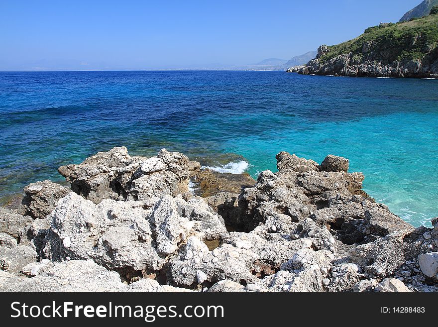
Rock and sea Zingaro Sicily Italy
Illuminated Manuscript Map of The Islands of Semendrek (Samothraki) and Imroz (Imbros) in the Aegean Sea, from
Rocky Inlets
Rock and sea Zingaro Sicily Italy
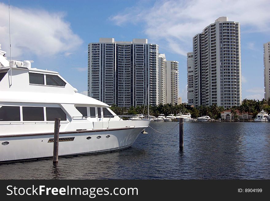
North Miami Beach Marina
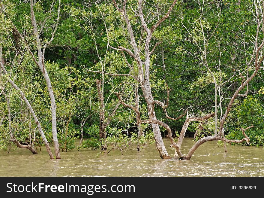
Seaside tree at the bay
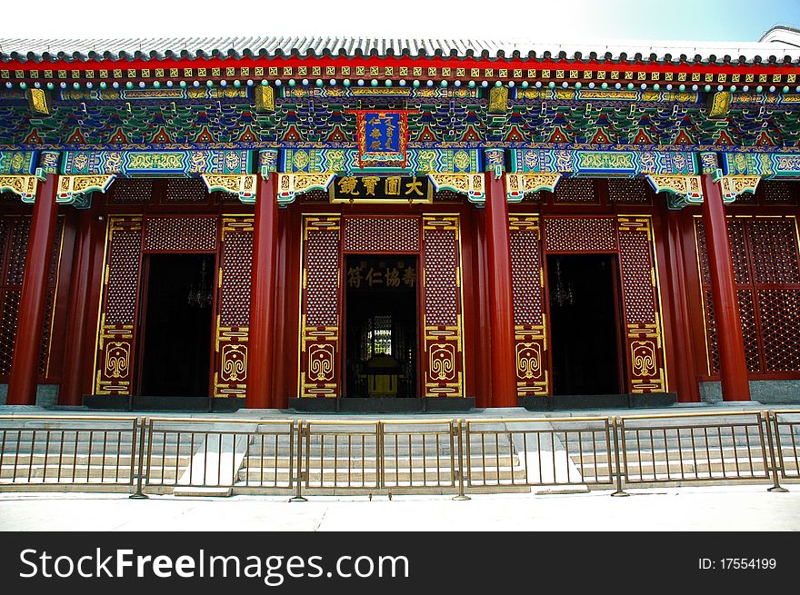
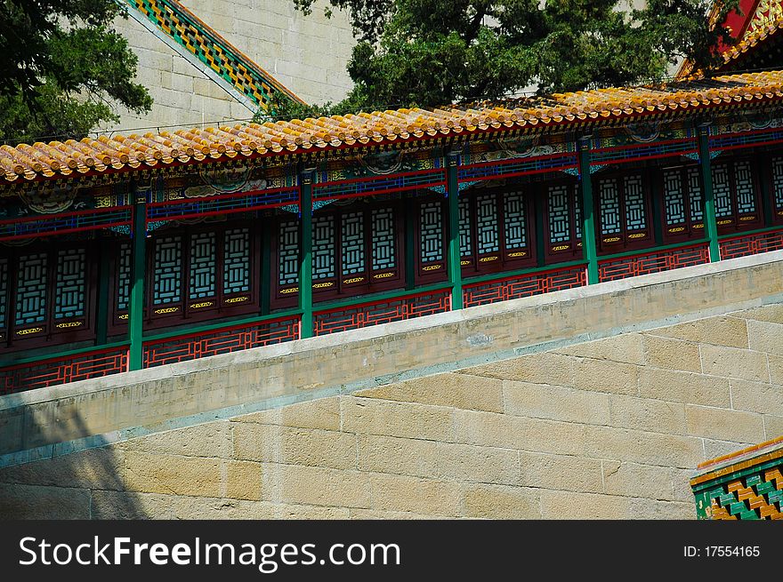
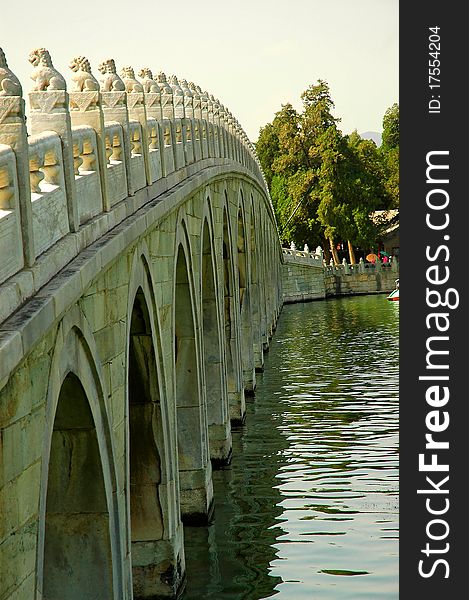
Summer palace yiheyuan
Bay Horses Grazing in Rural England
Stony littoral of summer Soroya from above.
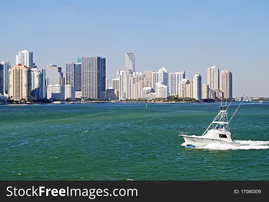
Condos and Sport Fishingboat on Biscayne Bay
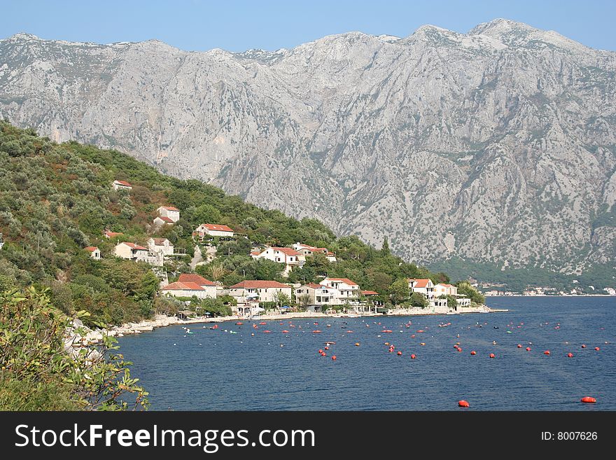
Boka-kotor bay, Montenegro
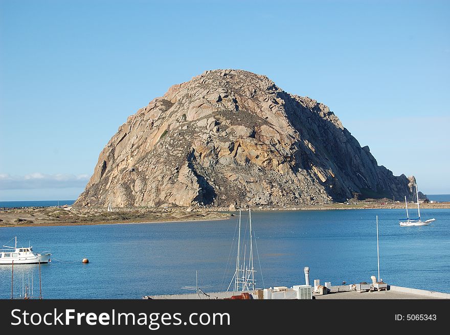
Morro Rock
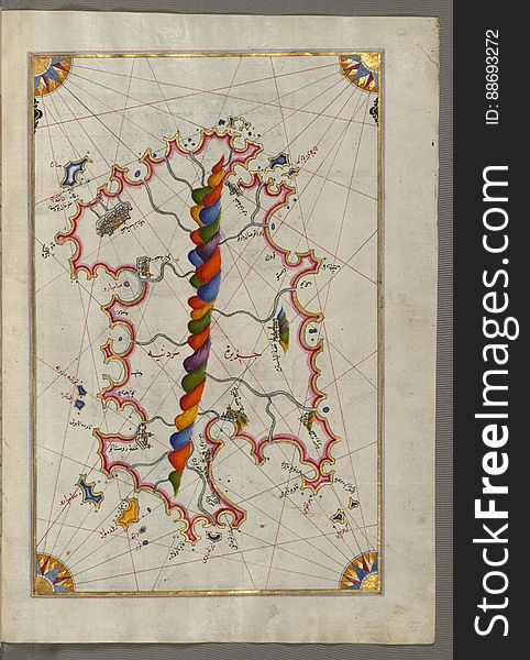
Illuminated manuscript Map of Corsica, from Book on Navigation, Walters Art Museum Ms. 658, fol. 229a
Illuminated Manuscript Map of the Islands of the Adriatic Coast from Book on Navigation, Walters Art Museum Ms. W.658, fol. 208a
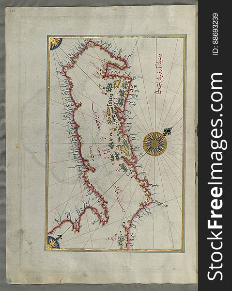
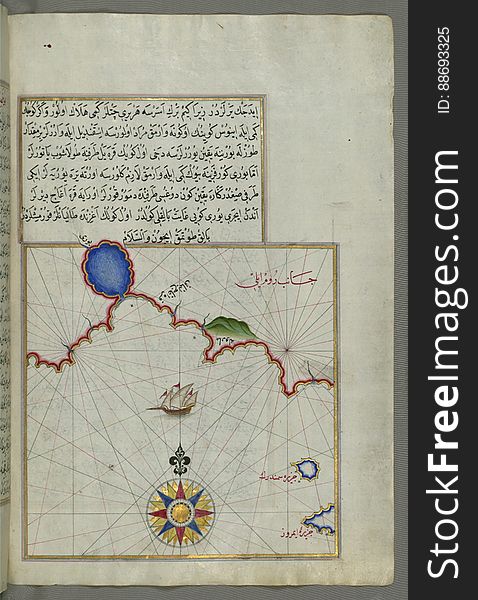
The coastline of the western Aegean Sea as far south as the Island of Euboea (Evvoia, Aghrībūz, Eğriboz), from Book o
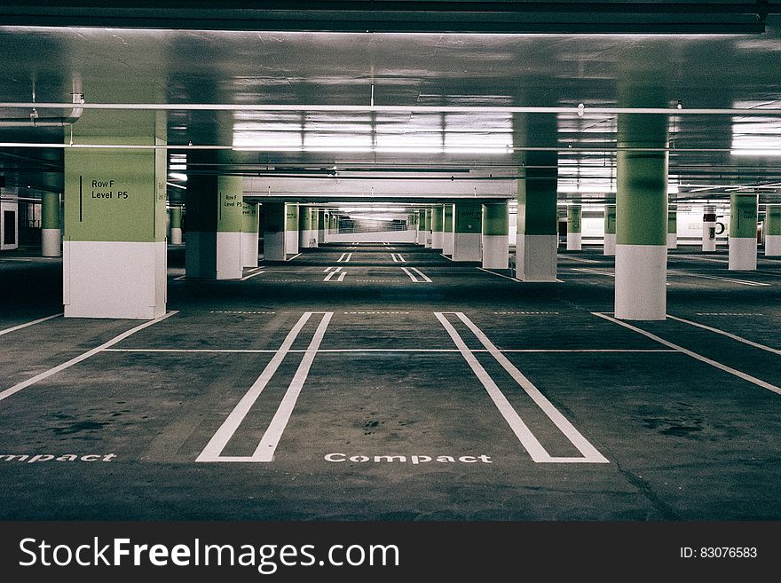
Modern multi-story car park
Illuminated manuscript Map of the Fortress of Ancona, from Book on navigation, Walters Art Museum ms. W.658, fol. 192a
A Decorative Design or Pattern
Illuminated Manuscript, Map of Western hemisphere within a windrose, from Book on Navigation, Walters Art Museum Ms. W.658, fol.24
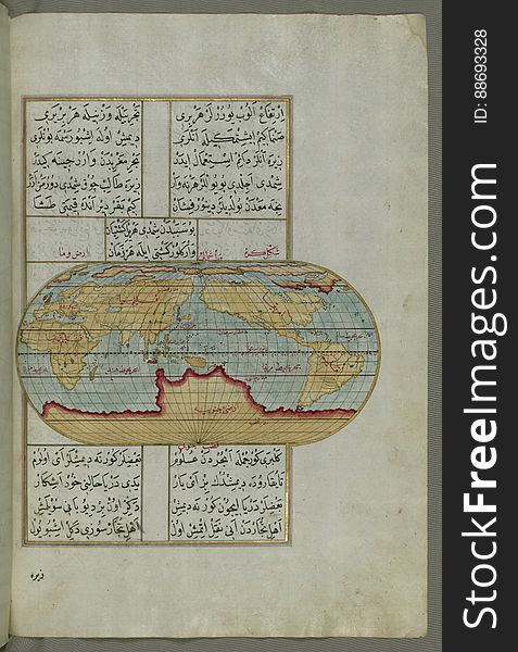
Illuminated Manuscript, Oval Map of the World, from Book on Navigation, Walters Art Museum Ms. W.658, fol.23b
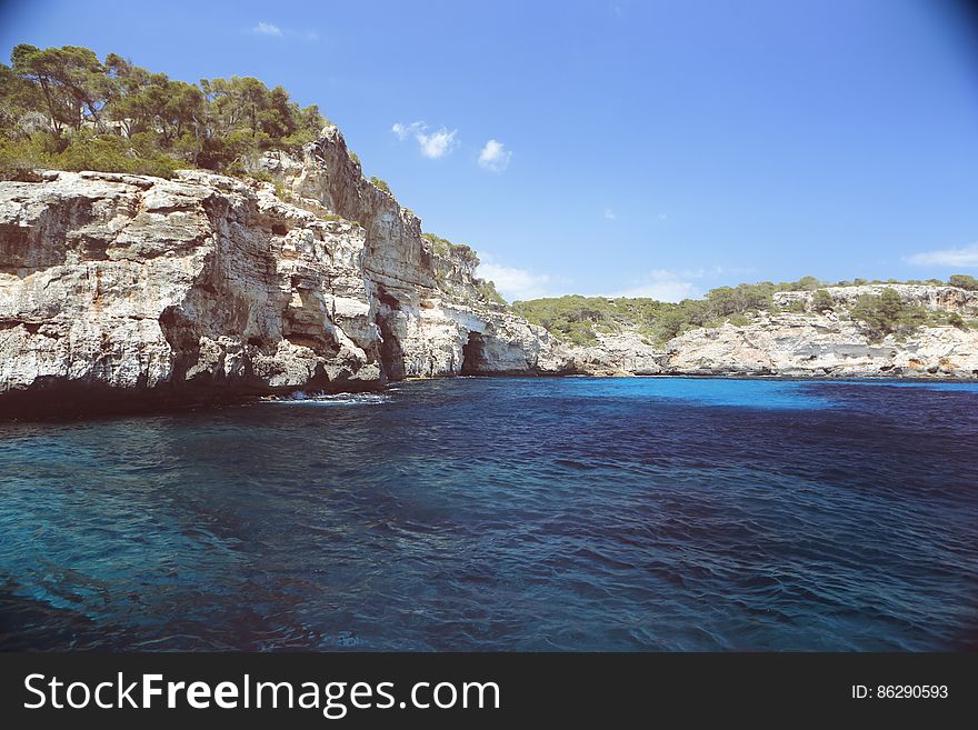
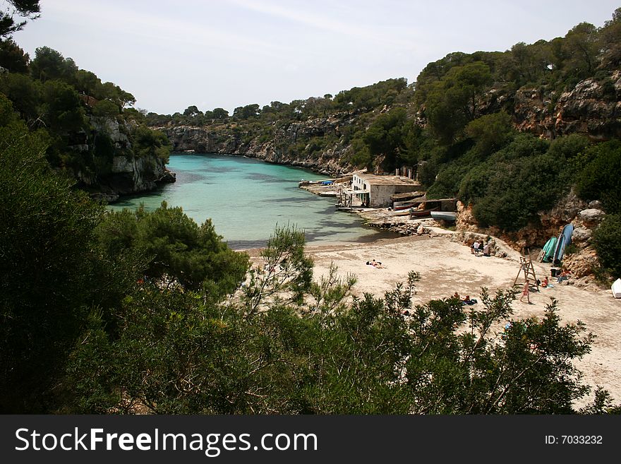
Cala Pi, Majorca, Spain
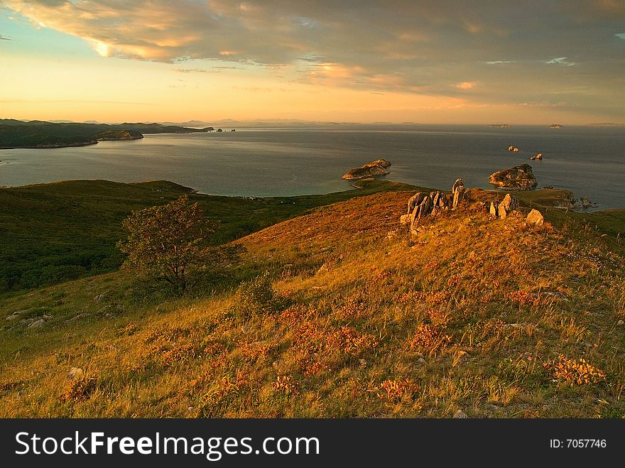
Last evening of September
Several pieces of fresh pork on the cutting board
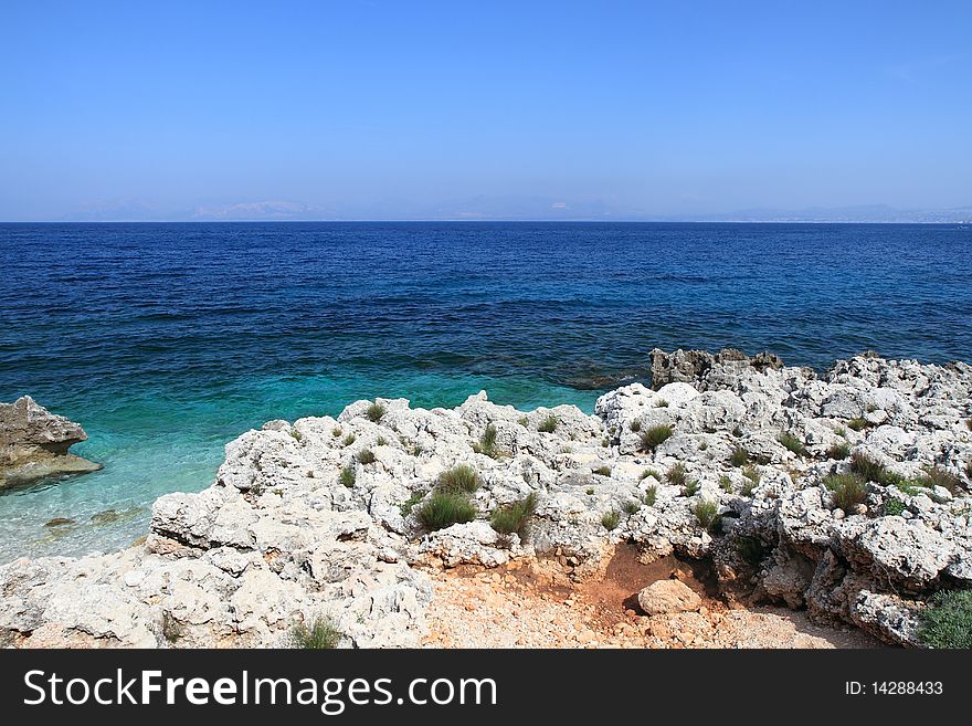
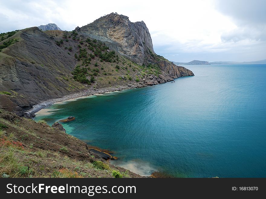
The Crimean seascape with cape
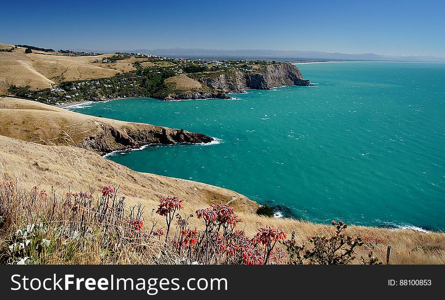
Banks Peninsular Canterbury NZ
Illuminated Manuscript map of the northeastern tip of Rhodes (Rodos, Rūdūs) Island facing the Anatolian coast with the
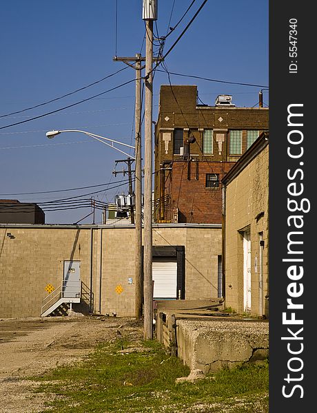
Backdoor Industries
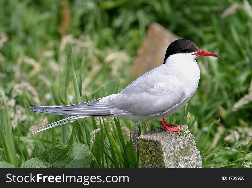
Arctic Tern Chick (Sterna paradisea)
Illuminated Manuscript Map of The island of Bozjah (Tenedos) off the coast of Anatolia, from Book on Navigation, Walters
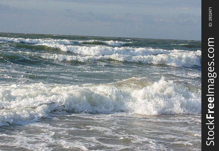
Shtorm, Azov sea coast
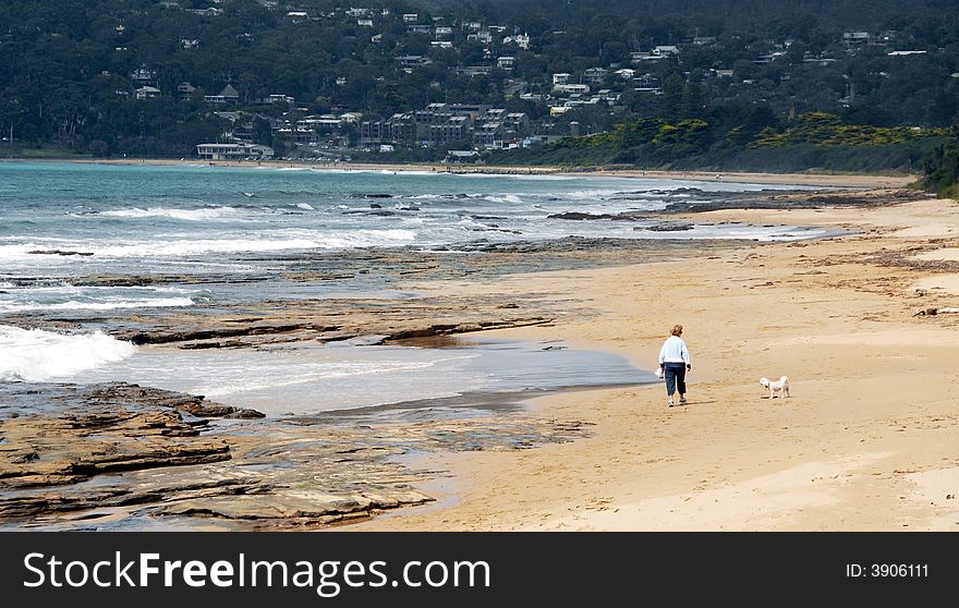
Women walking on beach
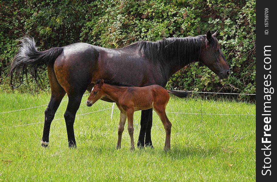
Bay Horse with her Foal
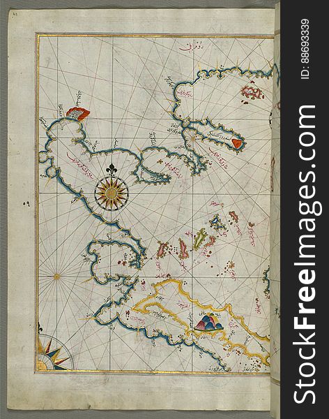
Illuminated Manuscript Map of Saronikos (Aiyina) Bay, from Book on Navigation, Walters Art Museum Ms. W.658, fol. 133a
Summer palace yiheyuan
Illuminated Manuscript Map of the island of Lemnos, from Book on Navigation, Walters Art Museum Ms. W.658, fol.47a
Arctic Tern (sterna paradisea)
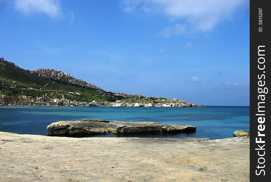
Gnejna Bay In Malta
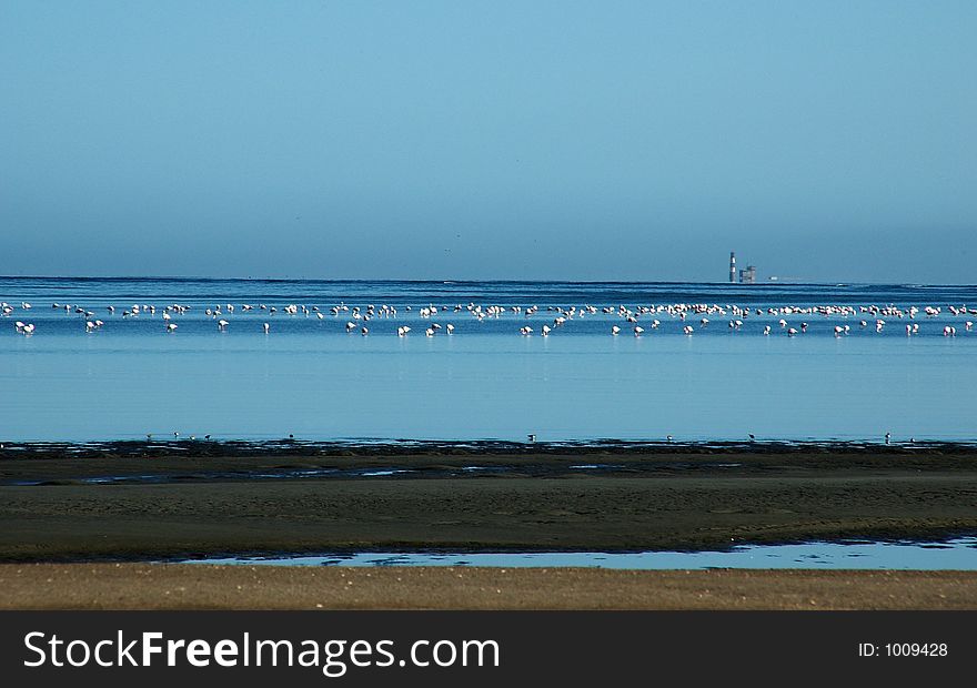
Flock of flamingos in tidelands
Sea-gull's glanse, Sevastopol
Illuminated Manuscript Map of part of the European coastline with the islands of Semendrek (Samothraki) and Imroz (
Next page
3
/ 9
Home
Search for Bays free images