You can use this free image under the Creative Commons Zero (CC0) public domain license. Support our free section by adding a credit line next to the photo in your design. A suggestion is provided under the title.
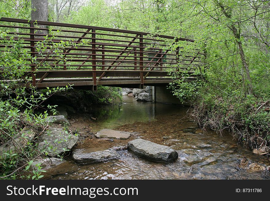
USGS Streamgage at Soper Branch Creek
A view from Soper Branch creek with a USGS streamgage on the other side of the bridge. Soper Branch is a small stream near Hyattstown, MD, that is part of the Chesapeake Bay watershed. For more than 125 years, starting with the establishment of the first streamgage in Embudo, N.M., on Jan. 1, 1889, the USGS has monitored flow in selected streams and rivers across the United States. The information is routinely used for water supply and management, monitoring floods and droughts, bridge and road design, determination of flood risk and for many recreational activities. The USGS currently operates 4,461 stations with more than 30 years of record, and 8,024 gages comprise the U.S. streamgage network today. Photo credit: Dianna Hogan, USGS
© publicdomainstockphotos | Stock Free Images