Browse categories
Log in
Sign up
Navigation Black Sea Free Stock Images
Safe search
Include:
RF-LL
Public Domain
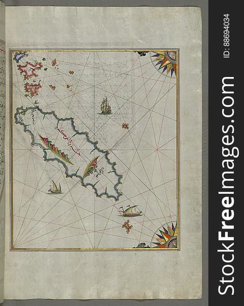
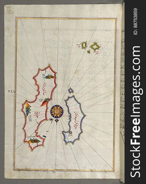
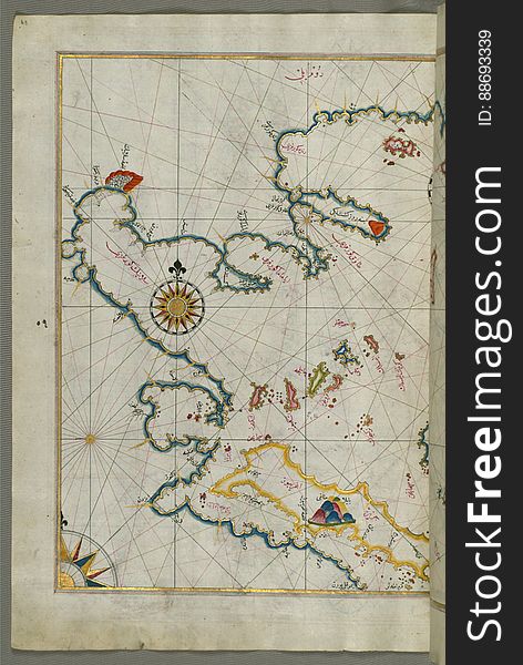
Illuminated Manuscript, Map of the islands Foleġandros and Melos (Deġirmenlik) from Book on Navigation, Walters Art Mu
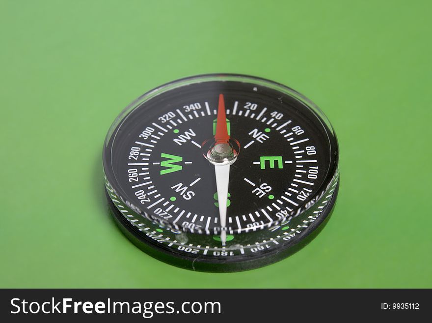
Compass on green
Illuminated Manuscript islands of Ikaria (Ahikere) and Samos (ṢūṣÄm) in the eastern Aegean Sea, from Boo
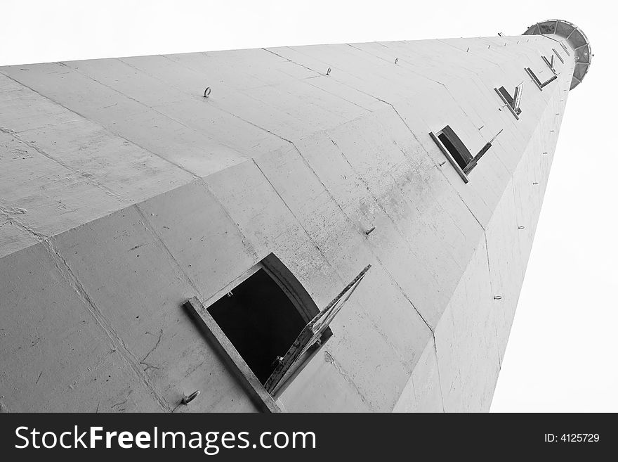
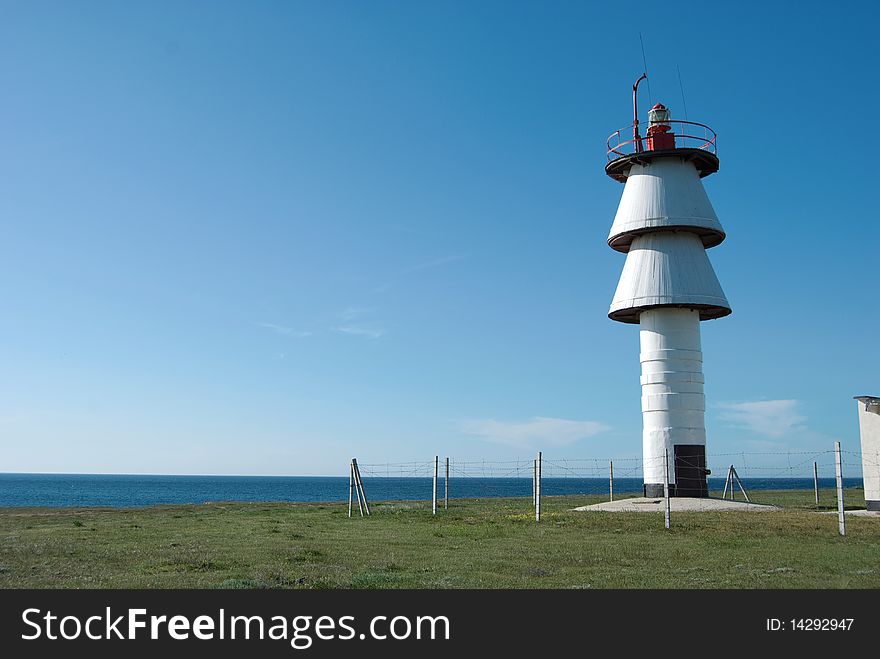
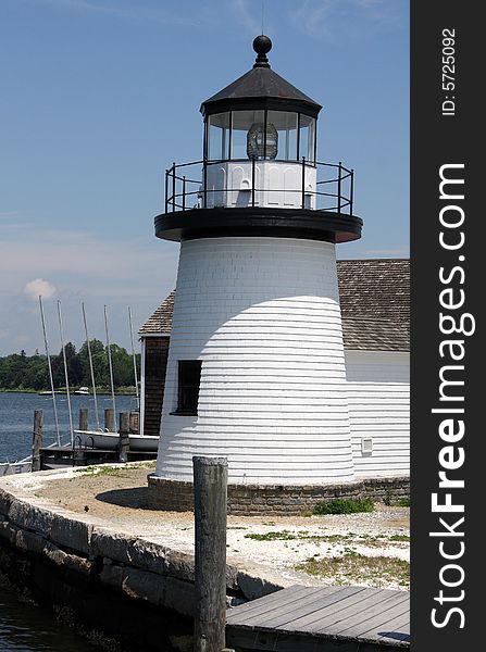
Lighthouse vertical format
Ponce Inlet Lighthouse
Lighthouse
Lighthouse Landscape
Navy epaulets
Lighthouse Platform
Lighthouse
Illuminated Manuscript Island of Ikaria (Ahikere) in the eastern Aegean sea west of Samos (ṢūṣÄm), from
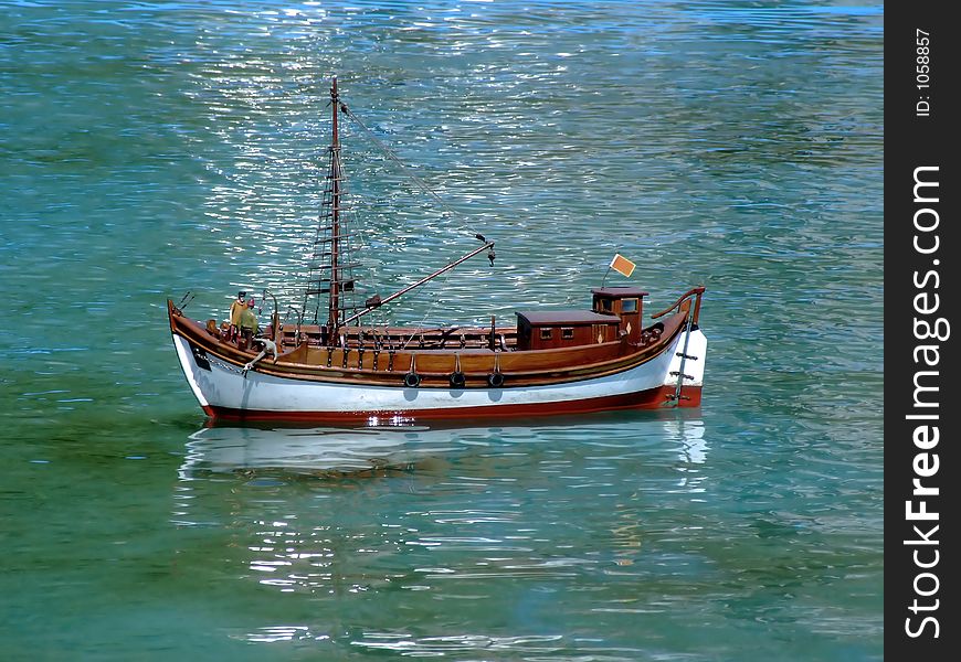
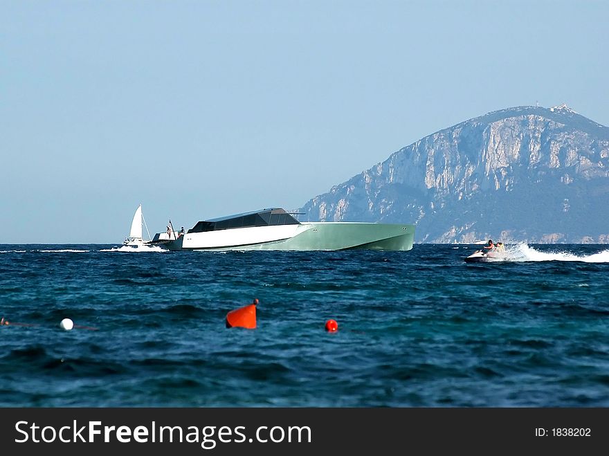
Fisherman boat
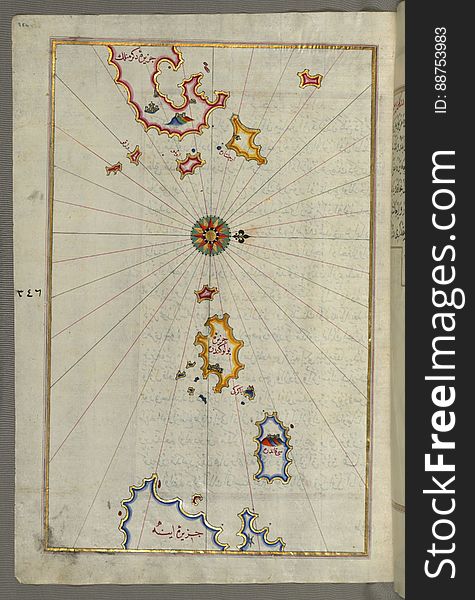
Illuminated Manuscript, Upper Aegean Sea with the islands of Imbros (Imroz, Gökçeada) and Bozca (Tenedos), f
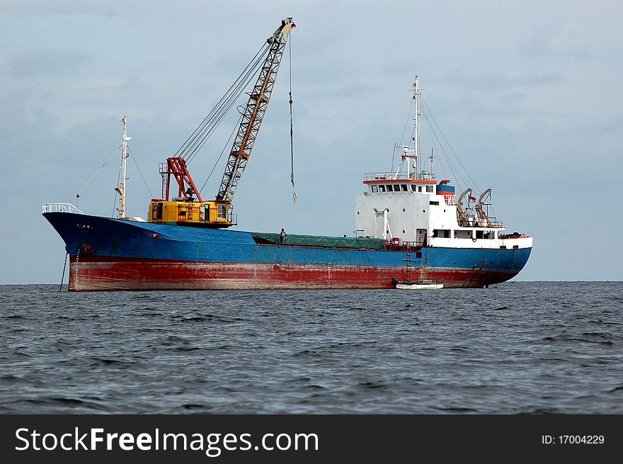
Tanker ship
Globe
Lighthouse diagonal composition
Illuminated Manuscript Map of The Islands of Semendrek (Samothraki) and Imroz (Imbros) in the Aegean Sea, from
Compass
Lighthouse
Ship
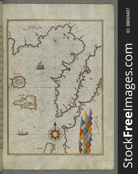
Illuminated Manuscript, Map of unidentified islands off the southern Anatolian coast from Book on Navigation, Walters Art Museum
Point Area Lighthouse
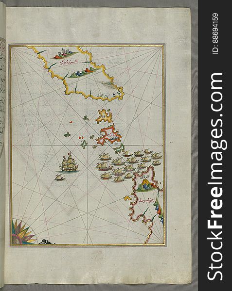
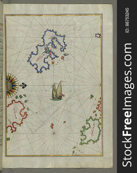
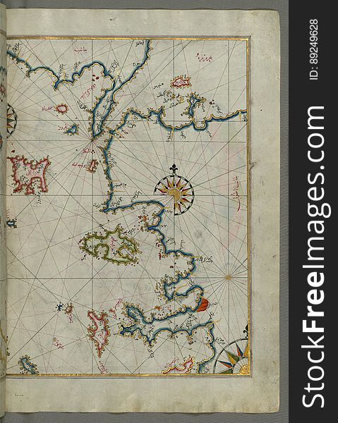
Several islands of the eastern Aegean Sea including: Leros (LÄ«rÅ«s) and Patmos (BÄá¹nÅ«z) from Book on Navi
Illuminated Manuscript, Map of the island of Mīr ʿAlī from Book on Navigation, Walters Art Museum Ms. W.658, fol.369b
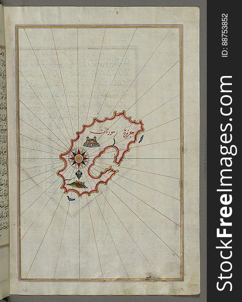
Illuminated Manuscript, Map of Keos (Kea, Murtat, Mürted) island from Book on Navigation, Walters Art Museum Ms. W.658
The island of Patmos (BÄá¹nÅ«z) south-east of Ikaria (Ahikere) in the eastern Aegean Sea from Book on Naviga
A sailboat in the black sea
Wind rose
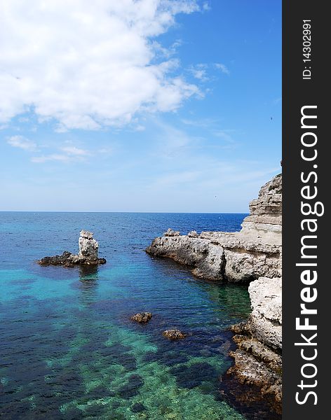
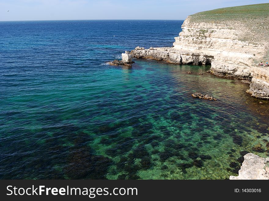
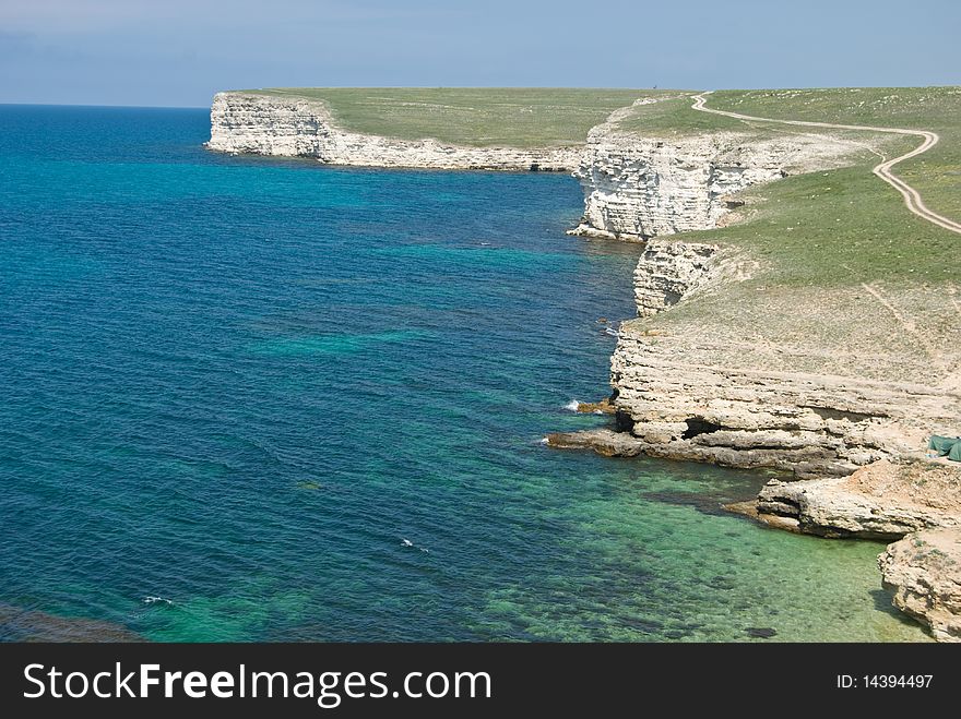
The Black sea rocky coastline
The Black sea rocky coastline
Lighthouse low angle
Illuminated Manuscript, Map of two islands: Santorini (á¹¢ÄntÅ«rÅ«n) and Thera (Thira) in the Aegean Sea, nor
Lighthouse
Lighthouse
Cliffs in the Black sea
The coastline of the western Aegean Sea as far south as the Island of Euboea (Evvoia, Aghrībūz, Eğriboz), from Book o
Illuminated Manuscript, Map of part of the coastline of the Sea of Marmara, with the town of Kavak (QavÄq) from Book on
Nice cruise
Sunset. sailing vessel
Illuminated Manuscript map of the islands of the Aegean Sea including Chios (Sakiz), Cos (Stancho, İstanköy)
Compass
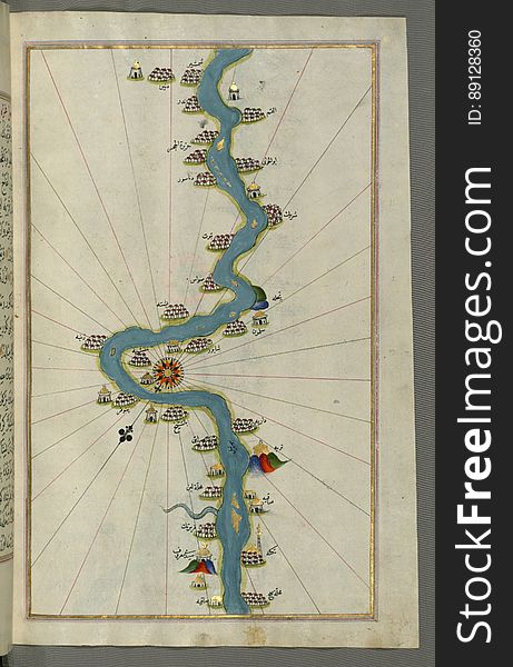
Illuminated Manuscript, Map of the Nile River with various oases on each as far as Sīdī Maʿrūf from Book on Navigation, Walte
Toy cargo ship
The Black sea rocky coastline
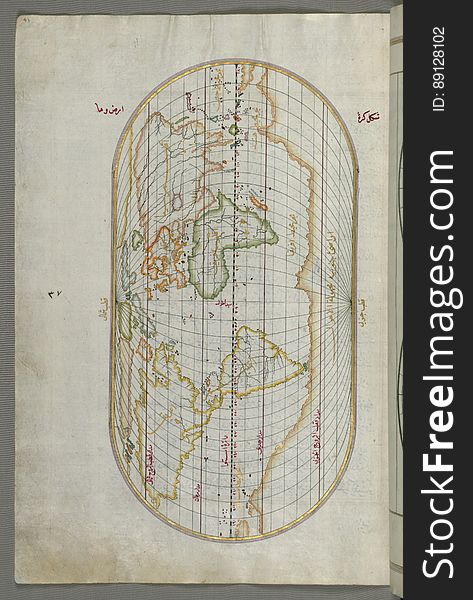
Illuminated Manuscript Map of the World from Book on Navigation, Walters Art Museum Ms. W.658, fol. 41a
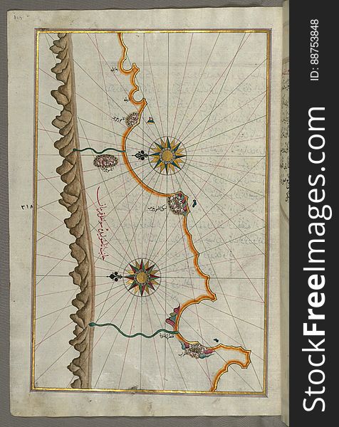
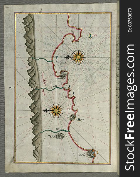
Illuminated Manuscript, Map of the Anatolian coast around Anamur (Turkey) from Book on Navigation, Walters Art Museum Ms
Illuminated Manuscript, Map of the Anatolian coast from Silfke to Anamur from Book on Navigation, Walters Art Museum Ms. W.658, fo
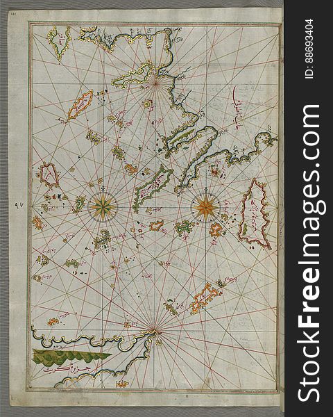
The sea of Marmara and the islands of the eastern Aegean Sea from Semendrek (Samothraki) as far as Chios (Sakiz, á¹
Next page
4
/ 7
Home
Search for Navigation black sea free images