Browse categories
Log in
Sign up
Navigation Black Sea Free Stock Images
Safe search
Include:
RF-LL
Public Domain
Illuminated Manuscript, Map of the Moroccan coast from the city of Tetouan (TitwÄn) west from Book on Navigation, Walte
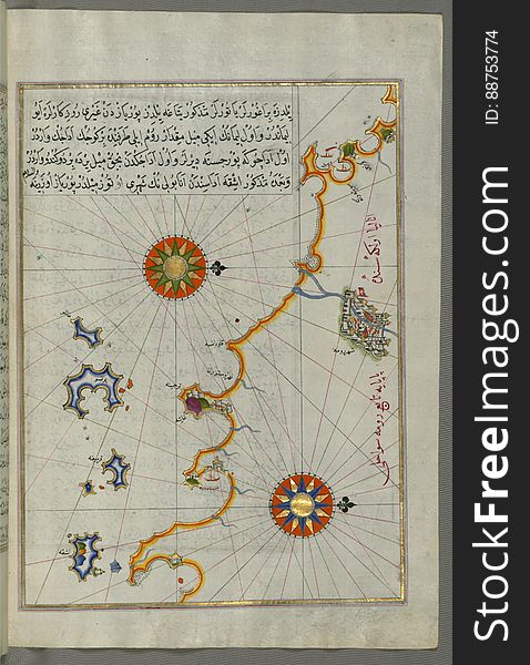
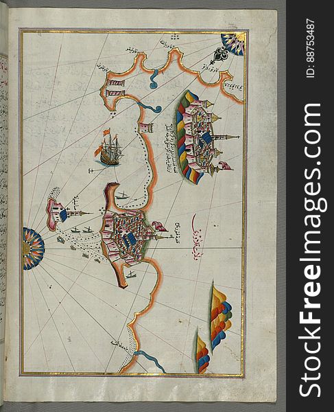
Illuminated Manuscript from Book on Navigation, Walters Art Museum Ms. W.658, fol.68a
Illuminated Manuscript, Map of the island of Krk (Veglia, Vake Venedīk) (Croatia) from Book on Navigation, Wa
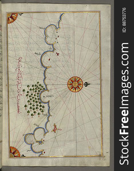
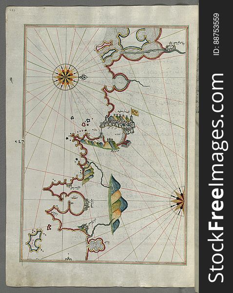
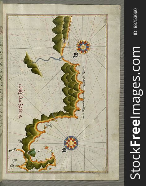
Illuminated Manuscript, Map of the Anatolian coast with the city of Silifke from Book on Navigation, Walters Art Museum Ms. W.658
Illuminated Manuscript, Map of the Algerian coast around Mostaganem (MustaghÄnÄ«m) from Book on Navigation, Walters Art
Illuminated Manuscript, Map of the western Italian coast as far as the city of Rome (RÅ«mah) from Book on Navigation, Wa
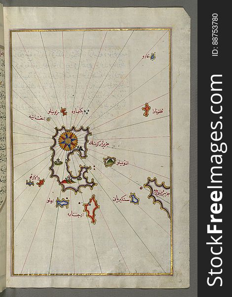
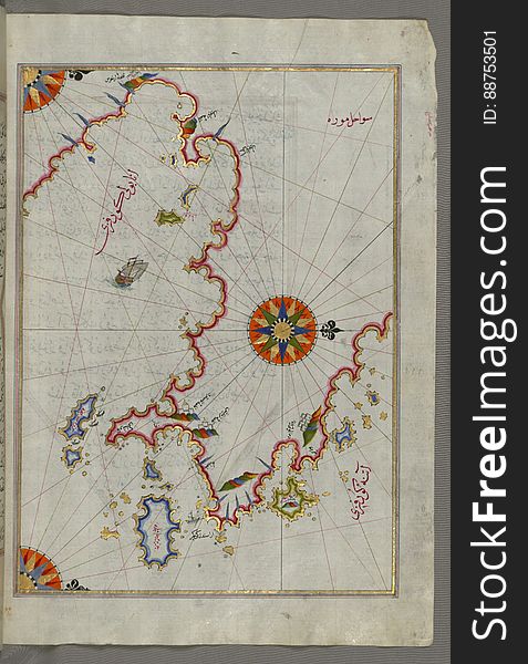
Illuminated Manuscript, Map of the Aloneses (Čamlığa) from Book on Navigation, Walters Art Museum Ms. W.658, fol.364b
Illuminated Manuscript, Map of the coast north of the Medulin fortress (Croatia) from Book on Navigation, Walters Art Mu
Illuminated Manuscript, Map of the Libyan coast as far as Salūm (Egypt) from Book on Navigation, Walters Art Museum Ms.
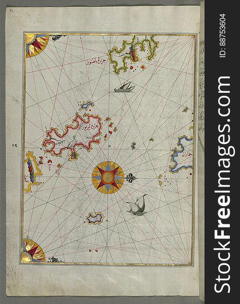
Illuminated Manuscript, Map of the Islands of Karpathos (Kerpe) and Kasos (CÅ«bÄn) from Book on Navigation, W
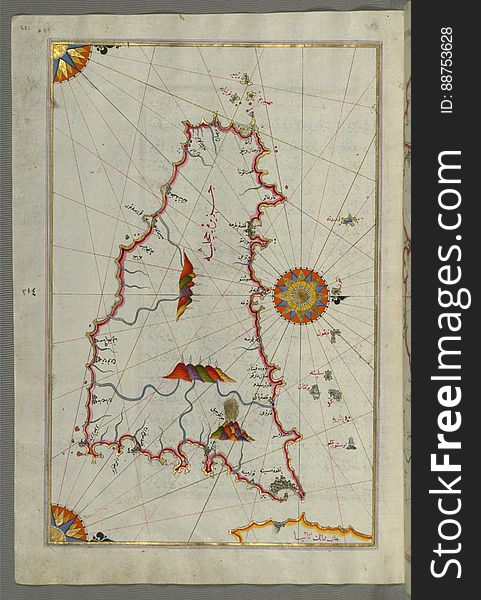
Illuminated Manuscript, Map of the eastern coast of Calabria with the towns of Crotone and Catanzaro from Book on Navigation, Walt
Illuminated Manuscript, Map of the islands Foleġandros and Ios (İnyos, İnye) from Book on Navigation, Walters Art Mus
Illuminated Manuscript, Map of the Egyptian coast from Salūm east from Book on Navigation, Walters Art Museum Ms. W.658, fol.297b
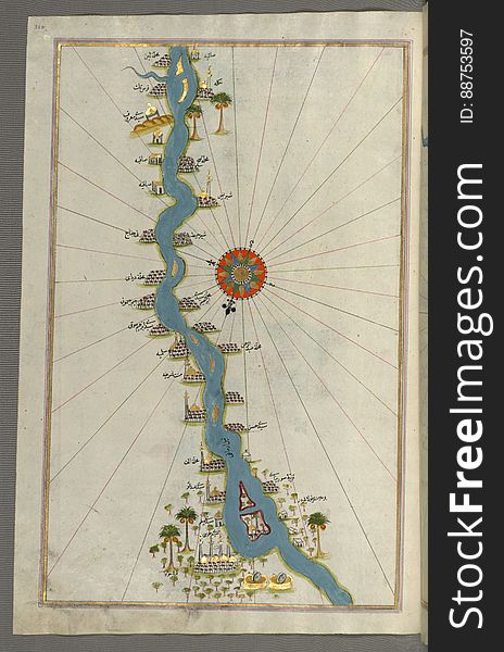
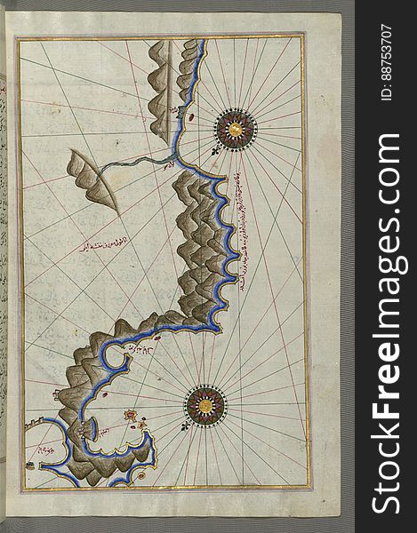
Illuminated Manuscript, Map of oases and villages along the river Nile as far as Sīdī Mūsá from Book on Navigation, Walters Ar
Illuminated Manuscript, Map of two islands off Majorca: Ibiza (YÅ«se) and Formentera from Book on Navigation, Walters Ar
Illuminated Manuscript The island of Naxos (Naḳşe) in the southeastern Aegean Sea, from Book on Navigation, Walters
Illuminated Manuscript, Map of the Adriatic coastline from Dubrovnik north from Book on Navigation, Walters Art Museum Ms.W.658, f
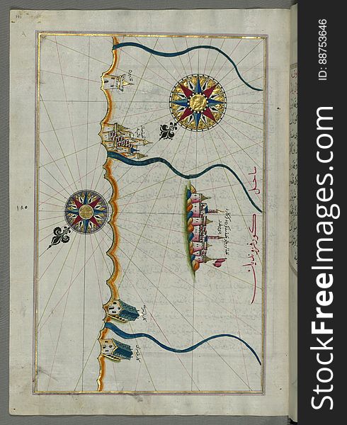
Illuminated Manuscript, Map of the Caspian Sea (Baḥr-i Khazar) from Book on Navigation, Walters Art Museum Ms. W.658
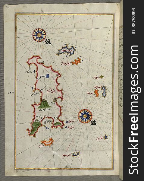
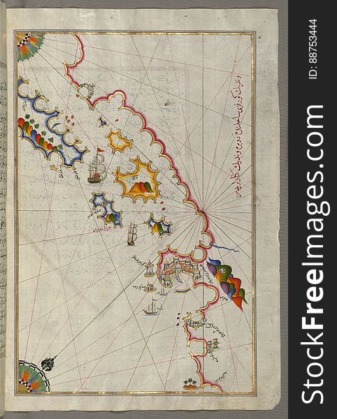
Illuminated Manuscript, Map of the Anatolian coast east of Finike from Book on Navigation, Walters Art Museum Ms. W.658, fol.336b
Illuminated Manuscript, Map of the French coast from Nice as far as Toulon from Book on Navigation, Walters Art Museum Ms. W.658
Illuminated Manuscript, Map of the Italian coast from Trani as far as Molfetta from Book on Navigation, Walters Art Museum Ms. W.6
Illuminated Manuscript, Map of the coast from Medulin as far as Pula (Croatia) from Book on Navigation, Walters Art Muse
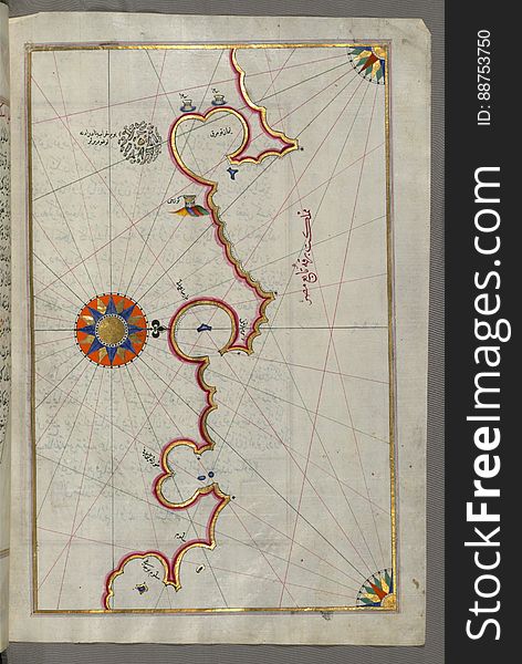
Illuminated Manuscript, Map of two small islands of the coast of Sardinia (Sardinye) from Book on Navigation, Walters Ar
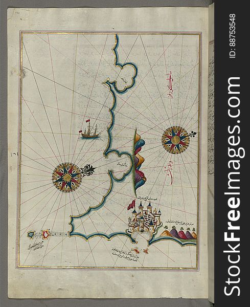
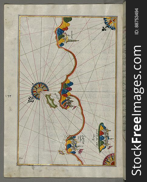
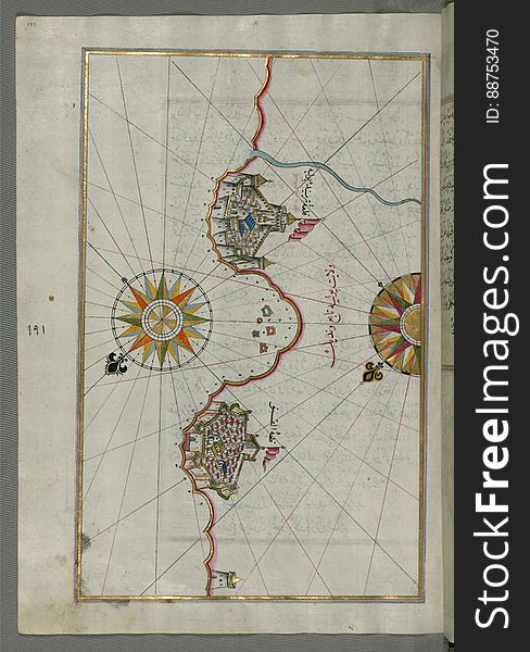
Illuminated Manuscript, Map of the town of Lanciano (LansÄne) and the surrounding fortresses from Book on Navigation, W
Illuminated Manuscript, Map of the Libyan coast as far as Benghazi from Book on Navigation, Walters Art Museum Ms. W.658, fol.293a
Illuminated Manuscript, Map of the Island of Mljet (MÄ«lede) off Dubrovnik (Croatia) from Book on Navigation
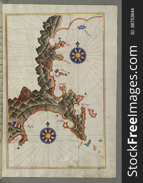
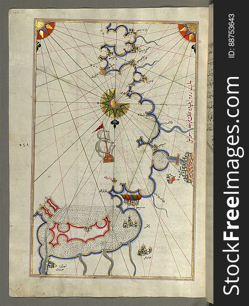
Illuminated Manuscript, Map from Book on Navigation, Walters Art Museum Ms. W.658, fol.365b
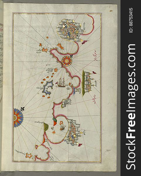
Illuminated Manuscript, Map of the Italian coast around around Peschici north of Mafredonia from Book on Navigation, Walters Art M
Illuminated Manuscript, Map of Melos (Deġirmenlik) island from Book on Navigation, Walters Art Museum Ms. W.658, fol.35
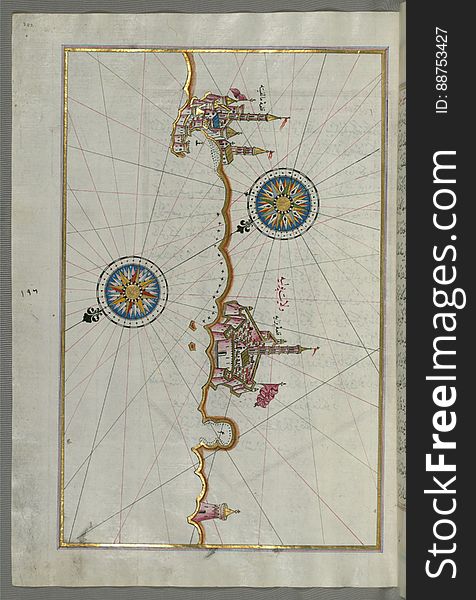
Illuminated Manuscript, Map of the town of Urbino and the surrounding area from Book on Navigation, Walters Art Museum Ms. W.658
Illuminated Manuscript, Map of the French coast around Marseille (MÄrsilye) from Book on Navigation, Walters Art Museum
Illuminated Manuscript, The Island of Leros (Līryūs) in the eastern Aegean Sea, from Book on Navigation, Walters Art M
Illuminated Manuscript, Map of the Libyan coast towards the Egyptian border from Book on Navigation, Walters Art Museum Ms. W.658
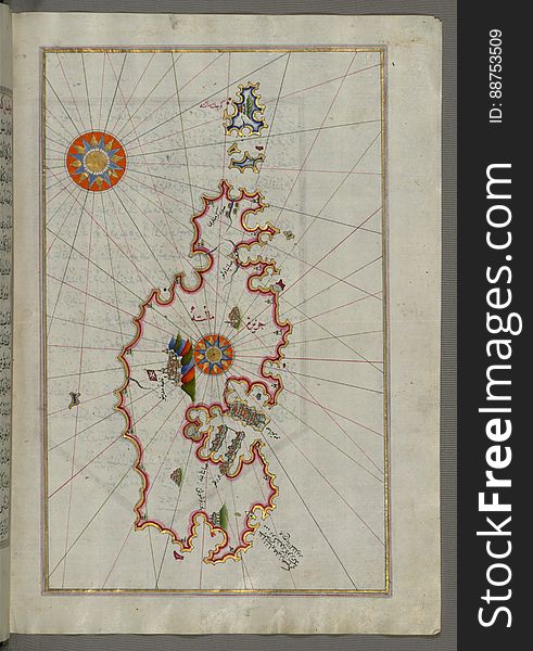
Illuminated Manuscript, Map of the island of Minorca(MinÄrqÅ«) from Book on Navigation, Walters Art Museum Ms. W.658, f
Illuminated Manuscript, Map of the towns Vasto and Termoli on the Italian coast from Book on Navigation, Walters Art Museum Ms. W.
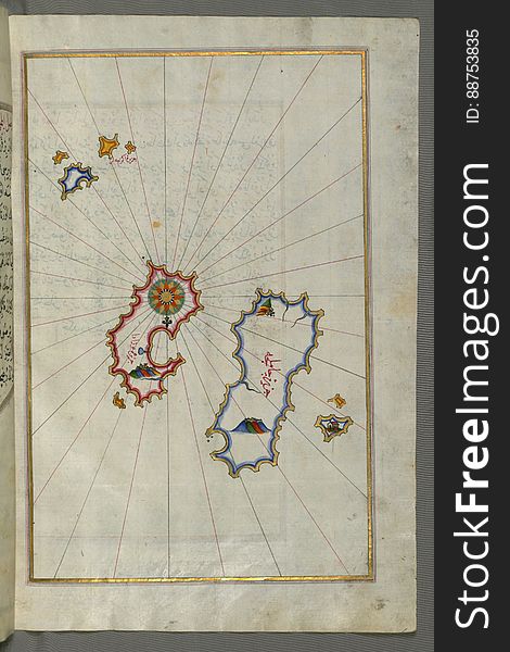
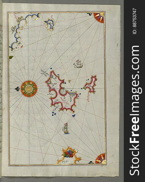
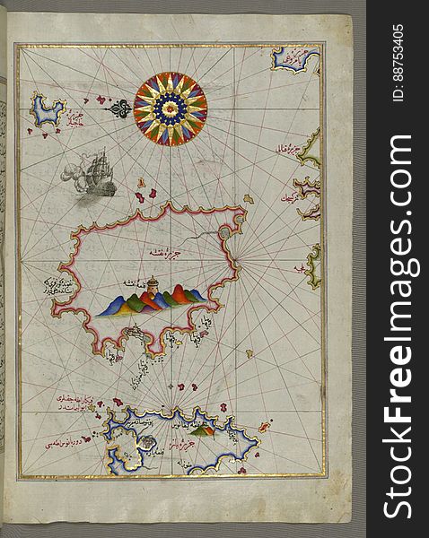
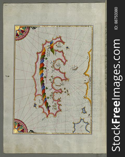
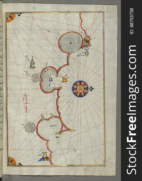
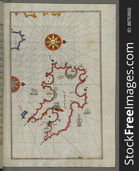
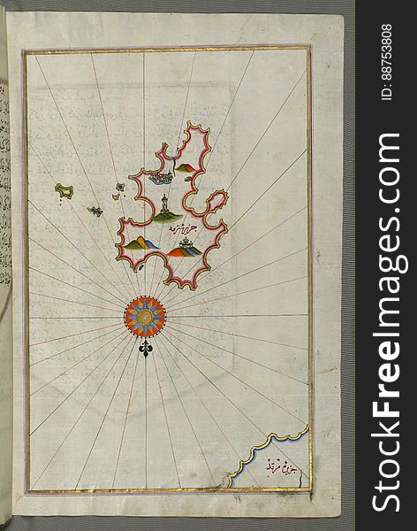
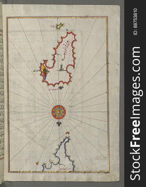
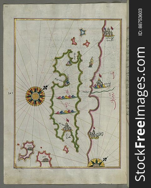
Illuminated Manuscript, Map of unidentified islands off the southern Anatolian coast from Book on Navigation, Walters Art Museum M
Illuminated Manuscript, Map of the coastline from Pula to Rovinj (RÅ«vinye) (Croatia) from Book on Navigation
Illuminated Manuscript, Map of Kythnos (Termia) island from Book on Navigation, Walters Art Museum Ms. W.658, fol.360b
Illuminated Manuscript, Map of the coast around Narbonne (NÄrbÅ«nah) from Book on Navigation, Walters Art Museum Ms. W.
Illuminated Manuscript Adriatic coast from Budva to Dubrovnik (Dūbre Venedīk), from Book on Navigation, Walters Art M
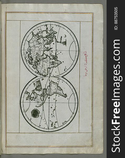
Illuminated Manuscript, World map in a double hemisphere, from Book on Navigation, Walters Art Museum Ms. W.658, fol. 40b
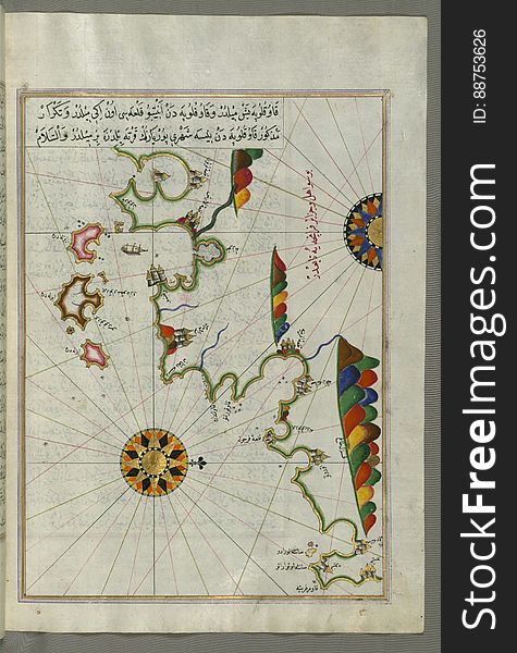
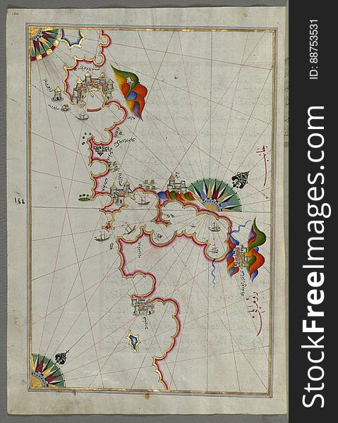
Illuminated Manuscript, Map from Book on Navigation, Walters Art Museum Ms. W.658, fol.358b
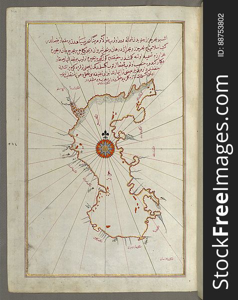
Illuminated Manuscript, Map of the Island of Sicily (Çiçilye) from Book on Navigation, Walters Art Museum Ms. W.658, f
Illuminated Manuscript Argolikos (Anaboli) Bay, from Book on Navigation, Walters Art Museum Ms. W.658, fol.122b
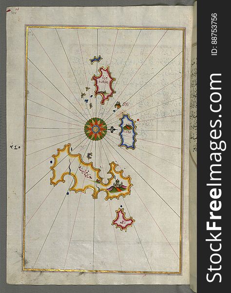
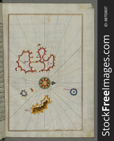
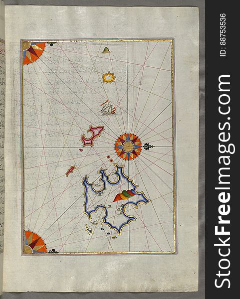
Illuminated Manuscript, Map of unidentified islands off the southern Anatolian coast from Book on Navigation, Walters Art Museum
Illuminated Manuscript, Map of The island of Rab (Arbe) (Croatia) from Book on Navigation, Walters Art Museum
Illuminated Manuscript, Map of the Island of Malta (MÄltah) from Book on Navigation, Walters Art Museum Ms. W.658, fol
Illuminated Manuscript, Map of two unnamed islands between Dubrovnik and Split (Croatia) from Book on Navigation, Walter
Next page
3
/ 7
Home
Search for Navigation black sea free images