Browse categories
Log in
Sign up
North Sea Free Stock Images
Related searches:
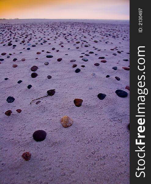
beach north sea
sweden
oil
Safe search
Include:
RF-LL
Public Domain
Illuminated Manuscript, Map of the coast line of the Black Sea from Book on Navigation, Walters Art Museum Ms. W.658, fol.371b
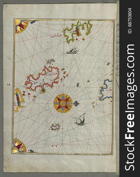
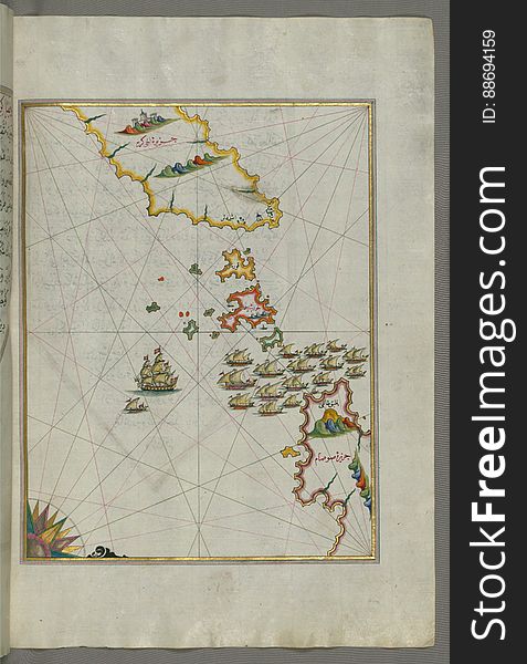
The coastline of the western Aegean Sea as far south as the Island of Euboea (Evvoia, Aghrībūz, Eğriboz), from Book o
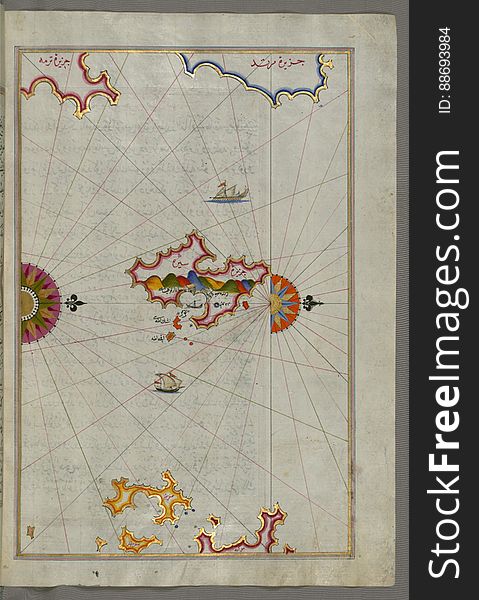
Illuminated Manuscript The islands of Delos and Rineia west of Mykonos island in the Aegean Sea, from Book on Navigation, Walters
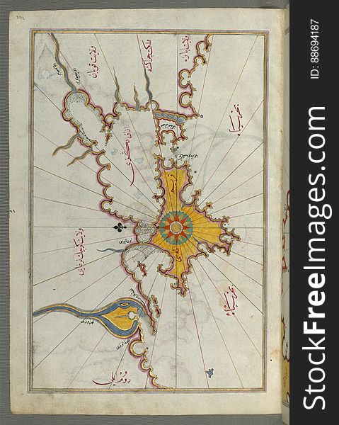
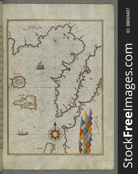
Illuminated Manuscript, Map of the Crimea (Qrīm), the Sea of Azov, and the mouth of the Dnieper from Book on Navigation
Weizhou Island
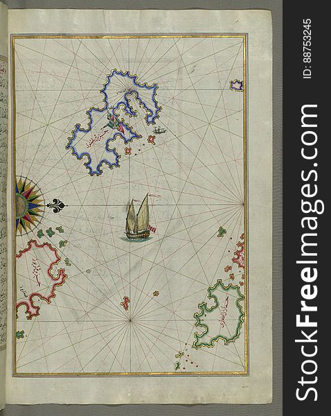
Illuminated Manuscript, The Island of Leros (Līryūs) in the eastern Aegean Sea, from Book on Navigation, Walters Art M
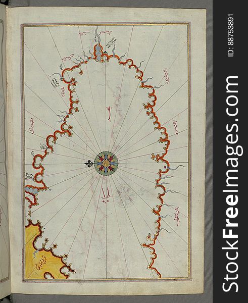
Illuminated Manuscript, Map of the Black Sea coastline from Book on Navigation, Walters Art Museum Ms. W.658, fol.373a
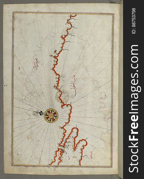
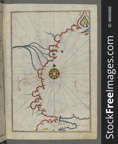
Illuminated Manuscript, Map of the coast of the Black Sea from Istanbul to Geresun from Book on Navigation, Walters Art Museum Ms.
Illuminated Manuscript Mykonos island in the Aegean Sea, from Book on Navigation, Walters Art Museum Ms. W.658, fol.116a
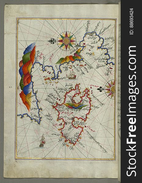
The island of Patmos (BÄá¹nÅ«z) south-east of Ikaria (Ahikere) in the eastern Aegean Sea from Book on Naviga
Illuminated Manuscript The island of Naxos (Naḳşe) in the southeastern Aegean Sea, from Book on Navigation, Walters
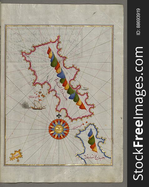
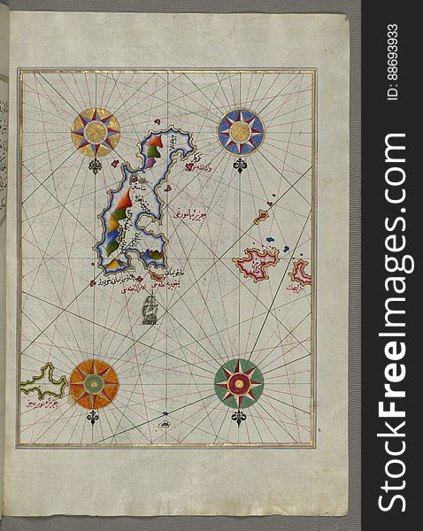
The Island of Midilli (Midillü, Mitylene, Lesvos) in the northeastern Aegean Sea, from Book on Navigation, Walters Art
Beach
Illuminated Manuscript islands of Ikaria (Ahikere) and Samos (ṢūṣÄm) in the eastern Aegean Sea, from Boo
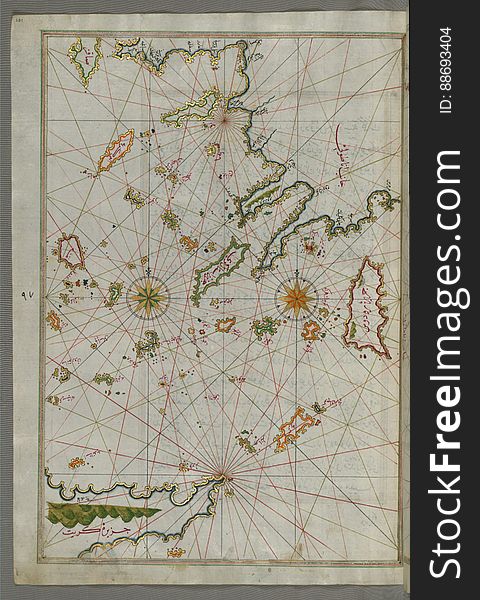
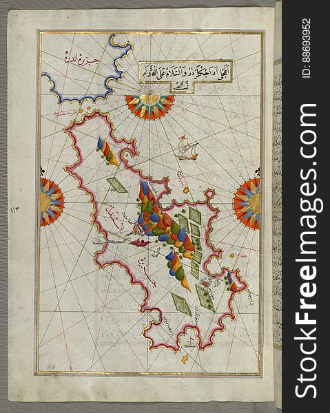
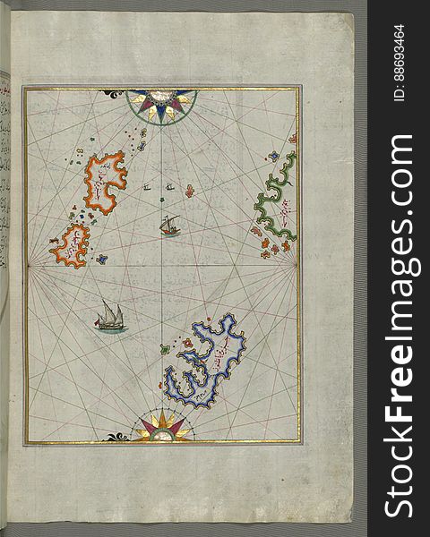
Illuminated Manuscript map of the islands of the Aegean Sea including Chios (Sakiz), Cos (Stancho, İstanköy)
Illuminated Manuscript, The island of Andros (Andre, Andra) in the northern Aegean Sea, from Book on Navigation, Walters
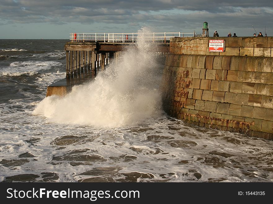
Wave crashing under Whitby pier
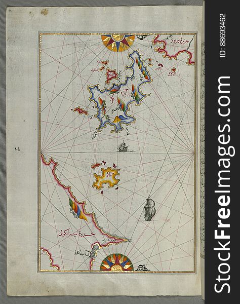
Illuminated Manuscript, Upper Aegean Sea with the islands of Imbros (Imroz, Gökçeada) and Bozca (Tenedos), f
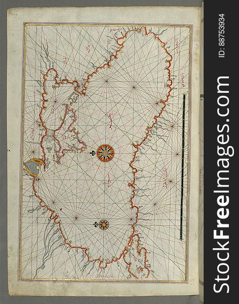
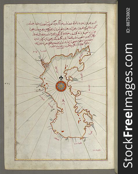
Illuminated Manuscript, Map of the Caspian Sea (Baḥr-i Khazar) from Book on Navigation, Walters Art Museum Ms. W.658
Illuminated Manuscript The island of Syros (Sire) in the Aegean Sea, from Book on Navigation, Walters Art Museum Ms. W.6
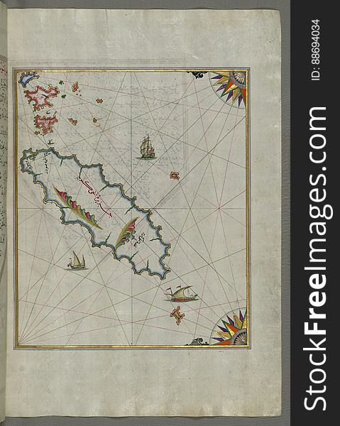
Illuminated Manuscript The Island of Amorgos (Yamurgi, Yamorki) in the southeastern Aegean Sea, from Book on Navigation
Illuminated Manuscript, Map of two islands: Santorini (á¹¢ÄntÅ«rÅ«n) and Thera (Thira) in the Aegean Sea, nor
Illuminated Manuscript Tinos (Ä°stendil) island in the Aegean Sea, from Book on Navigation, Walters Art Museum Ms. W.65
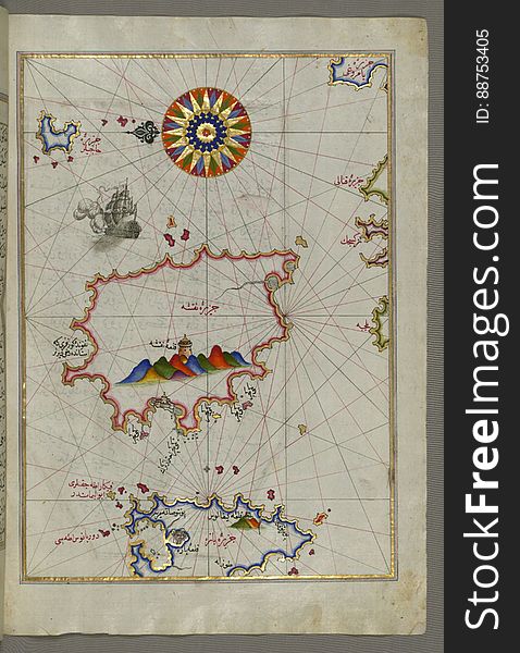
The Island of Kalimnos (Kalimaz) south of Leros in the eastern Aegean Sea from Book on Navigation, Walters Art Museum Ms
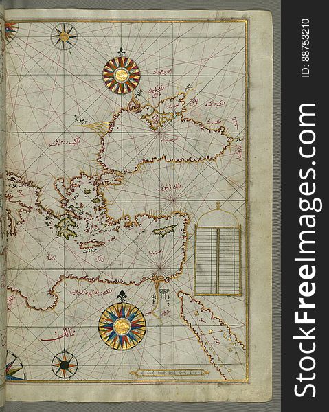
Map of the eastern Mediterranean, Aegean and the Black Sea, from Book on Navigation, Walters Art Museum Ms. W.658, fol.63b
Illuminated Manuscript, Map of Sea of Marmara, Bosporus strait and the Black Sea from Book on Navigation, Walters Art Museum Ms. W
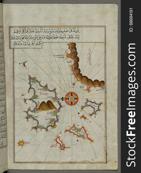
Illuminated Manuscript Map of The Islands of Semendrek (Samothraki) and Imroz (Imbros) in the Aegean Sea, from
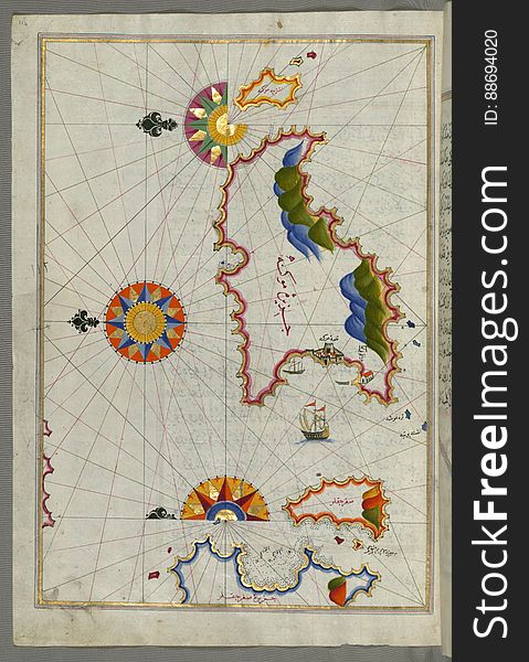
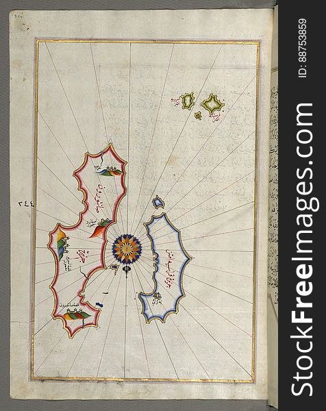
Several islands of the eastern Aegean Sea including: Leros (LÄ«rÅ«s) and Patmos (BÄá¹nÅ«z) from Book on Navi
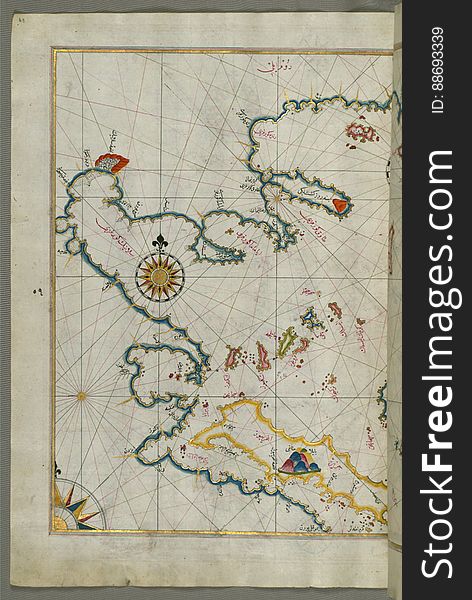
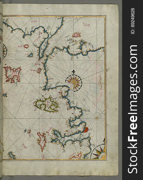
The sea of Marmara and the islands of the eastern Aegean Sea from Semendrek (Samothraki) as far as Chios (Sakiz, á¹
Illuminated Manuscript Island of Ikaria (Ahikere) in the eastern Aegean sea west of Samos (ṢūṣÄm), from
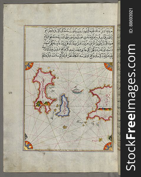
Illuminated Manuscript, Map of the island of Marmara in the sea of Marmara from Book on Navigation, Walters Art Museum Ms. W.658
Illuminated Manuscript, Map of part of the coastline of the Sea of Marmara, with the town of Kavak (QavÄq) from Book on
Next page
10
/ 99
Home
Search for North sea free images