Browse categories
Log in
Sign up
Walters Free Stock Images
Safe search
Include:
RF-LL
Public Domain
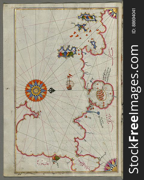
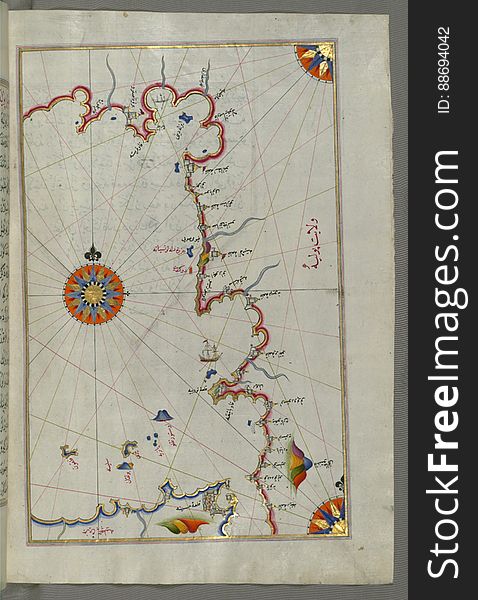
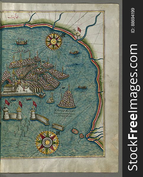
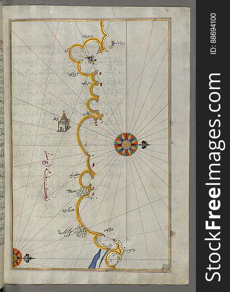
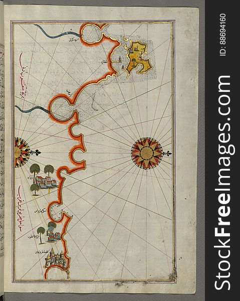
Illuminated Manuscript, Map of The Bay of Corinth from Book on Navigation, Walters Art Museum Ms. W.658, fol.137a
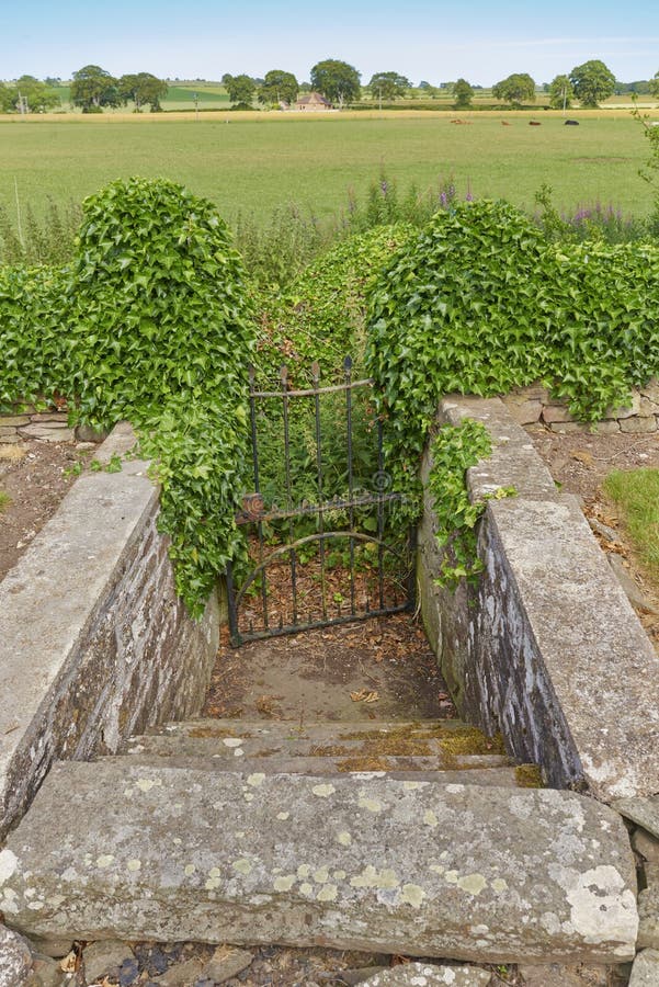
Hidden Steps leading from the Graveyard at Kinnell Church to an old path no longer used within the surrounding Farmland.
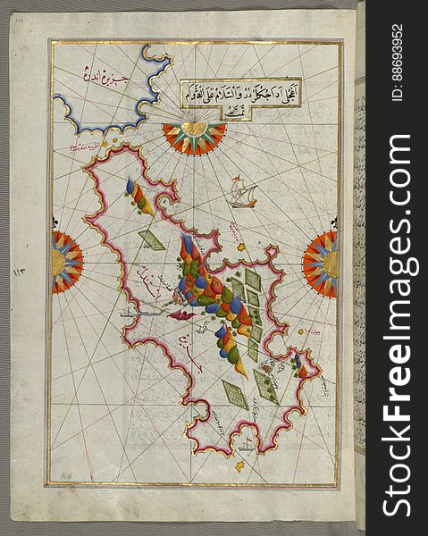
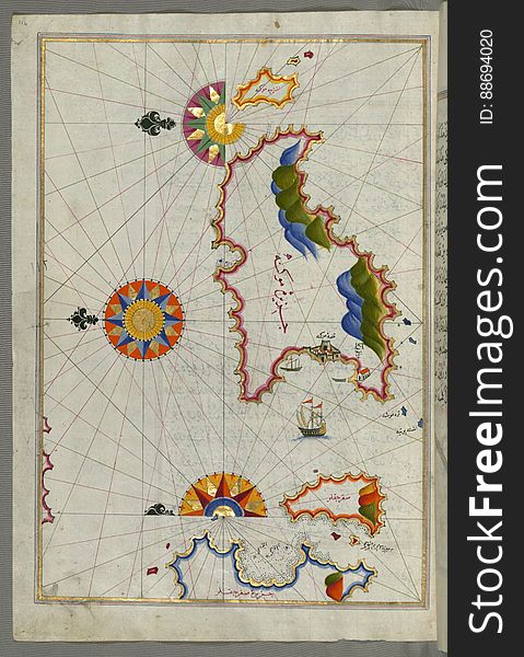
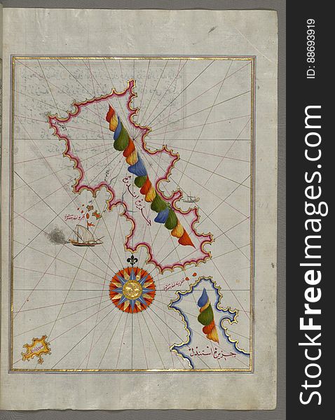
Illuminated Manuscript Tinos (İstendil) island in the Aegean Sea, from Book on Navigation, Walters Art Museum Ms. W.65
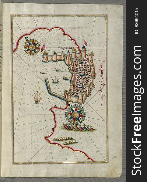
Illuminated Manuscript, Map of the Island of Cyprus (Qibrīz, Kıbrıs) from Book on Navigation, Walters Art Museum Ms.
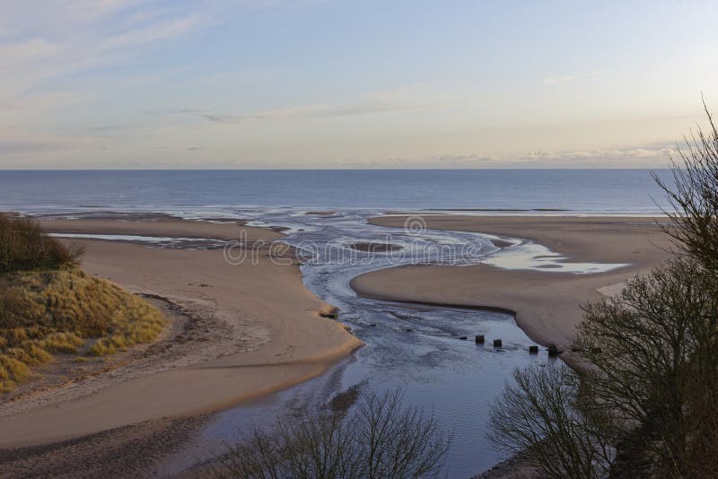
The mouth of the Lunan Water running over the beach at Lunan Bay
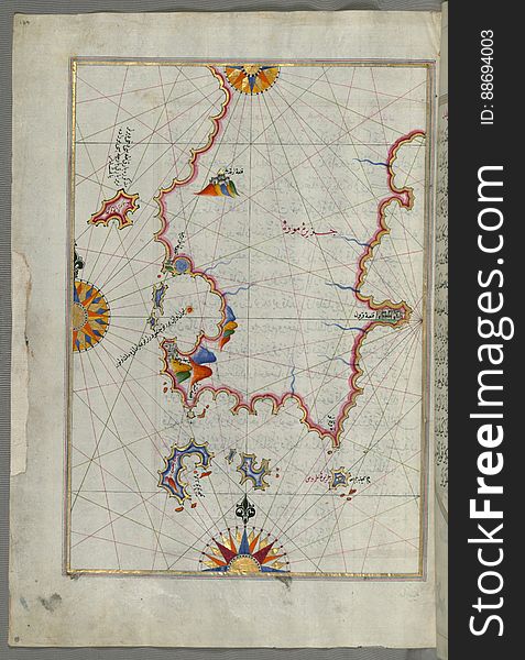
Illuminated Manuscript, Map of a fragment of the Island of Crete from Book on Navigation, Walters Art Museum Ms. W.658, fol.351b
Five poems (quintet), Walters Art Museum Ms. W.607, fol. 119b
Illuminated Manuscript, Map of the Algerian coast around Algiers (Jazāʾir) from Book on Navigation, Walters Art Museum
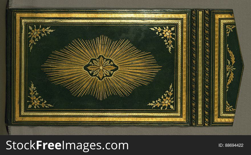
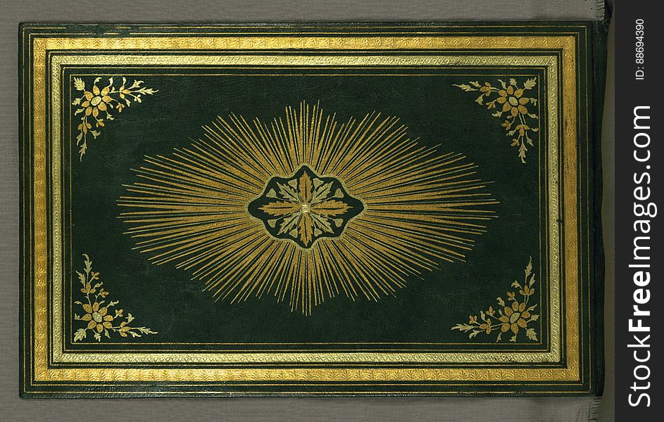
Illuminated Manuscript Koran, Binding, Walters Art Museum Ms. W.552, Lower board outside
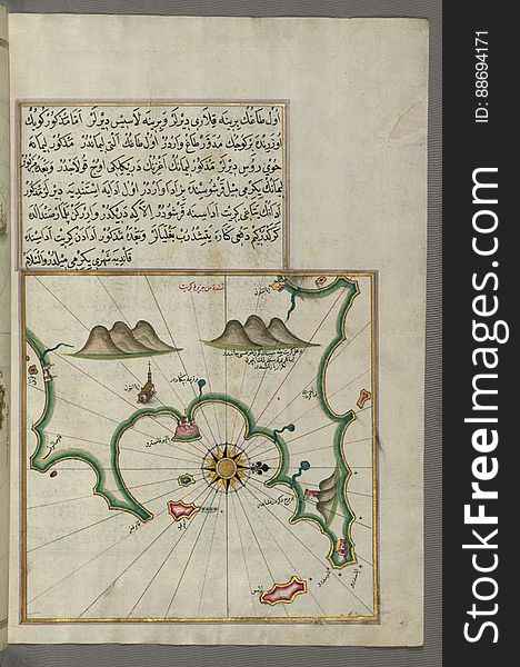
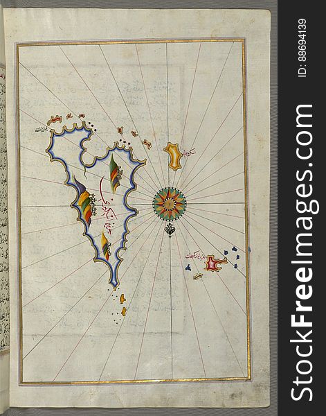
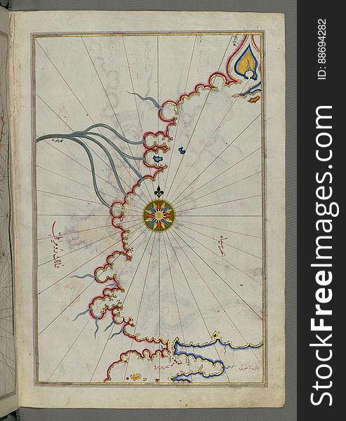
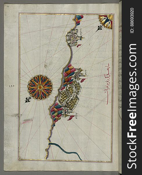
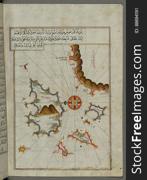
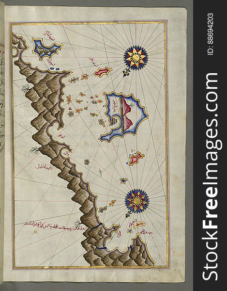
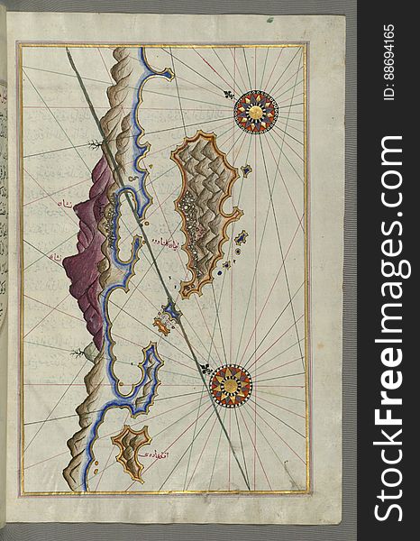
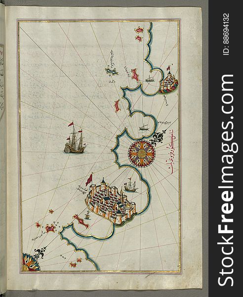
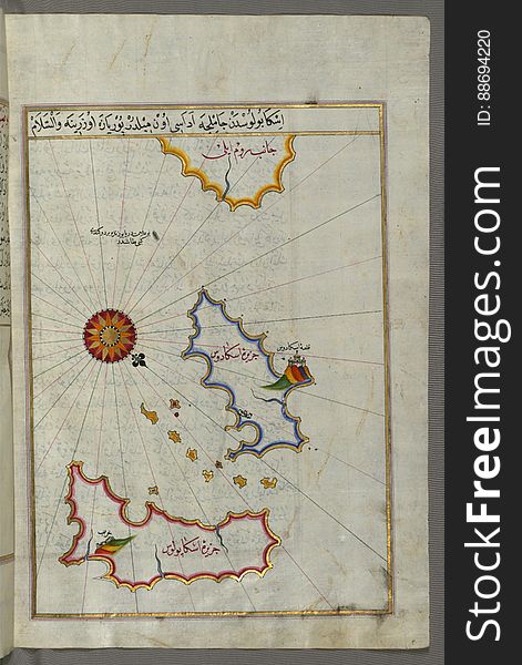
Illuminated Manuscript, Map of unidentified islands off the southern Anatolian coast from Book on Navigation, Walters Art Museum
Illuminated Manuscript, Map of Skyros (İskire) island from Book on Navigation, Walters Art Museum Ms. W.658, fol.362b
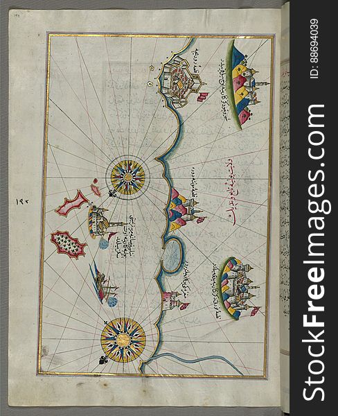
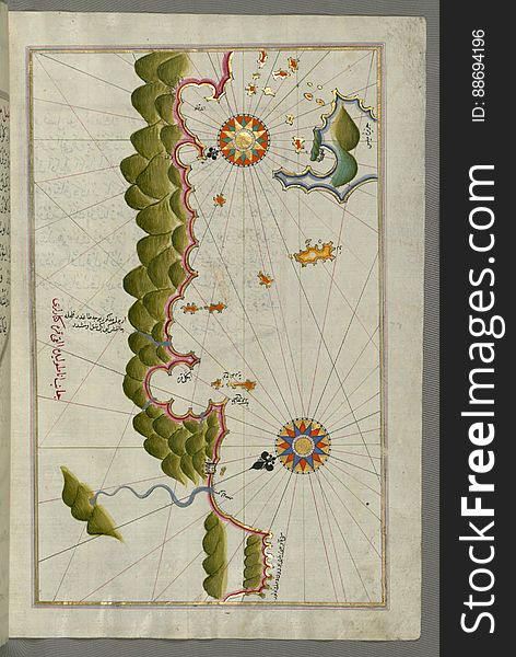
Illuminated Manuscript, Map of Sea of Marmara, Bosporus strait and the Black Sea from Book on Navigation, Walters Art Museum Ms. W
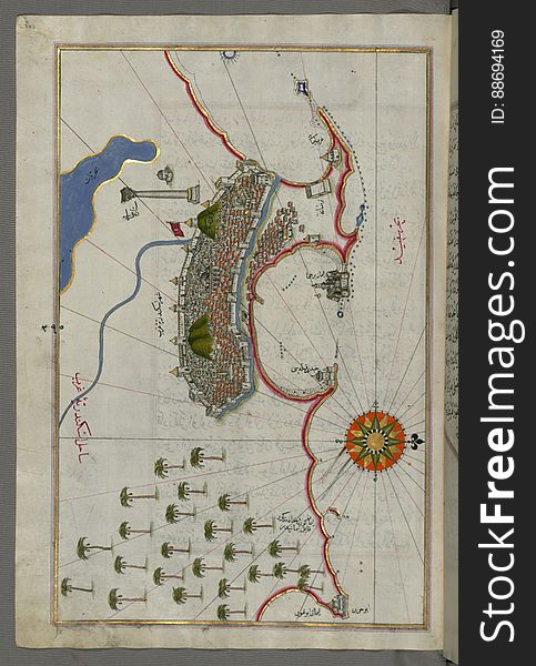
Illuminated Manuscript, Map of the city of Alexandria (Iskandarīyah) (Egypt) from Book on Navigation, Walters
One of the Marlink Sealink Communication Domes onboard a Seismic Vessel alongside the Quay.
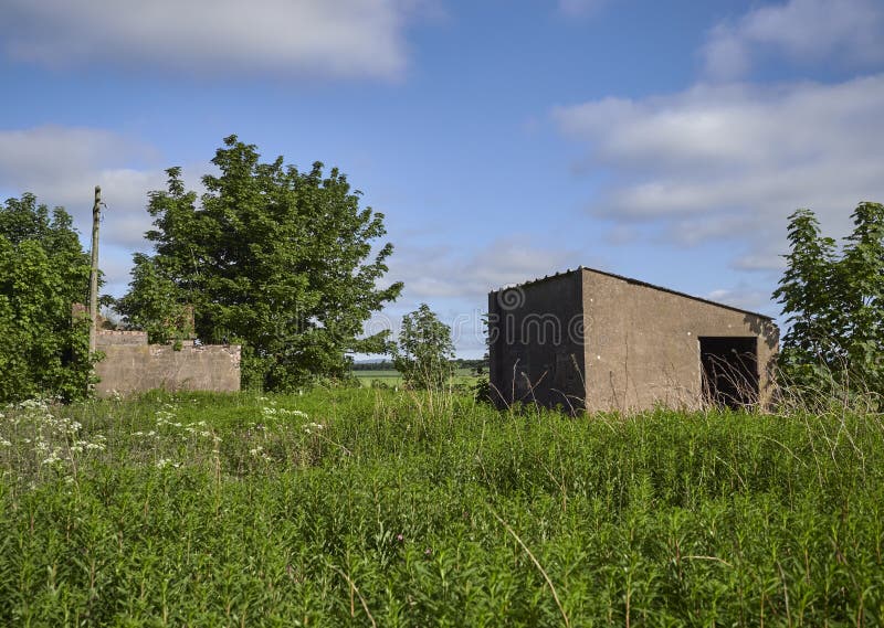
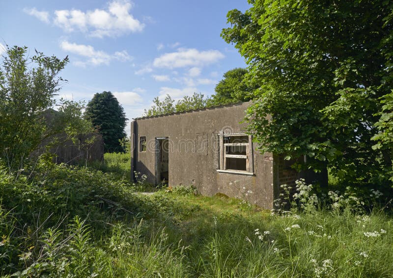
Two Technical Buildings hidden in the undergrowth on the edge of Stracathro Airfield.
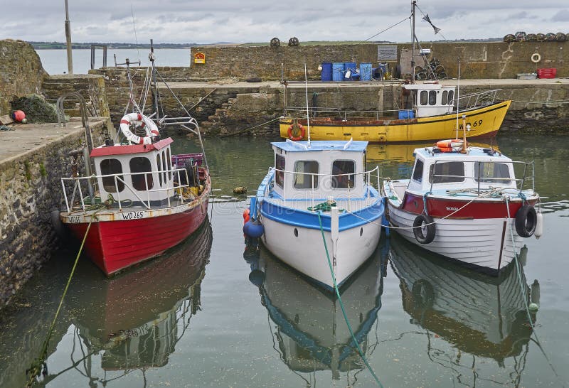
Four Colourful Local Irish Fishing Boats moored up at low tide in Fethard Harbour in County Wexford.
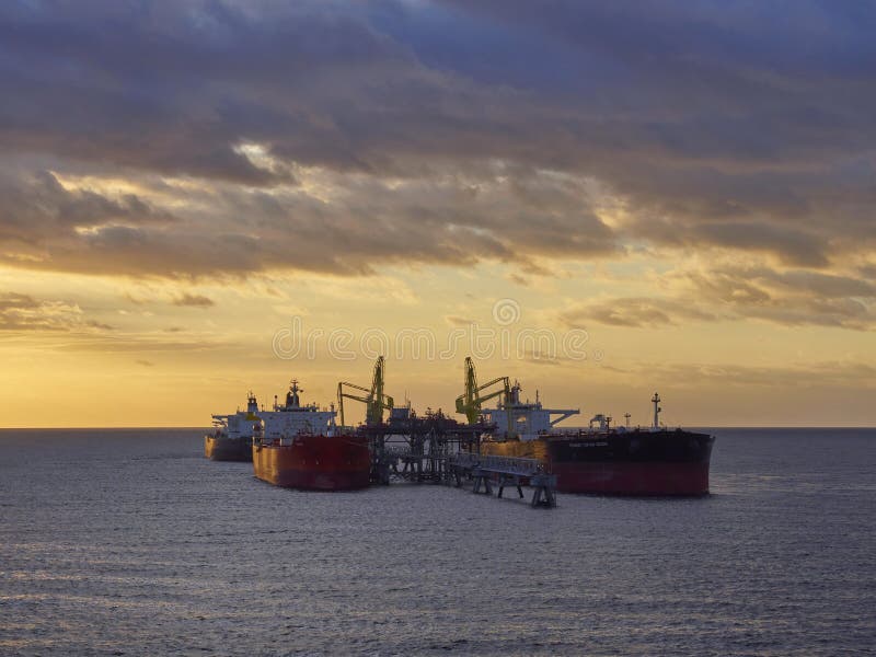
Several Oil Tankers discharging oil Products at an Offshore jetty at the Anchorage of Freeport in the Bahamas on one dawn morning.
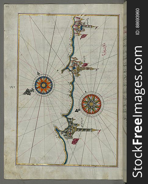
Illuminated Manuscript, Map of the straits of Messina and the western Italian coast from Book on Navigation, Walters Art Museum Ms
Peterson Quay and its associated Warehousing to the North of Lerwick under construction to enlarge the Maritime Facilities.
Illuminated Manuscript, Map of the fortress of Trieste (Rishtī) (Italy) from Book on Navigation, Walters Art
Illuminated Manuscript, Map of the Italian coastline south of Ancona including Tronto from Book on Navigation, Walters Art Museum
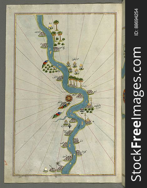
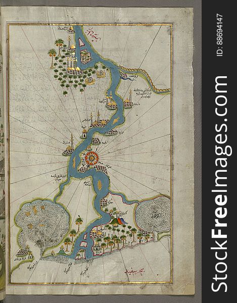
Illuminated Manuscript, Map of the river Nile with various oases on each side from Book on Navigation, Walters Art Museum Ms. W.65
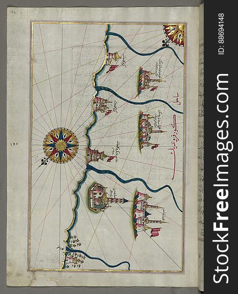
Illuminated Manuscript, Map of the town of Bari and the surrounding area from Book on Navigation, Walters Art Museum Ms. W.658, fo
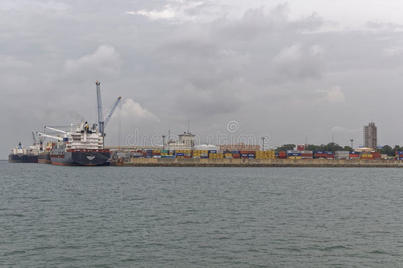
General Cargo vessels and Container Ships, loading and unloading cargo at the busy Port of Conakry
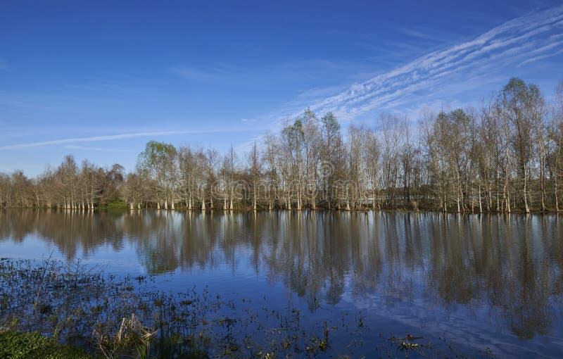
Tree and riverbank reflections in the still water of a Brazos Bend Lake at a State Park in Texas.
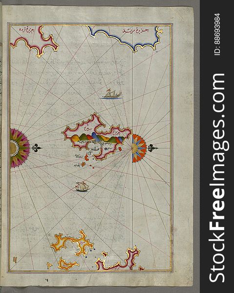
Illuminated Manuscript, Map of the island of Marmara in the sea of Marmara from Book on Navigation, Walters Art Museum Ms. W.658
Illuminated Manuscript, Map of the Italian coast between Termoli and Peschici from Book on Navigation, Walters Art Museum Ms. W.65
Koran, Illuminated headpiece with arabesque design and marginal medallion at left, Walters Manuscript W.555, fol. 1a
Brick built Wartime Huts lie abandoned at Stracathro Airfield and well hidden in the undergrowth.
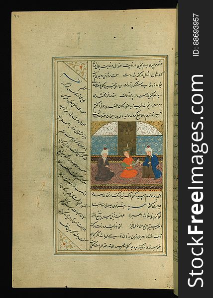
Illuminated Manuscript Collected works (Kulliyat), Walters Art Museum Ms. 617, fol. 74a
Illuminated Manuscript Mykonos island in the Aegean Sea, from Book on Navigation, Walters Art Museum Ms. W.658, fol.116a
Illuminated Manuscript, The island of Andros (Andre, Andra) in the northern Aegean Sea, from Book on Navigation, Walters
Illuminated Manuscript, Map of some unidentified islands off the southern Anatolian coast from Book on Navigation, Walters Art Mu
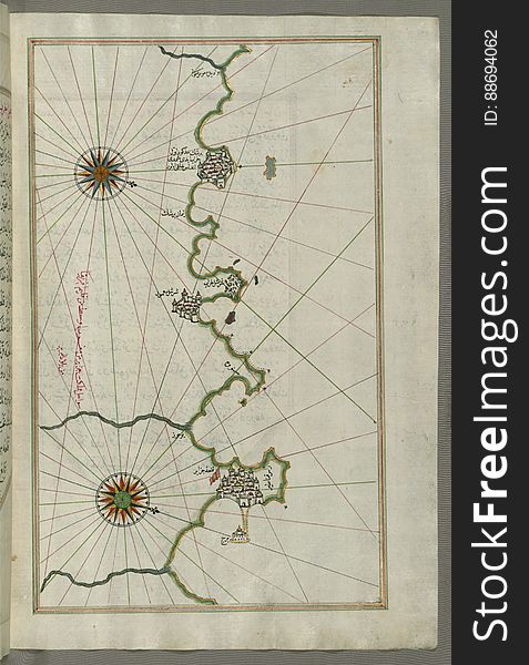
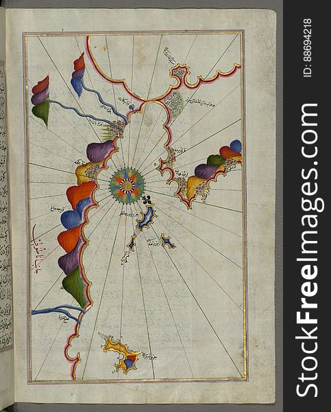
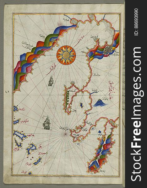
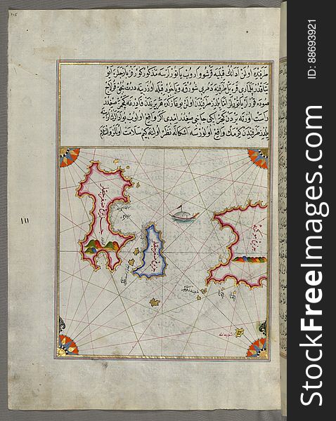
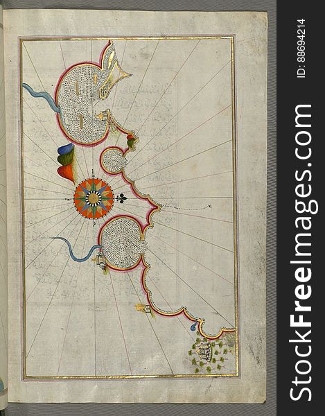
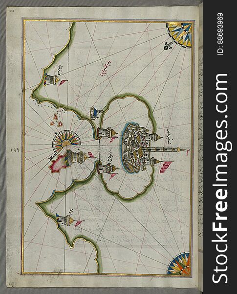
Illuminated Manuscript, Map from Book on Navigation, Walters Art Museum Ms. W.658, fol.367b
Illuminated Manuscript Messiniakos Bay (Bay of Messini), fr, om Book on Navigation, Walters Art Museum Ms. W.658, fol.12
Illuminated Manuscript, The Bay of Salonica (Selānīk, Thessaloniki), from Book on Navigation, Walters Art Museum Ms. W
The Urban Sprawl of Pizarro in the Guadalhorce Valley moving up the mountainside next to the Raja Ancha Recreation Area.
Illuminated Manuscript The Bay of Saronikos (Atene) with the city of Athens, from Book on Navigation, Walters Art Museu
Illuminated Manuscript, Map of the western part of the city of Venice (Venedīk) from Book on Navigation, Walters Art Mu
Illuminated Manuscript, Map of the eastern part of the city of Venice (Venedīk) from Book on Navigation, Walters Art Mu
Illuminated Manuscript, Map of the Islands off the shores of Finike (Turkey) from Book on Navigation, Walters Art Museum
Illuminated Manuscript, Map of some unidentified islands off the southern Anatolian coast from Book on Navigation, Walters Art Mus
Illuminated Manuscript Collected works (Kulliyat), Walters Art Museum Ms. 617, fol. 4a
Illuminated Manuscript, Map of the Egyptian coast from Matrūḥ east towards Alexandria from Book on Navigation, Walters Art Muse
Illuminated Manuscript, Eastern part of the Peloponnese (Morea, Mora) peninsula from Book on Navigation, Walters Art Mu
Illuminated Manuscript The islands of Delos and Rineia west of Mykonos island in the Aegean Sea, from Book on Navigation, Walters
Illuminated Manuscript The island of Syros (Sire) in the Aegean Sea, from Book on Navigation, Walters Art Museum Ms. W.6
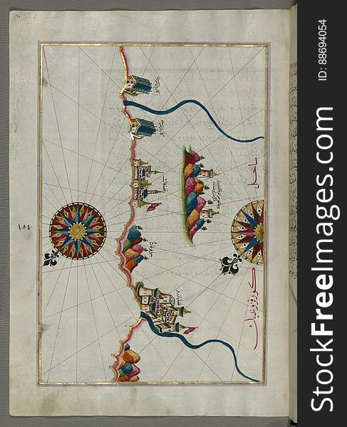
Illuminated Manuscript, Map of the coastline from Rovinj north (Croatia) from Book on Navigation, Walters Art Museum Ms.
The empty and quiet Parking lot and ASDA Store on New Years Night at Forfar.
Illuminated Manuscript, Map of the Italian coastline from Barletta to Trani from Book on Navigation, Walters Art Museum Ms. W.658
Illuminated Manuscript, Map of the Italian coastline from Pesaro (Pāzarū) south from Book on Navigation, Walters Art M
Illuminated Manuscript, Map of the river Nile from its estuary south from Book on Navigation, Walters Art Museum Ms. W.658, fol.30
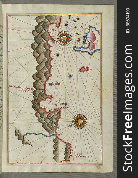
Illuminated Manuscript, Map of the coast of Tripoli (Ṭarābulus) (Libya) from Book on Navigation, Walters Ar
Illuminated Manuscript Koran, Binding, Walters Art Museum Ms. W.552, Upper board outside
Illuminated Manuscript, Map of unmarked part of the Egyptian coastline from Book on Navigation, Walters Art Museum Ms. W.658, fol.
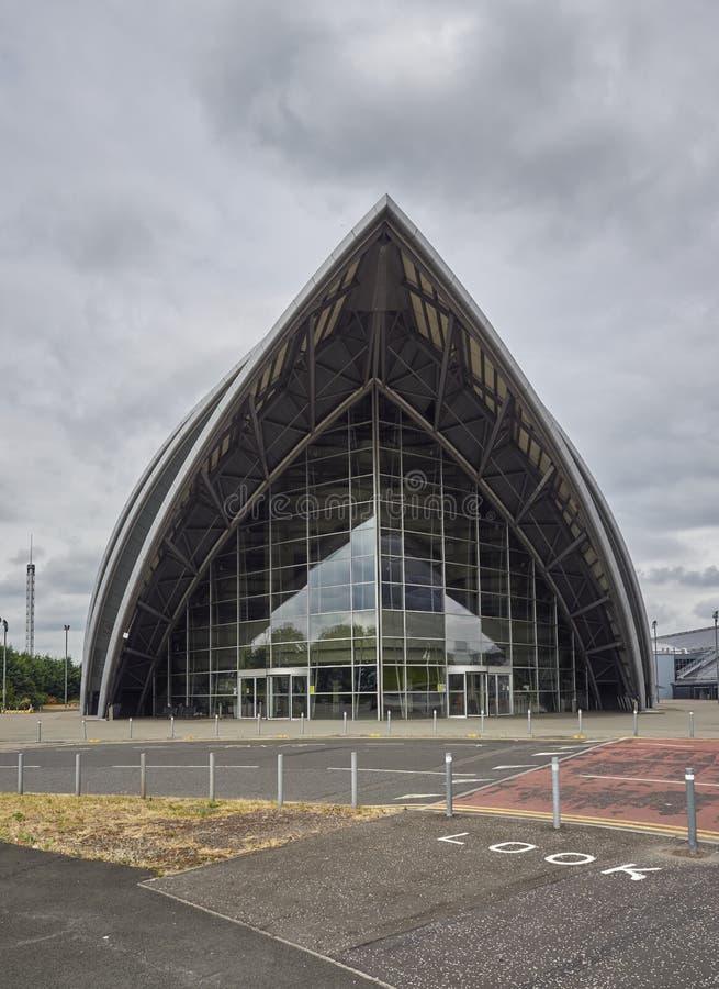
The entrance to the SEC Armadillo at Queens Dock, Clydeport in Glasgow, with its unique style of architecture.
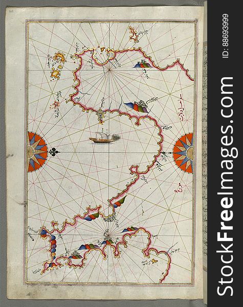
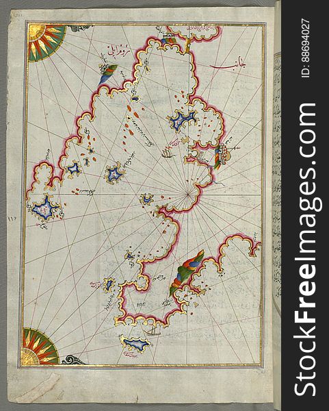
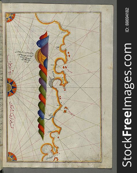
Illuminated Manuscript, Map from Book on Navigation, Walters Art Museum Ms. W.658, fol.363b
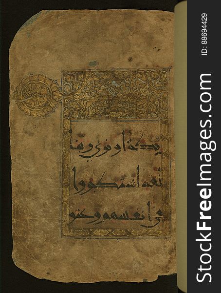
Illuminated Manuscript Koran, Walters Art Museum Ms. W.552, 41a
Looking down Carnoustie Town High Street on an Early Sunday morning in May.
Illuminated Manuscript, Map of fortresses and towns south of Ancona, including Loreto from Book on Navigation, Walters Art Museum
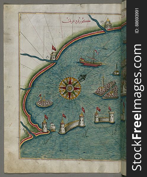
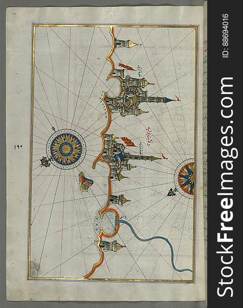
Illuminated Manuscript, Map of the port of Brindisi (Parindīs) from Book on Navigation, Walters Art Museum Ms. W.658, f
The Most Challenging Links in the World Slogan at the Practise Putting Green at Carnoustie Links.
Illuminated Manuscript, Map of the Libyan coast towards to Egyptian border from Book on Navigation, Walters Art Museum Ms. W.658
Next page
3
/ 14
Home
Search for Walters free images