Browse categories
Log in
Sign up
Wales Map Free Stock Images
Related searches:
map wales
Safe search
Include:
RF-LL
Public Domain
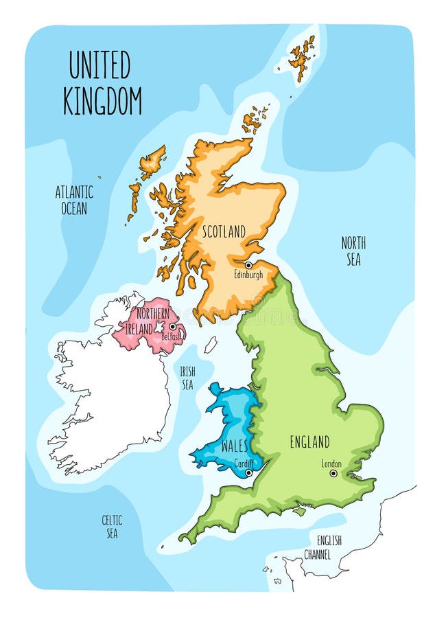
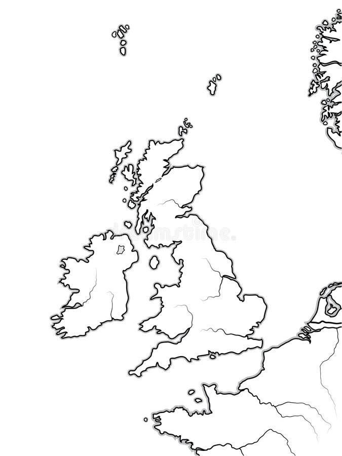
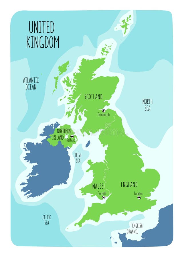
Hand drawn map of the United Kingdom including England, Wales, Scotland and Northern Ireland and their capital cities
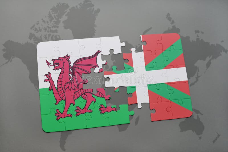
puzzle with the national flag of wales and basque country on a world map background.
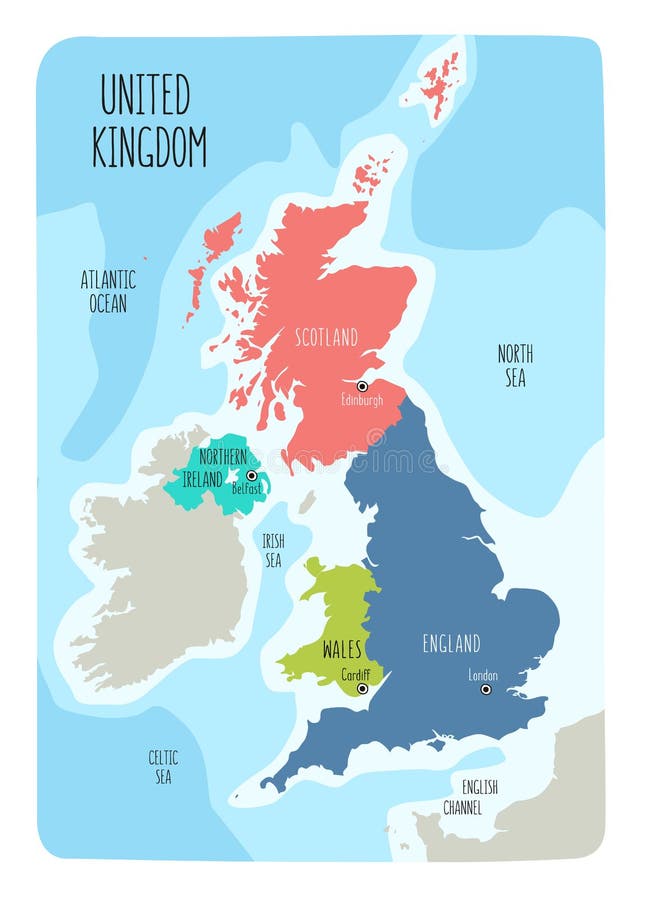
Hand drawn map of the United Kingdom including England, Wales, Scotland and Northern Ireland and their capital cities
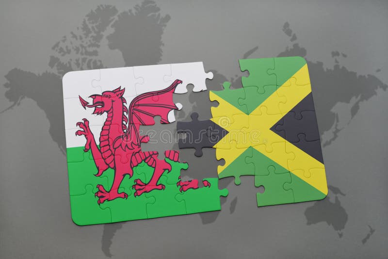
puzzle with the national flag of wales and jamaica on a world map
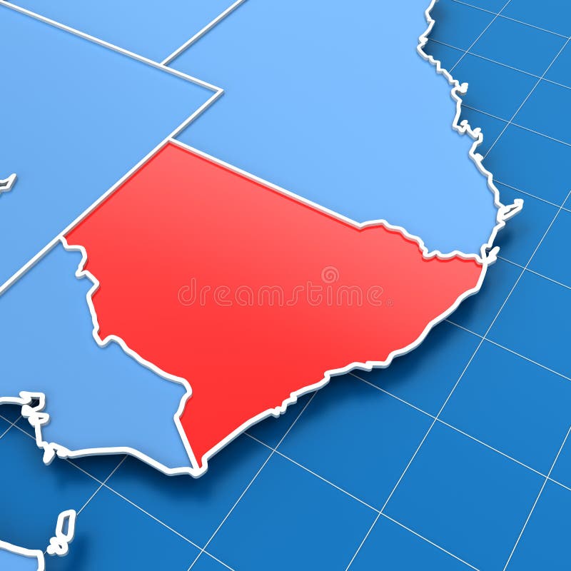
Australia map with New South Wales highlighted
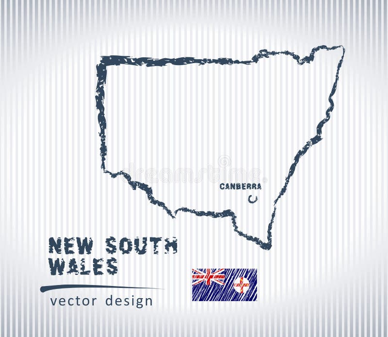
New South Wales vector chalk drawing map isolated on a white background
Wales communication network map. Vector image of a low poly global map with city lights. Map in the form of lines and dots
Map of The ENGLISH Lands: UK, Great Britain, England, Scotland, Wales & Ireland. Geographic chart.
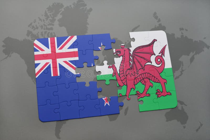
puzzle with the national flag of new zealand and wales on a world map background
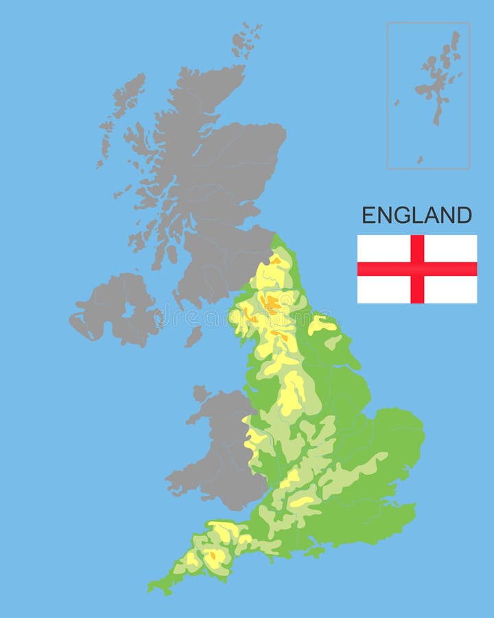
England is part of the UK. Bordered by northern ireland, Wales and Scotland. Detailed physical map of country colored according to
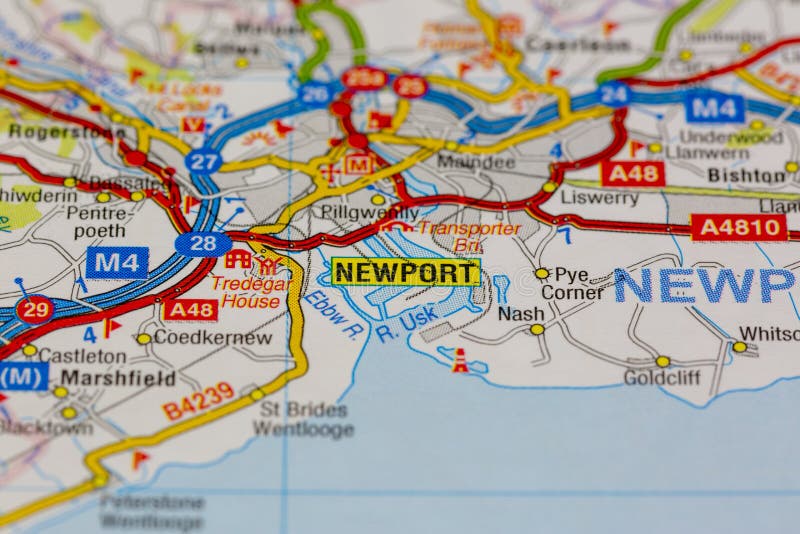
02-18-2021 Portsmouth, Hampshire, UK Newport, wales and surrounding areas shown on a road map or geography map
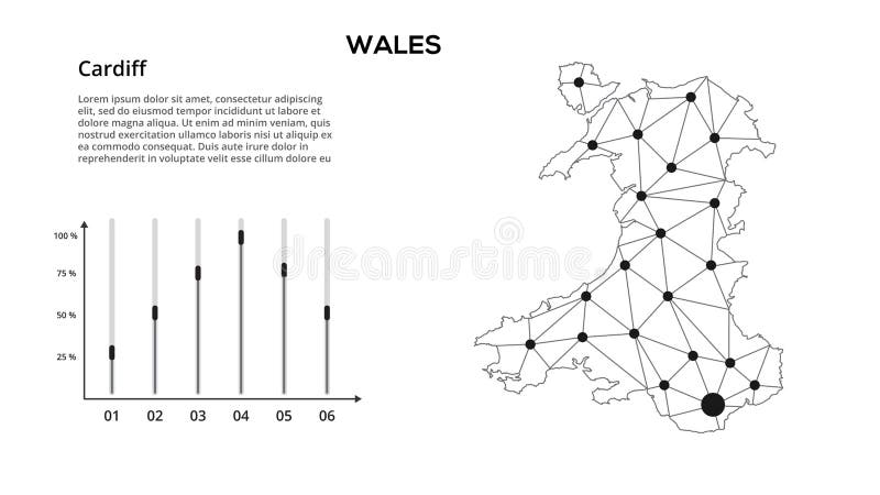
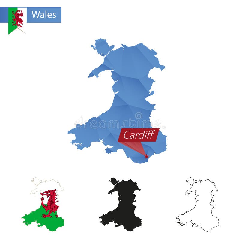
Wales blue Low Poly map with capital Cardiff
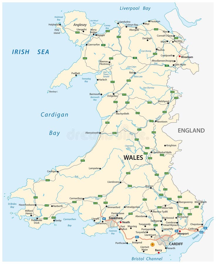
Road map of the British territory of wales
Hand drawn map of the United Kingdom including England, Wales, Scotland and Northern Ireland and their capital cities
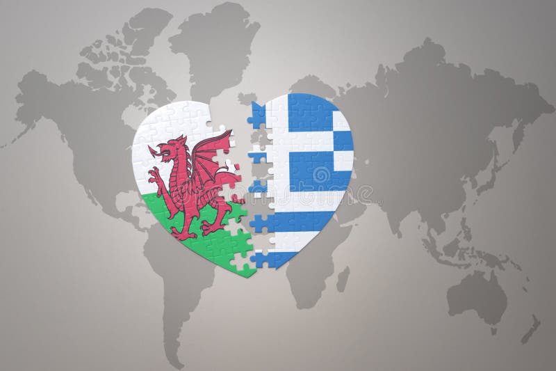
puzzle heart with the national flag of greece and wales on a world map background.Concept
Next page
2
/ 43
Home
Search for Wales map free images