Browse categories
Log in
Sign up
Old World Maps Free Stock Images
Safe search
Include:
RF-LL
Public Domain
Old world map
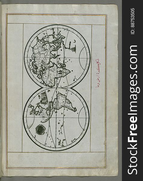
Illuminated Manuscript, World map in a double hemisphere, from Book on Navigation, Walters Art Museum Ms. W.658, fol. 40b
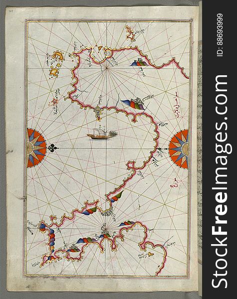
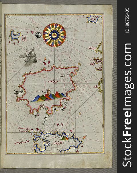
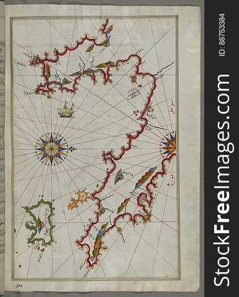
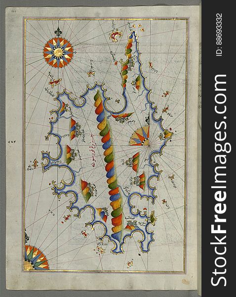
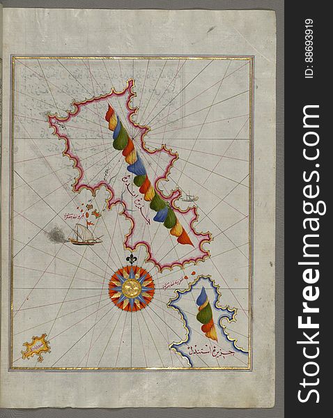
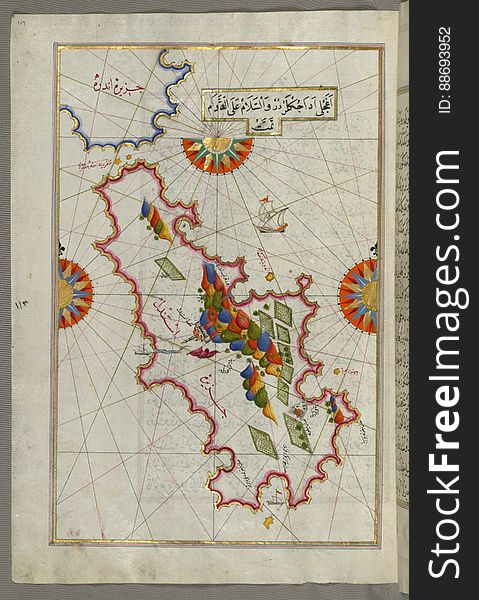
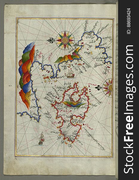
Illuminated Manuscript The island of Naxos (Naḳşe) in the southeastern Aegean Sea, from Book on Navigation, Walters
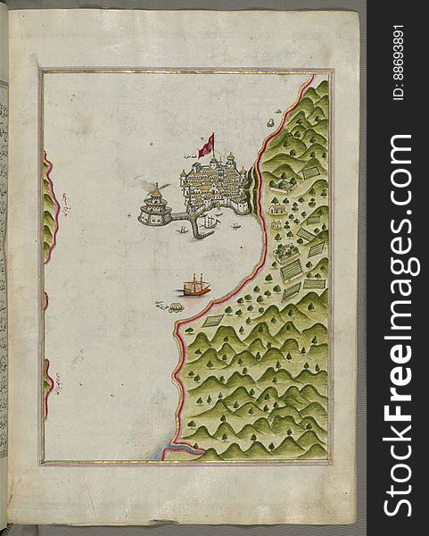
Chios (Sakiz, Sāqiz) Island facing Kysos (Çeşme) fortress on the Anatolian side, from Book on Navigation, W
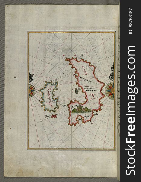
Illuminated Manuscript The Cyclades (Kikladhes) islands between the Peloponnese (Morea, Mora) peninsula and Cr
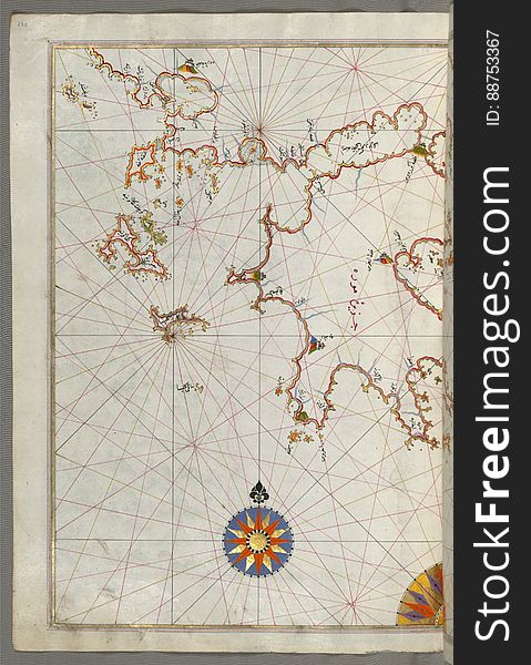
The coastline of the western Aegean Sea as far south as the Island of Euboea (Evvoia, Aghrībūz, Eğriboz), from Book o
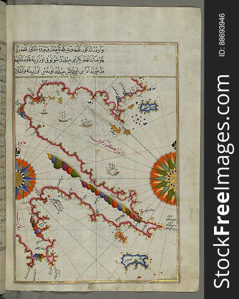
Illuminated Manuscript Map of the Islands of the Adriatic Coast from Book on Navigation, Walters Art Museum Ms. W.658, fol. 208a
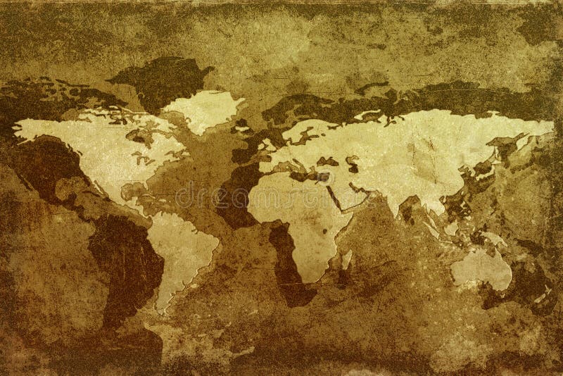
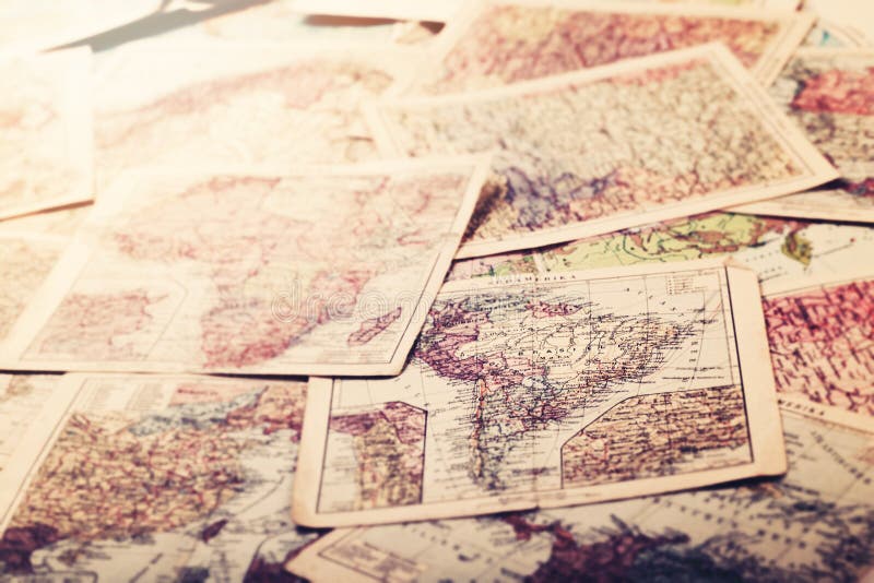
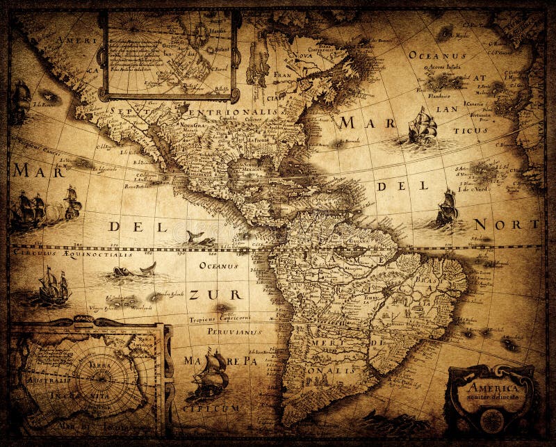
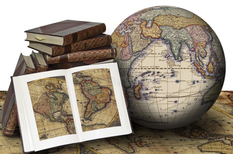
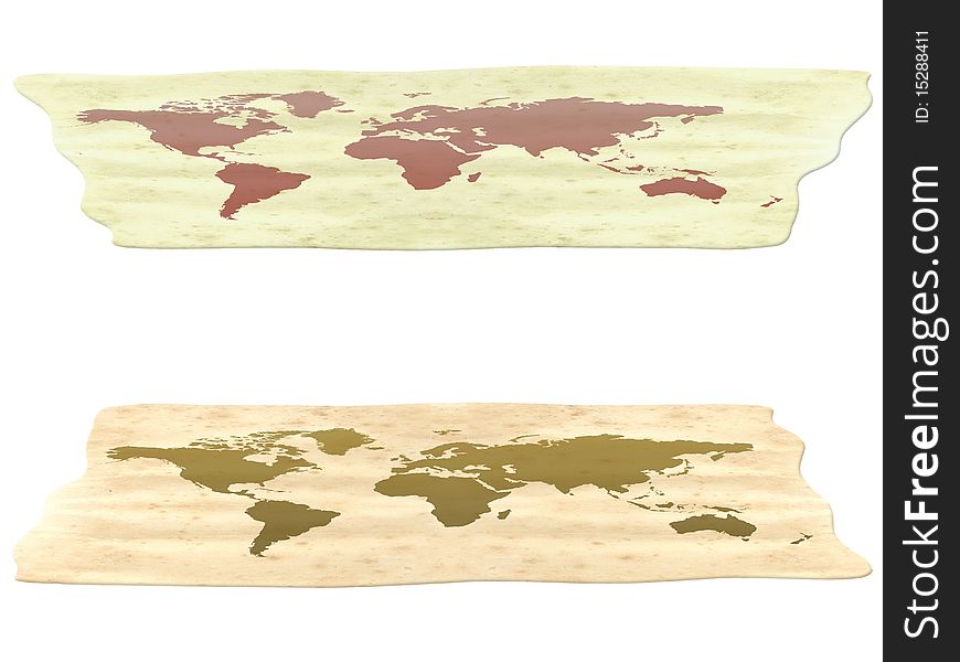
Old vintage maps of the world
Illuminated Manuscript Map of Saronikos (Aiyina) Bay, from Book on Navigation, Walters Art Museum Ms. W.658, fol. 133a
The Island of Samos, from Book on Navigation, Walters Art Museum Ms. W.658, fol.79b
An old map of the world background
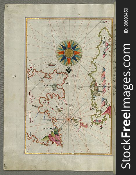
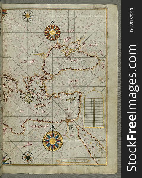
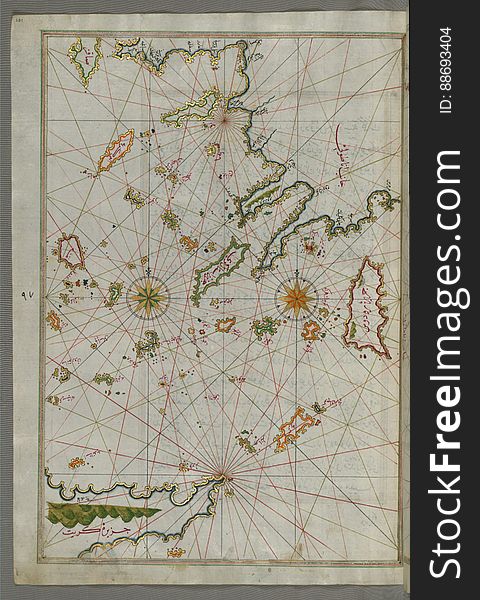
Map of the eastern Mediterranean, Aegean and the Black Sea, from Book on Navigation, Walters Art Museum Ms. W.658, fol.63b
The island of Psara west of Chios, from Book on Navigation, Walters Art Museum Ms. W.658, fol.74a
Old World Map
The old maps
World map background
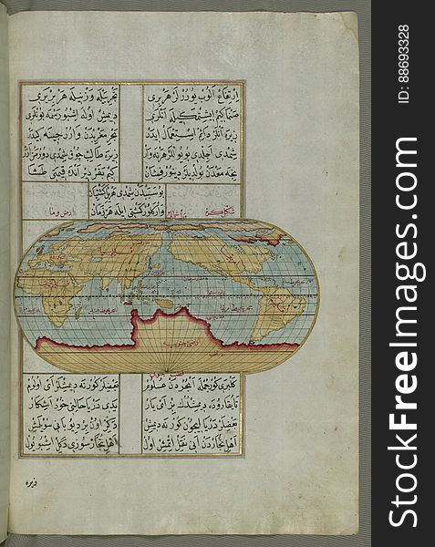
Illuminated Manuscript Map of the World from Book on Navigation, Walters Art Museum Ms. W.658, fol. 41a
Illuminated Manuscript The Peloponnese (Morea, Mora) peninsula with the island of Kythira (Cerigo, Ҫoke) and
The World
Illuminated manuscript Map of Corsica, from Book on Navigation, Walters Art Museum Ms. 658, fol. 229a
Exploration and discovery
Illuminated Manuscript The Methana (Mutūn) fortress in the Saronikos (Aiyina) Bay, from Book on Navigation, W
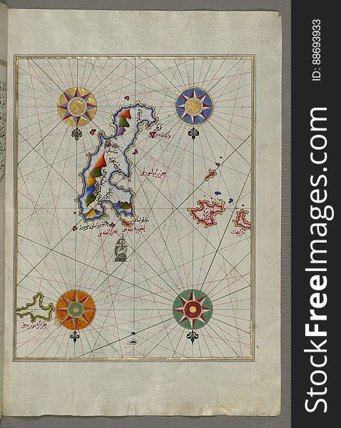
Illuminated Manuscript The Island of Amorgos (Yamurgi, Yamorki) in the southeastern Aegean Sea, from Book on Navigation
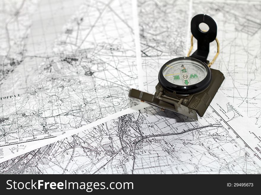
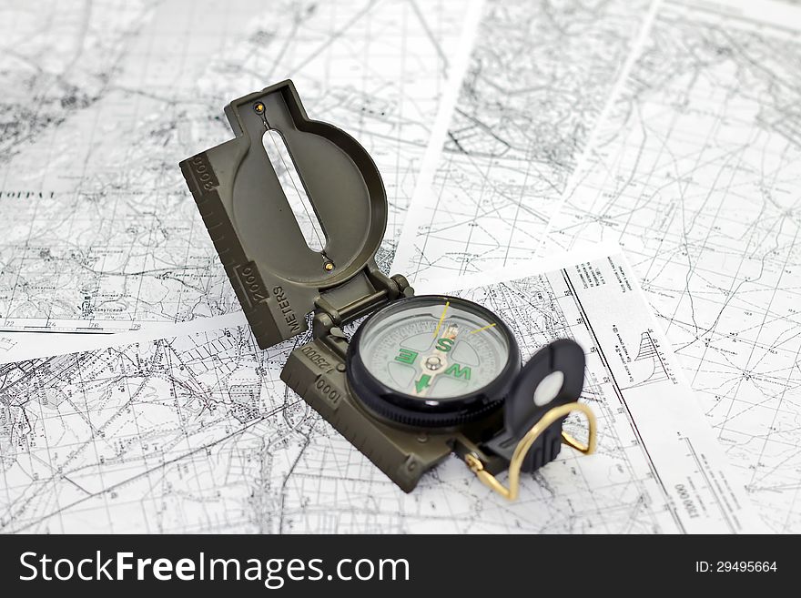
Compass and maps
Old vintage maps of the world
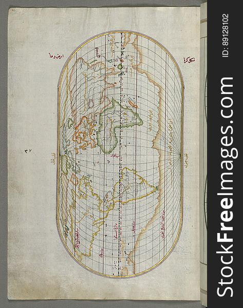
Illuminated Manuscript, Oval Map of the World, from Book on Navigation, Walters Art Museum Ms. W.658, fol.23b
Illuminated Manuscript, The island of Andros (Andre, Andra) in the northern Aegean Sea, from Book on Navigation, Walters
Illuminated Manuscript Argolikos (Anaboli) Bay and Peloponnese (Morea, Mora) peninsula , from Book on Navigat
Illuminated Manuscript The stretch of water between the Peloponnese (Morea, Mora) peninsula and the Island of Crete wit
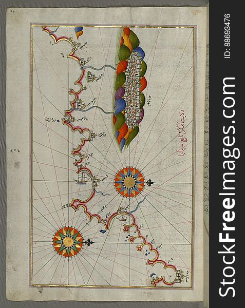
Illuminated manuscript Map of the Fortress of Ancona, from Book on navigation, Walters Art Museum ms. W.658, fol. 192a
Illuminated Manuscript map of the northeastern tip of Rhodes (Rodos, Rūdūs) Island facing the Anatolian coast with the
1875 Antique Map of World Ocean Currents
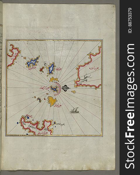
Illuminated Manuscript Nisyros (Inǧirlü) island south of Cos (Stancho, İstanköy) island in the eastern Aeg
Illuminated Manuscript Mykonos island in the Aegean Sea, from Book on Navigation, Walters Art Museum Ms. W.658, fol.116a
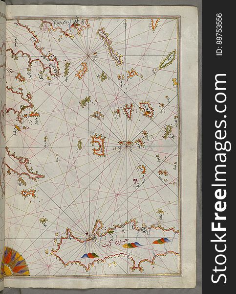
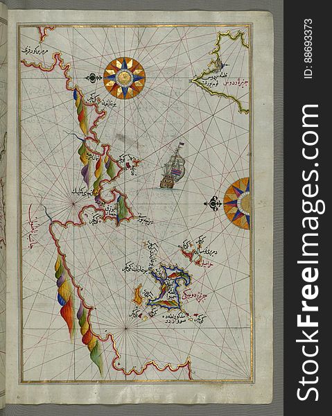
Illuminated Manuscript map of the islands of the Aegean Sea including Chios (Sakiz), Cos (Stancho, İstanköy)
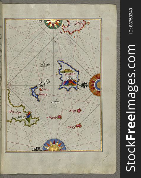
Illuminated Manuscript Tinos (İstendil) island in the Aegean Sea, from Book on Navigation, Walters Art Museum Ms. W.65
1846 Map World in Hemispheres
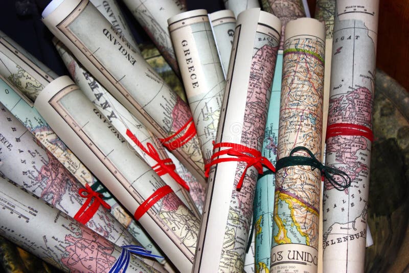
Collage with antique maps
Compass on the background maps
Old vintage map. Pirate and nautical theme grunge background.
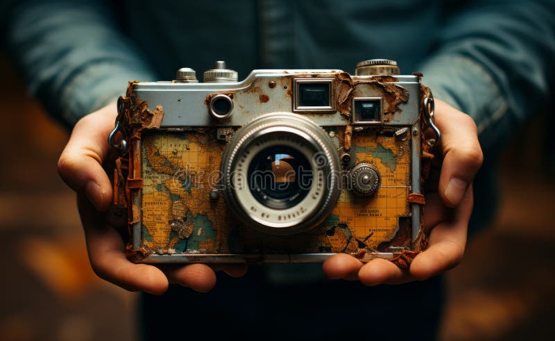
Vintage camera covered in old world maps
Illuminated Manuscript The island of Syros (Sire) in the Aegean Sea, from Book on Navigation, Walters Art Museum Ms. W.6
Illuminated Manuscript Argolikos (Anaboli) Bay, from Book on Navigation, Walters Art Museum Ms. W.658, fol.122b
Chalkis (Herke) island off Rhodes Island from Book on Navigation, Walters Art Museum Ms. W.658, fol.104a
Exploration
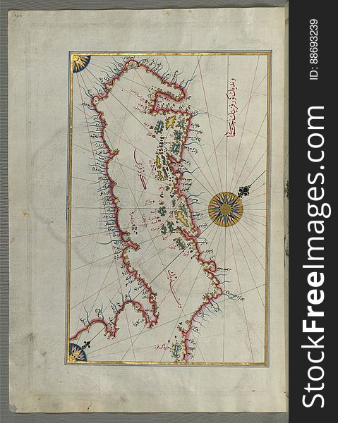
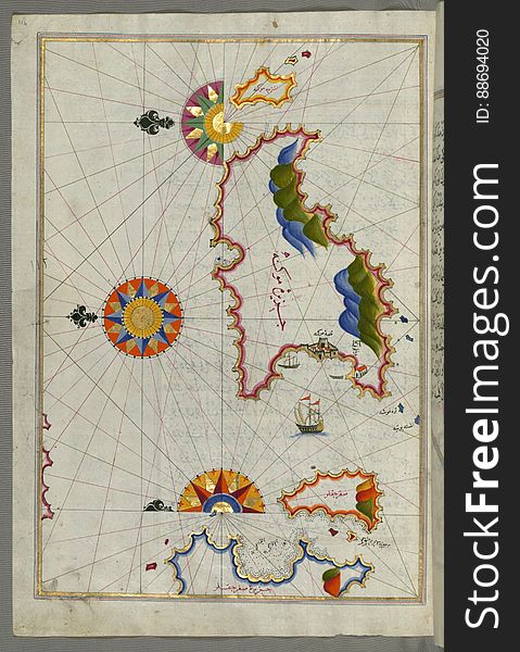
The Island of Midilli (Midillü, Mitylene, Lesvos) in the northeastern Aegean Sea, from Book on Navigation, Walters Art
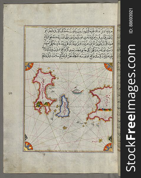
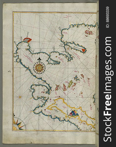
Illuminated Manuscript Small islands in the region of Naxos (Naḳşe) and Amorgos (Yamurgi) in the southeast
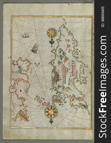
Illuminated Manuscript The Islands of Zakynthos (Zākīse), Kefalonia (Kefallinia, Kafālūnye) and Lefkada &
Compass on the background maps
Old world map
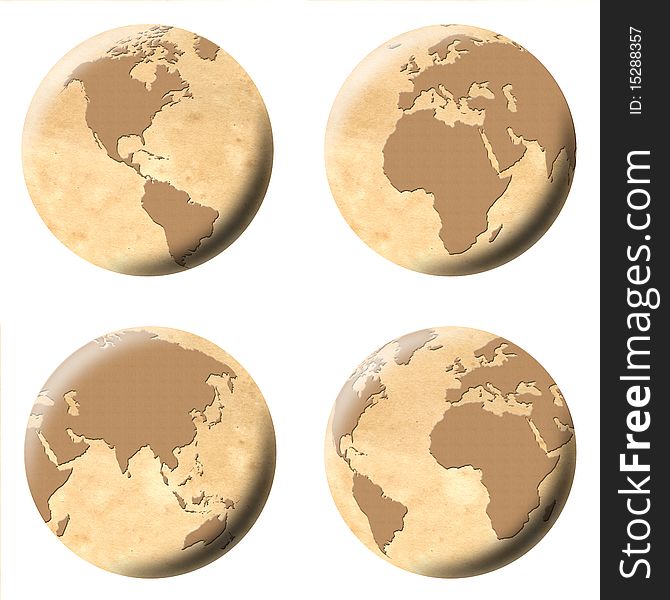
Old world globes
Old world maps
Mazzini-Genova-Liguria-Italy - Creative Commons by gnuckx
Illuminated Manuscript The islands of Delos and Rineia west of Mykonos island in the Aegean Sea, from Book on Navigation, Walters
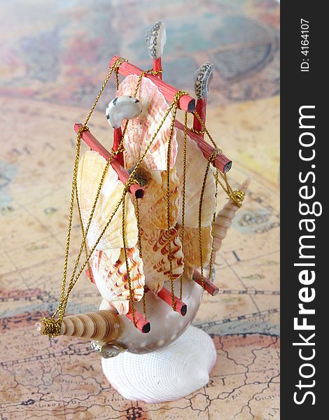
Old map and sea shell ship
The Anatolian Coast facing Samos, from Book on Navigation, Walters Art Museum Ms. W.658, fol.75b
Illuminated Manuscript Map of the coast of Andalusia with the city of Grenada (Gharnātah), from Book on Navigation, Wal
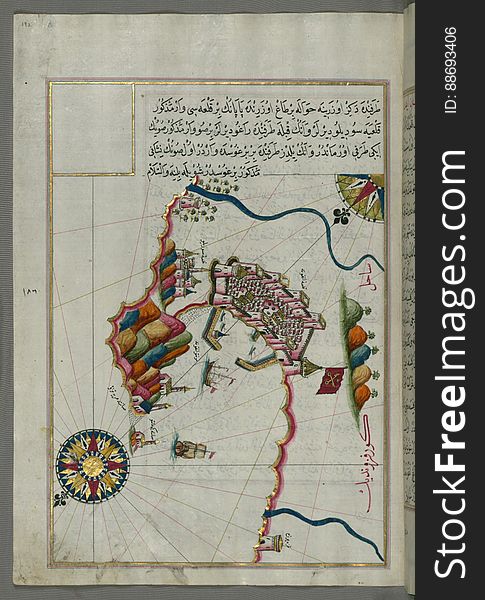
Detailed map of Chios (Sakiz, Ṣāqiz) Island with its fortress and other topographical features, from Book on Navigati
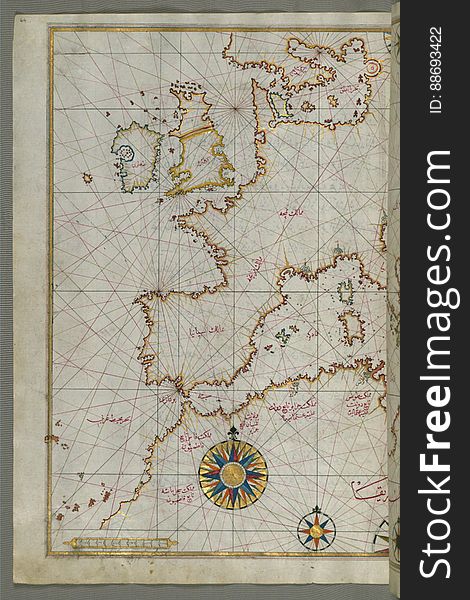
Map of western Europe and North Africa, from Book on Navigation, Walters Art Museum Ms. W.658, fol.64a
Old map of the world on a old parchment background. Vintage style. Elements of this Image Furnished by NASA.
Illuminated Manuscript Two small islands between Amorgos (Yamurgi) and Cos (Stancho, İstanköy) in the easter
Illuminated Manuscript Messiniakos Bay (Bay of Messini), fr, om Book on Navigation, Walters Art Museum Ms. W.658, fol.12
Old vintage ancient maps
Next page
1
/ 6
Home
Search for Old world maps free images


![To see more www.flickr.com/photos/gnuckx Genoa - Genova Genoa (Italian: Genova, pronounced [ˈdʒɛːnova]; Zena pronounced [ˈzeːna] in Genoese and Ligurian; Genua in Latin and, archaically, in English) is a city and an important seaport in northern Italy, the capital of the Province of Genoa and of the region of Liguria. The city has a population of about 610,000 and the urban area has a population of about 900,000. It is also called la Superba ("the Superb one") due to its glorious past. Part of the old city of Genoa was inscribed on the World Heritage List (UNESCO) in 2006 (see below). Main sights The main features of central Genoa include Piazza De Ferrari, around which are sited the Opera and the Palace of the Doges. There is also a house where Christopher Columbus is said to have been born. Strada Nuova (now Via Garibaldi), in the old city, was inscribed on the World Heritage List in 2006. This district was designed in the mid-16th century to accommodate Mannerist palaces of the city's most eminent families, including Palazzo Rosso (now a museum), Palazzo Bianco, Palazzo Grimaldi and Palazzo Reale. The famous art college, Musei di Strada Nuova and the Palazzo del Principe are also located on this street. Other landmarks of the city include St. Lawrence Cathedral (Cattedrale di San Lorenzo), the Old Harbour (Porto Antico), transformed into a mall by architect Renzo Piano, and the famous cemetery of Staglieno, renowned for its monuments and statues. The Edoardo Chiossone Museum of Oriental Art has one of the largest collections of Oriental art in Europe. Genoa also has a large aquarium located in the above-mentioned old harbour. The port of Genoa also contains an ancient lighthouse, called the "Torre della Lanterna" (i.e., "the tower of the lantern"). Parks Genoa has 82,000 square metres of public parks in the city centre, such as Villetta Di Negro which is right in the heart of the town, overlooking the historical centre. Many bigger green spaces are situated outside the centre: in the east are the Parks of Nervi (96,000 sq m.) overlooking the sea, in the west the beautiful gardens of Villa Durazzo Pallavicini (265,000 sq m.). The numerous villas and palaces of the city also have their own gardens, like Palazzo del Principe, Villa Doria, Palazzo Bianco and Palazzo Tursi, Palazzo Nicolosio Lomellino, Albertis Castle, Villa Croce, Villa Imperiale Cattaneo, Villa Bombrini, and many more. Promenades Corso Italia runs for 2.5 kilometres in the quartiere of Albaro, linking the two other neighbourhood of Foce and Boccadasse. The promenade, which was originally built in 1908, overlooks the sea, towards the promontory of Portofino, and the main landmarks are the small lighthouse of Punta Vagno, the San Giuliano Abbey, the Lido of Albaro. Old harbor The Porto Antico ("old harbour" in Italian) is the ancient part of the port of Genoa. The Genoese architect Renzo Piano redeveloped the area, restoring the historical buildings (like the Cotton warehouses) and creating new landmarks like the Aquarium, the Bigo and recently the "Bolla" (the Sphere). The main touristic attractions of this area are the famous Aquarium and the Museum of the Sea (MuMA). In 2007 these attractions had almost 1.7 million visitors. genova liguria italia italy sea sun landscape free europe europa wallpaper castielli resolution vacation holiday travel flight creativecommons creative commons zero CC0 cc0 CC cc panoramio flickr google gnu gimp. To see more www.flickr.com/photos/gnuckx Genoa - Genova Genoa (Italian: Genova, pronounced [ˈdʒɛːnova]; Zena pronounced [ˈzeːna] in Genoese and Ligurian; Genua in Latin and, archaically, in English) is a city and an important seaport in northern Italy, the capital of the Province of Genoa and of the region of Liguria. The city has a population of about 610,000 and the urban area has a population of about 900,000. It is also called la Superba ("the Superb one") due to its glorious past. Part of the old city of Genoa was inscribed on the World Heritage List (UNESCO) in 2006 (see below). Main sights The main features of central Genoa include Piazza De Ferrari, around which are sited the Opera and the Palace of the Doges. There is also a house where Christopher Columbus is said to have been born. Strada Nuova (now Via Garibaldi), in the old city, was inscribed on the World Heritage List in 2006. This district was designed in the mid-16th century to accommodate Mannerist palaces of the city's most eminent families, including Palazzo Rosso (now a museum), Palazzo Bianco, Palazzo Grimaldi and Palazzo Reale. The famous art college, Musei di Strada Nuova and the Palazzo del Principe are also located on this street. Other landmarks of the city include St. Lawrence Cathedral (Cattedrale di San Lorenzo), the Old Harbour (Porto Antico), transformed into a mall by architect Renzo Piano, and the famous cemetery of Staglieno, renowned for its monuments and statues. The Edoardo Chiossone Museum of Oriental Art has one of the largest collections of Oriental art in Europe. Genoa also has a large aquarium located in the above-mentioned old harbour. The port of Genoa also contains an ancient lighthouse, called the "Torre della Lanterna" (i.e., "the tower of the lantern"). Parks Genoa has 82,000 square metres of public parks in the city centre, such as Villetta Di Negro which is right in the heart of the town, overlooking the historical centre. Many bigger green spaces are situated outside the centre: in the east are the Parks of Nervi (96,000 sq m.) overlooking the sea, in the west the beautiful gardens of Villa Durazzo Pallavicini (265,000 sq m.). The numerous villas and palaces of the city also have their own gardens, like Palazzo del Principe, Villa Doria, Palazzo Bianco and Palazzo Tursi, Palazzo Nicolosio Lomellino, Albertis Castle, Villa Croce, Villa Imperiale Cattaneo, Villa Bombrini, and many more. Promenades Corso Italia runs for 2.5 kilometres in the quartiere of Albaro, linking the two other neighbourhood of Foce and Boccadasse. The promenade, which was originally built in 1908, overlooks the sea, towards the promontory of Portofino, and the main landmarks are the small lighthouse of Punta Vagno, the San Giuliano Abbey, the Lido of Albaro. Old harbor The Porto Antico ("old harbour" in Italian) is the ancient part of the port of Genoa. The Genoese architect Renzo Piano redeveloped the area, restoring the historical buildings (like the Cotton warehouses) and creating new landmarks like the Aquarium, the Bigo and recently the "Bolla" (the Sphere). The main touristic attractions of this area are the famous Aquarium and the Museum of the Sea (MuMA). In 2007 these attractions had almost 1.7 million visitors. genova liguria italia italy sea sun landscape free europe europa wallpaper castielli resolution vacation holiday travel flight creativecommons creative commons zero CC0 cc0 CC cc panoramio flickr google gnu gimp](https://images.stockfreeimages.com/15468/sfixl/154686160.jpg)