Browse categories
Log in
Sign up
Mediterranean Map Free Stock Images
Safe search
Include:
RF-LL
Public Domain
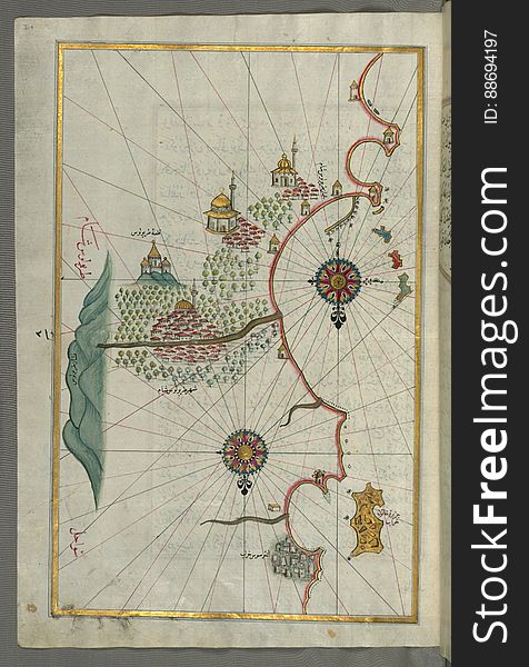
Illuminated Manuscript, Map of two unnamed islands between Dubrovnik and Split (Croatia) from Book on Navigation, Walter
Illuminated Manuscript, Map of the Algerian coast from the port of Bejaia (Bajāyah) as far as Annaba (Balad al-ʿU
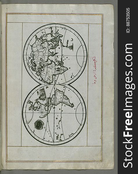
Illuminated Manuscript, World map in a double hemisphere, from Book on Navigation, Walters Art Museum Ms. W.658, fol. 40b
Italy Travel Map.
Illuminated Manuscript, Map of the northern coast of Sicily (here called the island of Messina, Mesīne) from Milazzo &#
Map of Algeria country on the globe
Biomes. Terrestrial ecosystem
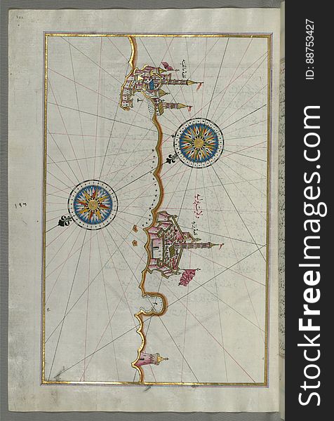
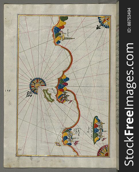
Illuminated Manuscript, Map of the Libyan coast towards to Egyptian border from Book on Navigation, Walters Art Museum Ms. W.658
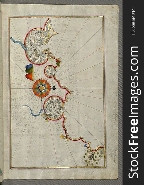
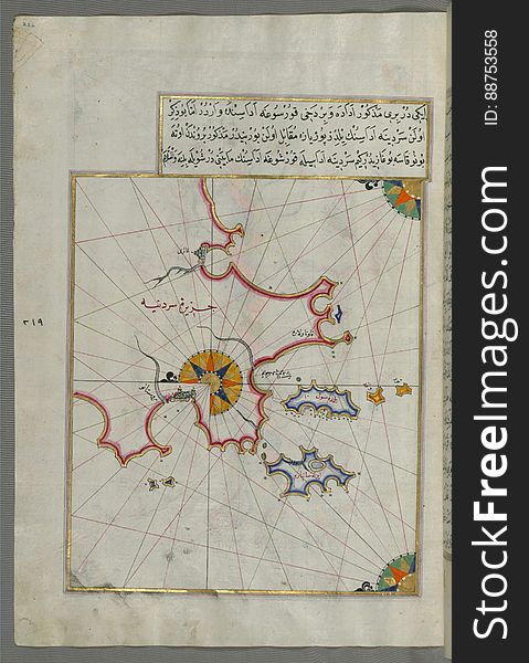
Illuminated Manuscript, Map of a fragment of the Island of Crete from Book on Navigation, Walters Art Museum Ms. W.658, fol.351b
Illuminated Manuscript, Map of the towns Vasto and Termoli on the Italian coast from Book on Navigation, Walters Art Museum Ms. W.
Outlined vector map of the world
Middle East - High resolution map
Illuminated Manuscript, Map of the Italian coast from Trani as far as Molfetta from Book on Navigation, Walters Art Museum Ms. W.6
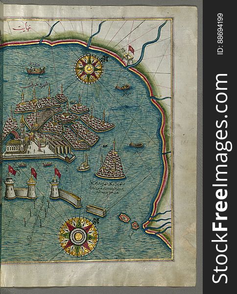
Illuminated Manuscript, Map of the city of Alexandria (Iskandarīyah) (Egypt) from Book on Navigation, Walters
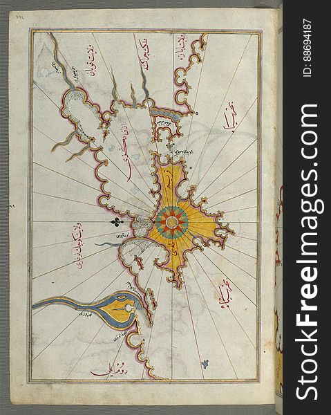
Illuminated Manuscript, Map of the island of Marmara in the sea of Marmara from Book on Navigation, Walters Art Museum Ms. W.658
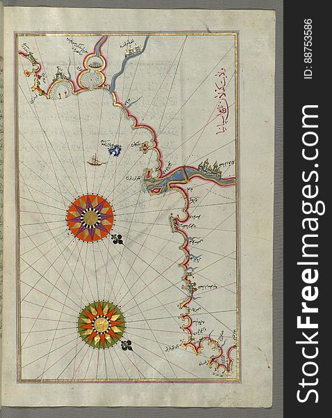
Illuminated Manuscript, Map of the Adriatic coastline from Dubrovnik north from Book on Navigation, Walters Art Museum Ms.W.658, f
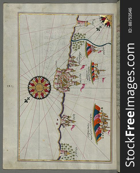
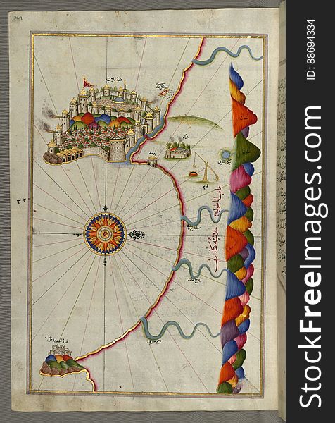
Illuminated Manuscript, Map of the city of Tripoli (Ṭarābulus–i Shām) (Lebanon) from Book on Navigation
Illuminated Manuscript, Map of the Island of Mljet (Mīlede) off Dubrovnik (Croatia) from Book on Navigation
Illuminated Manuscript, Map of the coastline between the cities of Koper (Capodistria, Dishtriye) and Muggia (Milj
Illuminated Manuscript, Map of the island of Unije (Uniye) south of Lošinj (Feghāle) island (Croatia&#x
Cyprus map and flag pin
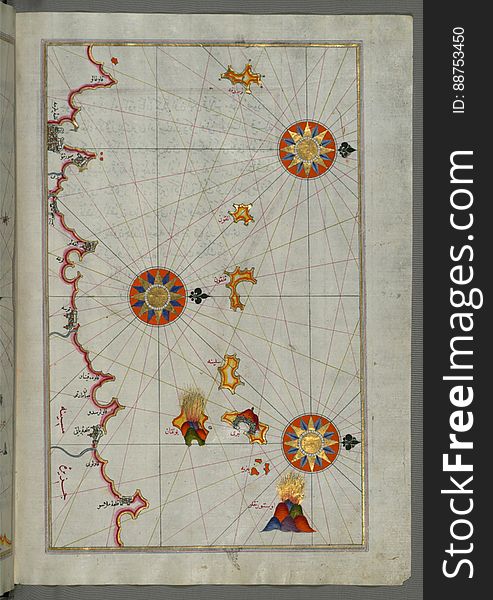
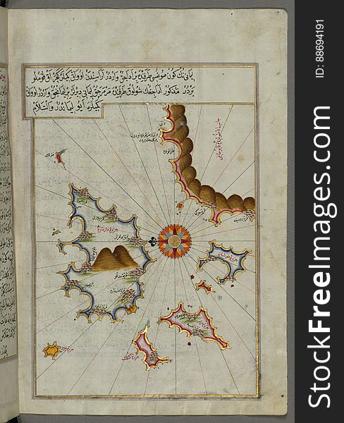
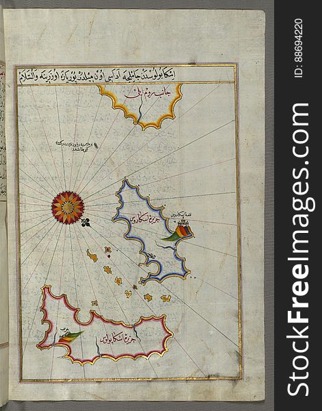
Illuminated Manuscript, Map of some unidentified islands off the southern Anatolian coast from Book on Navigation, Walters Art Mus
Illuminated Manuscript, Map of the Italian coast from Lecce (Laj) to Gallipoli (Kelibūlī) (towards the
Illuminated Manuscript, Map of the western Italian coast from Pisa to the French border, including the towns of Genoa (Jinūz
Illuminated Manuscript, Map of the coast north of the Medulin fortress (Croatia) from Book on Navigation, Walters Art Mu
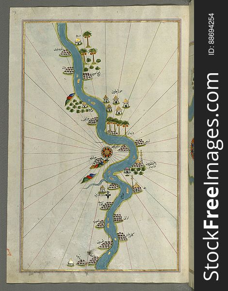
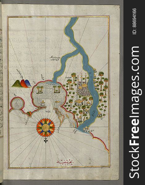
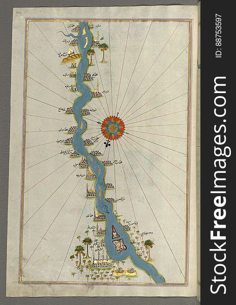
Illuminated Manuscript, Map of the river Nile with various oases on each side from Book on Navigation, Walters Art Museum Ms. W.65
Illuminated Manuscript, Map of the island of Krk (Veglia, Vake Venedīk) (Croatia) from Book on Navigation, Wa
Illuminated Manuscript, Map of Sea of Marmara, Bosporus strait and the Black Sea from Book on Navigation, Walters Art Museum Ms. W
Algeria flag pin on map
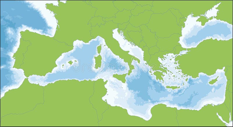
Mediterranean Sea map
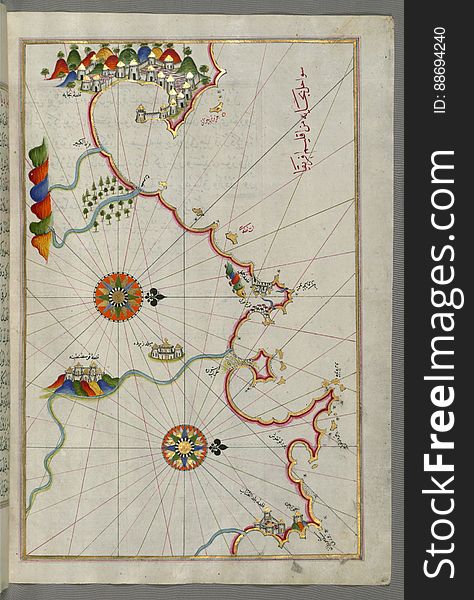
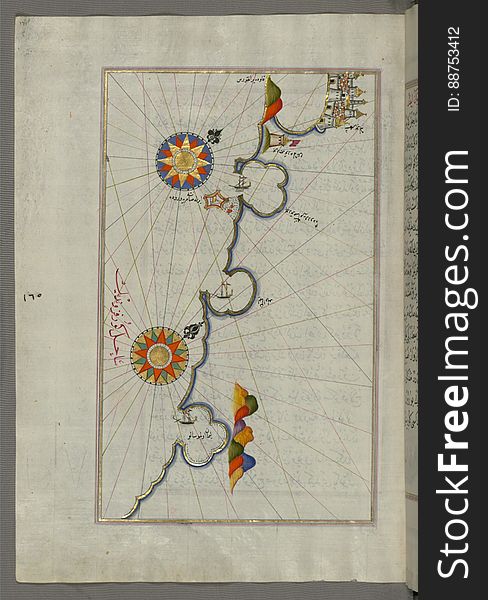
Illuminated Manuscript, Map of the Italian coast around around Peschici north of Mafredonia from Book on Navigation, Walters Art M
Illuminated Manuscript, Map of the town of Lanciano (Lansāne) and the surrounding fortresses from Book on Navigation, W
Road map of the italian mediterranean island Sicily with flag
Illuminated Manuscript, Map of the eastern part of the city of Venice (Venedīk) from Book on Navigation, Walters Art Mu
Illuminated Manuscript, Map of the eastern coast of Calabria with the towns of Crotone and Catanzaro from Book on Navigation, Walt
Illuminated Manuscript, Map of the coastline and the islands between Šibenik and Zadar (Zādare) (Croatia) fr
Europe Physical Map
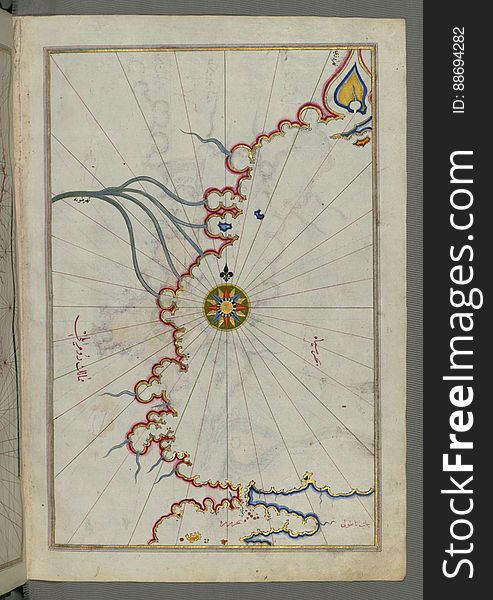
Illuminated Manuscript, Map from Book on Navigation, Walters Art Museum Ms. W.658, fol.367b
Illuminated Manuscript, Map of unidentified islands off the southern Anatolian coast from Book on Navigation, Walters Art Museum
Illuminated Manuscript, Map of some unidentified islands off the southern Anatolian coast from Book on Navigation, Walters Art Mu
Illuminated Manuscript, Map of part of the coastline of the Sea of Marmara, with the town of Kavak (Qavāq) from Book on
Illuminated Manuscript, Map of the city of Damietta (Shahr-i Dumyād) on the Egyptian coast from Book on Navigation, Wal
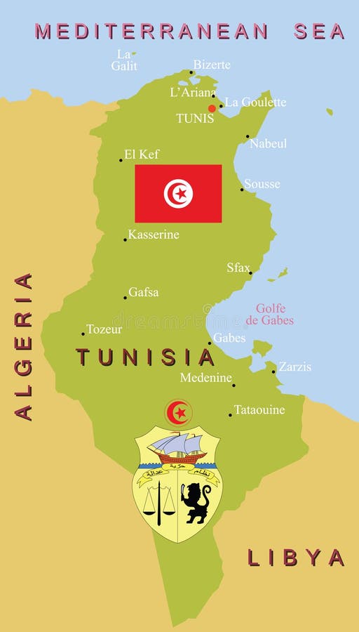
Tunisia map.
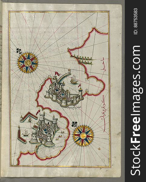
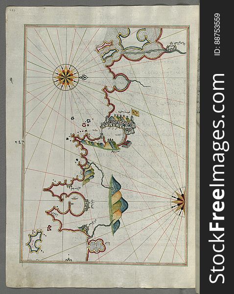
Illuminated Manuscript, Map of the fortress of Alanya (ʿAlāʾiye, Alaiye) (Turkey) from Book on Navigation
Illuminated Manuscript, Map of the coastline form Rovinj as far as the fortress of Poreč (Parenzo, Brānse) (Croat
Illuminated Manuscript, Map of the coastline from Pula to Rovinj (Rūvinye) (Croatia) from Book on Navigation
Illuminated Manuscript, Map from Book on Navigation, Walters Art Museum Ms. W.658, fol.363b
Illuminated Manuscript, Map of the Crimea (Qrīm), the Sea of Azov, and the mouth of the Dnieper from Book on Navigation
Illuminated Manuscript, Map of the French coast around Marseille (Mārsilye) from Book on Navigation, Walters Art Museum
Earth at night, view of city lights showing human activity in Italy from space
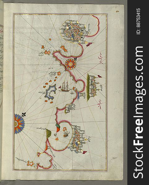
Illuminated Manuscript, Map of the Anatolian coast and the cities Adana (Antioch in Cilicia) and Tarsus (Turkey
Illuminated Manuscript, Map of the coastline from Umag (Umago, Ūmāghū) as far as Piran (Pirānū) (Slo
Illuminated Manuscript, Map of the coast of Catalonia (Spain) with the ports of Barcellona (Bārselūniye) and
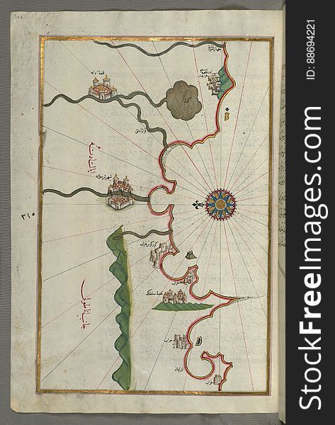
Illuminated Manuscript, Map of a group of islands north of Korčula (Qūrsūlah), probably Hvar and Brač (Croatia&
Young woman traveling to Italy.Visiting Taormina,Sicily,Italy.Woman traveler enjoying charming Mediterranean coastal city.
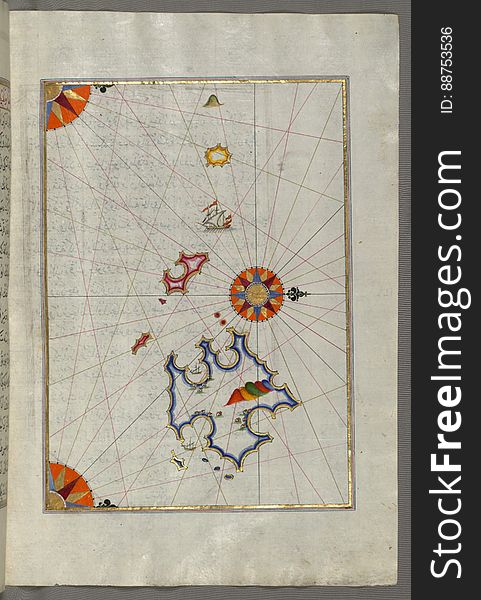
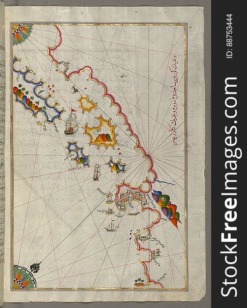
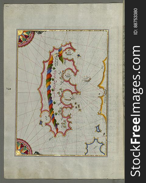
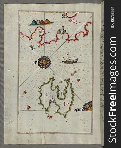
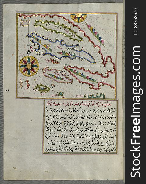
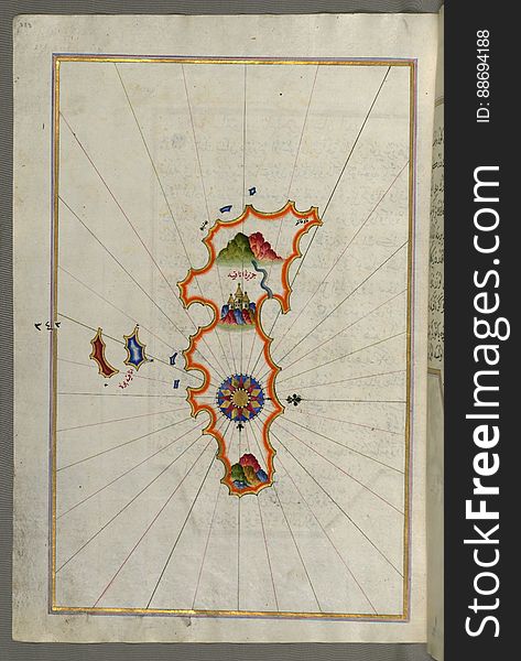
Illuminated Manuscript, Map of the Island of Anafi (Anāfiyah), east of Thera (Thira) from Book on Navigation
Illuminated Manuscript, Map of unmarked part of the Egyptian coastline from Book on Navigation, Walters Art Museum Ms. W.658, fol.
Illuminated Manuscript, Map of oases and villages along the river Nile as far as Sīdī Mūsá from Book on Navigation, Walters Ar
Satellite view of the Gaza Strip is a self-governing Palestinian territory
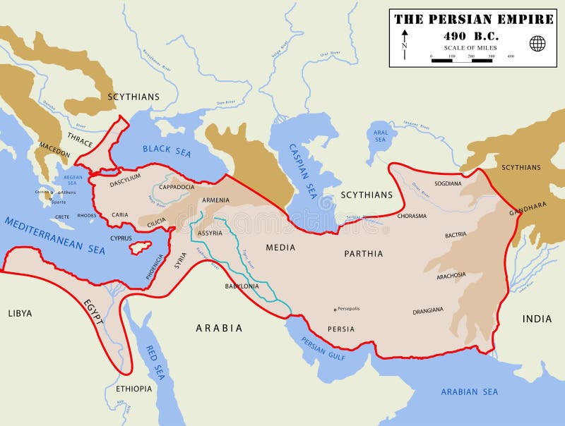
Persian Empire map (detailed)
Illuminated Manuscript, Map of two small islands of the coast of Sardinia (Sardinye) from Book on Navigation, Walters Ar
Illuminated Manuscript, Map of the coast from Medulin as far as Pula (Croatia) from Book on Navigation, Walters Art Muse
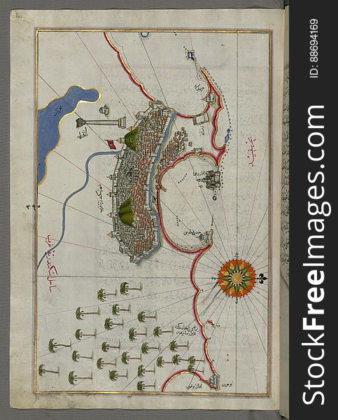
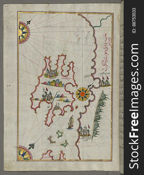
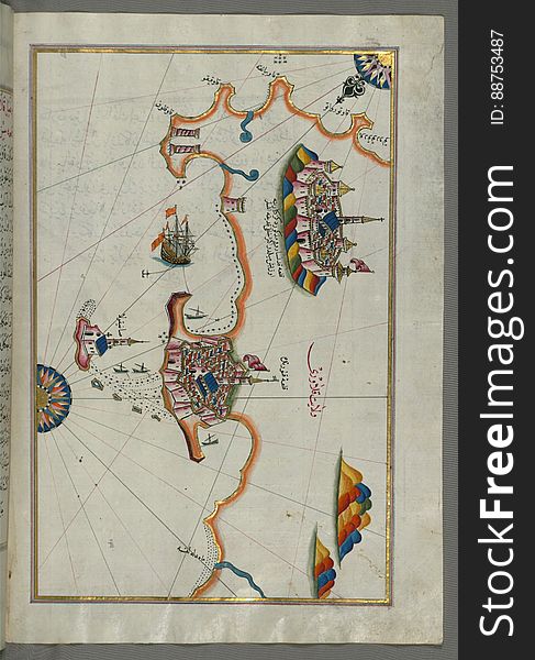
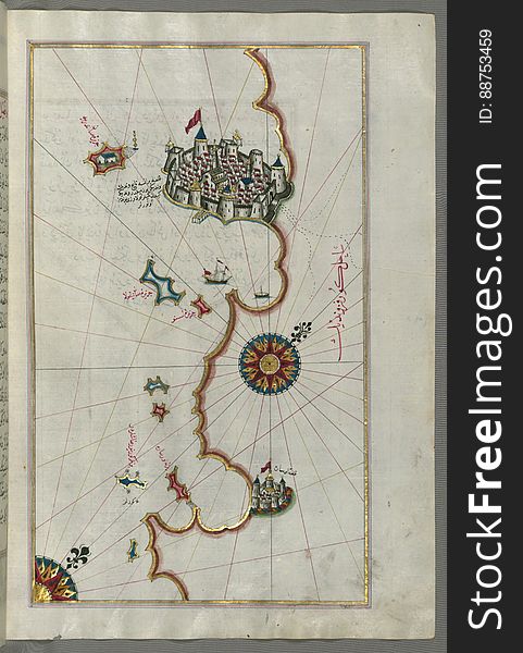
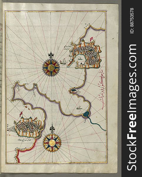
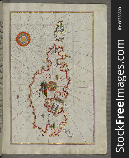
Illuminated Manuscript, Map of the Island of Malta (Māltah) from Book on Navigation, Walters Art Museum Ms. W.658, fol
Next page
4
/ 9
Home
Search for Mediterranean map free images