Browse categories
Log in
Sign up
Lebanon Free Stock Images
Related searches:
beirut lebanon
south africa
olive trees
madagascar
lebanese
india
Safe search
Include:
RF-LL
Public Domain
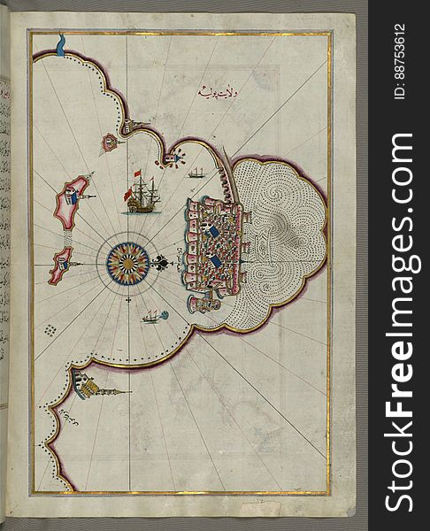
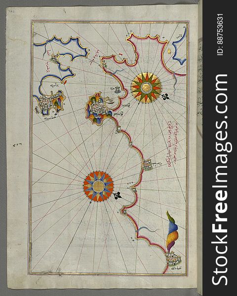
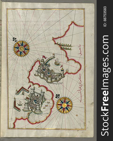
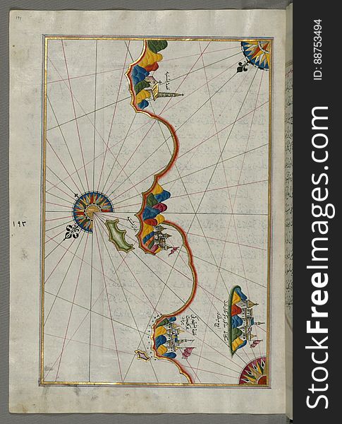
Illuminated Manuscript, Map of the Algerian coast around Mostaganem (Mustaghānīm) from Book on Navigation, Walters Art
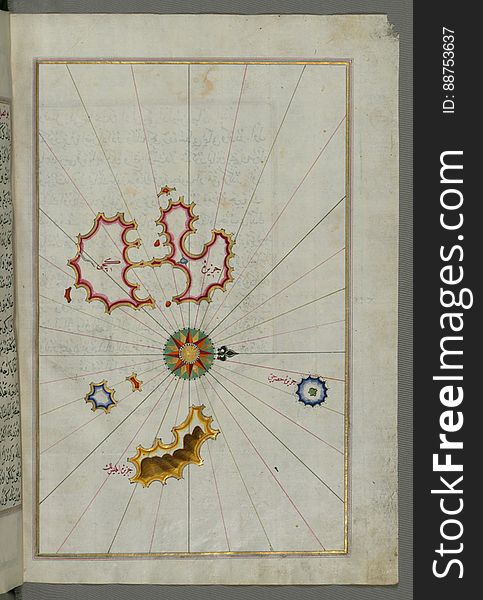
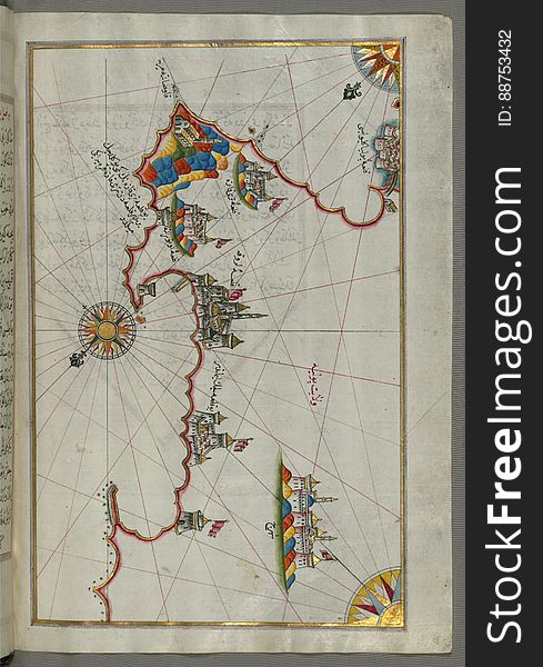
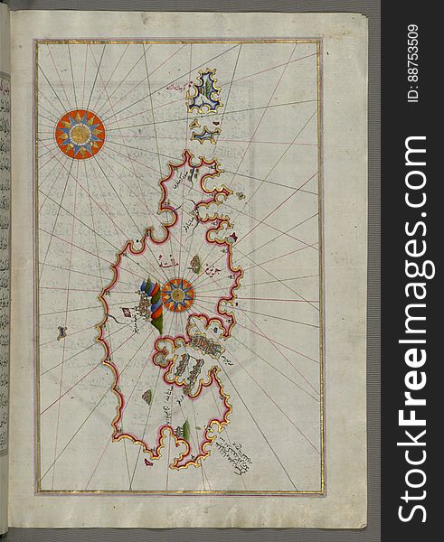
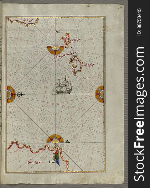
Illuminated Manuscript, Map of the island of Minorca(Minārqū) from Book on Navigation, Walters Art Museum Ms. W.658, f
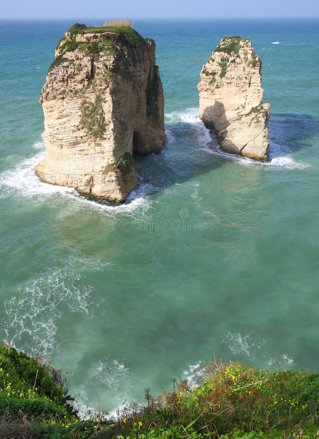
Pigeon Rocks, Beirut, Lebanon
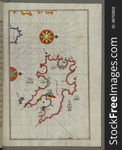
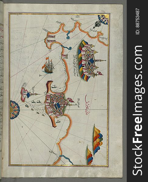
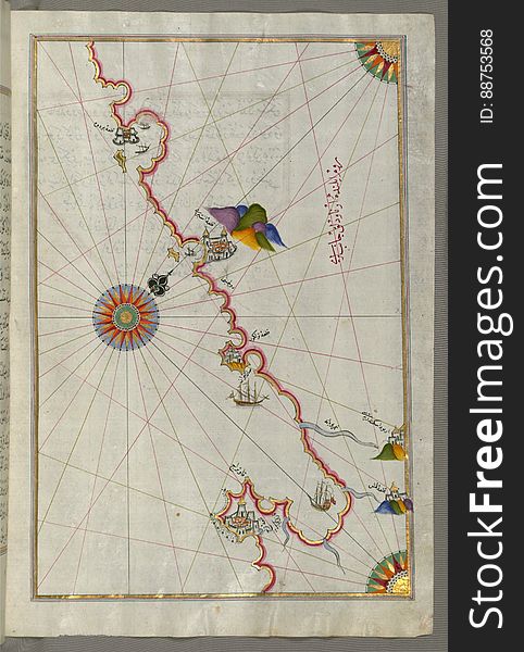
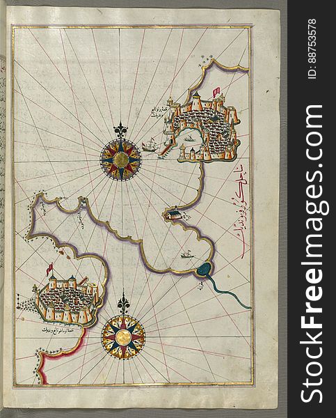
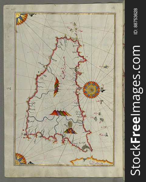
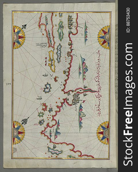
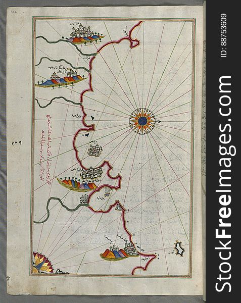
Illuminated Manuscript, Map from Book on Navigation, Walters Art Museum Ms. W.658, fol.365b
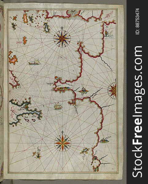
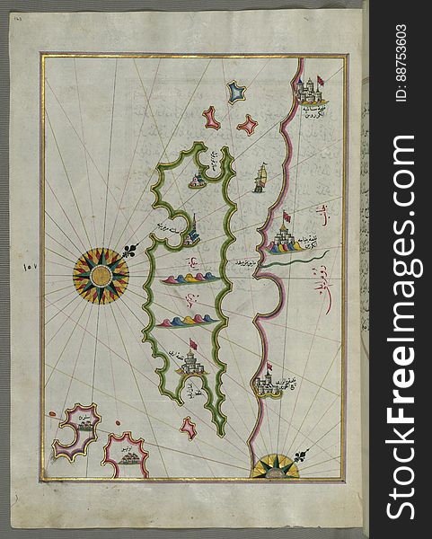
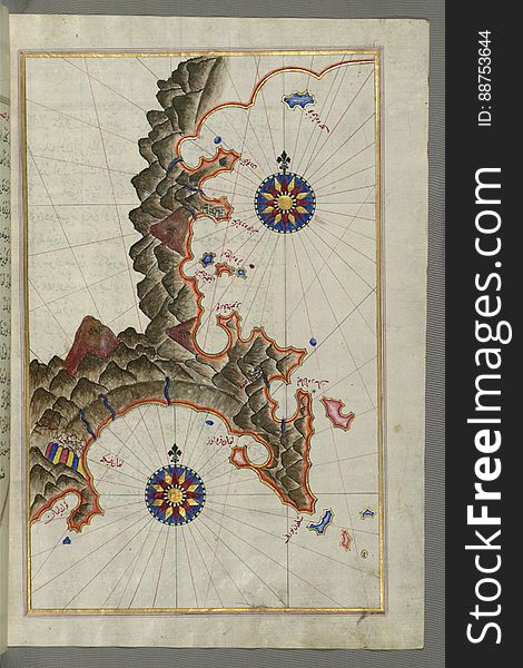
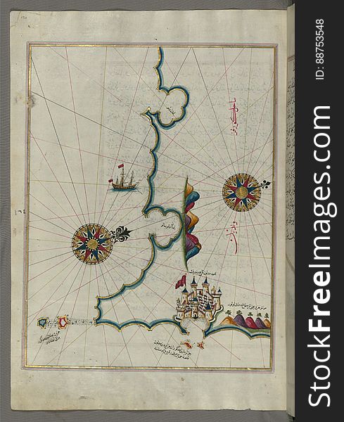
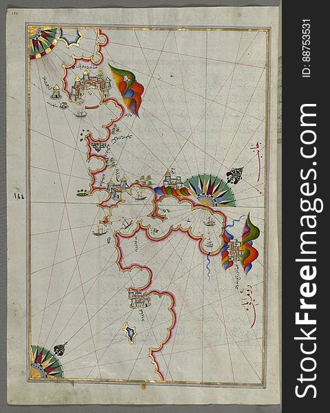
Illuminated Manuscript, Western part of the Peloponnese (Morea, Mora) peninsula opposite the Zakynthos (Zante, Zāk
Illuminated Manuscript, Map of the eastern coast of Calabria with the towns of Crotone and Catanzaro from Book on Navigation, Walt
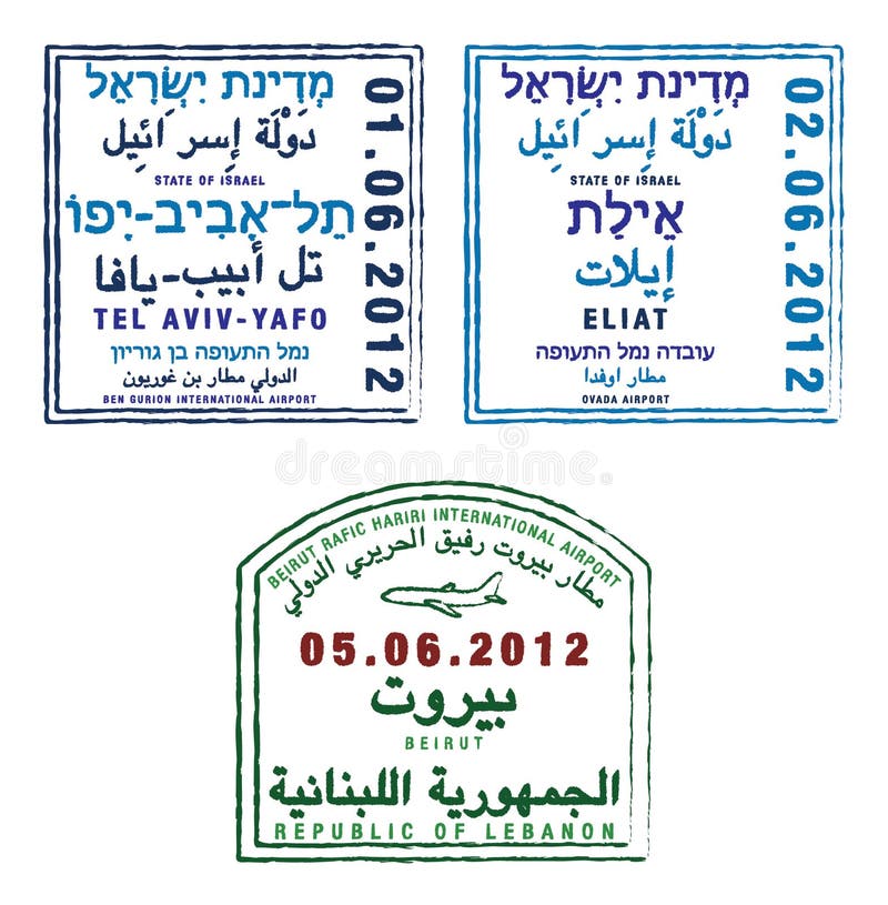
Israel and Lebanon
Illuminated Manuscript, The area between Corfu (Kerkira, Kūrfūz) and Paxi (Paxoi) islands from Book on Navig
Illuminated Manuscript, Map of the northern coast of Sicily (here called the island of Messina, Mesīne) from Milazzo &#
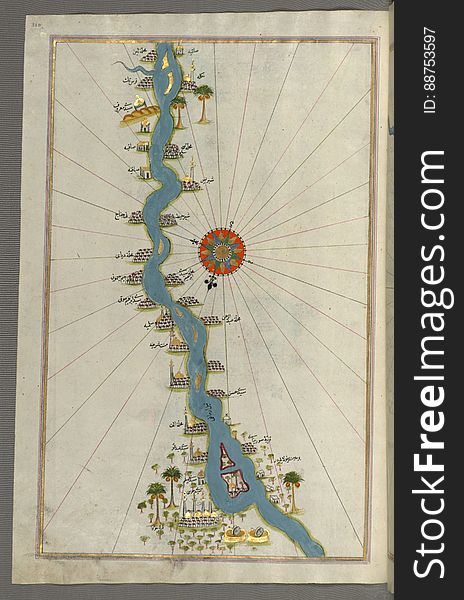
Illuminated Manuscript, Map of oases and villages along the river Nile as far as Sīdī Mūsá from Book on Navigation, Walters Ar
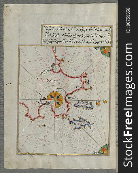
Illuminated Manuscript, Map of two small islands of the coast of Sardinia (Sardinye) from Book on Navigation, Walters Ar
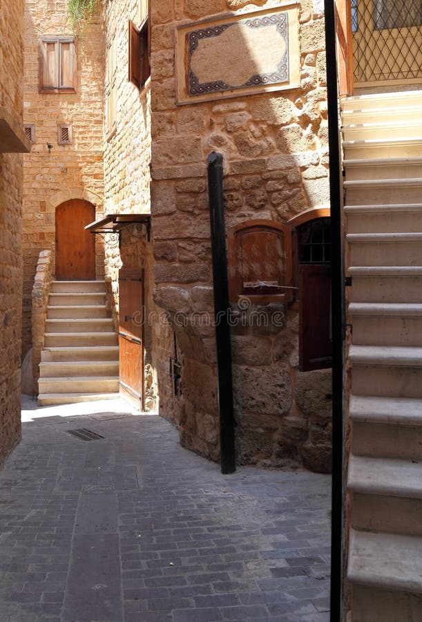
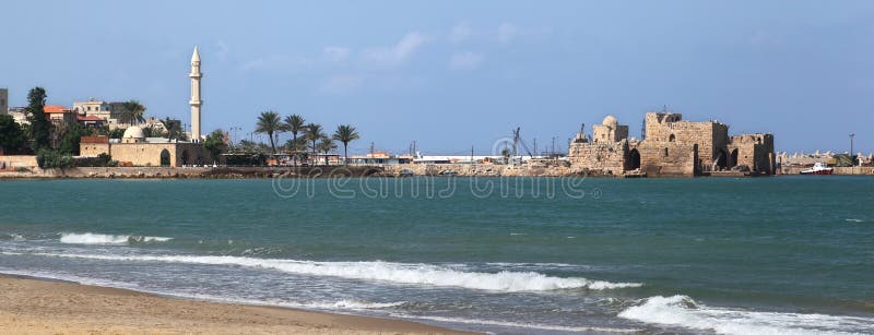
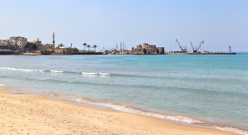
Sidon old town area, Lebanon
Illuminated Manuscript, Map of the town of Urbino and the surrounding area from Book on Navigation, Walters Art Museum Ms. W.658
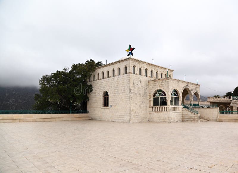
Tomb of Prophet Job, Lebanon
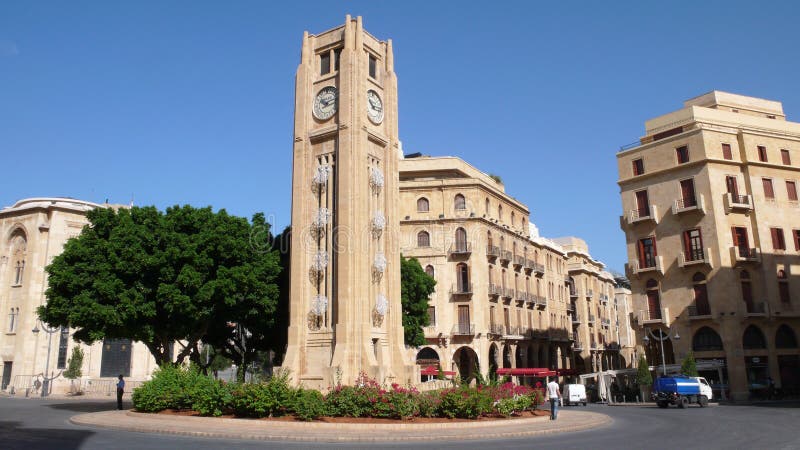
Downtown Beirut. Lebanon
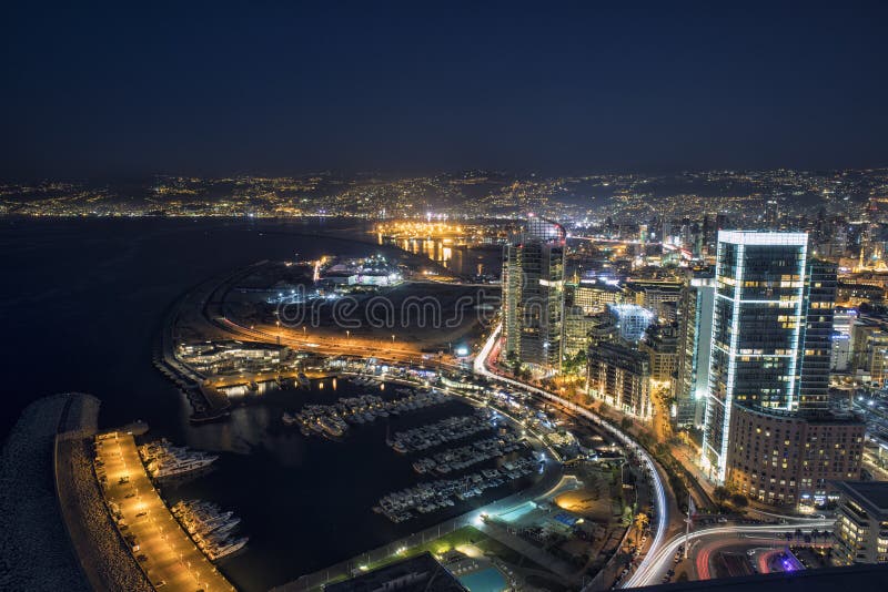
Aerial night shot of Beirut Lebanon , City of Beirut, Beirut city scape
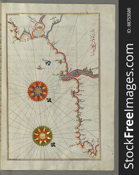
Illuminated Manuscript, The Adriatic coast from Drač (Durezzo, Trāj) north of Karaburun as far as Budva from Book on
Illuminated Manuscript, Map of The island of Rab (Arbe) (Croatia) from Book on Navigation, Walters Art Museum
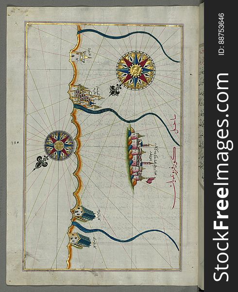
Illuminated Manuscript, Map of the Libyan coast from Tripoli (Ṭarābulus-i Maghrib)east towards Egypt from Book on Nav
Illuminated Manuscript, Map of the island of Unije (Uniye) south of Lošinj (Feghāle) island (Croatia&#x
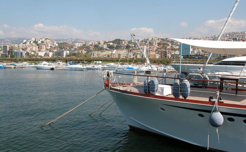
Yachting marina beirut Lebanon
Illuminated Manuscript, Map of the city of Taranto (Tarānde) in the province of Puglia (Pūlye)(Western
Illuminated Manuscript, Map of the Italian coast from Lecce (Laj) to Gallipoli (Kelibūlī) (towards the
Illuminated Manuscript, Map of the coastline from Umag (Umago, Ūmāghū) as far as Piran (Pirānū) (Slo
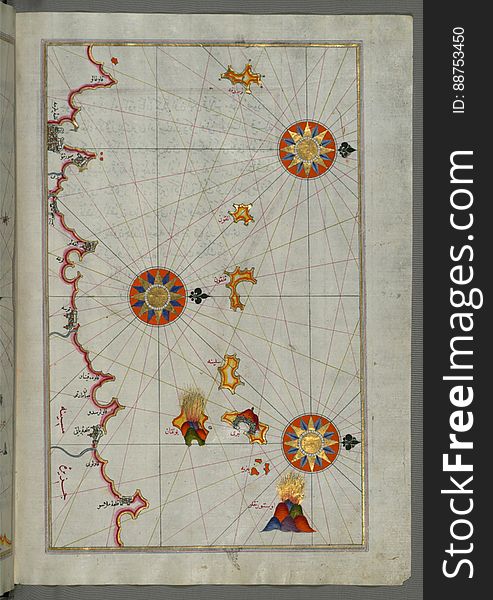
Illuminated Manuscript, Map of the Anatolian coast east of Finike from Book on Navigation, Walters Art Museum Ms. W.658, fol.336b
Illuminated Manuscript, Map of the French coast around Marseille (Mārsilye) from Book on Navigation, Walters Art Museum
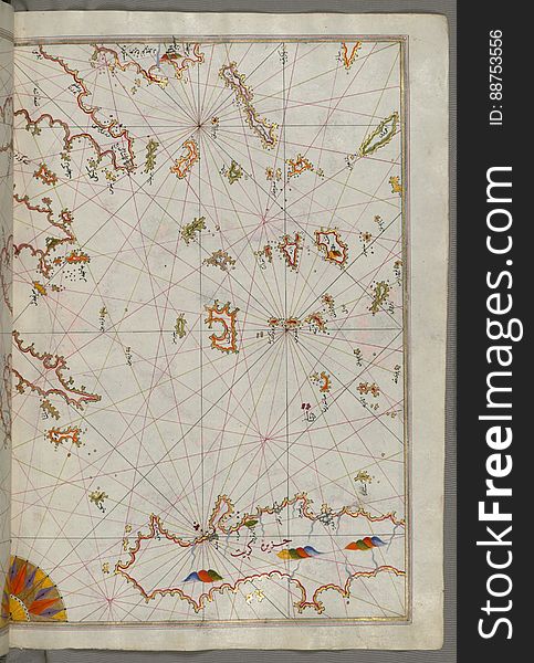
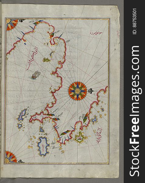
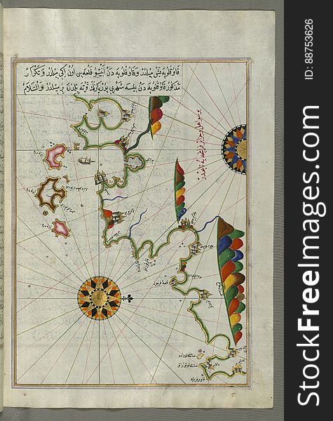
Illuminated Manuscript The Cyclades (Kikladhes) islands between the Peloponnese (Morea, Mora) peninsula and Cr
Sidon Coastline, Lebanon
Illuminated Manuscript, Map of the coast around Narbonne (Nārbūnah) from Book on Navigation, Walters Art Museum Ms. W.
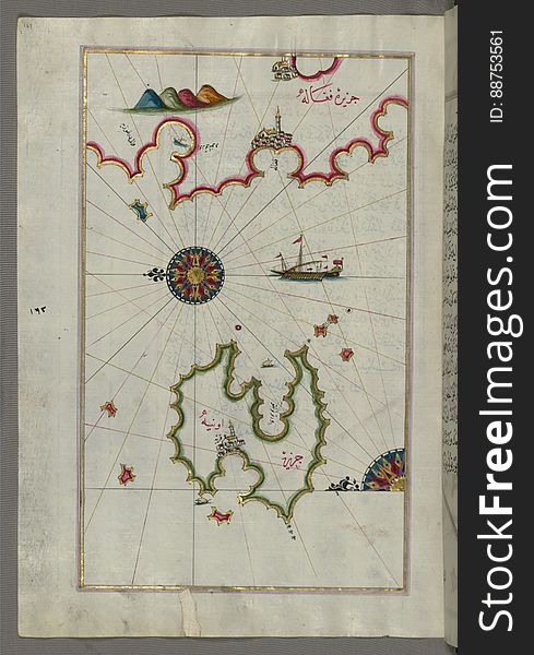
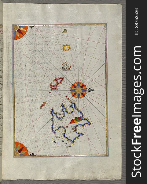
Illuminated Manuscript, The Island of Leros (Līryūs) in the eastern Aegean Sea, from Book on Navigation, Walters Art M
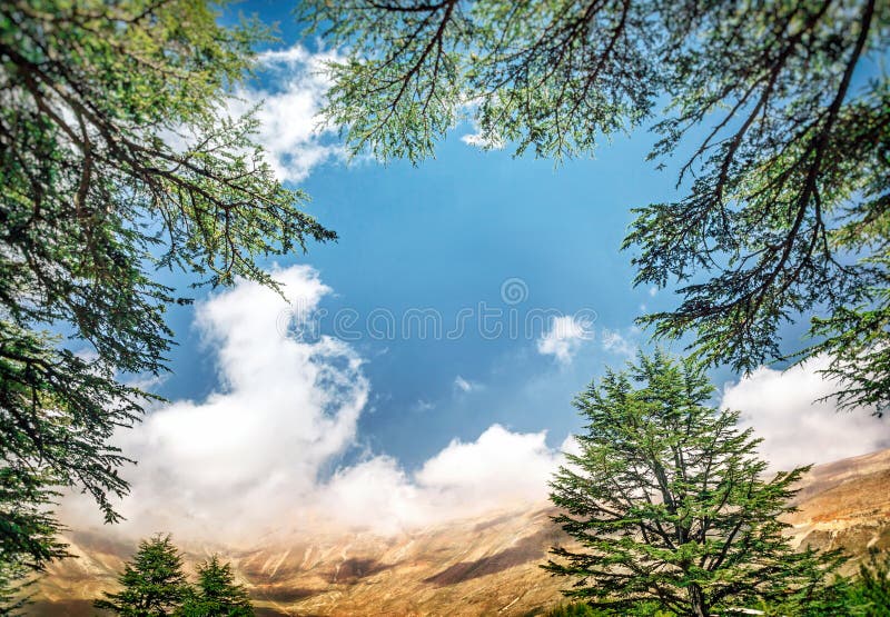
Cedars of Lebanon
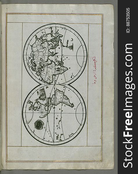
Illuminated Manuscript, World map in a double hemisphere, from Book on Navigation, Walters Art Museum Ms. W.658, fol. 40b
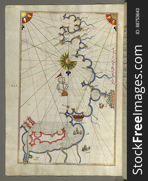
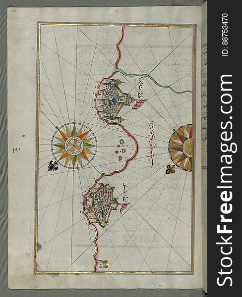
Illuminated Manuscript Argolikos (Anaboli) Bay, from Book on Navigation, Walters Art Museum Ms. W.658, fol.122b
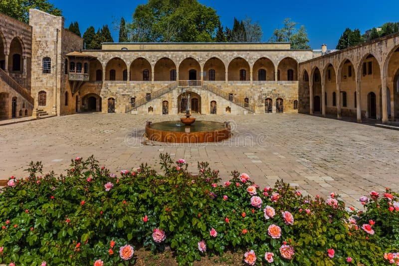
Emir Bachir Chahabi Palace Beit ed-Dine Lebanon
Illuminated Manuscript, Map of the Strait of Gibraltar with the cities of Gibraltar (Jabal-i Fatḥ) and Ceuta (Sap
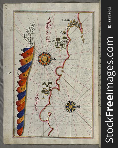
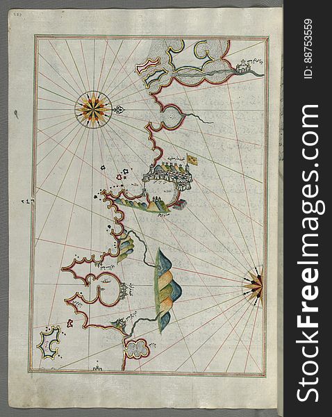
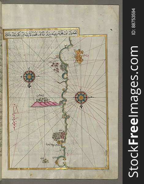
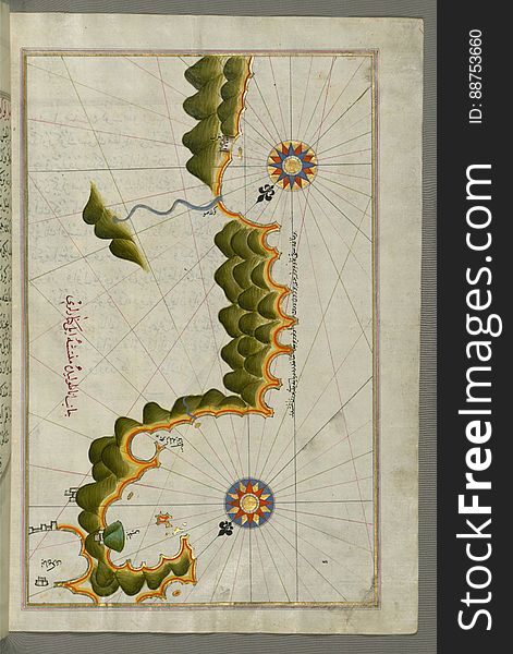
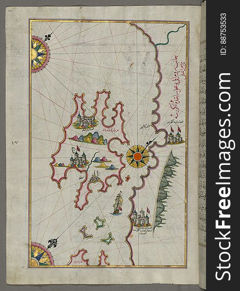
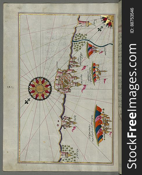
Illuminated Manuscript, Map of the eastern Mediterranean coast beginning with the island of Khātūn as far as Latakia (Lādh
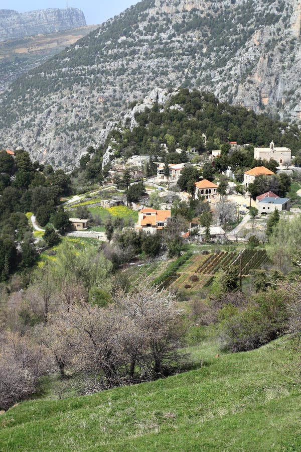
Lebanon Mountain Village
Illuminated Manuscript, Upper Aegean Sea with the islands of Imbros (Imroz, Gökçeada) and Bozca (Tenedos), f
Illuminated Manuscript, Map of the coastline between the cities of Koper (Capodistria, Dishtriye) and Muggia (Milj
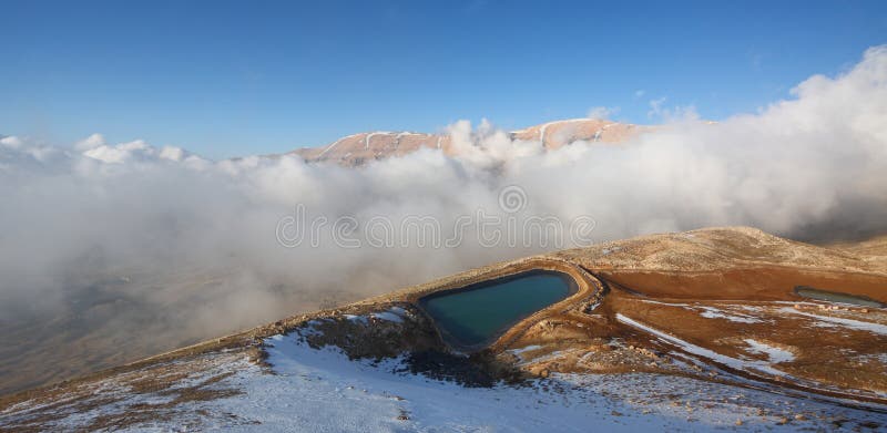
Qornet el- Sawda, Lebanon
Illuminated Manuscript, Map of the Island of Malta (Māltah) from Book on Navigation, Walters Art Museum Ms. W.658, fol
Illuminated Manuscript, Map of the Island of Sicily (Çiçilye) from Book on Navigation, Walters Art Museum Ms. W.658, f
Illuminated Manuscript, Map of the Adriatic coastline from Dubrovnik north from Book on Navigation, Walters Art Museum Ms.W.658, f
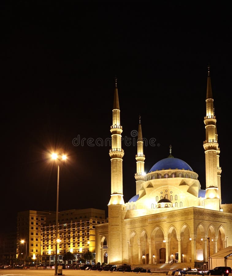
Mohammad El-Amine Mosque, Beirut- Lebanon
Illuminated Manuscript, Map of the Libyan coast as far as Benghazi from Book on Navigation, Walters Art Museum Ms. W.658, fol.293a
Illuminated Manuscript, Map of the coastline form Rovinj as far as the fortress of Poreč (Parenzo, Brānse) (Croat
Illuminated Manuscript, Map of the Italian coast around around Peschici north of Mafredonia from Book on Navigation, Walters Art M
Illuminated Manuscript Two small islands between Amorgos (Yamurgi) and Cos (Stancho, İstanköy) in the easter
Illuminated Manuscript, Map of the coastline and the islands between Šibenik and Zadar (Zādare) (Croatia) fr
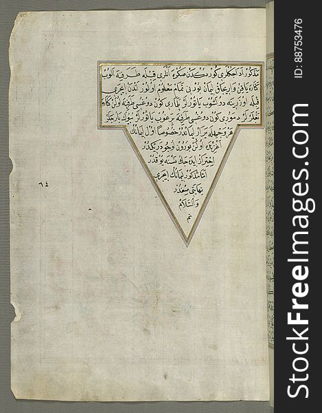
Illuminated Manuscript from Book on Navigation, Walters Art Museum Ms. W.658, fol.68a
Illuminated Manuscript, Map of the coast north of the Medulin fortress (Croatia) from Book on Navigation, Walters Art Mu
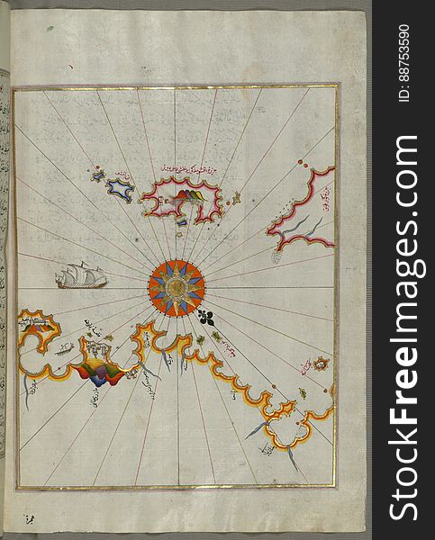
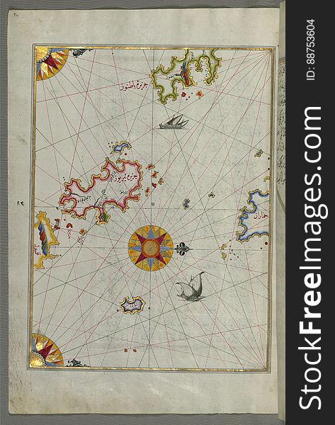
Illuminated Manuscript, Map of unidentified islands off the southern Anatolian coast from Book on Navigation, Walters Art Museum
Illuminated Manuscript, Map of the coast of Catalonia (Spain) with the ports of Barcellona (Bārselūniye) and
Illuminated Manuscript, Map of the French coast from Nice as far as Toulon from Book on Navigation, Walters Art Museum Ms. W.658
Sidon Sea Castle, Lebanon
Illuminated Manuscript, Map of the island of Krk (Veglia, Vake Venedīk) (Croatia) from Book on Navigation, Wa
Illuminated Manuscript, Map of the Moroccan coast from the city of Tetouan (Titwān) west from Book on Navigation, Walte
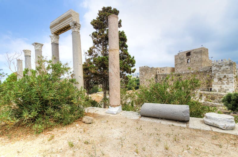
Crusader castle, Byblos, Lebanon
Illuminated Manuscript, Map of the town of Lanciano (Lansāne) and the surrounding fortresses from Book on Navigation, W
Illuminated Manuscript Adriatic coast from Budva to Dubrovnik (Dūbre Venedīk), from Book on Navigation, Walters Art M
Illuminated Manuscript, Map of the towns Vasto and Termoli on the Italian coast from Book on Navigation, Walters Art Museum Ms. W.
Illuminated Manuscript, Map of two unnamed islands between Dubrovnik and Split (Croatia) from Book on Navigation, Walter
Illuminated Manuscript, Map of a group of islands north of Korčula (Qūrsūlah), probably Hvar and Brač (Croatia&
Next page
10
/ 12
Home
Search for Lebanon free images