Browse categories
Log in
Sign up
Illuminated Manuscript Free Stock Images
Related searches:
vintage
manuscript
ancient ruins
Safe search
Include:
RF-LL
Public Domain
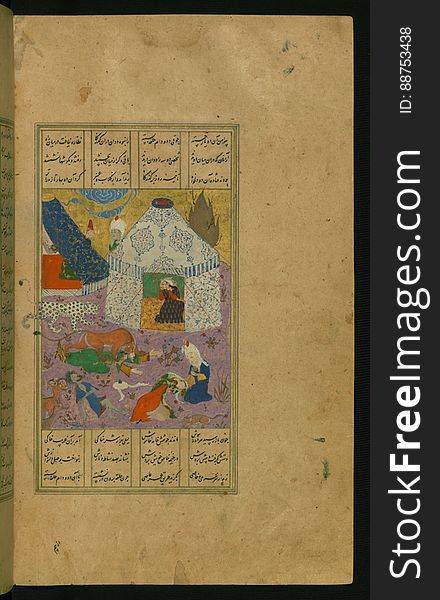
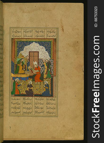
Illuminated Manuscript Khamsa, Walters Art Museum Ms. 609, fol. 175b
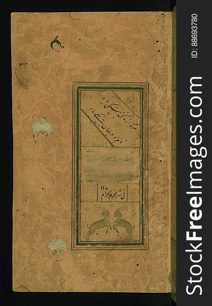
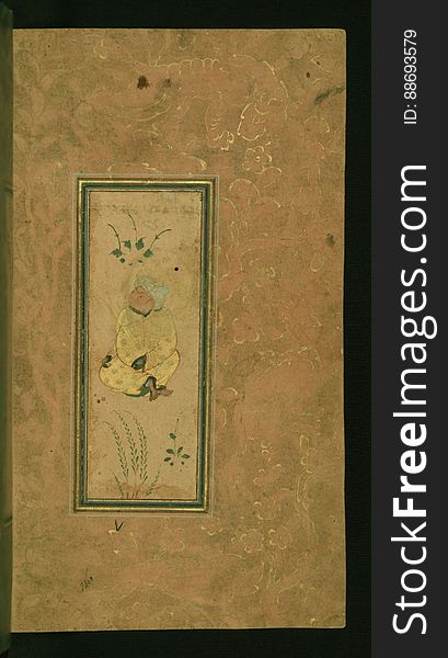
Illuminated Manuscript Anthology of Persian poetry, Walters Art Museum Ms. W.653, fol. 32a
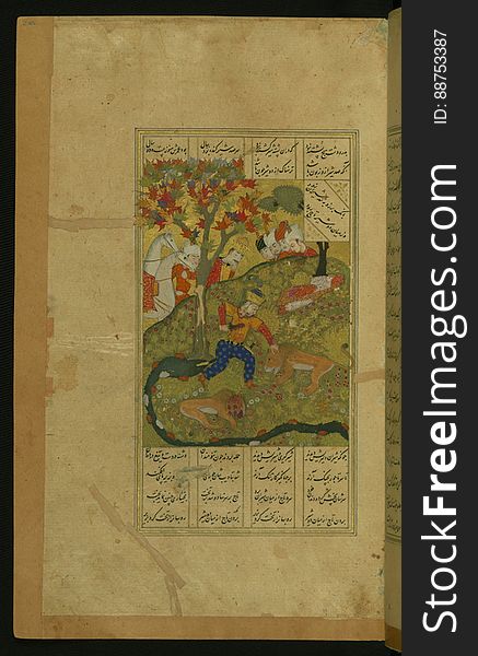
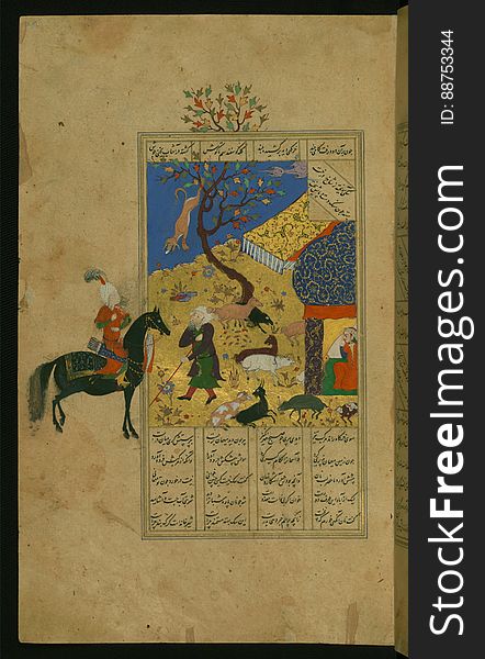
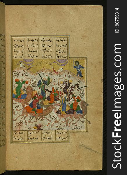
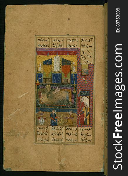
Illuminated Manuscript Khamsa, Walters Art Museum Ms. 609, fol. 88b
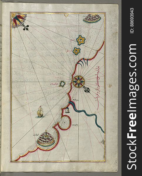
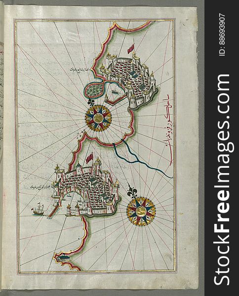
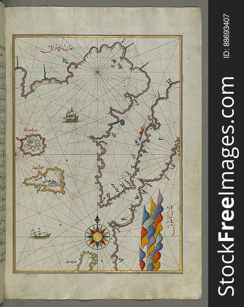
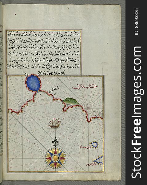
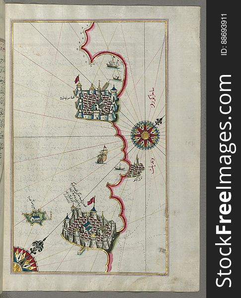
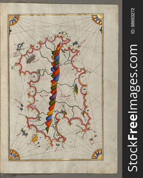
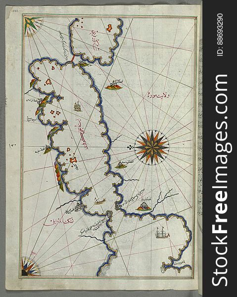
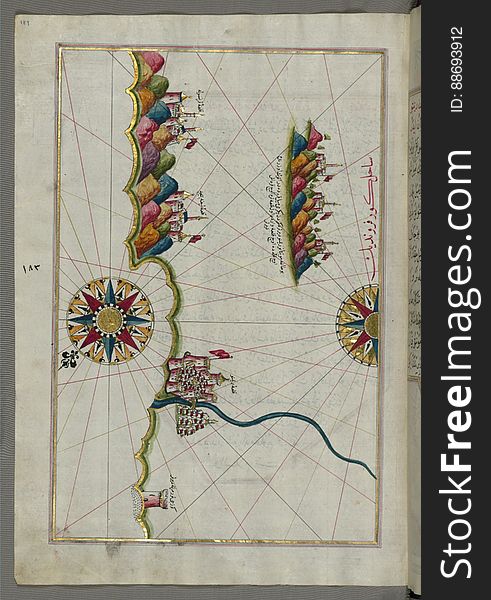
Illuminated Manuscript, Map of the coastline from Marano (Mūrān) to Caorle (Qāvarlī), Province of Venice f
Illuminated Manuscript Khamsa, Walters Art Museum Ms. 609, fol. 203a
Illuminated Manuscript Khamsa, Walters Art Museum Ms. 609, fol. 149b
Old Texture
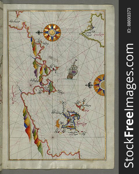
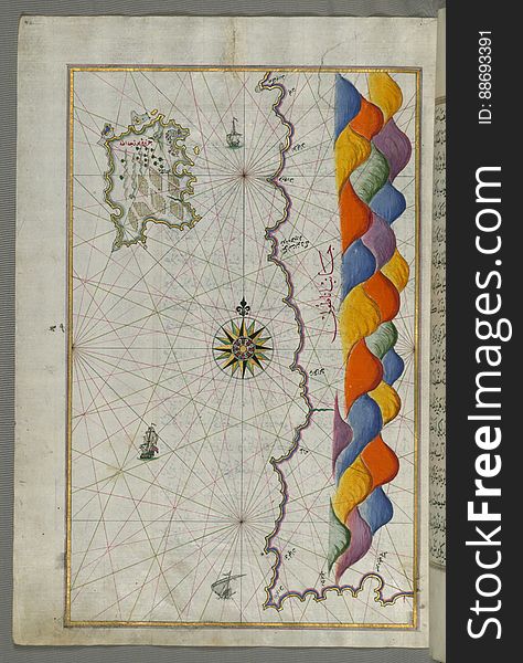
Illuminated Manuscript, Map of the coastline from Piran (Pirānū) as far as Izola (Īzele) (Slovenia
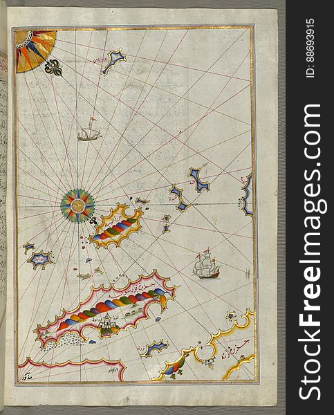
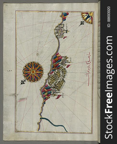
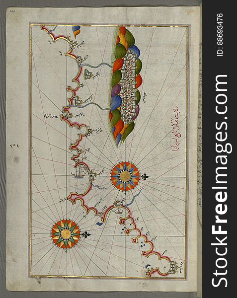
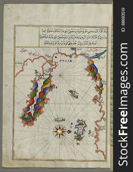
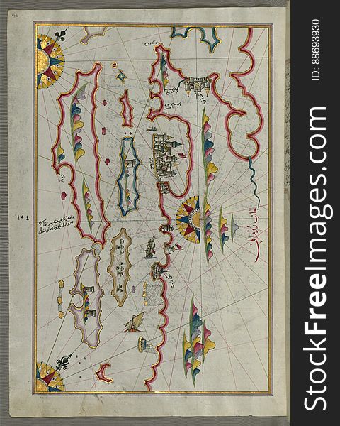
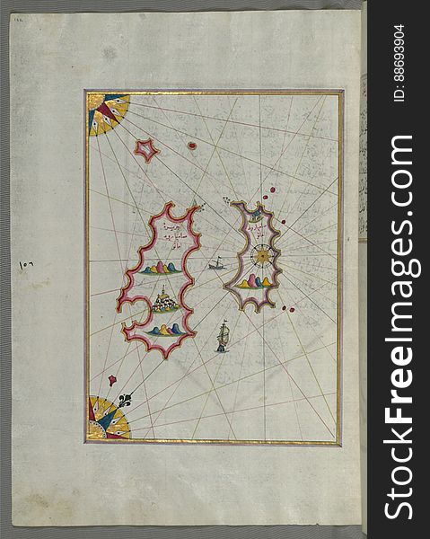
Illuminated Manuscript map of the northeastern tip of Rhodes (Rodos, Rūdūs) Island facing the Anatolian coast with the
Illuminated Manuscript Map of the island of Lemnos, from Book on Navigation, Walters Art Museum Ms. W.658, fol.47a
Celtic Knotwork Round Decorative Ornamental Border Frame
Illuminated Manuscript Khamsa, Walters Art Museum Ms. 609, fol. 372a
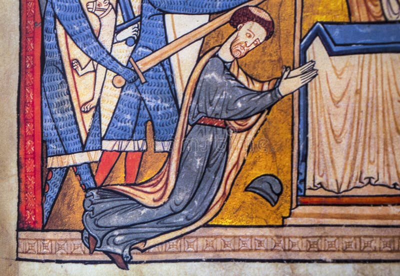
Thomas Becket murder scene
Illuminated Manuscript, Map of the Dalmatian Islands: Korčula (Qūrsūlah) and Lastovo (Augusta) off the coas
Illuminated Manuscript Map of the Bay of Salonica (Selānīk,Thessalonici) and the western coastline, from Book on Navig
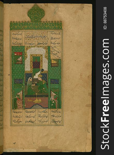
Illuminated Manuscript Khamsa, Walters Art Museum Ms. 609, fol. 111b
Illuminated Manuscript, Map of the Italian coastline south of Ancona including Tronto from Book on Navigation, Walters Art Museum
Illuminated Manuscript Khamsa, Walters Art Museum Ms. 609, fol. 250a
Illuminated Manuscript Map of The Islands of Semendrek (Samothraki) and Imroz (Imbros) in the Aegean Sea, from
Illuminated Manuscript Khamsa, Walters Art Museum Ms. 609, fol. 224b
Illuminated Manuscript Map of part of the European coastline with the islands of Semendrek (Samothraki) and Imroz (
Illuminated Manuscript, The Islands of Corfu (Kerkira, Kūrfūz) and Paxi (Paxoi) from Book on Navigation, Wal
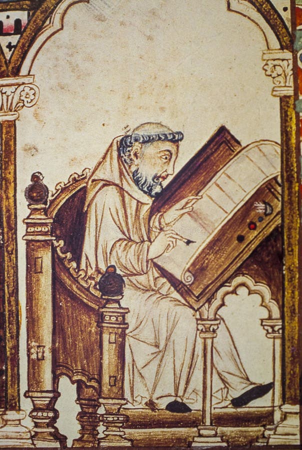
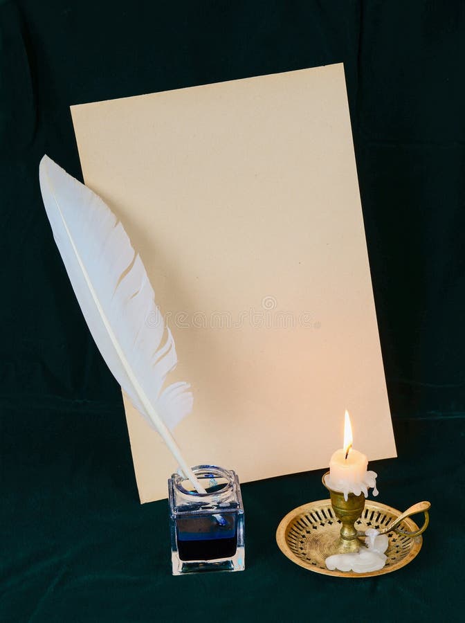
Scribe monk writing with the quill
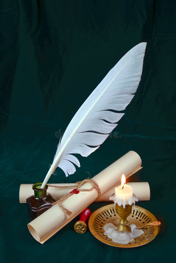
Old candle on table with rolls of paper
Illuminated Manuscript Khamsa, Walters Art Museum Ms. 609, fol. 243b
Illuminated Manuscript Map of the coast of Andalusia with the city of Grenada (Gharnātah), from Book on Navigation, Wal
Illuminated Manuscript Anthology of Persian poetry, Walters Art Museum Ms. W.653, fol. 17a
Illuminated Manuscript Map of The island of Bozjah (Tenedos) off the coast of Anatolia, from Book on Navigation, Walters
Illuminated Manuscript Anthology of Persian poetry, Walters Art Museum Ms. W.653, fol. 19b
Illuminated Manuscript, The western coast of Greece from the island of Levcas (Lefkada, Leucas, Santa Maura) going north
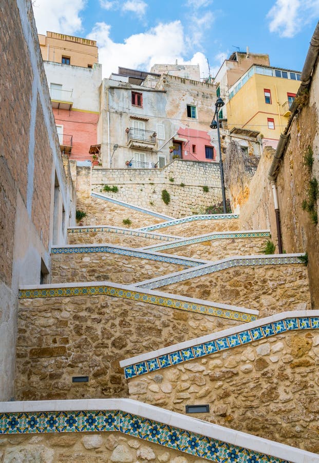
Beautiful ceramic stair in the city of Sciacca. Province of Agrigento, Sicily.
Cultural concept
Book with light
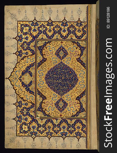
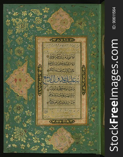
Illuminated Manuscript Koran, Left side of a double-page opening with verses of the first chapter (Sūrat al-fātiḥah)
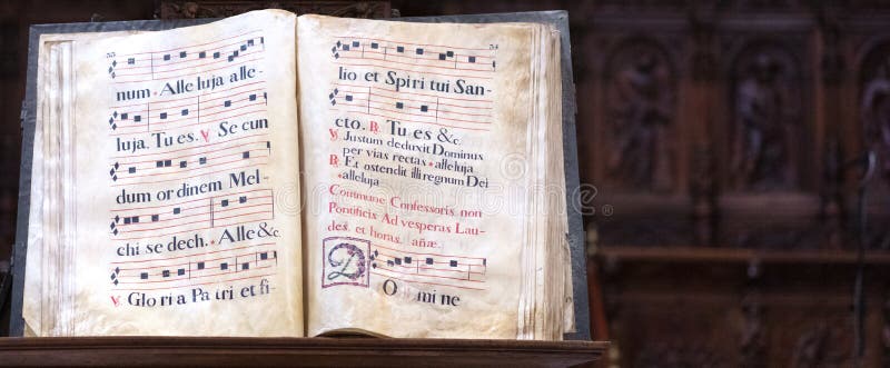
Old gregorian book
Saint gheorghe killing the dragon
Illuminated Manuscript Khamsa, Walters Art Museum Ms. 609, fol. 305b
Illuminated Manuscript Khamsa, Walters Art Museum Ms. 609, fol. 25a
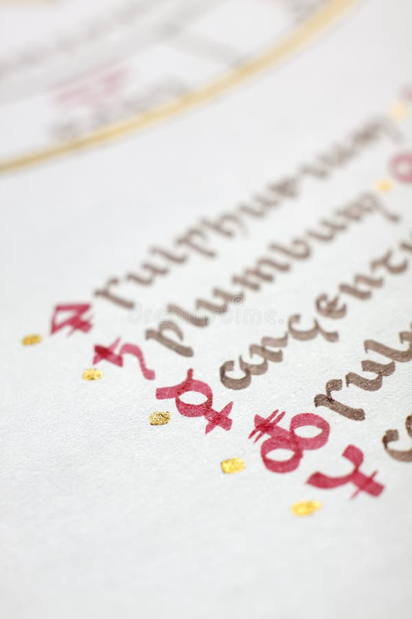
Detail of a handwritten alchemical symbols
Illuminated Manuscript Map of the area west of the island of Thasos (Taşöz) and the Ayion Oros Peninsula, from Book on
Illuminated Manuscript, Map of the coastline from Poreč (Parenzo, Brānse) as far as Novi Grad (Croatia) from
Illuminated Manuscript, Map of the coastline and the islands off Zadar (Zādare)(Croatia) from Book on Navigat
Burning in the fire book
Illuminated Manuscript Poem in Honor of the Prophet Muhammad, Walters Art Museum Ms. W.582, fol. 6a
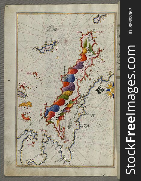
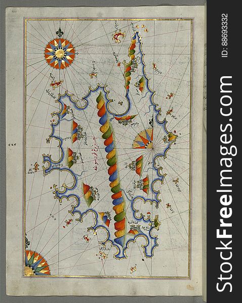
Illuminated Manuscript Map of Sardina from Book of Navigation, Walters Art Museum, Ms. W.658, fol. 226b
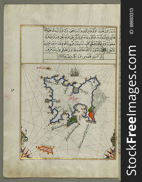
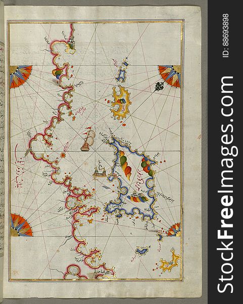
Illuminated Manuscript, Map of two as yet unidentified islands in the vicinity of Pag Island (Croatia) from Book on Nav
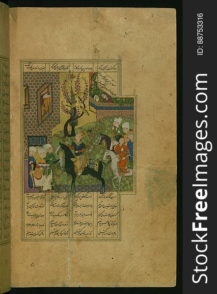
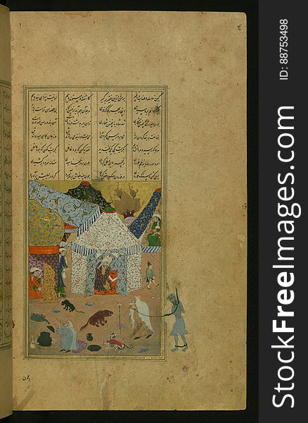
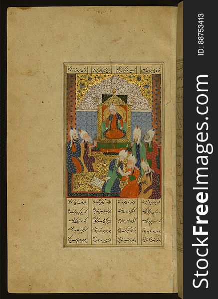
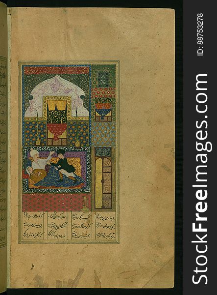
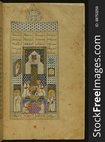
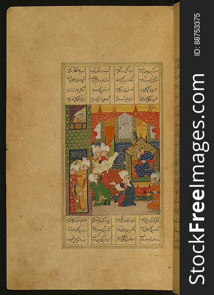
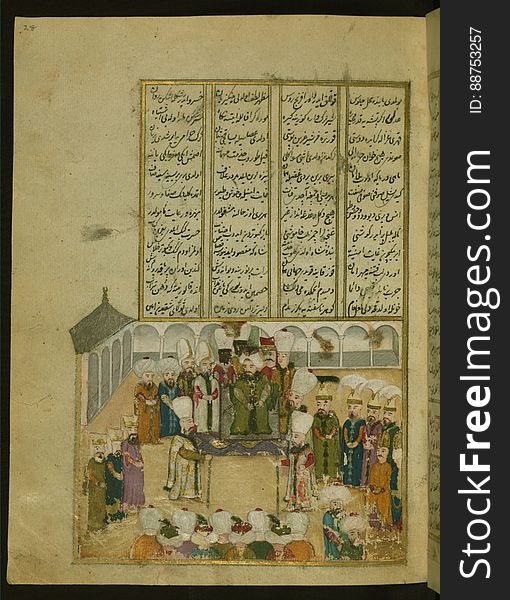
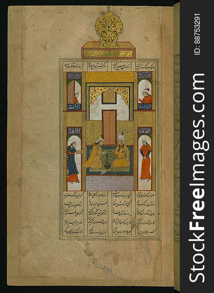
Five poems (quintet), Sultan Murad IV receiving homage from his subjects, Walters Manuscript W.666, fol. 28a
Book with leather covers
Illuminated Manuscript Map of the islands of Skyros (İskire) and Euboea (Evvoia, Aghrībūz, Eğriboz), from
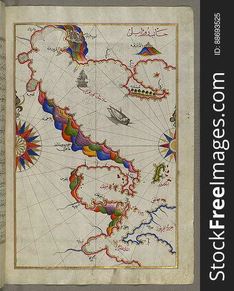
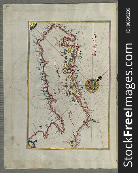
Illuminated Manuscript Map of the Islands of the Adriatic Coast from Book on Navigation, Walters Art Museum Ms. W.658, fol. 208a
Illuminated Manuscript Khamsa, Walters Art Museum Ms. 609, fol. 144b
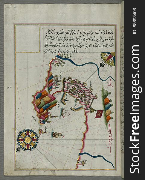
Illuminated manuscript Map of the Fortress of Ancona, from Book on navigation, Walters Art Museum ms. W.658, fol. 192a
Freemasonry emblem - the masonic square and compass symbol. All seeing eye of god in sacred geometry triangle, masonry icon
Illuminated Manuscript Map of Saronikos (Aiyina) Bay, from Book on Navigation, Walters Art Museum Ms. W.658, fol. 133a
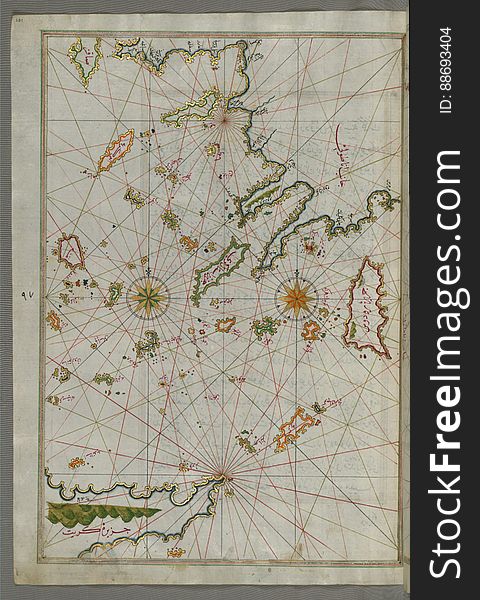
Illuminated Manuscript map of the islands of the Aegean Sea including Chios (Sakiz), Cos (Stancho, İstanköy)
Illuminated manuscript Map of Corsica, from Book on Navigation, Walters Art Museum Ms. 658, fol. 229a
Illuminated Manuscript Khamsa, Walters Art Museum Ms. 609, fol. 221a
Cultural concept
Illuminated Manuscript Khamsa, Walters Art Museum Ms. 609, fol. 106a
Illuminated Manuscript Anthology of Persian poetry, Walters Art Museum Ms. W.653, fol. 8b
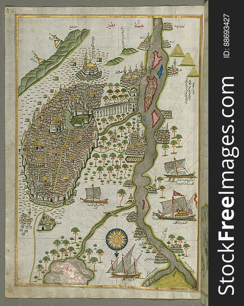
Illuminated Manuscript Map of Cairo, from Book on Navigation, Walters Ms. W.658, fol. 305b
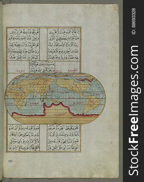
Illuminated Manuscript, Oval Map of the World, from Book on Navigation, Walters Art Museum Ms. W.658, fol.23b
Illuminated Manuscript, Map of the Italian coastline from Rimini south towards Pesaro from Book on Navigation, Walters Art Museum
Next page
3
/ 14
Home
Search for Illuminated manuscript free images