Browse categories
Log in
Sign up
Croatia Map Free Stock Images
Safe search
Include:
RF-LL
Public Domain
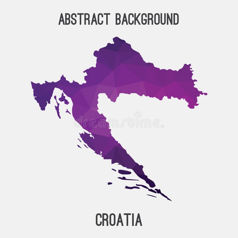
Croatia map in geometric polygonal,mosaic style.
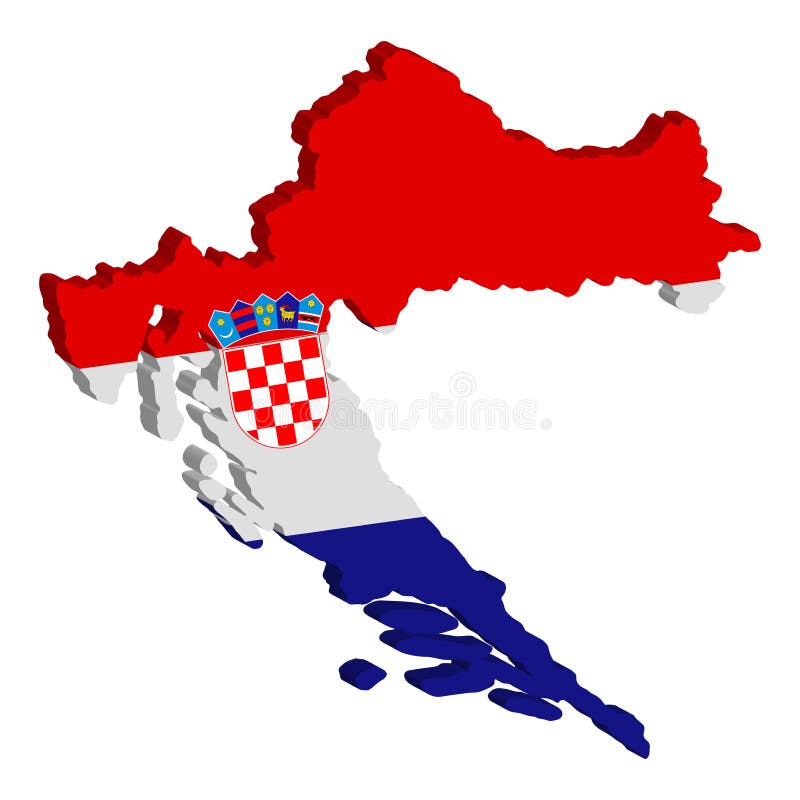
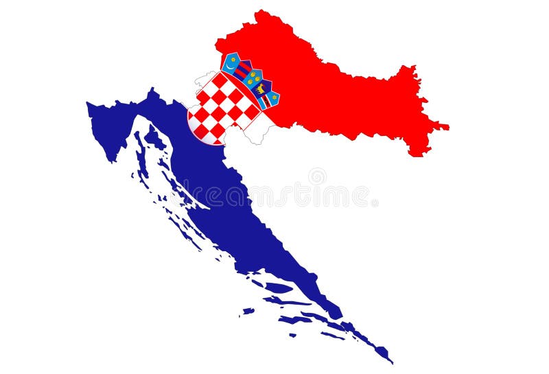
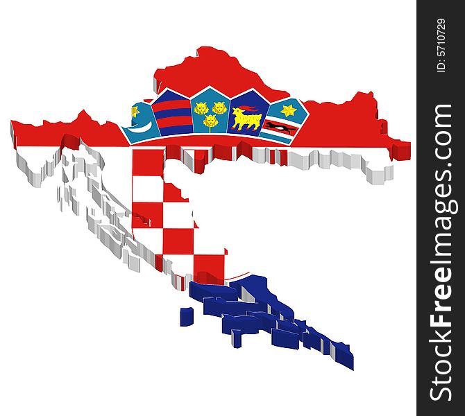
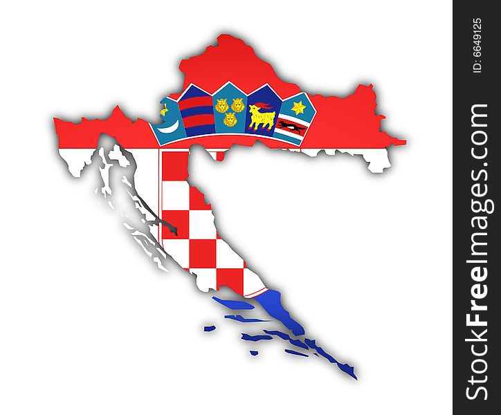
Croatia Map flag Vector 3D illustration eps 10
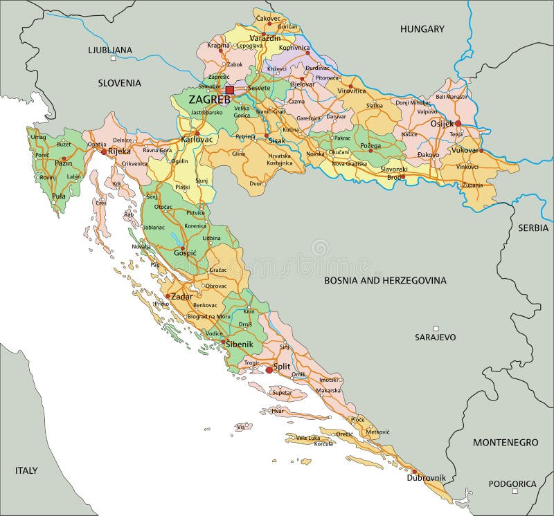
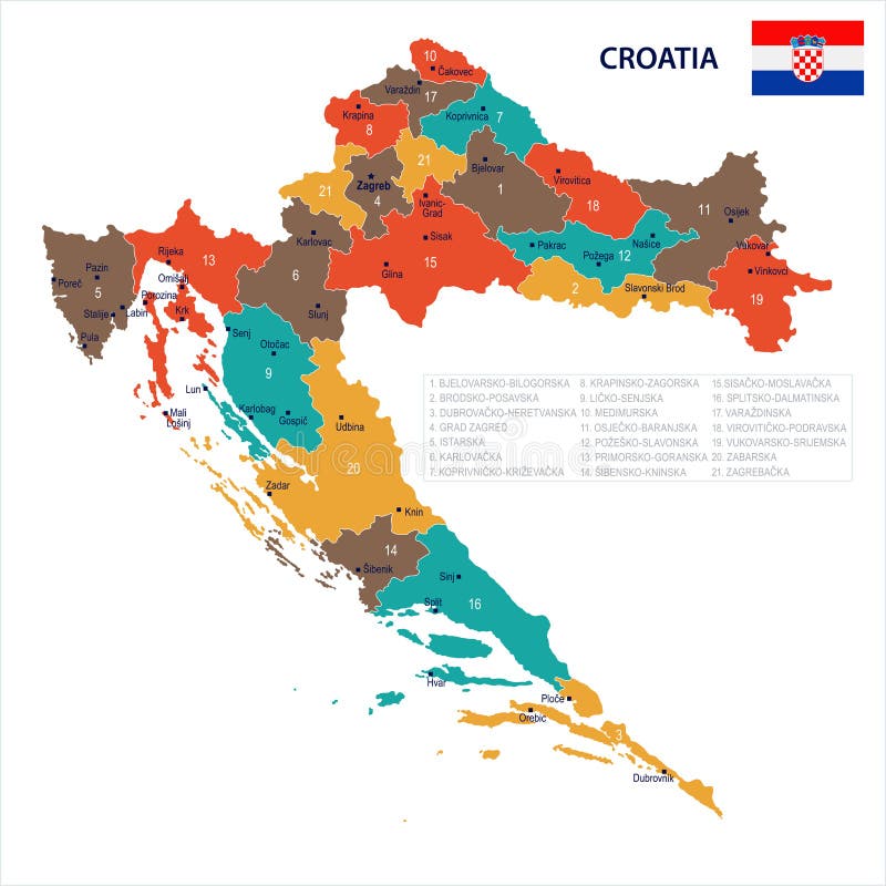
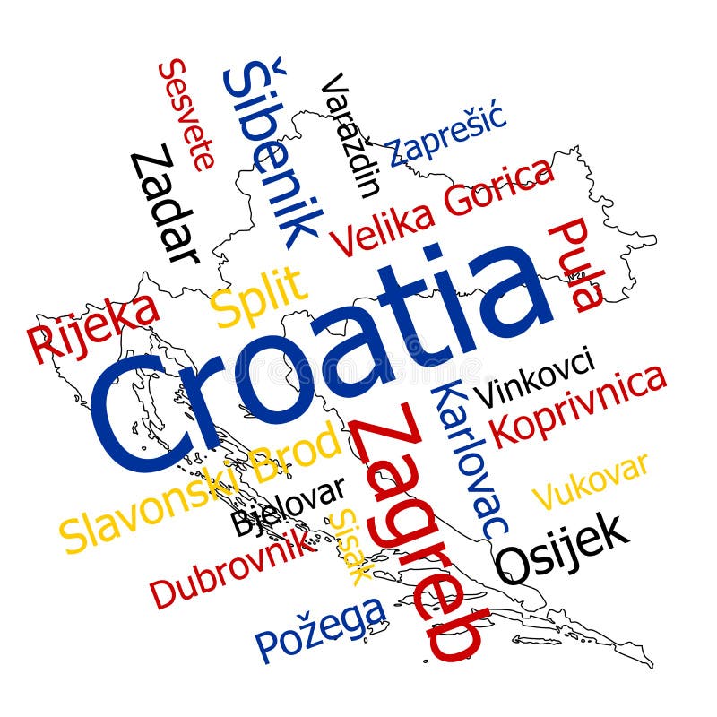
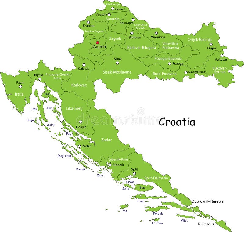
Croatia map with cities.
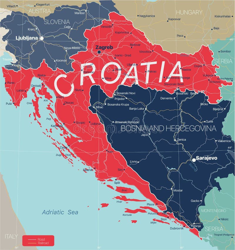
Croatia country detailed editable map
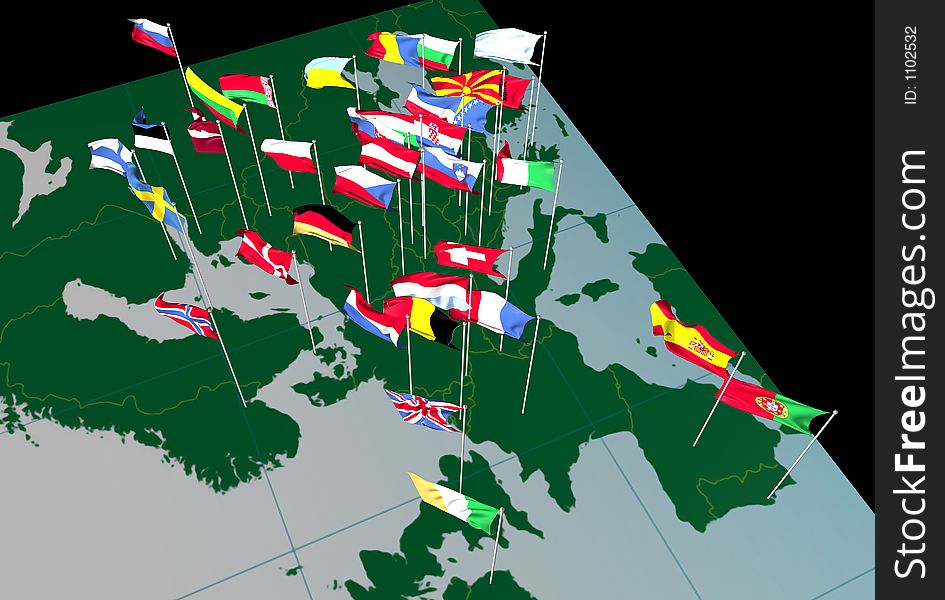
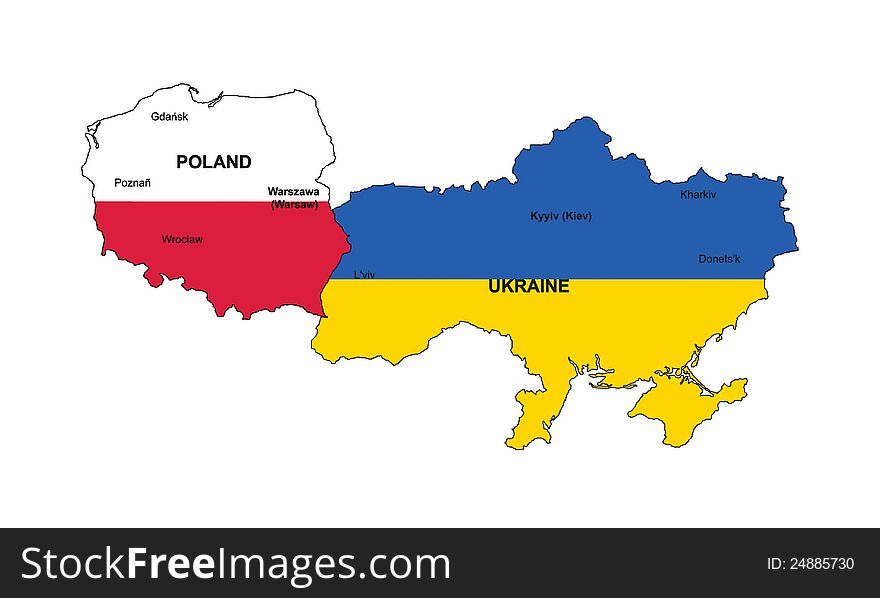
European Flags on Map (West view)
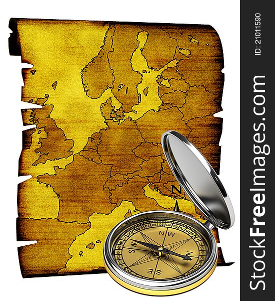
Map of Europe in old style
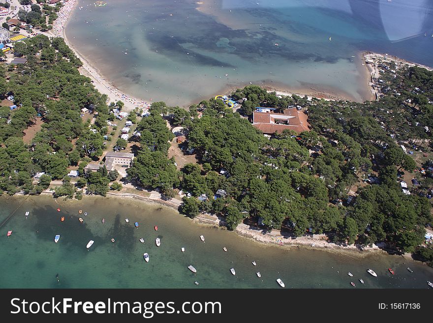
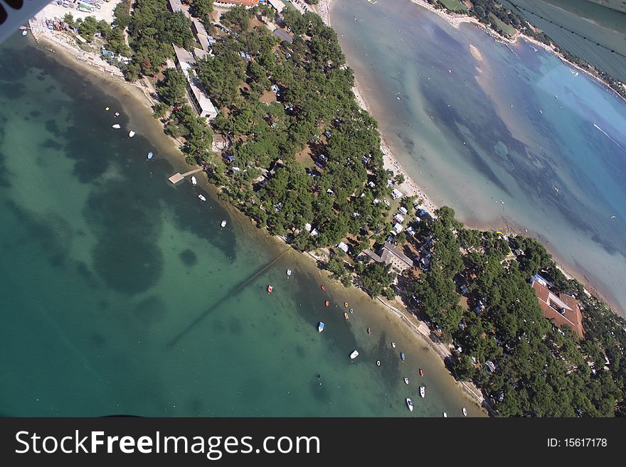
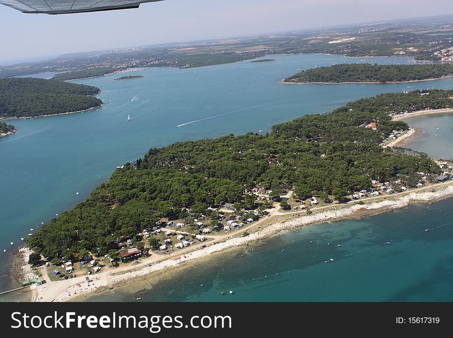
Beauty island
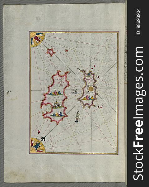
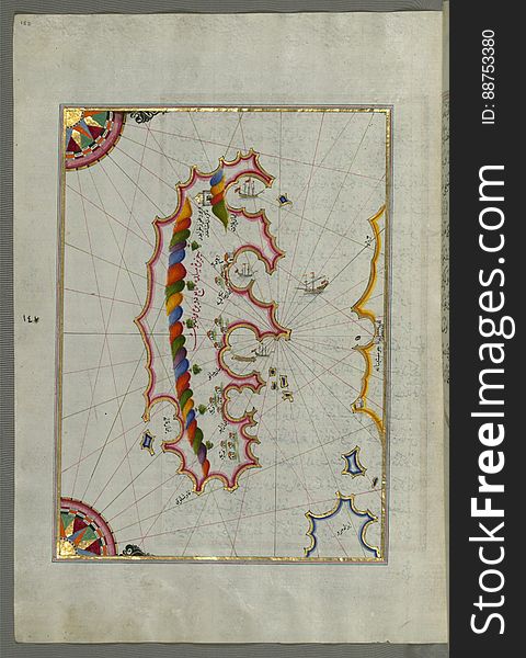
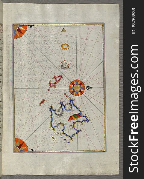
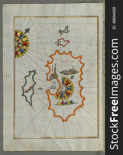
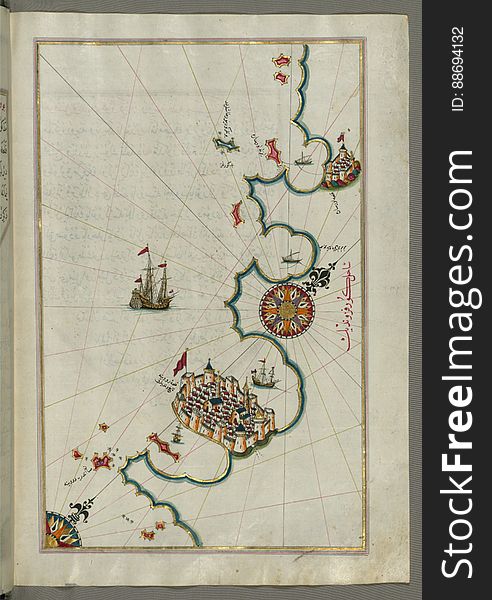
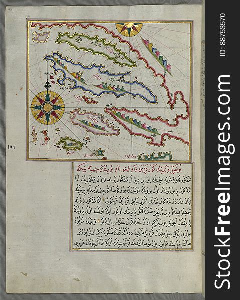
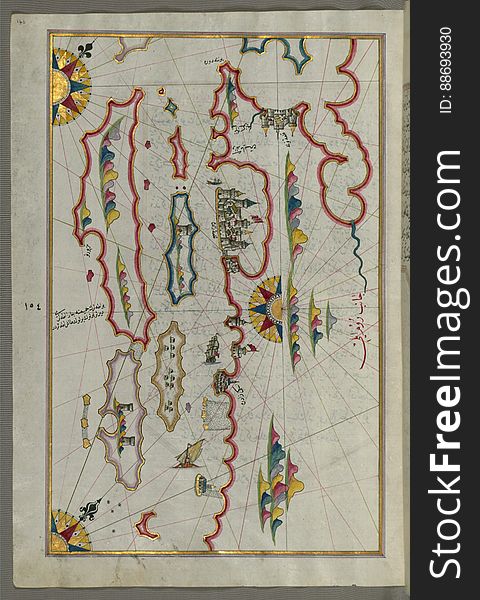
Illuminated Manuscript, Map of two as yet unidentified islands in the vicinity of Pag Island (Croatia) from Book on Nav
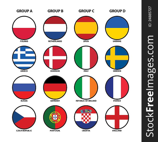
Euro 2012 groups
Beauty island
Croatia - Highly detailed editable political map with labeling.
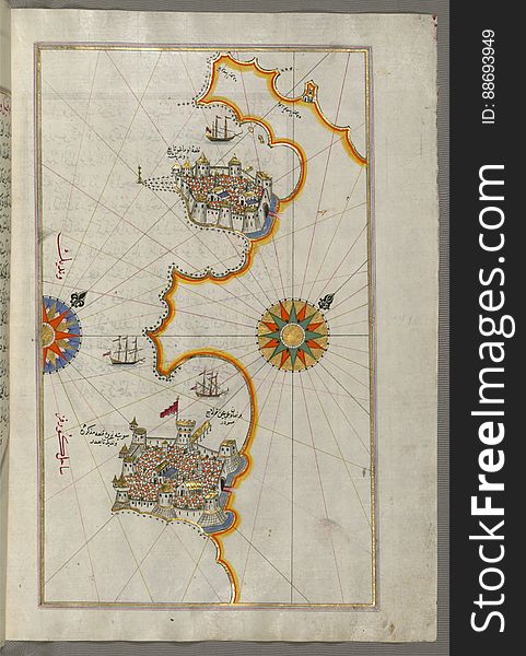
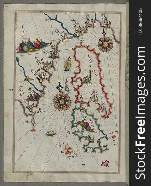
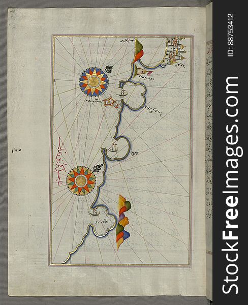
Illuminated Manuscript, Map of the Island of Mljet (Mīlede) off Dubrovnik (Croatia) from Book on Navigation
Close up on Croatia map on white background, no shadows
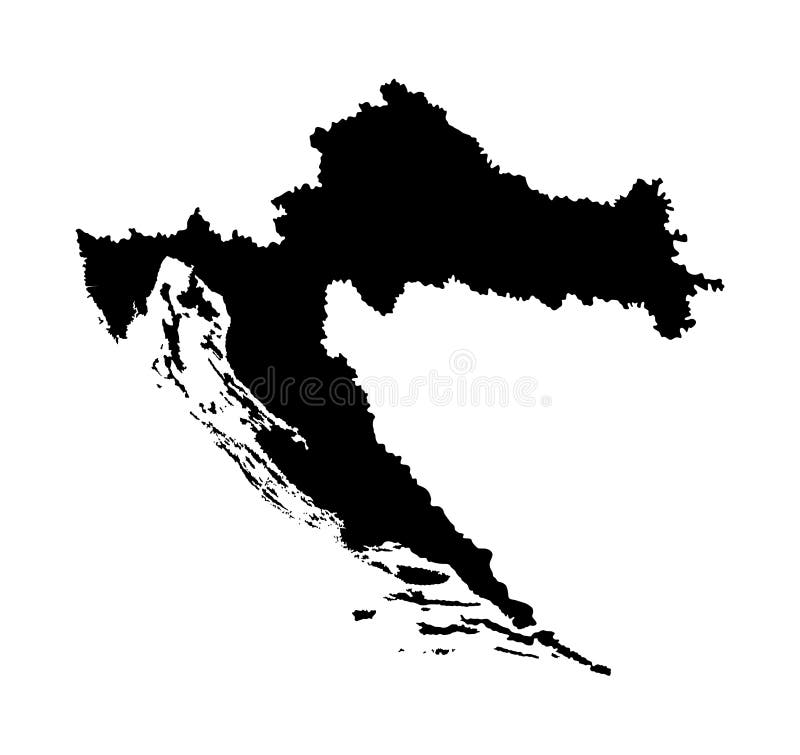
Croatia map silhouette. EU country. Europe country.
Croatia - map and flag Detailed Vector Illustration
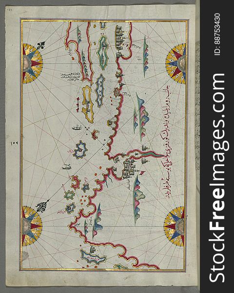
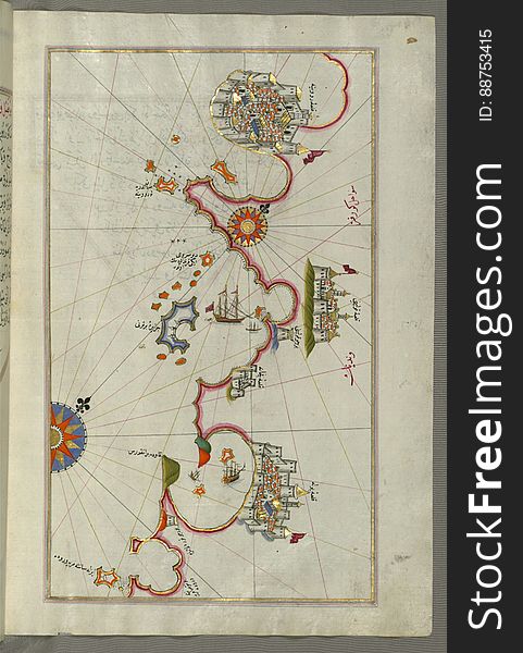
Illuminated Manuscript, Map of the coastline and the islands between Šibenik and Zadar (Zādare) (Croatia) fr
Illuminated Manuscript, Map of two unnamed islands between Dubrovnik and Split (Croatia) from Book on Navigation, Walter
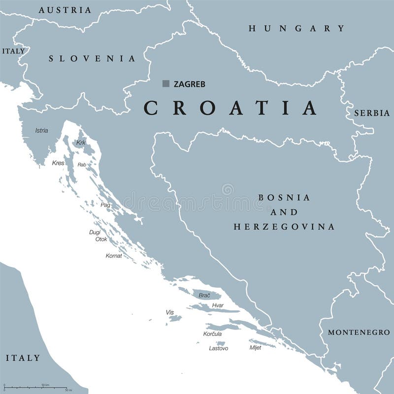
Croatia
Illuminated Manuscript, Map of the coastline from Novi Grad as far as Umag (Umago, Ūmāghū) (Croatia) from B
Flag and map of croatia
Illuminated Manuscript, Map of the coastline from Poreč (Parenzo, Brānse) as far as Novi Grad (Croatia) from
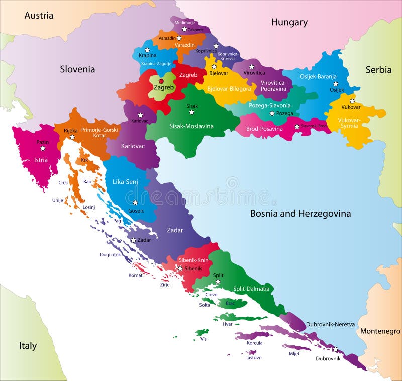
Croatia map and cities
Illuminated Manuscript, Map of Cres (Cherso, Qārsū), Lošinj (Feghāle) and Unije islands (Croatia)
Croatia map highly detailed blue vector
Beauty island
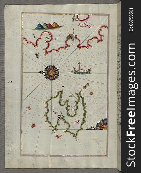
Illuminated Manuscript, Map of the island of Unije (Uniye) south of Lošinj (Feghāle) island (Croatia&#x
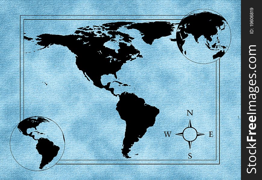
Contour of America
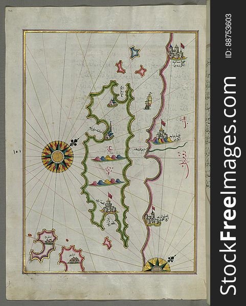
Illuminated Manuscript, Map of the island of Krk (Veglia, Vake Venedīk) (Croatia) from Book on Navigation, Wa
Euro 2012 map
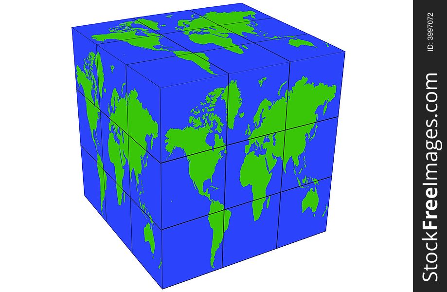
World map
Illuminated Manuscript, Map of Premuda (Premūde Venedīk) island west off the Pag Island (Croatia) from Book
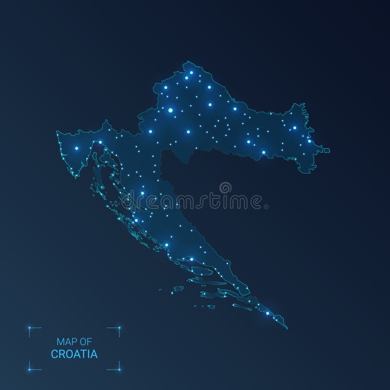
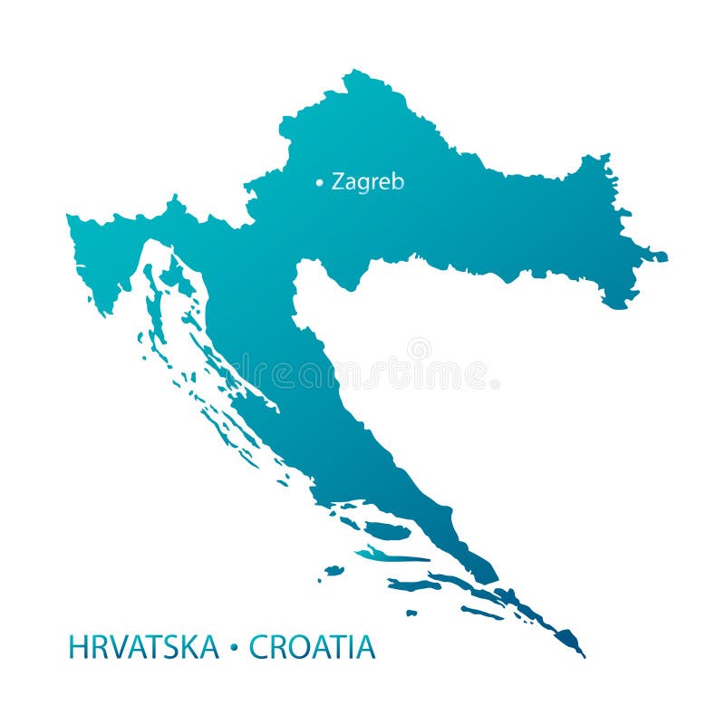
Croatia map
Croatia political map
Illuminated Manuscript, Map of the coastline from Rovinj north (Croatia) from Book on Navigation, Walters Art Museum Ms.
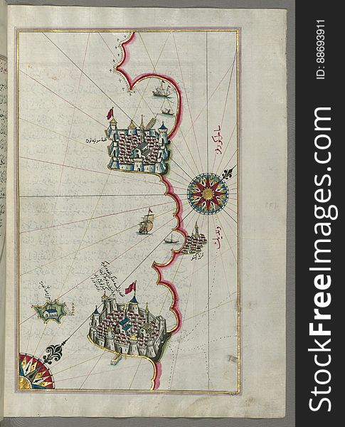
Illuminated Manuscript, Map of the coast from Medulin as far as Pula (Croatia) from Book on Navigation, Walters Art Muse
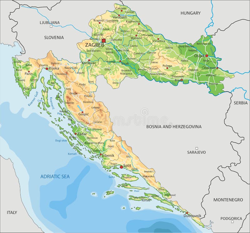
High detailed Croatia physical map with labeling.
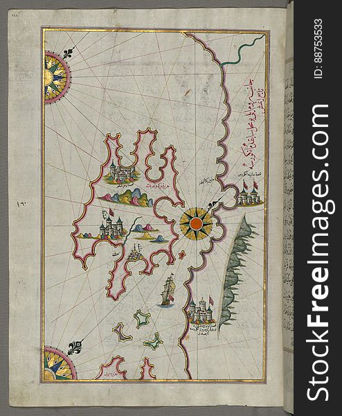
Illuminated Manuscript, Map of a group of islands north of Korčula (Qūrsūlah), probably Hvar and Brač (Croatia&
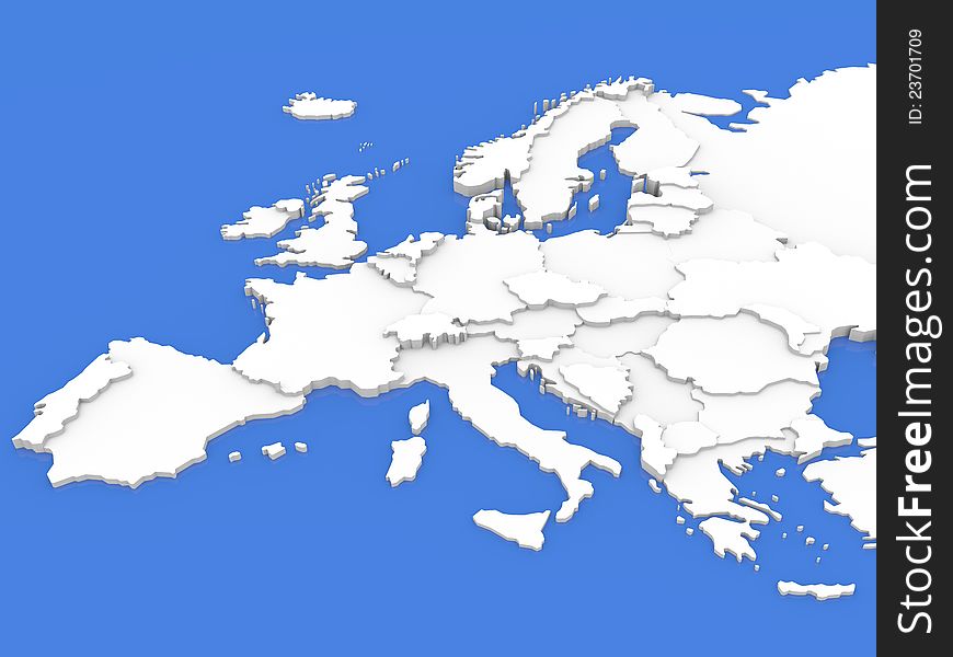
Europe
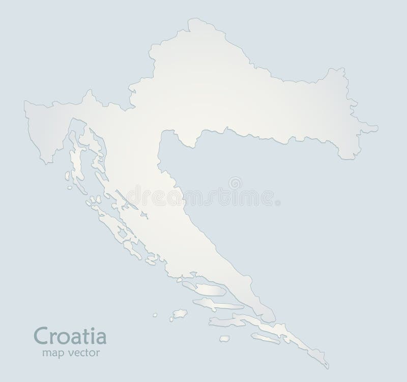
Croatia map blue white paper 3D
Soccer ( Football ) Tounament Map
Croatia map
Illuminated Manuscript, Map of the coastline and the islands off Zadar (Zādare)(Croatia) from Book on Navigat
Illuminated Manuscript, Map of the coastline from Pula to Rovinj (Rūvinye) (Croatia) from Book on Navigation
Illuminated Manuscript, Map of the coast north of the Medulin fortress (Croatia) from Book on Navigation, Walters Art Mu
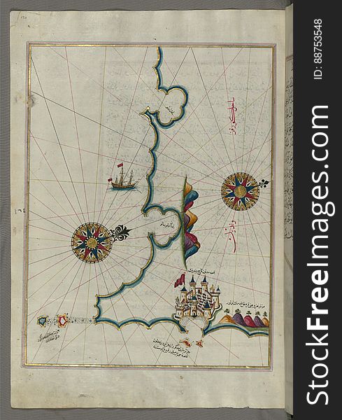
Illuminated Manuscript, Map of The island of Rab (Arbe) (Croatia) from Book on Navigation, Walters Art Museum
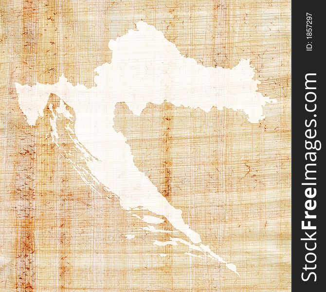
Croatia on papyrus
Home
Search for Croatia map free images