Browse categories
Log in
Sign up
Counties Map Ireland Free Stock Images
Safe search
Include:
RF-LL
Public Domain
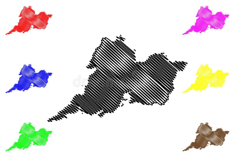
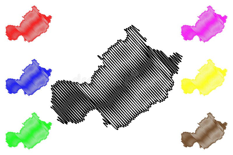
Clare County Council Republic of Ireland, Counties of Ireland map vector illustration, scribble sketch Clare map
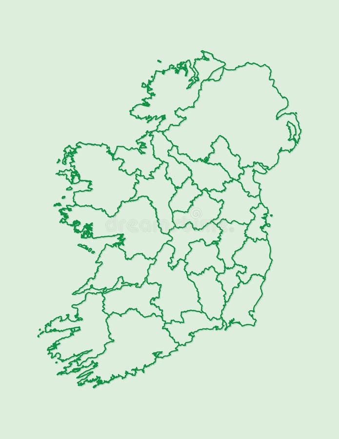
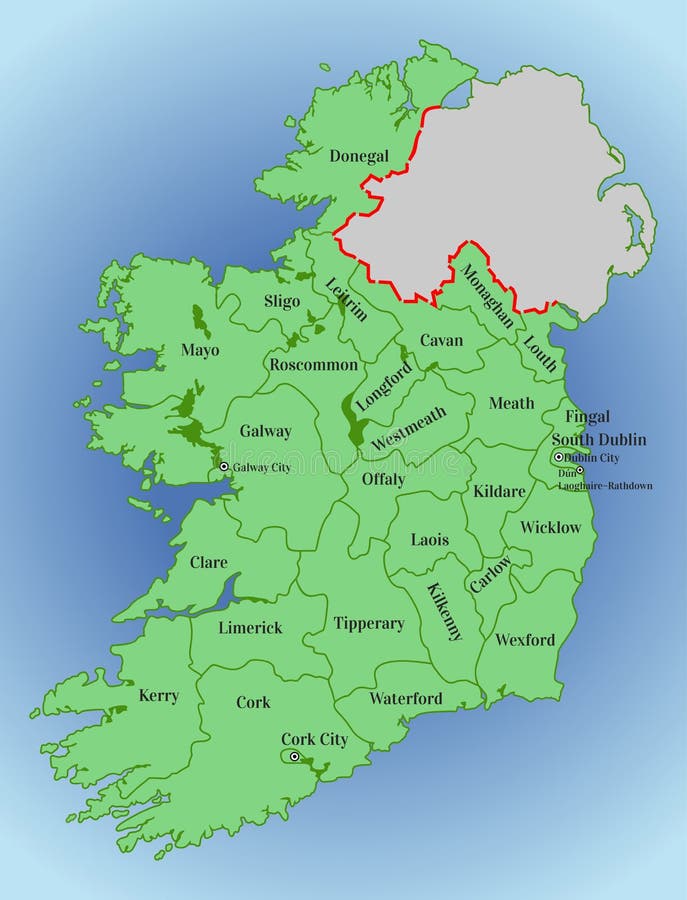
Ireland map vector with counties using green border lines on light background
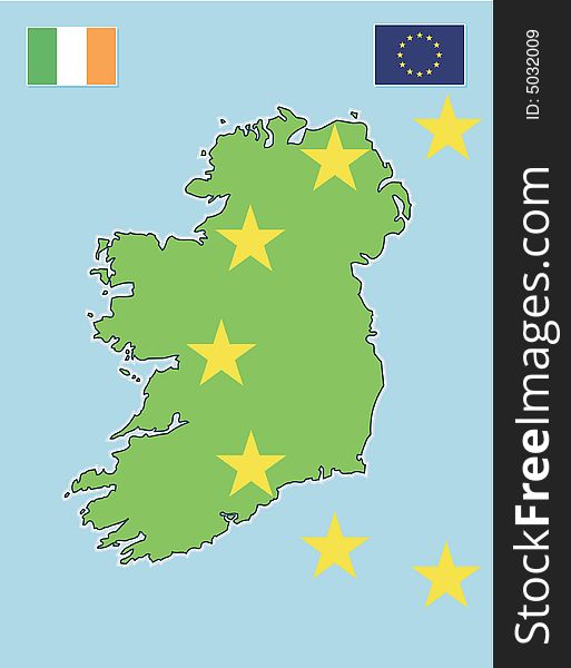
Ireland map & EU flag
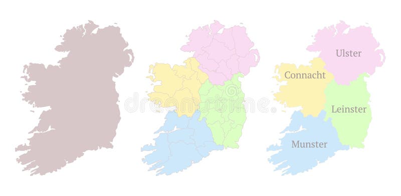
Provinces of Ireland map. Detailed outline and silhouette. Administrative divisions and counties. Set of vector maps. All isolated
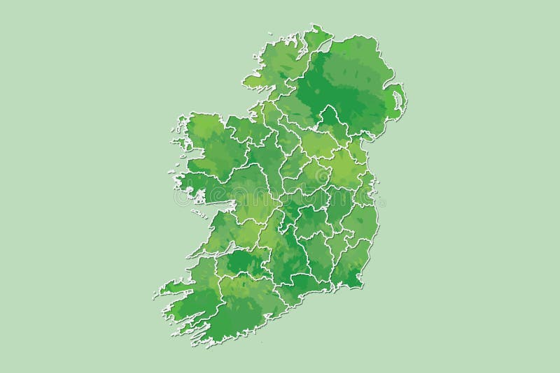
Ireland watercolor map vector illustration of green color with border lines of different regions or counties on light background
Sligo County Council Republic of Ireland, Counties of Ireland map vector illustration, scribble sketch Sligo map
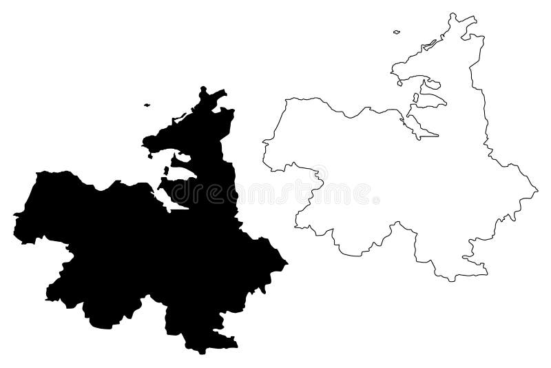
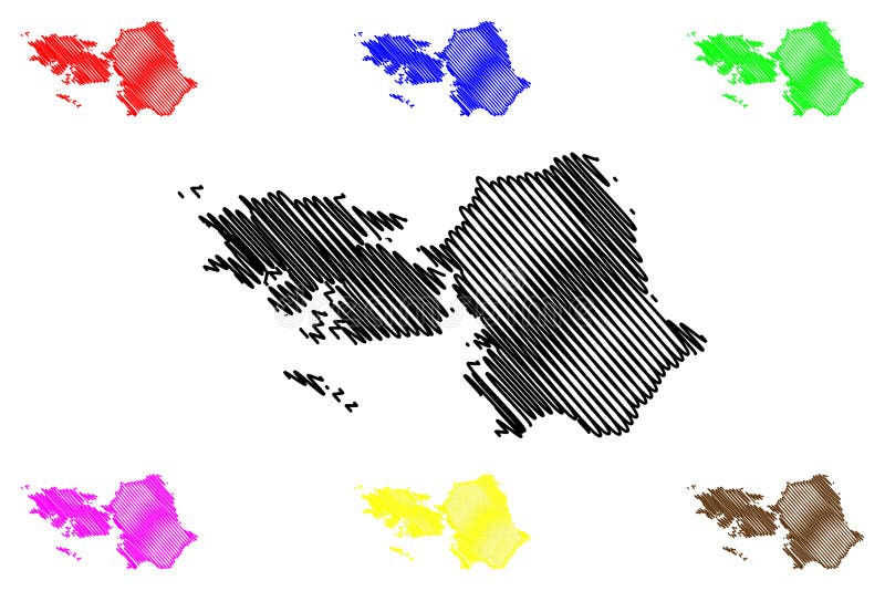
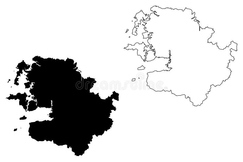
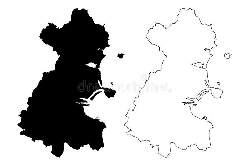
Galway County Council Republic of Ireland, Counties of Ireland map vector illustration, scribble sketch Galway map
Longford County Council Republic of Ireland, Counties of Ireland map vector illustration, scribble sketch Longford map
Westmeath County Council Republic of Ireland, Counties of Ireland map vector illustration, scribble sketch Westmeath map
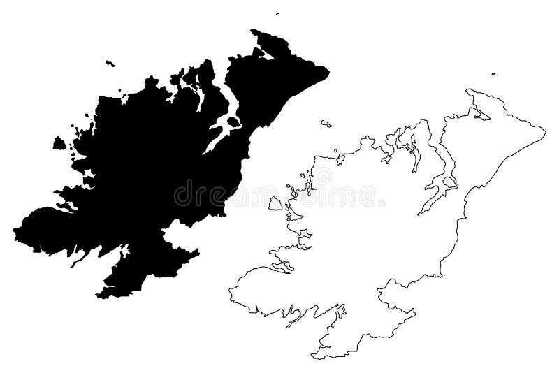
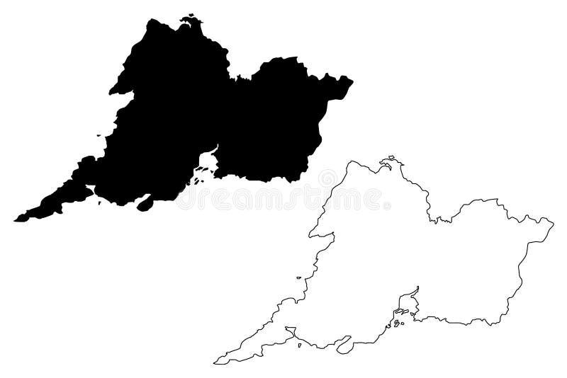
Donegal County Council Republic of Ireland, Counties of Ireland map vector illustration, scribble sketch Donegal map
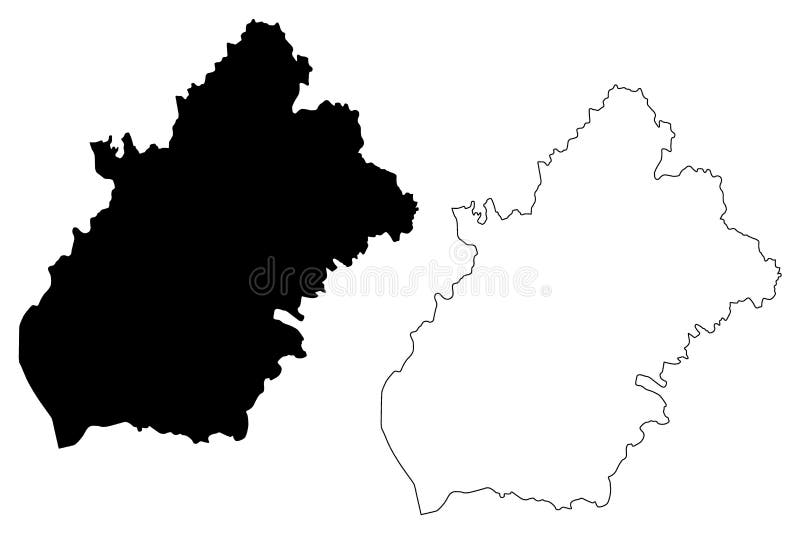
Mayo County Council Republic of Ireland, Counties of Ireland map vector illustration, scribble sketch Mayo map
Galway County Council Republic of Ireland, Counties of Ireland map vector illustration, scribble sketch Galway map
Clare County Council Republic of Ireland, Counties of Ireland map vector illustration, scribble sketch Clare map
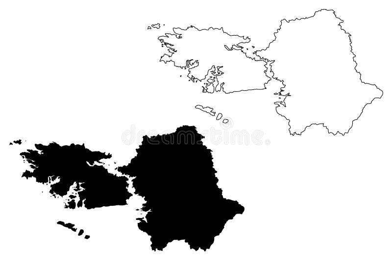
County Dublin Republic of Ireland, Counties of Ireland map vector illustration, scribble sketch Dublin region map
Vector map of Ireland. Republic of Ireland. Map of Ireland with the division into counties
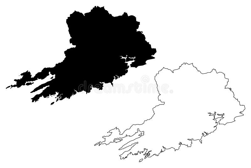
Cork County Council Republic of Ireland, Counties of Ireland map vector illustration, scribble sketch Cork map
Home
Search for Counties map ireland free images