Browse categories
Log in
Sign up
Caspian Free Stock Images
Related searches:
iran
Safe search
Include:
RF-LL
Public Domain
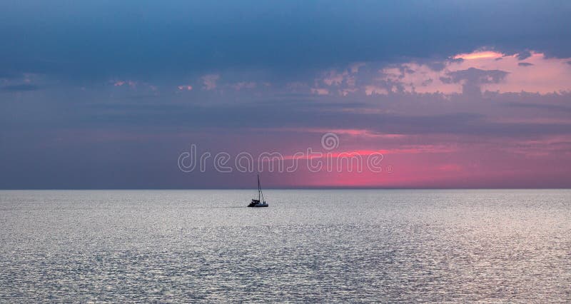
Typical view of the Caspian Sea, Kazakhstan, Aktau. The Pink Sunset.
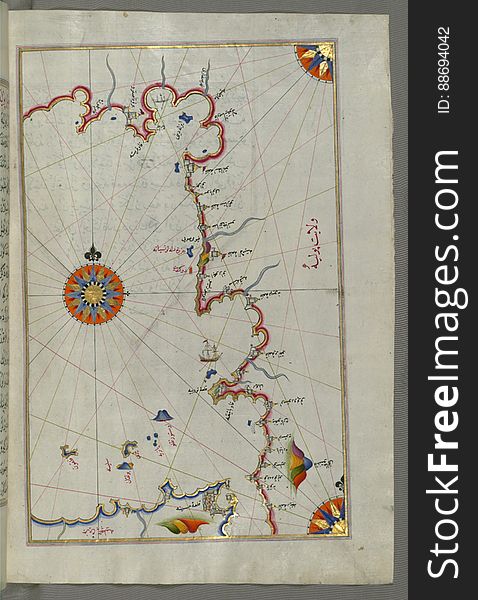
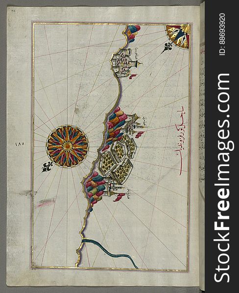
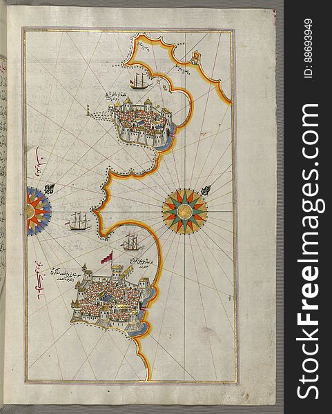
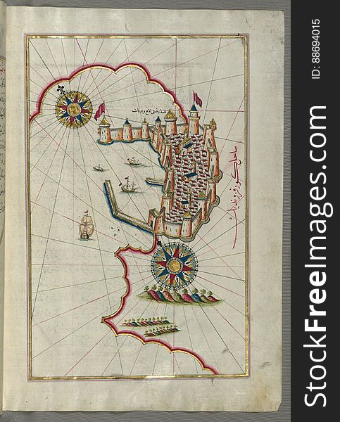
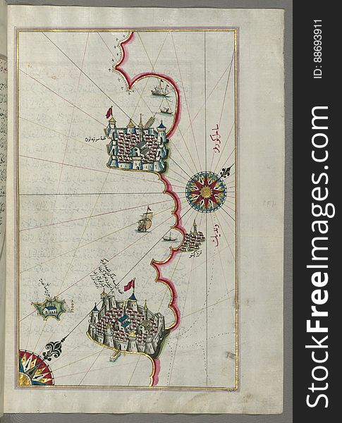
Illuminated Manuscript, Map of the port of Brindisi (Parindīs) from Book on Navigation, Walters Art Museum Ms. W.658, f
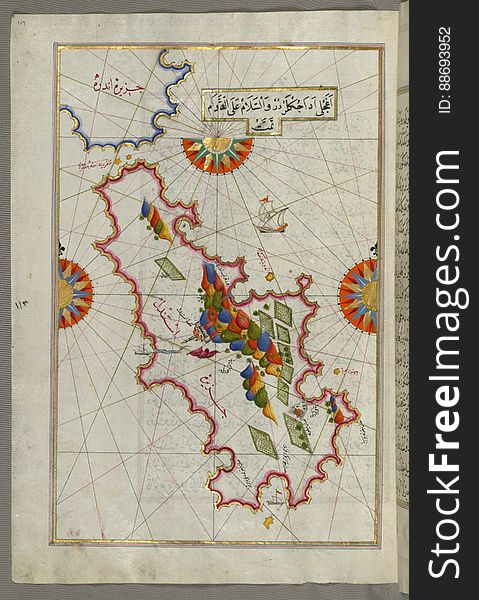
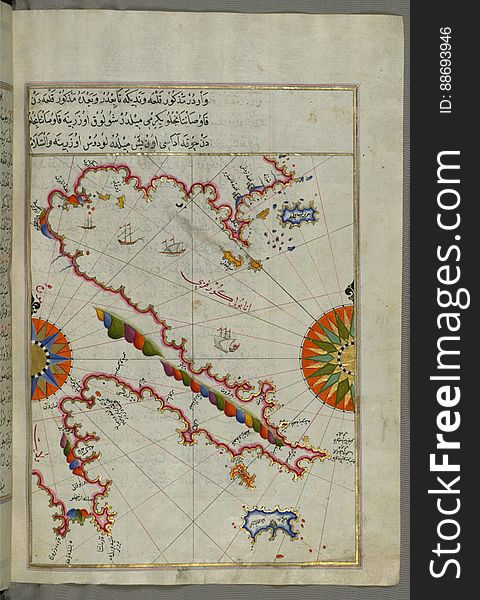
Illuminated Manuscript, The area between Corfu (Kerkira, Kūrfūz) and Paxi (Paxoi) islands from Book on Navi
Caspian Sea, beach vacation.
Illuminated Manuscript, Map of the straits of Messina and the western Italian coast from Book on Navigation, Walters Art Museum Ms
Illuminated Manuscript, Map of the Italian coastline from Pesaro (Pāzarū) south from Book on Navigation, Walters Art M
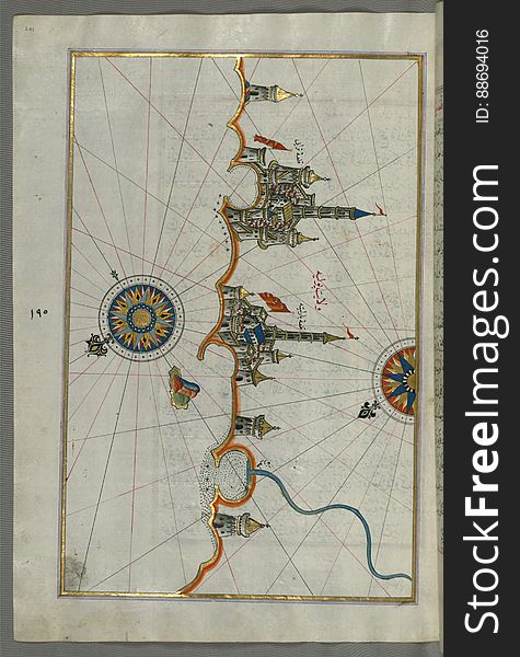
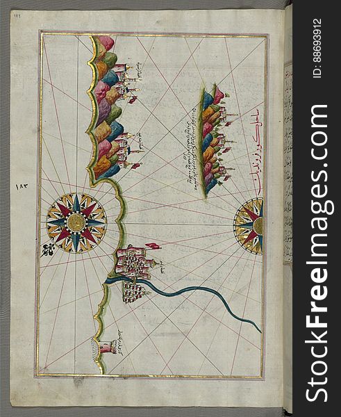
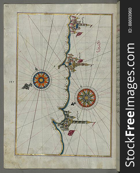
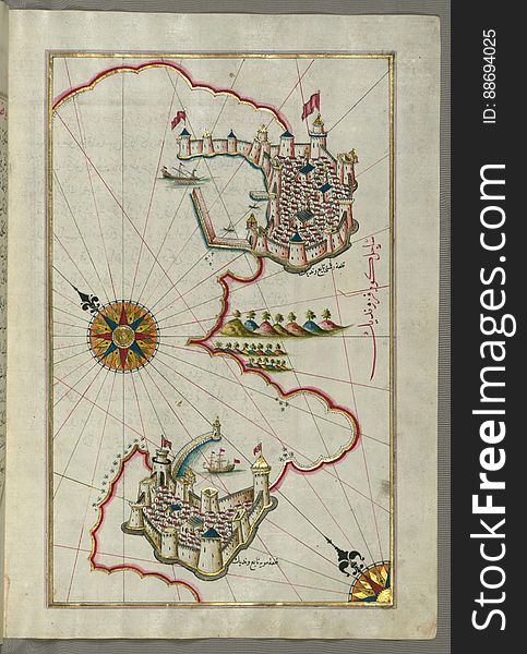
Illuminated Manuscript, Map of the Italian coastline from Barletta to Trani from Book on Navigation, Walters Art Museum Ms. W.658
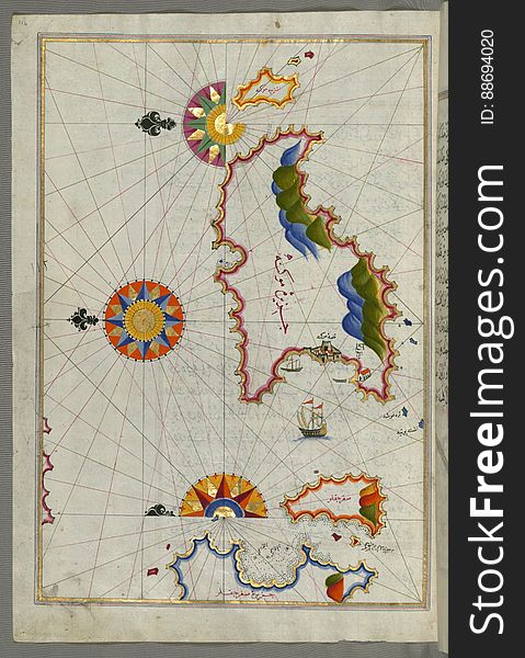
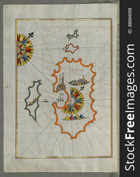
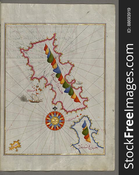
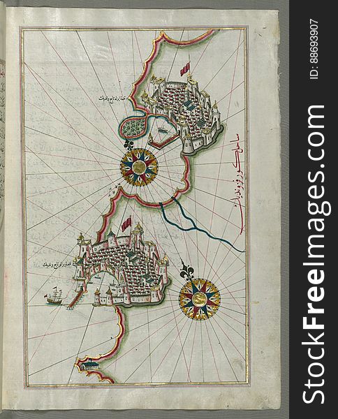
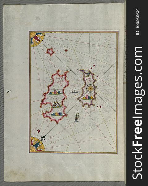
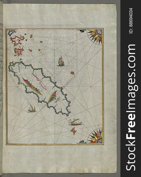
The island of Cos (Stancho, İstanköy) facing the Anatolian mainland from Book on Navigation, Walters Art Museum Ms. W.
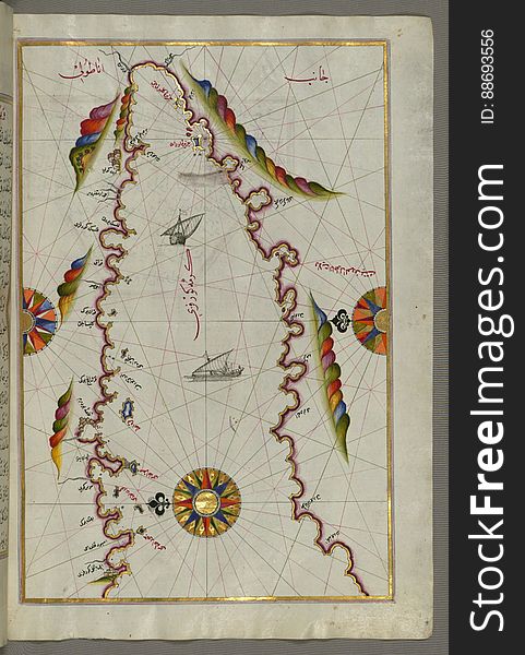
Anatolian coast and the small Kara (Qarah) island east of the town of Balat from Book on Navigation, Walters Art Museum
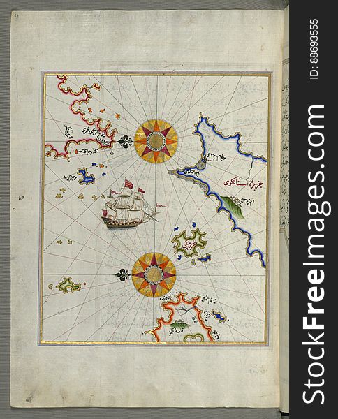
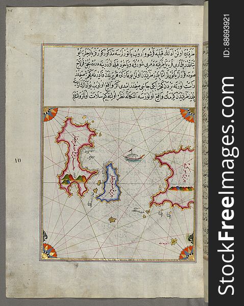
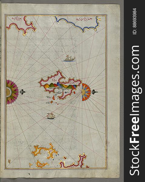
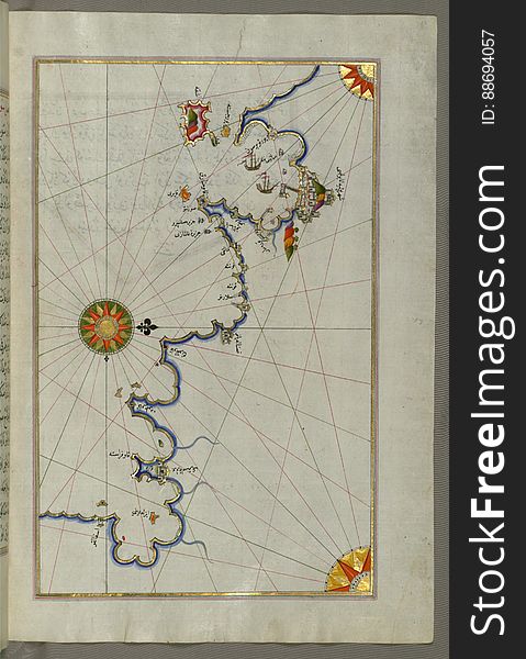
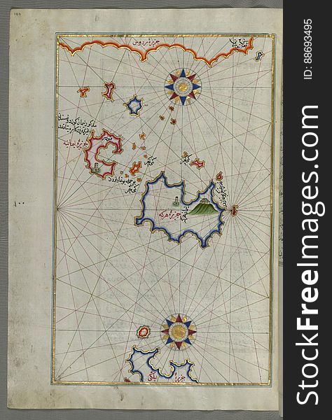
The Bay of Kerme east of east of Cos (Stancho, İstanköy) island from Book on Navigation, Walters Art Museum Ms. W.658
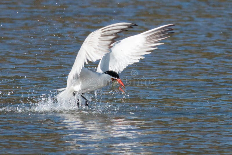
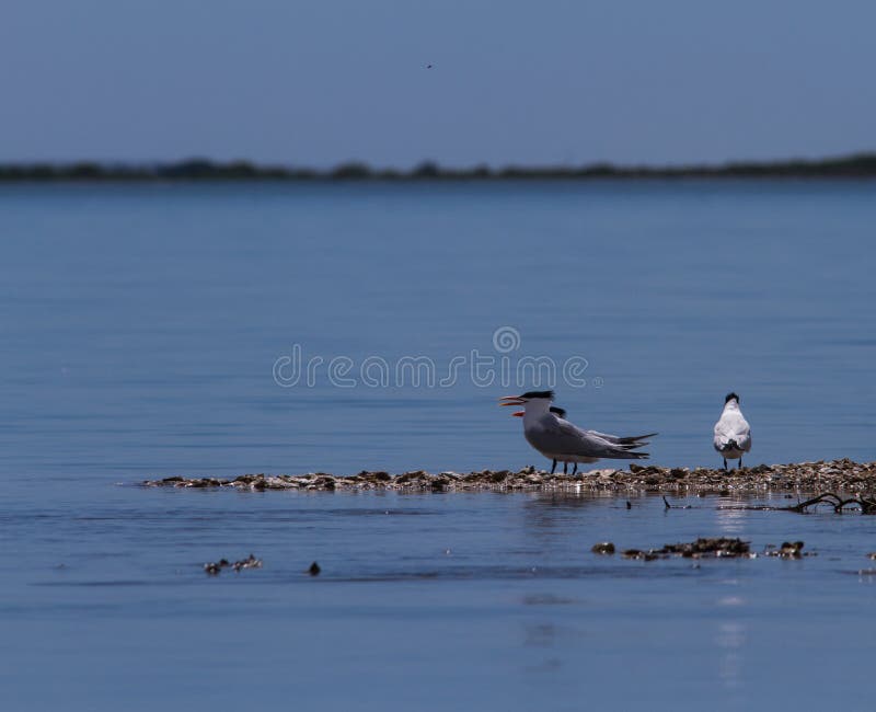
Caspian tern catches a fish from the lake and grasps it in his b
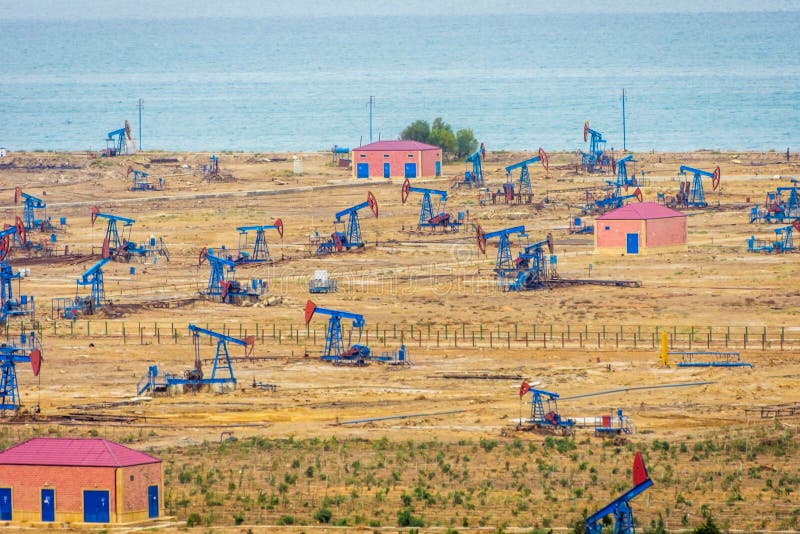
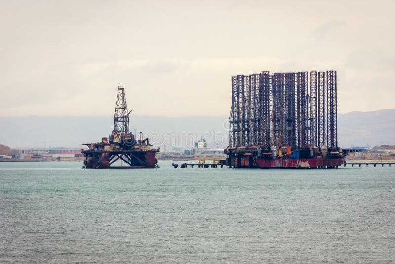
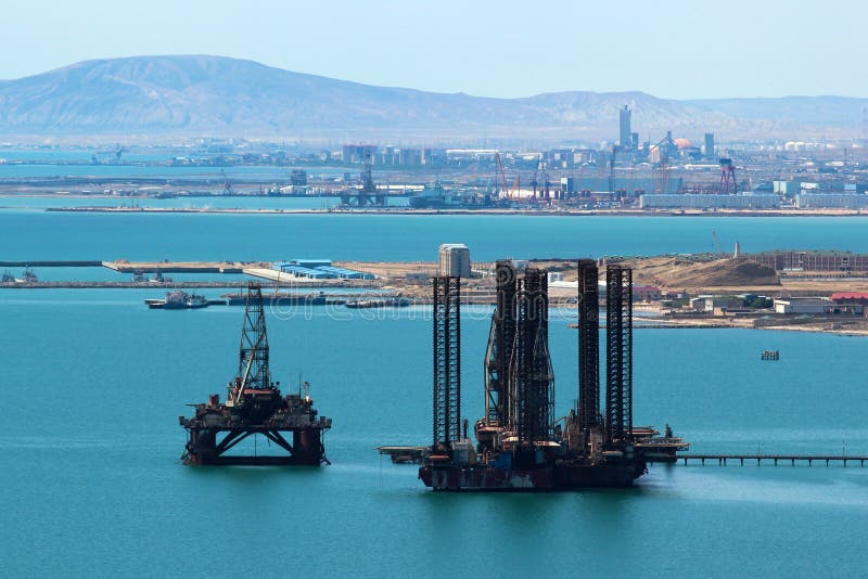
Oil pumps and rigs by the Caspian coast
Illuminated Manuscript, Map of the Italian coastline south of Ancona including Tronto from Book on Navigation, Walters Art Museum
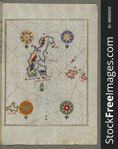
Illuminated Manuscript Tinos (İstendil) island in the Aegean Sea, from Book on Navigation, Walters Art Museum Ms. W.65
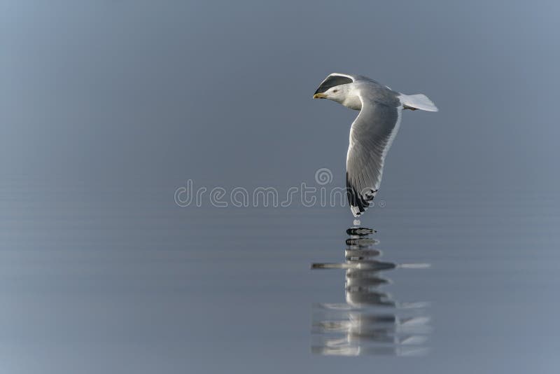
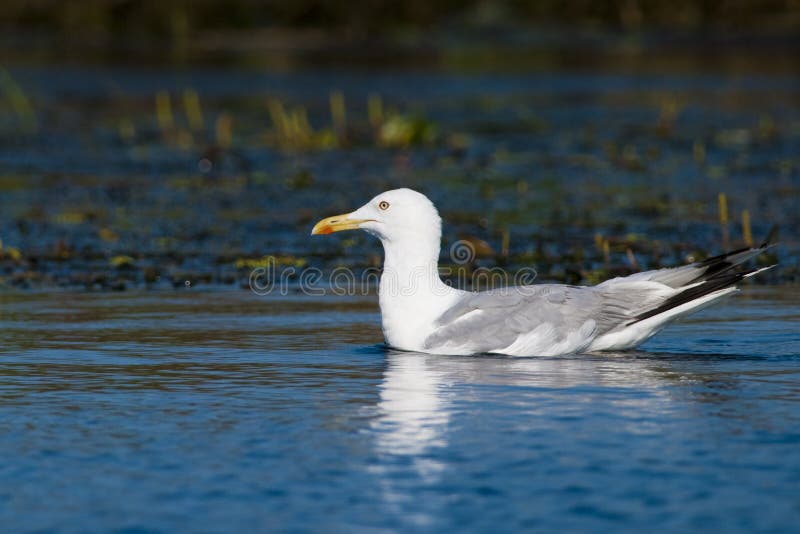
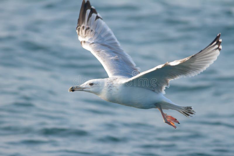
Caspian Gull Larus cachinnans in flight.
Illuminated Manuscript, Map of The Bay of Corinth from Book on Navigation, Walters Art Museum Ms. W.658, fol.137a
Oil tanker and platform on Caspian sea
Illuminated Manuscript, Map of the coastline from Novi Grad as far as Umag (Umago, Ūmāghū) (Croatia) from B
Illuminated Manuscript Mykonos island in the Aegean Sea, from Book on Navigation, Walters Art Museum Ms. W.658, fol.116a
Illuminated Manuscript, Map of the Italian coast south of Ancona as far as the town of Pescara (Beshāre) from Book on N
Illuminated Manuscript, Map of the western part of the city of Venice (Venedīk) from Book on Navigation, Walters Art Mu
Illuminated Manuscript, Map of Premuda (Premūde Venedīk) island west off the Pag Island (Croatia) from Book
Illuminated Manuscript, The Islands of Corfu (Kerkira, Kūrfūz) and Paxi (Paxoi) from Book on Navigation, Wal
Illuminated Manuscript The islands of Delos and Rineia west of Mykonos island in the Aegean Sea, from Book on Navigation, Walters
Illuminated Manuscript Map of the area west of the island of Thasos (Taşöz) and the Ayion Oros Peninsula, from Book on
Illuminated Manuscript The Methana (Mutūn) fortress in the Saronikos (Aiyina) Bay, from Book on Navigation, W
Illuminated Manuscript, The western coast of Greece from the island of Levcas (Lefkada, Leucas, Santa Maura) going north
Illuminated Manuscript, Map of the coastline and the islands off Zadar (Zādare)(Croatia) from Book on Navigat
Illuminated Manuscript, Map of the Italian coastline from Rimini south towards Pesaro from Book on Navigation, Walters Art Museum
Illuminated Manuscript Messiniakos Bay (Bay of Messini), fr, om Book on Navigation, Walters Art Museum Ms. W.658, fol.12
Illuminated Manuscript Map of the Bay of Salonica (Selānīk,Thessalonici) and the western coastline, from Book on Navig
Illuminated Manuscript, Map of the Dalmatian Islands: Korčula (Qūrsūlah) and Lastovo (Augusta) off the coas
Illuminated Manuscript, Map of the coastline from Marano (Mūrān) to Caorle (Qāvarlī), Province of Venice f
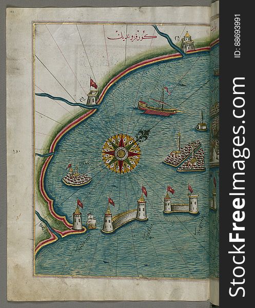
Illuminated Manuscript, Map of the fortress of Trieste (Rishtī) (Italy) from Book on Navigation, Walters Art
Illuminated Manuscript Argolikos (Anaboli) Bay and Peloponnese (Morea, Mora) peninsula , from Book on Navigat
Illuminated Manuscript The island of Syros (Sire) in the Aegean Sea, from Book on Navigation, Walters Art Museum Ms. W.6
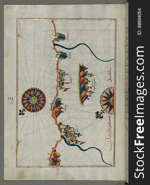
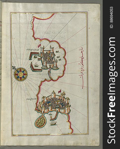
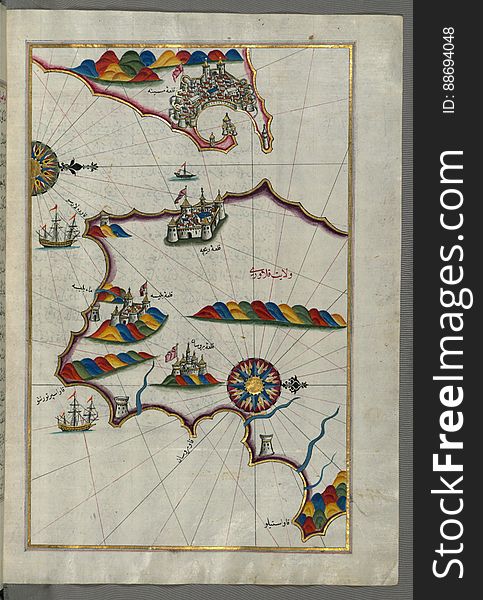
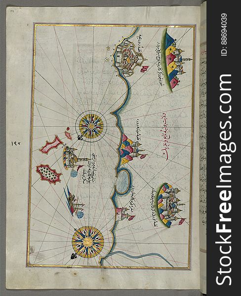
Illuminated Manuscript, Map of the town of Bari and the surrounding area from Book on Navigation, Walters Art Museum Ms. W.658, fo
Illuminated Manuscript, The island of Andros (Andre, Andra) in the northern Aegean Sea, from Book on Navigation, Walters
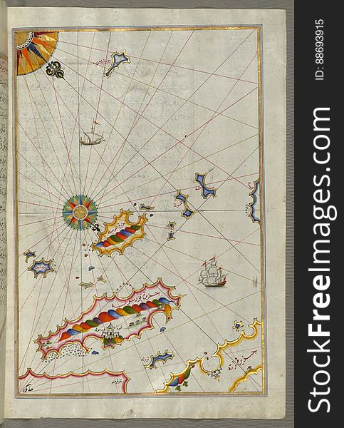
Illuminated Manuscript The Island of Amorgos (Yamurgi, Yamorki) in the southeastern Aegean Sea, from Book on Navigation
Caspian Gull on water
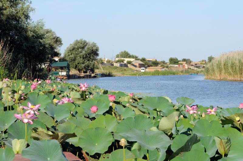
Blossoming Caspian lotus field near the village in Volga delta
Illuminated Manuscript, Map of the coastline from Piran (Pirānū) as far as Izola (Īzele) (Slovenia
Oil platform off the Caspian sea coast near Baku, Azerbaijan
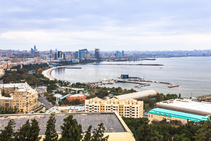
Baku and Caspian Sea
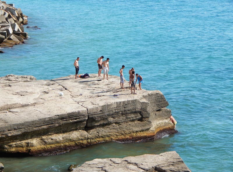
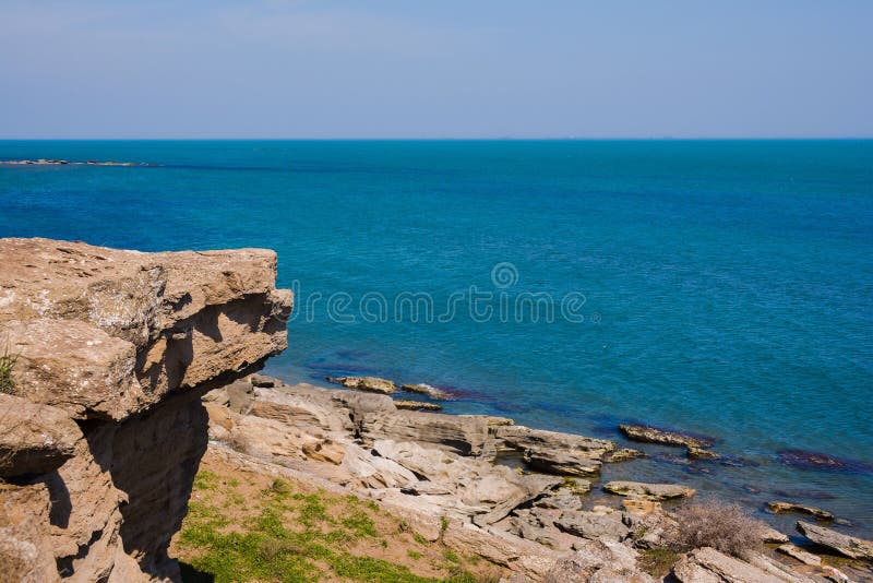
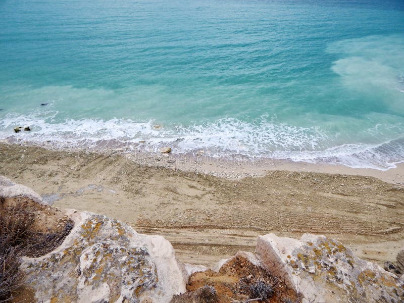
Seashore, rocks, blue water, Caspian sea
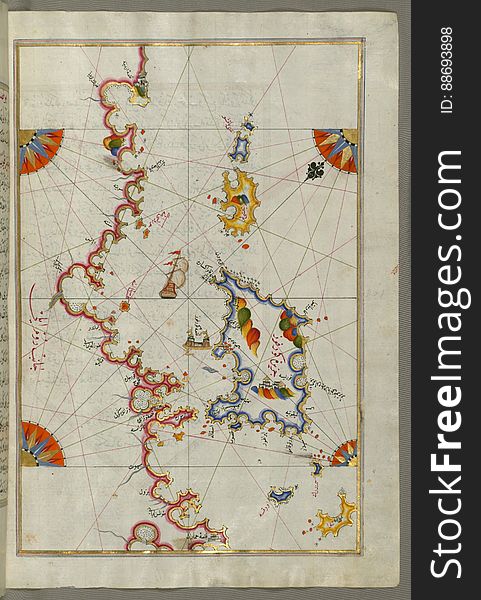
Illuminated Manuscript, Map of two as yet unidentified islands in the vicinity of Pag Island (Croatia) from Book on Nav
Illuminated Manuscript, Book on Navigation, Walters Art Museum Ms. W.658, Illuminated Manuscript of Three hundred and sixty Sufi q
Caspian Tern
Illuminated Manuscript, Map of the coastline from Muggia (Milje, Mūye) to Trieste (Rishtī) (Italy)
Illuminated Manuscript, Eastern part of the Peloponnese (Morea, Mora) peninsula from Book on Navigation, Walters Art Mu
Caspian gull flying above the blue ocean
Illuminated Manuscript The stretch of water between the Peloponnese (Morea, Mora) peninsula and the Island of Crete wit
Coast of the Caspian Sea.
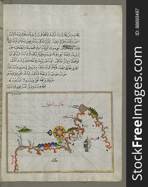
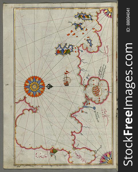
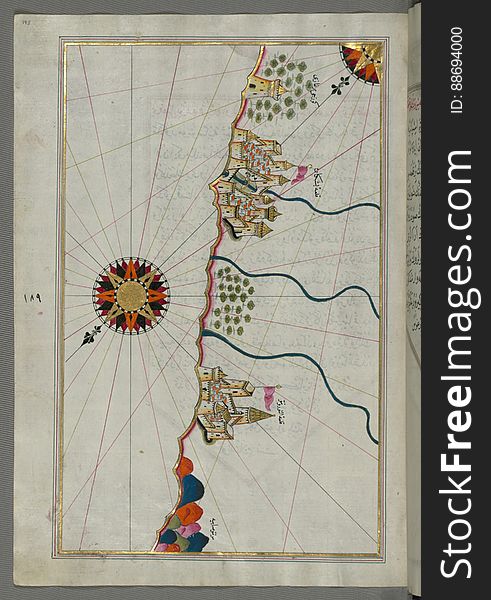
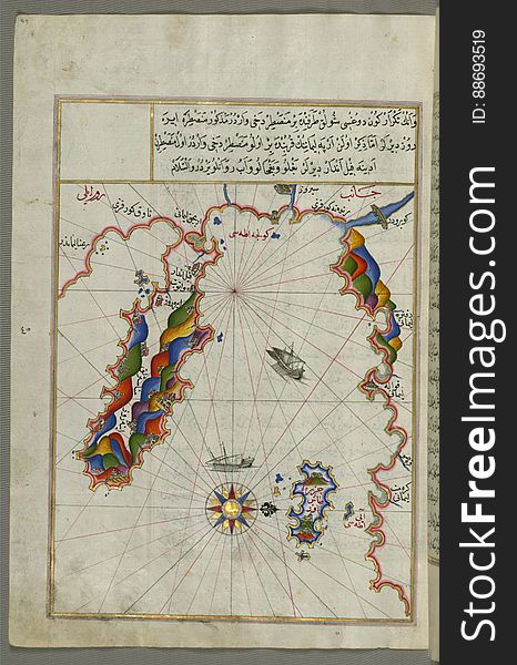
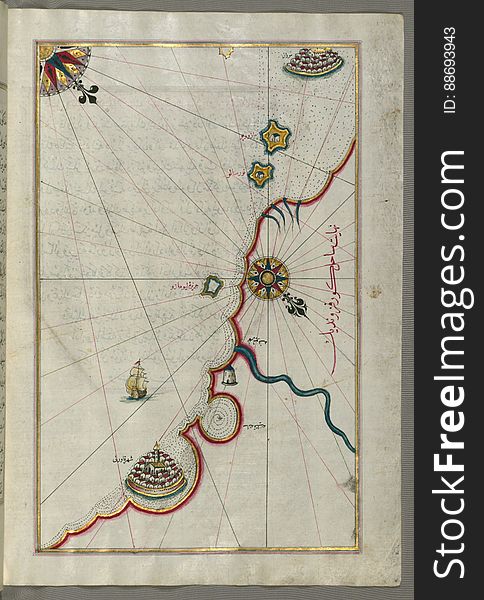
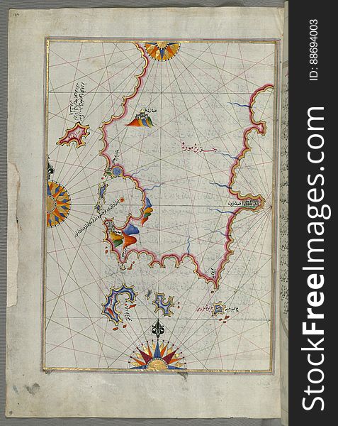
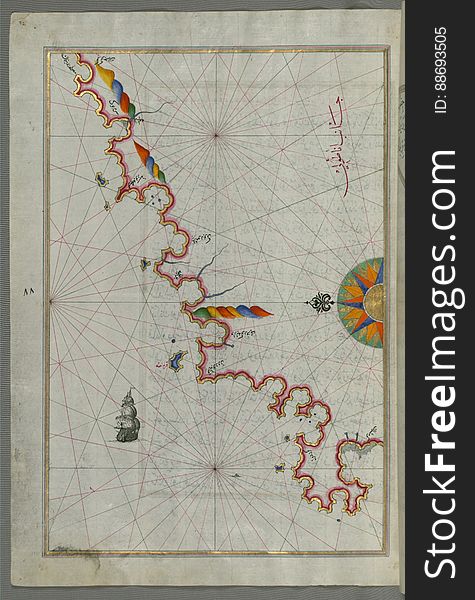
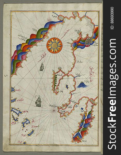
The Anatolian coast along the Kerme Bay from Book on Navigation, Walters Art Museum Ms. W.658, fol. 92a
Illuminated Manuscript, Map of the coastline from Izola (Īzele) as far as Koper (Capodistria, Dishtriye) 
Illuminated Manuscript, Map of the western Italian coast as far as Naples (Pūlye Anāpūlīsī)and the island if Ischia
Illuminated Manuscript Island of Ikaria (Ahikere) in the eastern Aegean sea west of Samos (Ṣūṣām), from
Chalkis (Herke) island off Rhodes Island from Book on Navigation, Walters Art Museum Ms. W.658, fol.104a
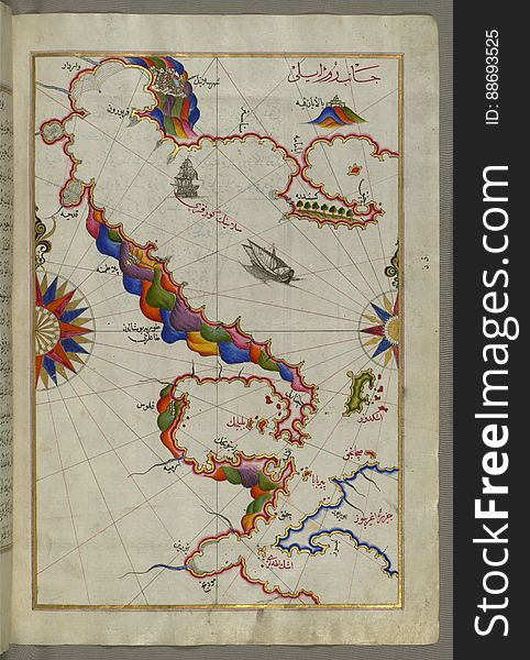
Illuminated Manuscript, Map of the Southern part of the Calabrian peninsula and the straits of Messina (Mesīne) from Bo
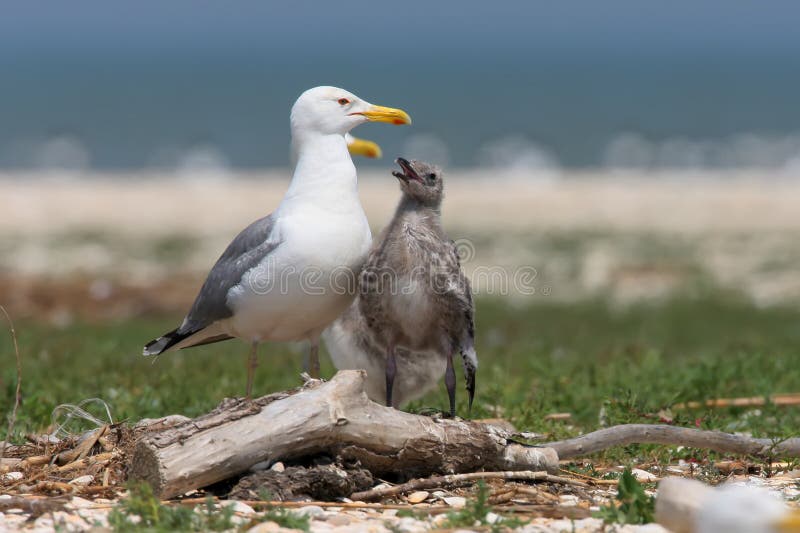
The Caspian gulsl Larus cachinnans with chick
Illuminated Manuscript, Map of the coastline from Poreč (Parenzo, Brānse) as far as Novi Grad (Croatia) from
Illuminated Manuscript, The Bay of Salonica (Selānīk, Thessaloniki), from Book on Navigation, Walters Art Museum Ms. W
Illuminated Manuscript, Map of the Italian coast between Termoli and Peschici from Book on Navigation, Walters Art Museum Ms. W.65
Next page
3
/ 7
Home
Search for Caspian free images