Browse categories
Log in
Sign up
Capes Free Stock Images
Related searches:
south west landscapes
california home landscapes
chilean landscapes
garlic scapes cloves
landscapes
south chilean landscapes
chile landscapes
landscapes
absolutely stunning landscapes
oil painting landscapes
oil landscapes
portugal landscapes
winter landscapes
landscapes ice cream
landscapes
landscapes green dunes
landscapes hump
ai landscapes
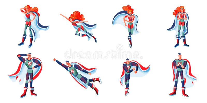
heroes
cape
Safe search
Include:
RF-LL
Public Domain
Black capes set on white background.
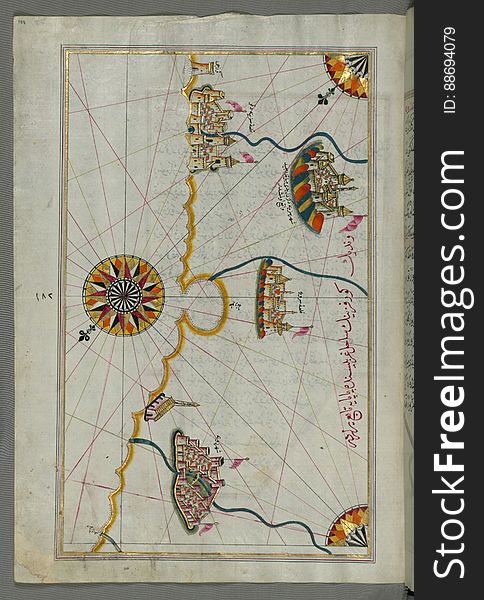
Illuminated Manuscript, Map of the Algerian coast around Algiers (Jazāʾir) from Book on Navigation, Walters Art Museum
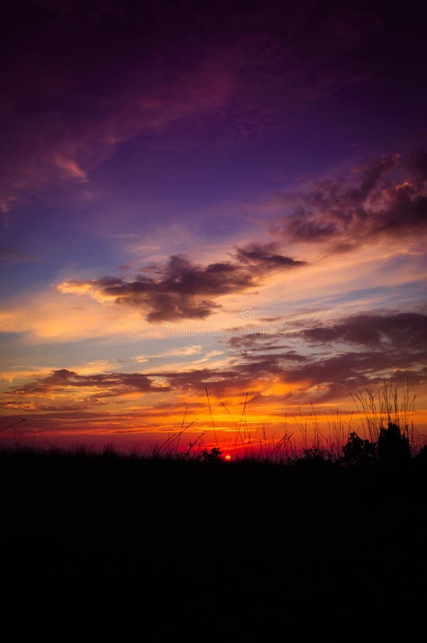
Epic Pastoral Seascape Sunset
Illuminated Manuscript, Map of the coast of Andalusia from Valencia (Valense) to Cartagena (Qarte Cine) from B
Super businessman in red capes flying upwards to his success.
Mom dad and little foxy lady playing cartoon characters wear superhero capes isolated yellow background
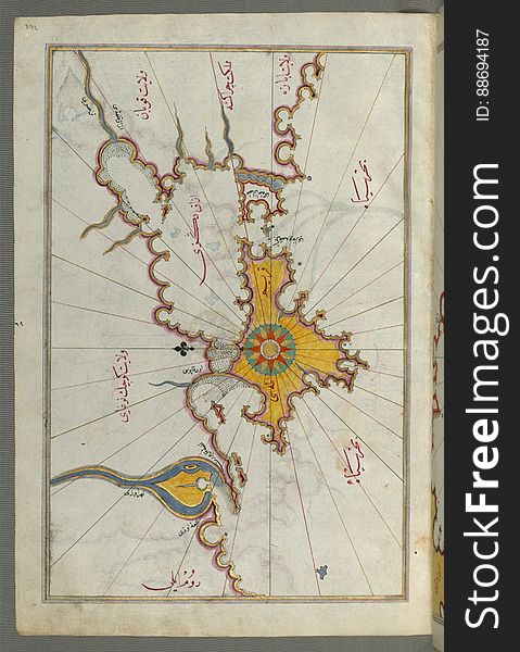
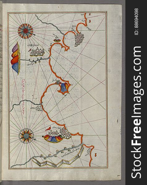
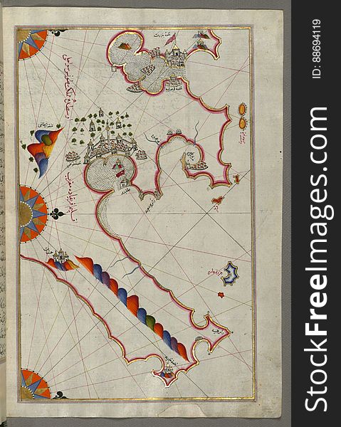
Illuminated Manuscript, Map of the island of Marmara in the sea of Marmara from Book on Navigation, Walters Art Museum Ms. W.658
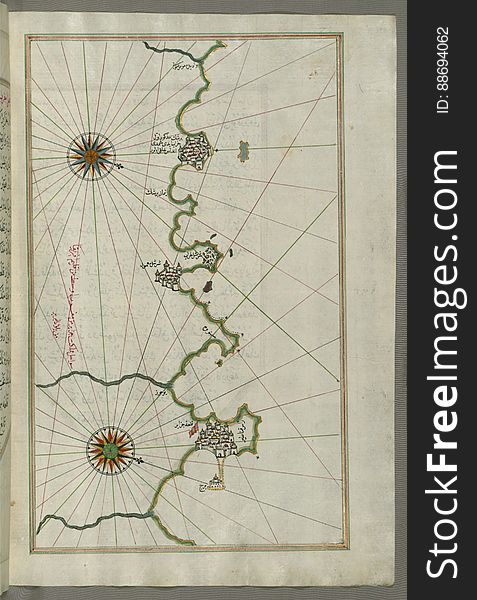
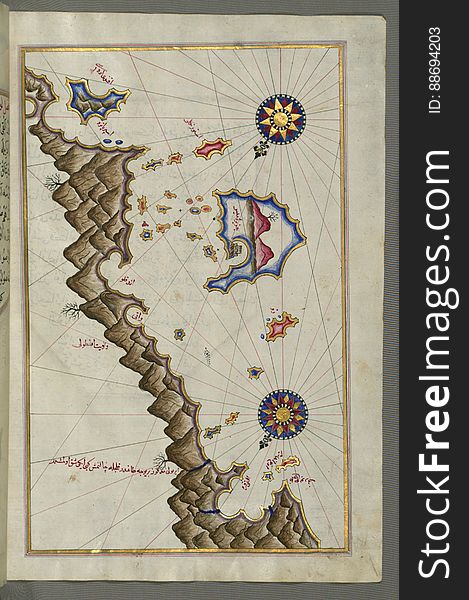
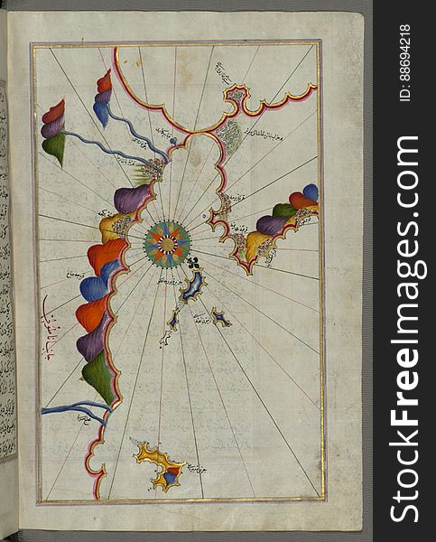
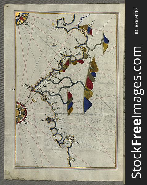
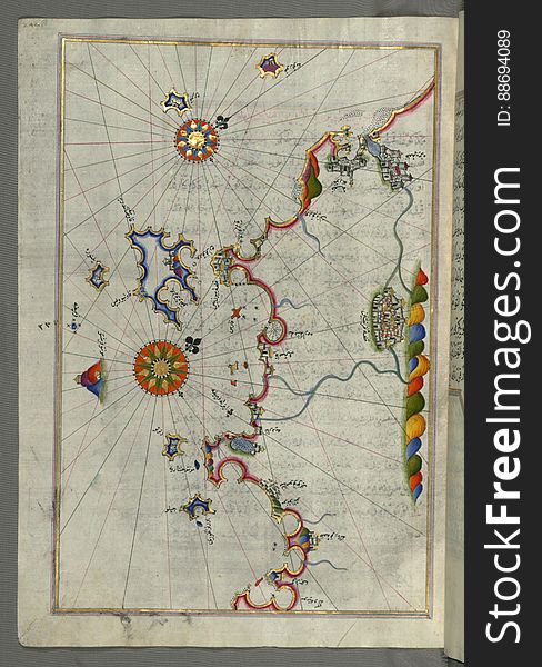
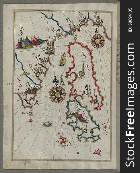
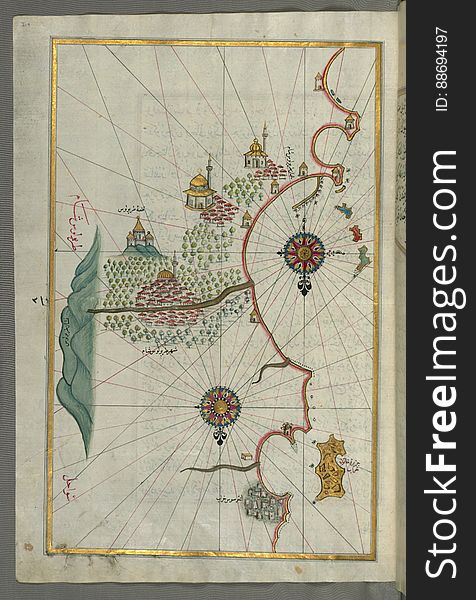
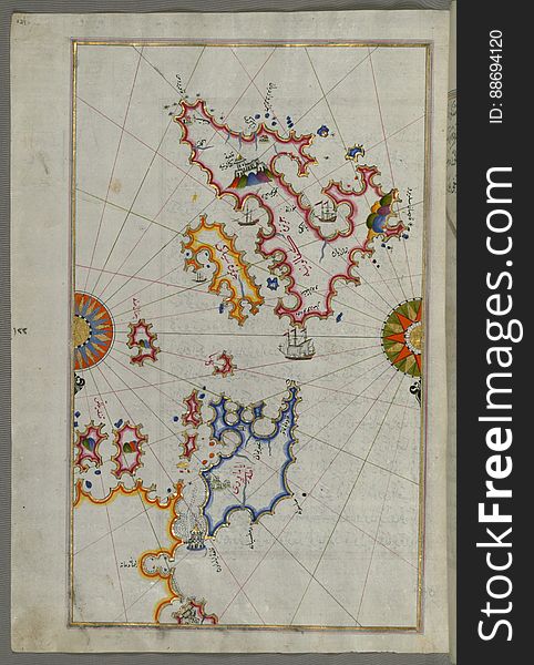
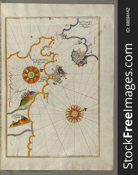
Illuminated Manuscript, Map of some unidentified islands off the southern Anatolian coast from Book on Navigation, Walters Art Mu
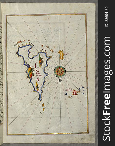
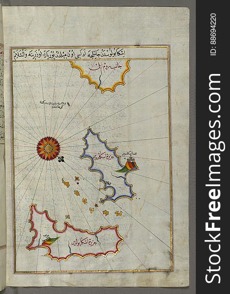
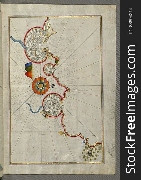
Illuminated Manuscript, Map of Skyros (İskire) island from Book on Navigation, Walters Art Museum Ms. W.658, fol.362b
Illuminated Manuscript, Map of the Algerian coast from Algiers (Jazāʾir) to Bejaia (Bajāyah) from Book on N
Superhero in costumes set. Cartoon comic heros with capes vector illustration. Man and woman with powers posing isolated
Illuminated Manuscript, Map of the eastern part of the city of Venice (Venedīk) from Book on Navigation, Walters Art Mu
Illuminated Manuscript, Map of the coast of Tripoli (Ṭarābulus) (Libya) from Book on Navigation, Walters Ar
Illuminated Manuscript, Map of the Island of Cyprus (Qibrīz, Kıbrıs) from Book on Navigation, Walters Art Museum Ms.
Illuminated Manuscript, Map from Book on Navigation, Walters Art Museum Ms. W.658, fol.363b
Illuminated Manuscript, Map of the coast of Tunisia with the ports of Bizerte (Binzert) and Tunis (Ṭūnūs)
Illuminated Manuscript, Map from Book on Navigation, Walters Art Museum Ms. W.658, fol.367b
Illuminated Manuscript, Map of unmarked part of the Egyptian coastline from Book on Navigation, Walters Art Museum Ms. W.658, fol.
Illuminated Manuscript, Map of the city of Damietta (Shahr-i Dumyād) on the Egyptian coast from Book on Navigation, Wal
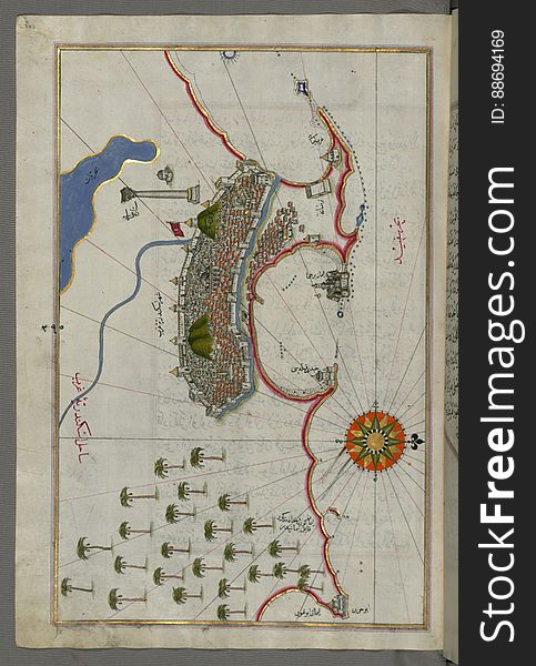
Illuminated Manuscript, Map of the city of Alexandria (Iskandarīyah) (Egypt) from Book on Navigation, Walters
Illuminated Manuscript, Map of the French coast from the Italian border as far as Nice (Nīse) from Book on Navigation
Illuminated Manuscript, Map of the coastline from Mafredonia as far as Barletta on the Italian coast from Book on Navigation, Walt
Illuminated Manuscript, Map of the Crimea (Qrīm), the Sea of Azov, and the mouth of the Dnieper from Book on Navigation
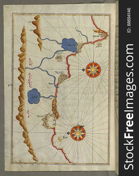
Illuminated Manuscript, Map of the Anatolian coast and the cities Adana (Antioch in Cilicia) and Tarsus (Turkey
Illuminated Manuscript, Map of the Anatolian coast as far as Alanya (ʿAlāʾiye, Alaiye) from Book on Navigation, Walte
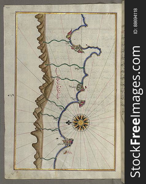
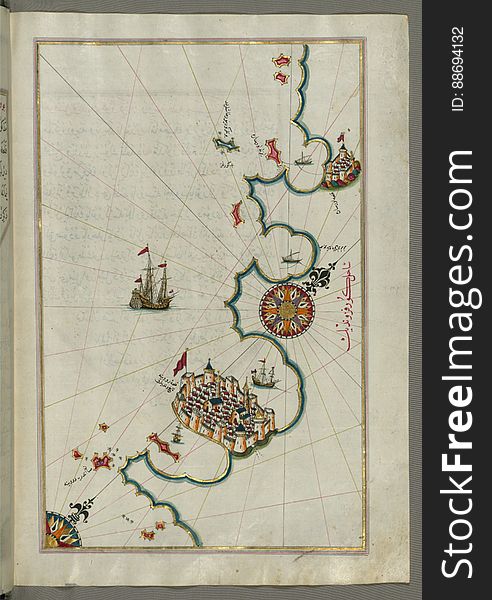
Illuminated Manuscript, Map of the Anatolian coast from Alanya (ʿAlāʾiye Alaiye) to Andalye (Antalya, formerly k
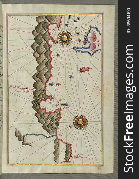
Illuminated Manuscript, Map of unidentified islands off the southern Anatolian coast from Book on Navigation, Walters Art Museum
Illuminated Manuscript, Map of the Egyptian coast from Matrūḥ east towards Alexandria from Book on Navigation, Walters Art Muse
Illuminated Manuscript, Map of the western Italian coast as far as the city of Pisa (Pīze) from Book on Navigation, Wal
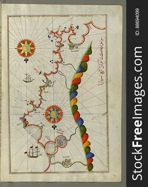
Illuminated Manuscript, Map of the Tunisian coast with the fortress of Mahdīyah and the Island of Jarbah (Jerba) from B
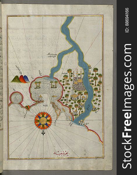
Illuminated Manuscript, Map of towns and oasis along the river Nile beginning with Būlāq (south of Cairo) from Book on
Illuminated Manuscript, Map of the Anatolian coast from Alanya (ʿAlāʾiye Alaiye) to Andalye (Antalya, formerly k
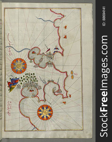
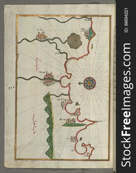
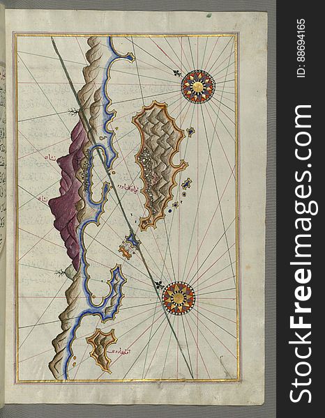
Illuminated Manuscript, Map of Cres (Cherso, Qārsū), Lošinj (Feghāle) and Unije islands (Croatia)
Illuminated Manuscript, Map of the Libyan coast towards to Egyptian border from Book on Navigation, Walters Art Museum Ms. W.658
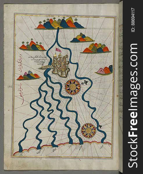
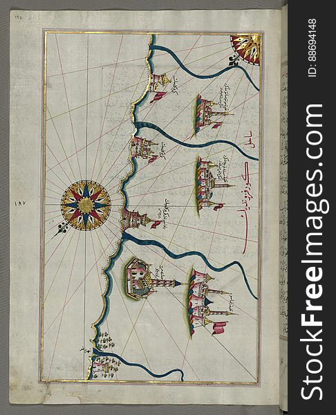
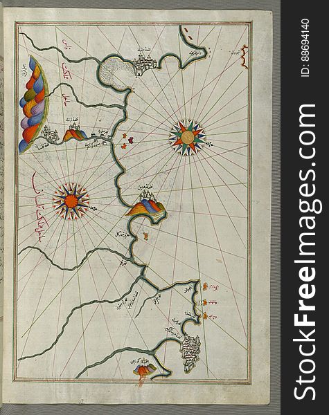
Illuminated Manuscript, Map of the city of Ferrara with the six rivers flowing into the Gulf of Venice from Book on Navigation, Wa
In full growth. two screaming businessman in superhero capes.
Two business leaders in superhero capes standing together.
Illuminated Manuscript, Map of the Egyptian coast from Alexandria (Iskandarīyah) as far as the city of Rashīd (Ro
Children Pretending To Have Super Powers Dressed In Superhero Costumes With Capes And Masks Set Of Smiling Characters
Illuminated Manuscript, Map of the city of Tripoli (Ṭarābulus–i Shām) (Lebanon) from Book on Navigation
Cute Kids Wearing Superhero Costumes Set, Super Children Characters in Masks and Capes in Different Pose Vector
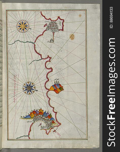
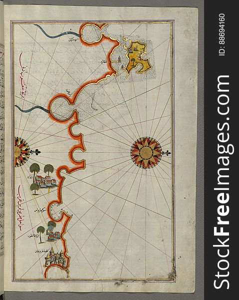
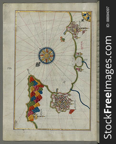
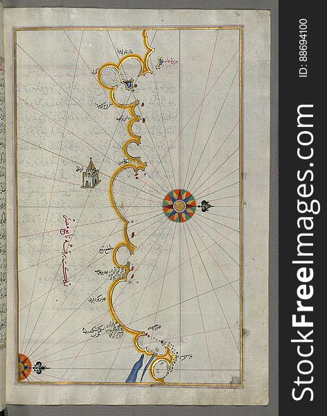
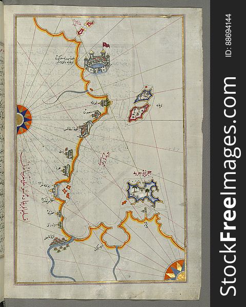
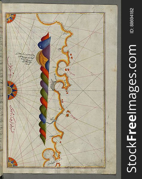
Illuminated Manuscript, Map of the Islands off the shores of Finike (Turkey) from Book on Navigation, Walters Art Museum
Illuminated Manuscript, Map of fortresses and towns south of Ancona, including Loreto from Book on Navigation, Walters Art Museum
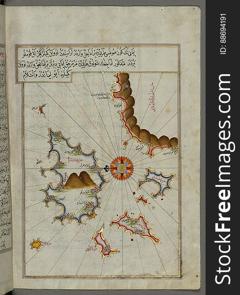
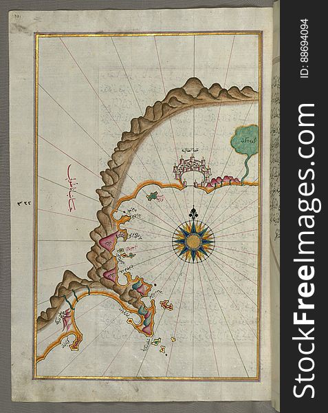
Illuminated Manuscript, Map of a fragment of the Island of Crete from Book on Navigation, Walters Art Museum Ms. W.658, fol.351b
Illuminated Manuscript, Map of the coastline from Rovinj north (Croatia) from Book on Navigation, Walters Art Museum Ms.
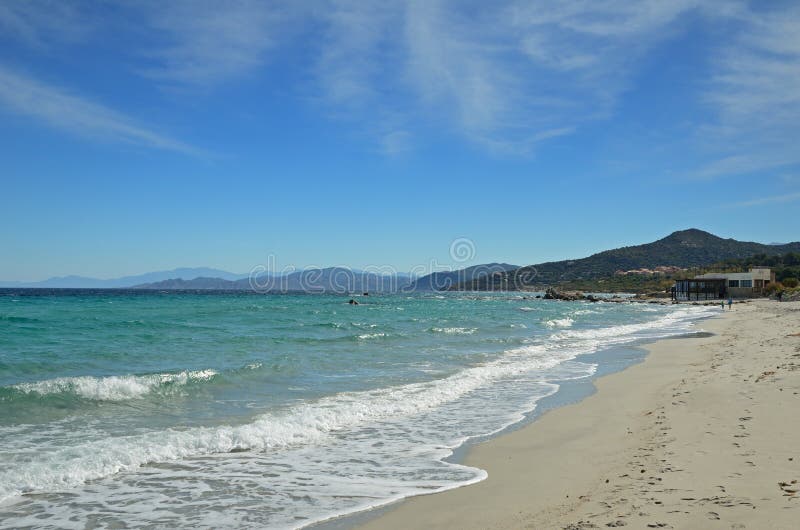
Sandy beach in the Corsican town l Iles-Rousse
Illuminated Manuscript, Map of the eastern Mediterranean coast and city of Tripoli (Ṭarābulus–i Shām) (Lebano
Illuminated Manuscript islands of Ikaria (Ahikere) and Samos (Ṣūṣām) in the eastern Aegean Sea, from Boo
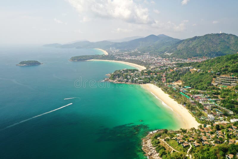
Aerial view the 3 Beaches Phuket Viewpoint popular landmark in Phuket, Thailand.
bunch of white sage on the table, Tibetan capes in the background.
Illuminated Manuscript, Map of the Italian coastline with the cities of Ravenna (Ruvenne) and Cesena (Sazīne)
Illuminated Manuscript, Map of the Algerian coast around Ora from Melilla (Malīlah) and northwest of Tlemcen (Tili
Business women wearing formal office costumes with red superhero capes. Female characters in different poses. Successful
Epic Pastoral Seascape Sunset
Illuminated Manuscript, The islands of Kefalonia (Kefallinia, Kafālūnye), Ithaca (Ithaki, Seyākī) and Aya
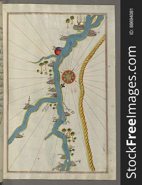
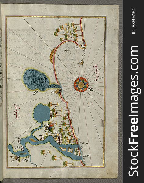
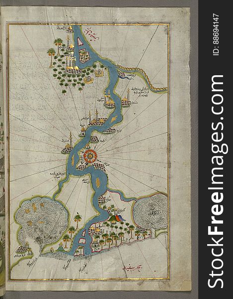
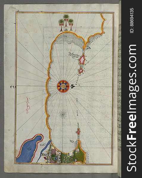
Illuminated Manuscript, Map of the river Nile from its estuary south from Book on Navigation, Walters Art Museum Ms. W.658, fol.30
Crazy dad mom and foxy daughter moving up air raise fists wear superhero capes isolated yellow background
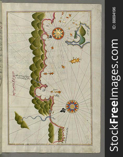
Illuminated Manuscript, Map of the Moroccan and Algerian coast from Melilla (Malīlah) and northwest of Tlemcen (Ti
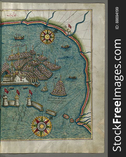
Illuminated Manuscript, Map of the coast of Alexandria (Iskandarīyah) showing a portion of the town itself from Book on
Illuminated Manuscript, Map of some unidentified islands off the southern Anatolian coast from Book on Navigation, Walters Art Mus
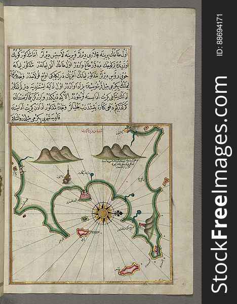
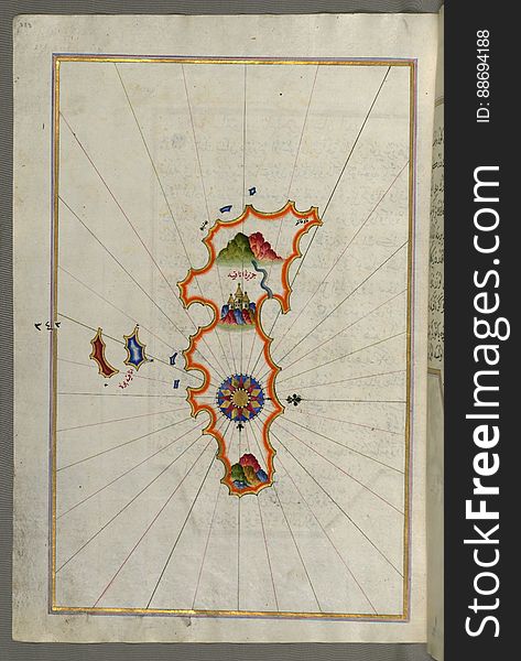
Illuminated Manuscript, Map of the Island of Anafi (Anāfiyah), east of Thera (Thira) from Book on Navigation
Illuminated Manuscript, Map of Southern Spain and Morocco with the cities of Gibraltar (Jabal-i Fatḥ), Ceuta (Sap
Illuminated Manuscript, Map of the Tunisian coast with the ports of Bizerte (Binzert) and Tunis (Ṭūnūs) as
Next page
3
/ 6
Home
Search for Capes free images