Browse categories
Log in
Sign up
Border Ireland Map Free Stock Images
Safe search
Include:
RF-LL
Public Domain
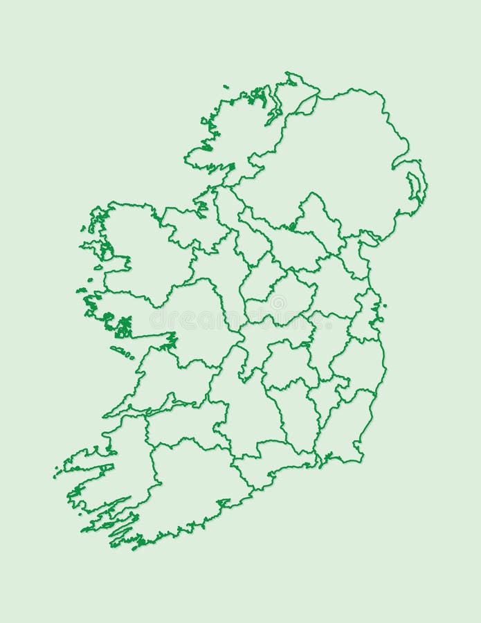
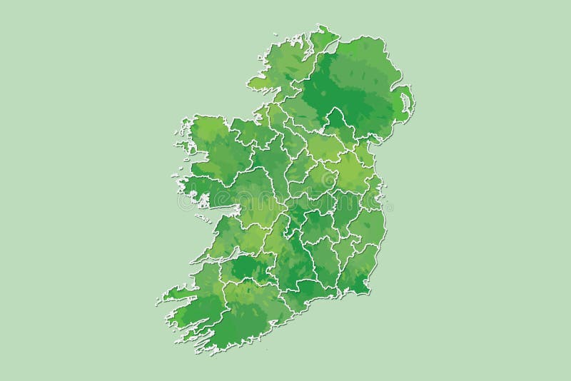
Ireland map vector with counties using green border lines on light background
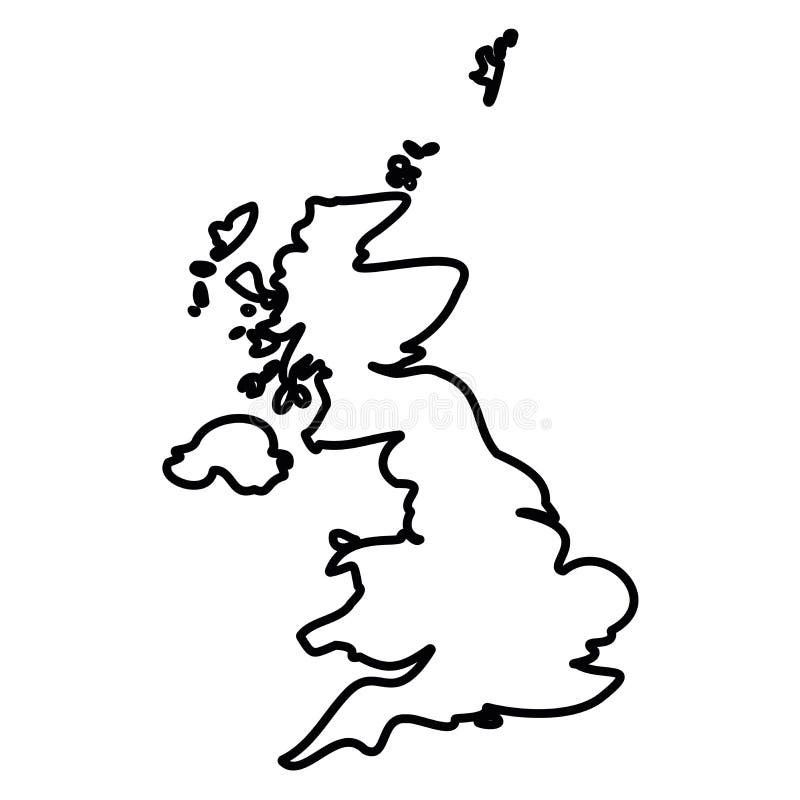
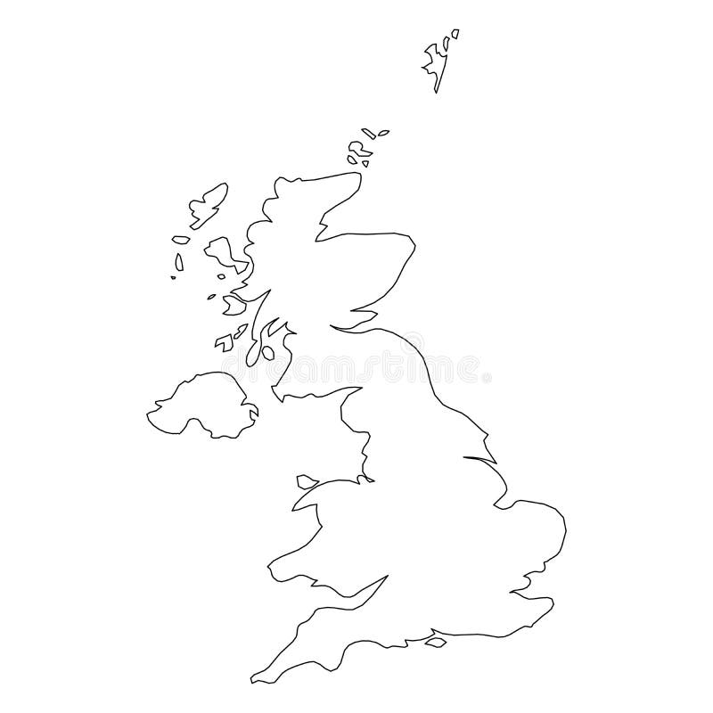
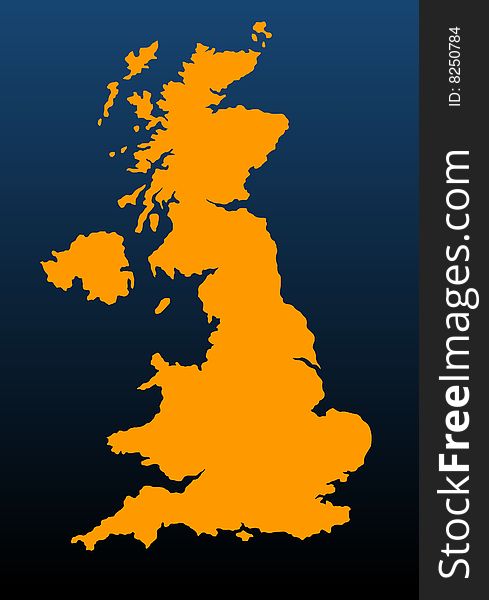
United Kingdom of Great Britain and Northern Ireland, UK - solid black outline border map of country area. Simple flat
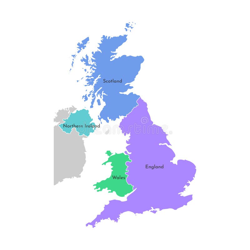
Vector isolated simplified map. Grey silhouette of the UK provinces. Border of Scotland, Wales, England, Northern Ireland
Ireland Welcome to Text and Country flag inside Country border Map Vector Design
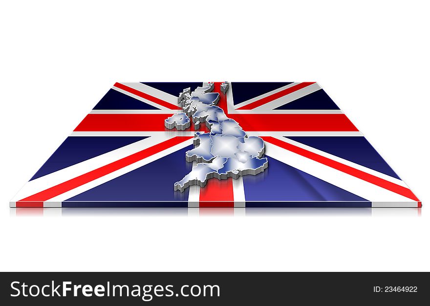
3D map of UK on a 3d flag
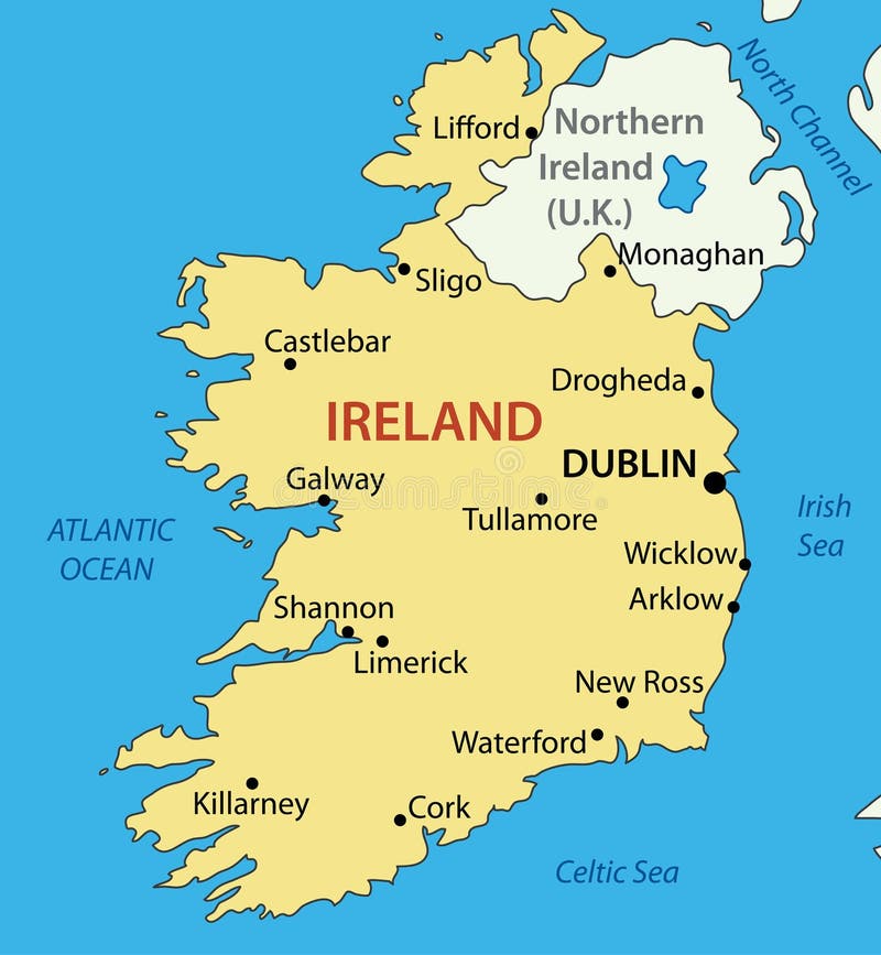
Ireland Location Map
Vector isolated simplified map. Border of administrative division - Scotland, Wales, England, Northern Ireland
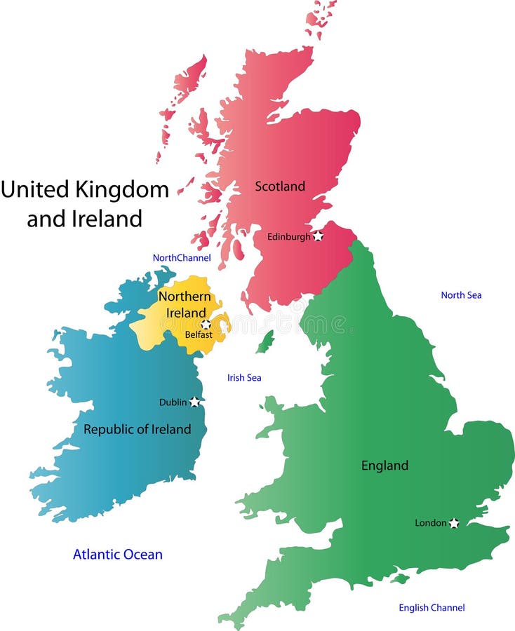
UK and Ireland map
Ireland map
United Kingdom of Great Britain and Northern Ireland, UK - solid black outline border map of country area. Simple flat
Dot Stroke Great Britain and Ireland Map
World map
Colorful vector isolated simplified map. Grey silhouette of the UK provinces. Border of Scotland, Wales, England, Ireland.
Map of ireland. High detailed vector map - ireland.
Contour map of Ireland
Euro
Dot Stroke Ireland Island Map
Republic of Ireland - map - vector
Ireland watercolor map vector illustration of green color with border lines of different regions or counties on light background
UK
Home
Search for Border ireland map free images