Browse categories
Log in
Sign up
Black Sea Turkey Free Stock Images
Related searches:
turkey volcano
Safe search
Include:
RF-LL
Public Domain
Wooden pier in Savsat Karagol Black lake in Eastern Black Sea Region, Turkey
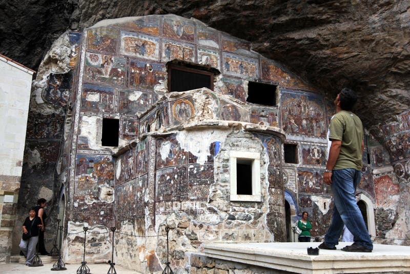
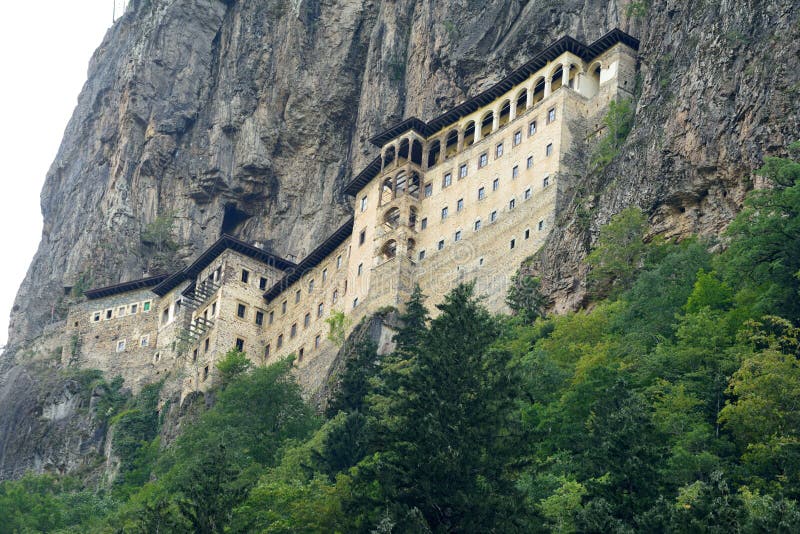
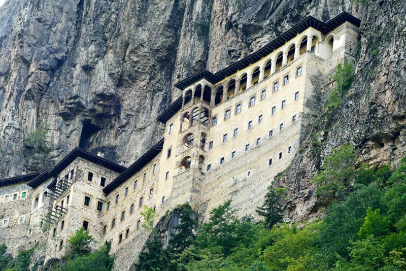
Sumela Monastery near Trabzon on the Black Sea coast of Turkey.
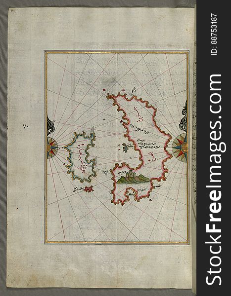
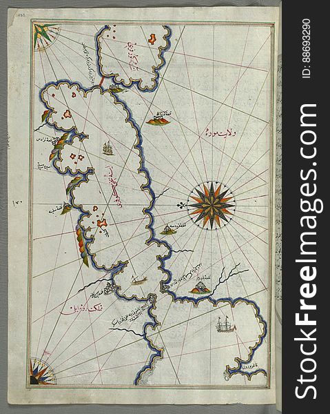
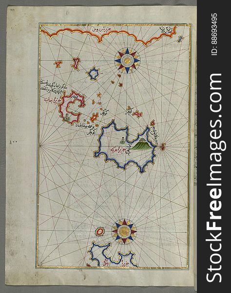
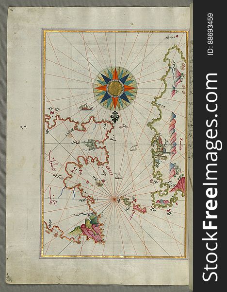
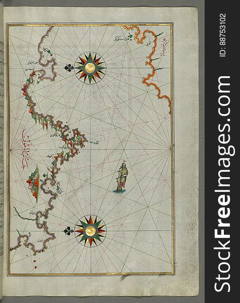
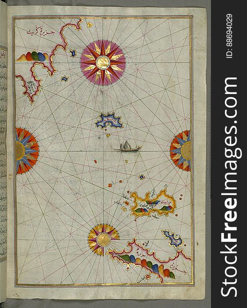
The island of Psara west of Chios, from Book on Navigation, Walters Art Museum Ms. W.658, fol.74a
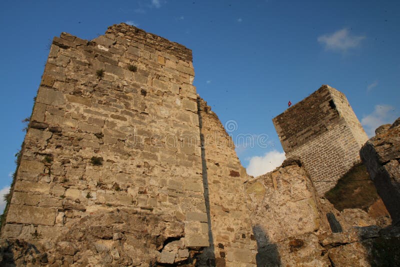
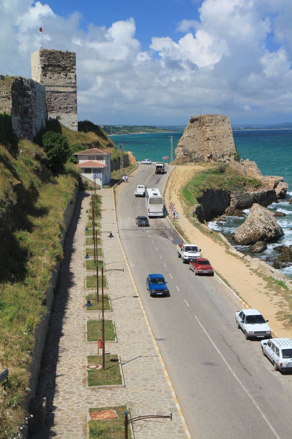
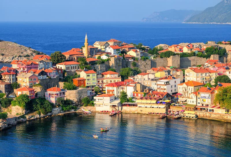
Sinop fortress
Sumela Monastery on the Black Sea coast of Turkey
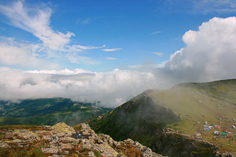
Highlands Of Black Sea Area,Turkey
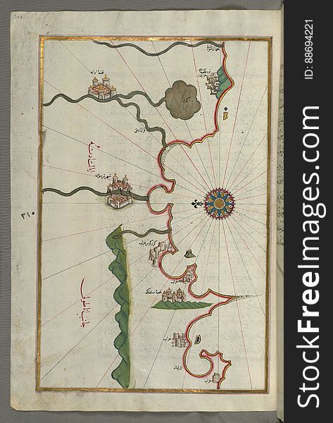
Illuminated Manuscript, Map of the Anatolian coast and the cities Adana (Antioch in Cilicia) and Tarsus (Turkey
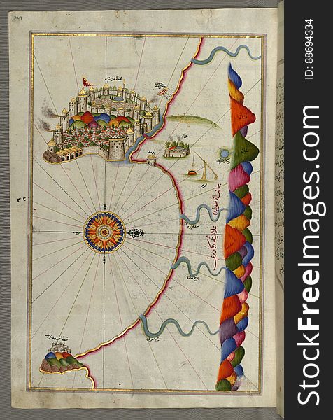
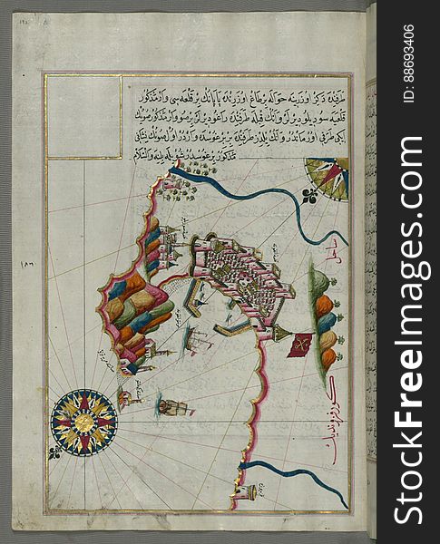
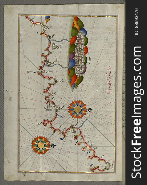
Illuminated Manuscript, Map of the fortress of Alanya (ʿAlāʾiye, Alaiye) (Turkey) from Book on Navigation
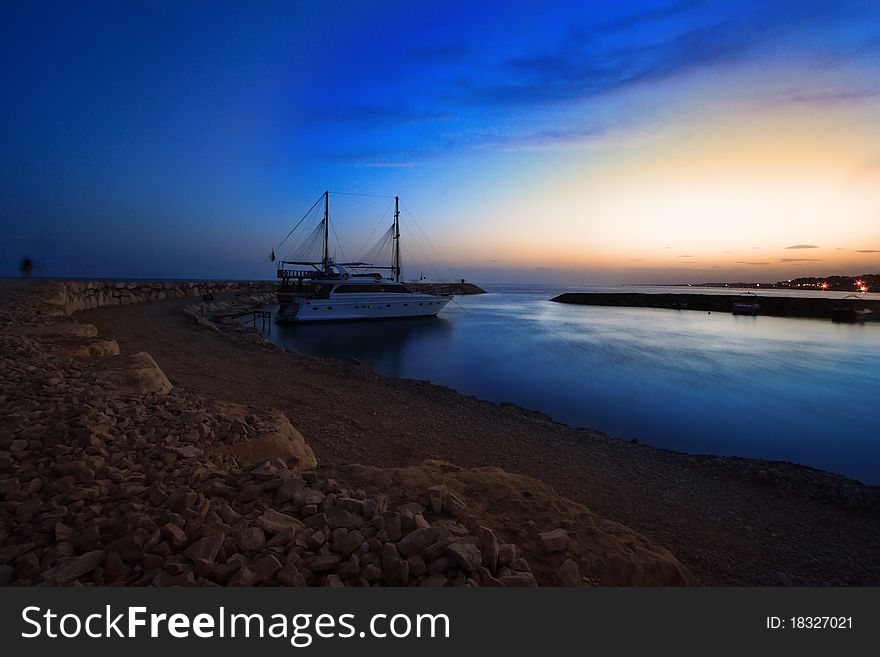
Dalgacı sükunet
Illuminated Manuscript Map of Saronikos (Aiyina) Bay, from Book on Navigation, Walters Art Museum Ms. W.658, fol. 133a
Holiday road
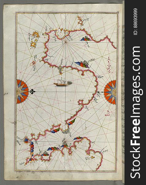
Chalkis (Herke) island off Rhodes Island from Book on Navigation, Walters Art Museum Ms. W.658, fol.104a
Inoboulou village
Sumela Monastery on the Black Sea coast of Turkey
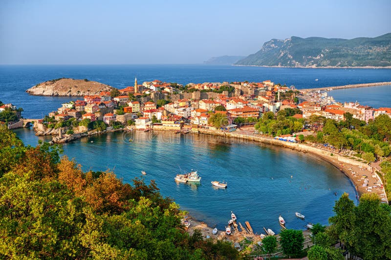
Amasra town on the Black sea coast, Turkey
Hagia Sophia Museum
Amasra resort town, Black Sea Coast, Turkey
Chios (Sakiz, Sāqiz) Island facing Kysos (Çeşme) fortress on the Anatolian side, from Book on Navigation, W
Illuminated Manuscript Argolikos (Anaboli) Bay and Peloponnese (Morea, Mora) peninsula , from Book on Navigat
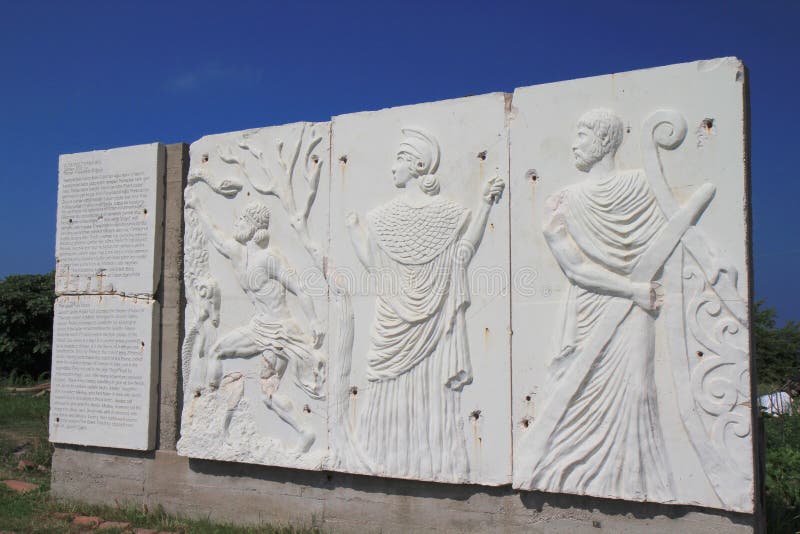
Greek history
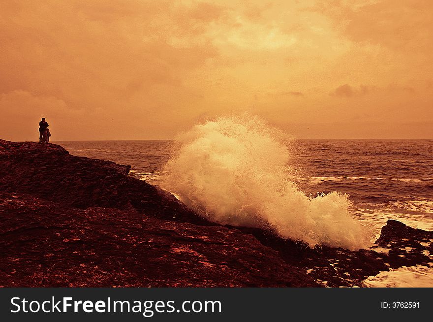
Sunset
Dalgacı sükunet 1
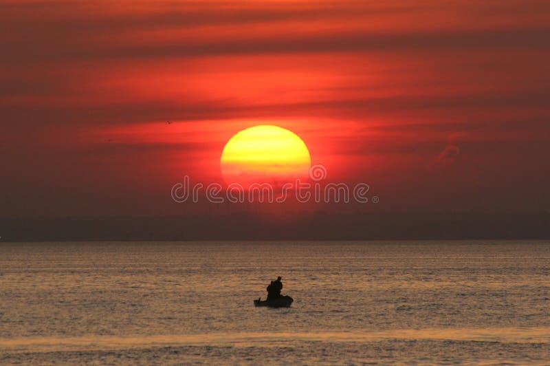
Two fishermen in boat at sunset
Sumela Monastery on the Black Sea coast of Turkey
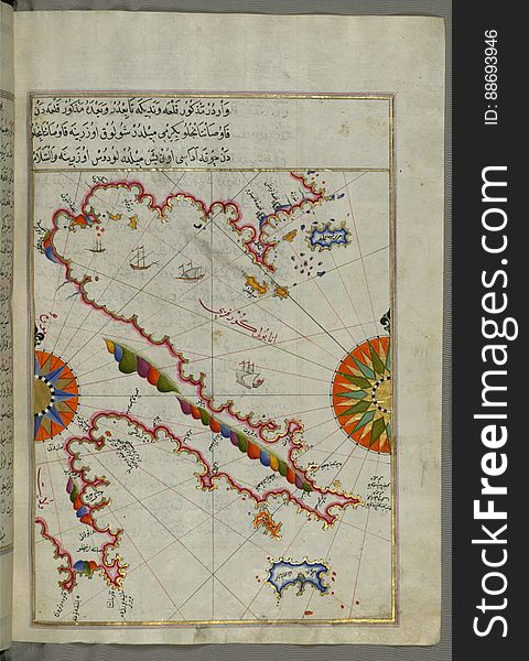
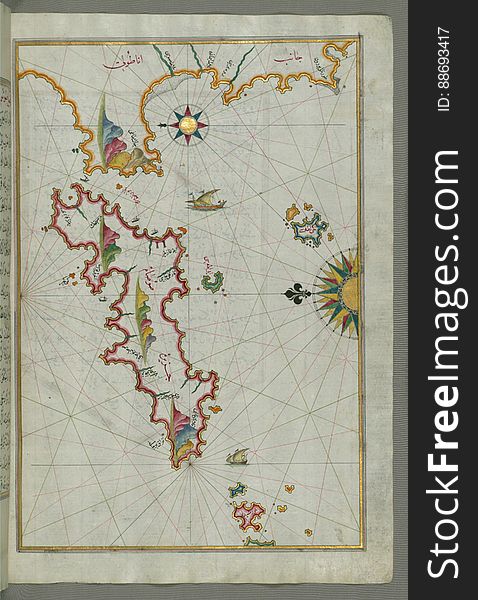
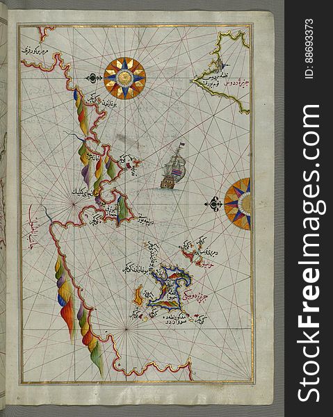
The Anatolian Coast facing Samos, from Book on Navigation, Walters Art Museum Ms. W.658, fol.75b
Dalgacı sükunet 2
Illuminated Manuscript Messiniakos Bay (Bay of Messini), fr, om Book on Navigation, Walters Art Museum Ms. W.658, fol.12
Illuminated Manuscript Map of the Islands of the Adriatic Coast from Book on Navigation, Walters Art Museum Ms. W.658, fol. 208a
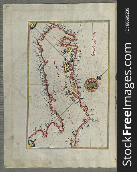
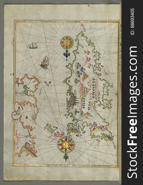
The Island of Samos, from Book on Navigation, Walters Art Museum Ms. W.658, fol.79b
Illuminated Manuscript Map of Sardina from Book of Navigation, Walters Art Museum, Ms. W.658, fol. 226b
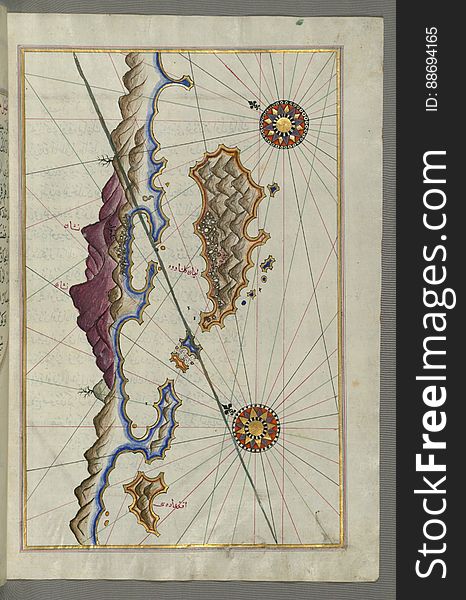
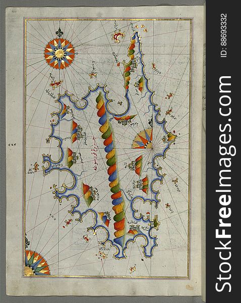
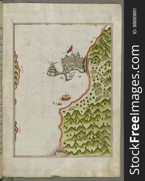
Illuminated Manuscript, Map of the Islands off the shores of Finike (Turkey) from Book on Navigation, Walters Art Museum
Picking tea
Illuminated manuscript Map of the Fortress of Ancona, from Book on navigation, Walters Art Museum ms. W.658, fol. 192a
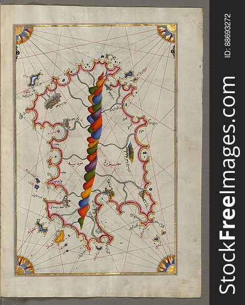
Detailed map of Chios (Sakiz, Ṣāqiz) Island with its fortress and other topographical features, from Book on Navigati
Illuminated manuscript Map of Corsica, from Book on Navigation, Walters Art Museum Ms. 658, fol. 229a
Illuminated Manuscript map of the northeastern tip of Rhodes (Rodos, Rūdūs) Island facing the Anatolian coast with the
Illuminated Manuscript Map of the coast of Andalusia with the city of Grenada (Gharnātah), from Book on Navigation, Wal
Illuminated Manuscript The Methana (Mutūn) fortress in the Saronikos (Aiyina) Bay, from Book on Navigation, W
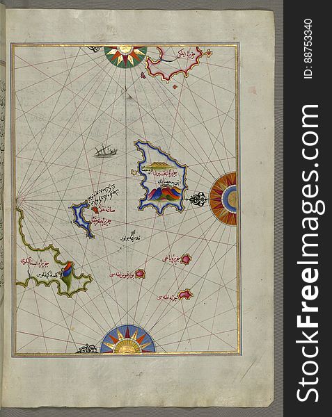
Illuminated Manuscript Nisyros (Inǧirlü) island south of Cos (Stancho, İstanköy) island in the eastern Aeg
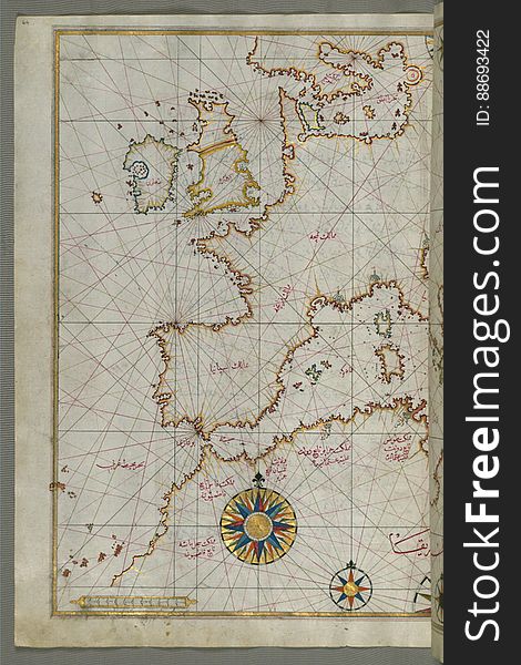
Map of western Europe and North Africa, from Book on Navigation, Walters Art Museum Ms. W.658, fol.64a
Illuminated Manuscript The stretch of water between the Peloponnese (Morea, Mora) peninsula and the Island of Crete wit
Next page
2
/ 4
Home
Search for Black sea turkey free images