Browse categories
Log in
Sign up
Art Free Stock Images
Related searches:
painting
artist
paint
artwork
abstract
Safe search
Include:
RF-LL
Public Domain
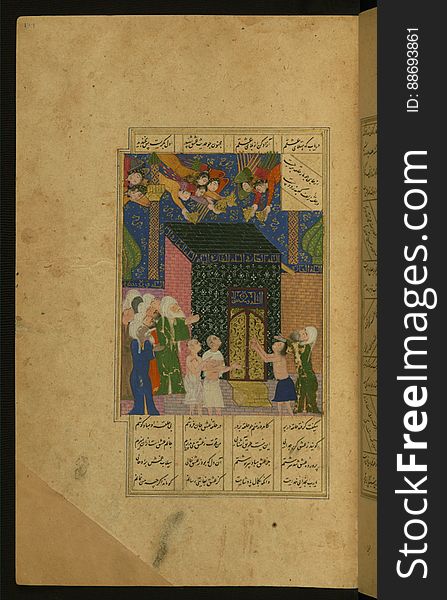
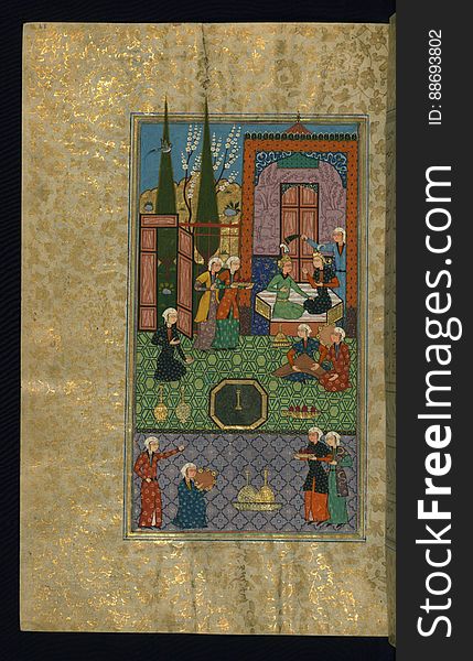
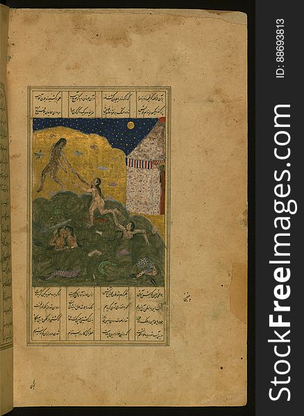
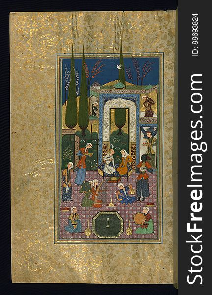
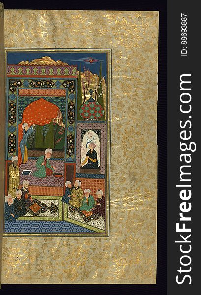
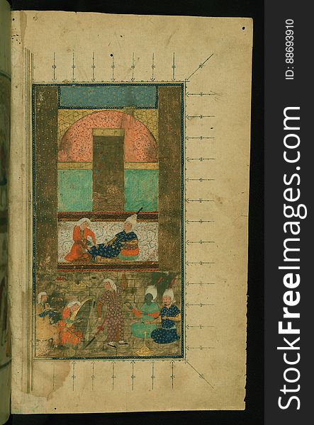
Illuminated Manuscript Khamsa, Walters Art Museum Ms. 609, fol. 364a
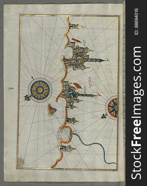
Illuminated Manuscript, Map of the fortress of Trieste (Rishtī) (Italy) from Book on Navigation, Walters Art
Illuminated Manuscript, Map of fortresses and towns south of Ancona, including Loreto from Book on Navigation, Walters Art Museum
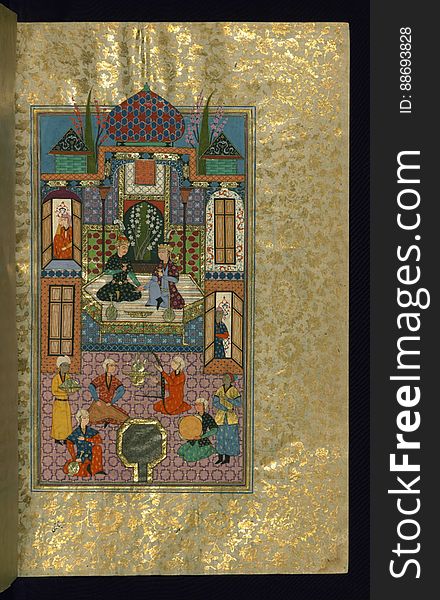
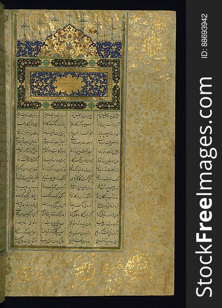
Five poems (quintet), Walters Art Museum Ms. W.607, fol. 2a
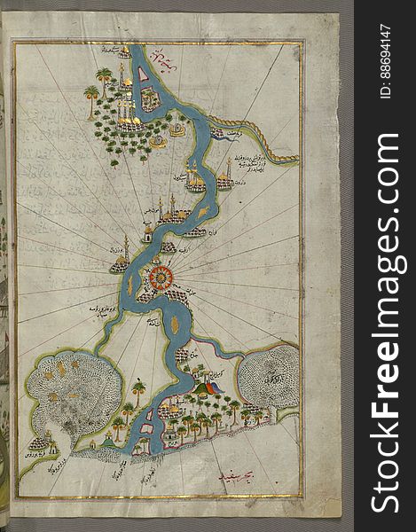
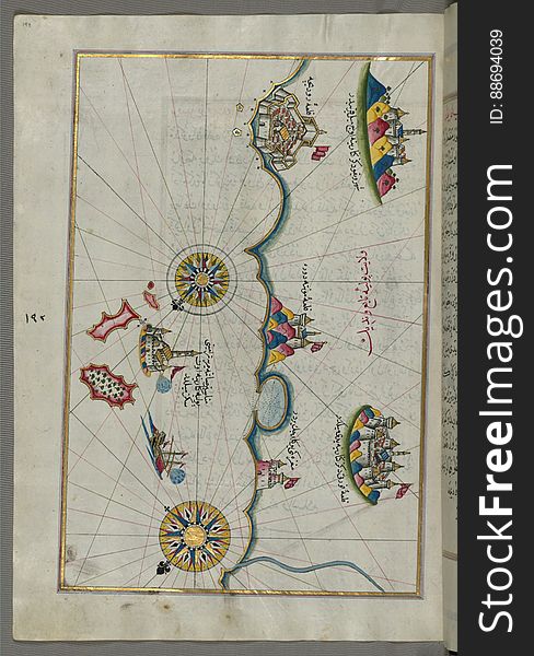
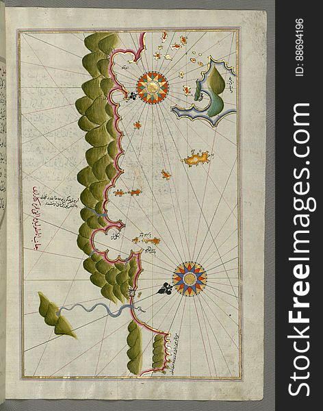
Illuminated Manuscript, Map of unmarked part of the Egyptian coastline from Book on Navigation, Walters Art Museum Ms. W.658, fol.
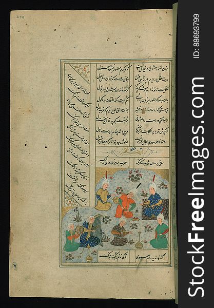
Five poems (quintet), Walters Art Museum Ms. W.607, fol. 261b
Illuminated Manuscript, Map of the Egyptian coast from Matrūḥ east towards Alexandria from Book on Navigation, Walters Art Muse
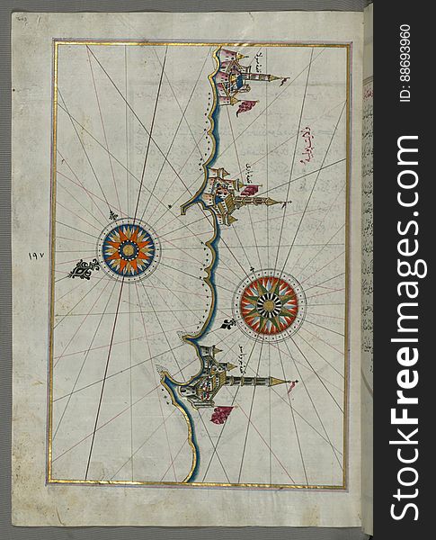
Illuminated Manuscript, Map of the river Nile from its estuary south from Book on Navigation, Walters Art Museum Ms. W.658, fol.30
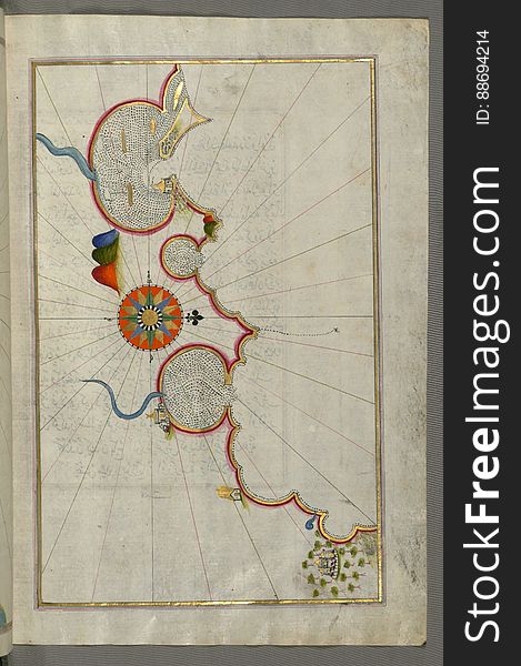
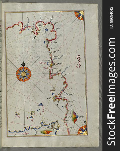
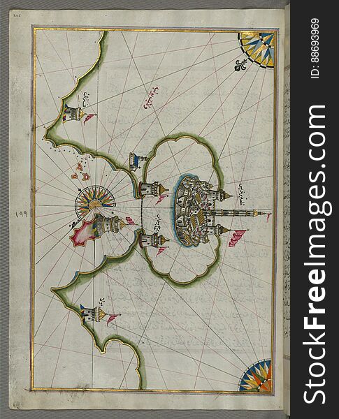
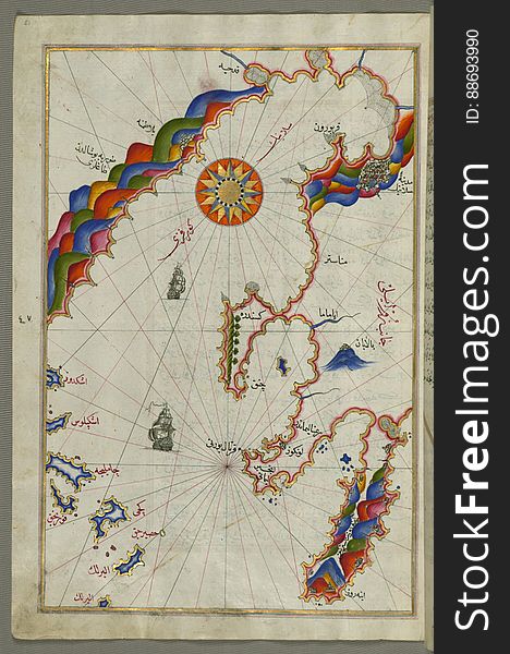
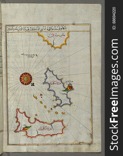
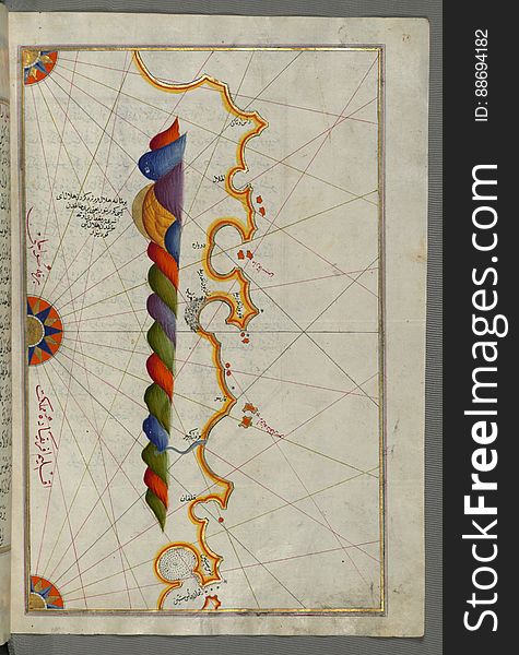
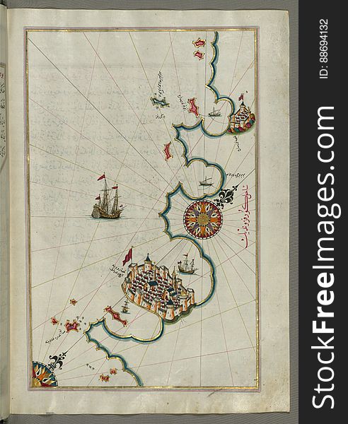
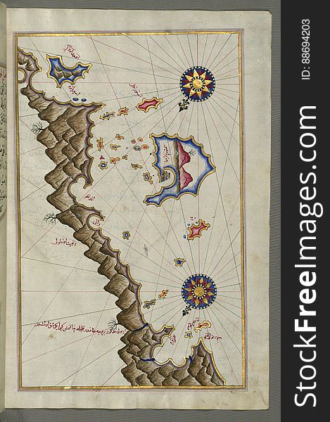
Illuminated Manuscript, Map of the Islands off the shores of Finike (Turkey) from Book on Navigation, Walters Art Museum
Illuminated Manuscript Khamsa, Walters Art Museum Ms. 609, fol. 137a
Illuminated Manuscript, Map of The Bay of Corinth from Book on Navigation, Walters Art Museum Ms. W.658, fol.137a
Illuminated Manuscript, Map of the Island of Cyprus (Qibrīz, Kıbrıs) from Book on Navigation, Walters Art Museum Ms.
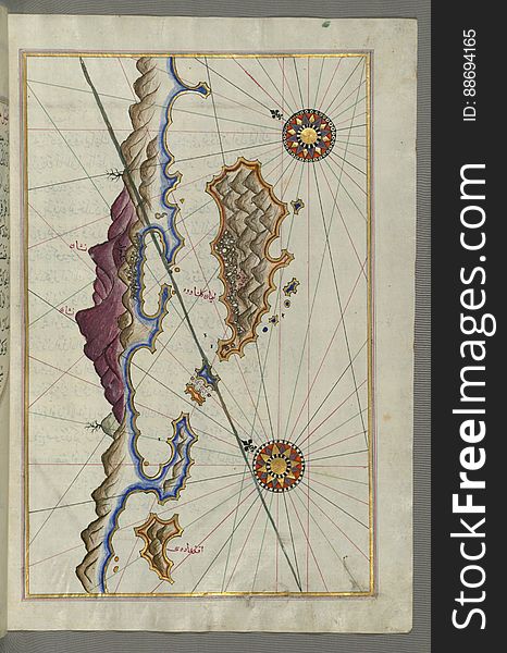
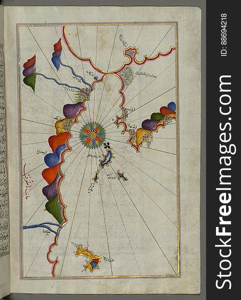
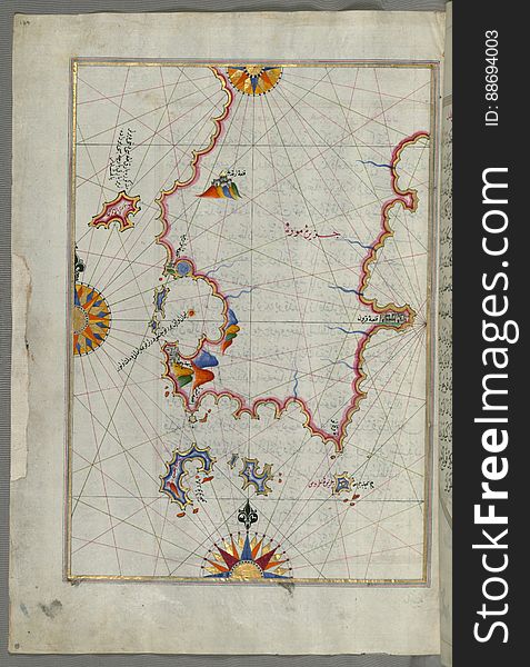
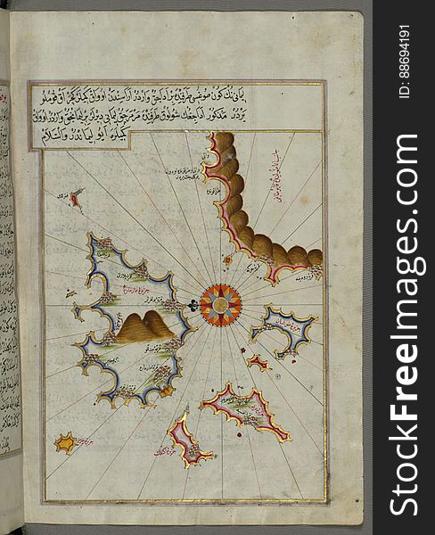
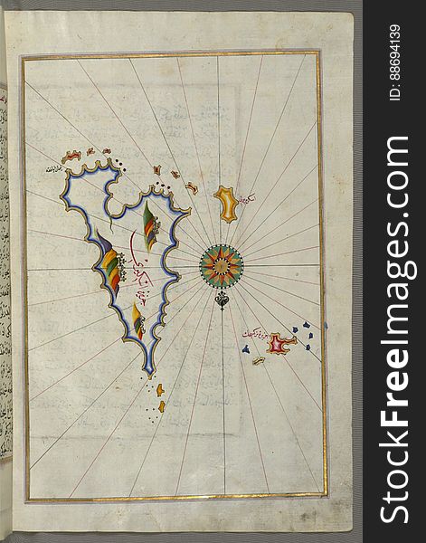
Illuminated Manuscript, Map of unidentified islands off the southern Anatolian coast from Book on Navigation, Walters Art Museum
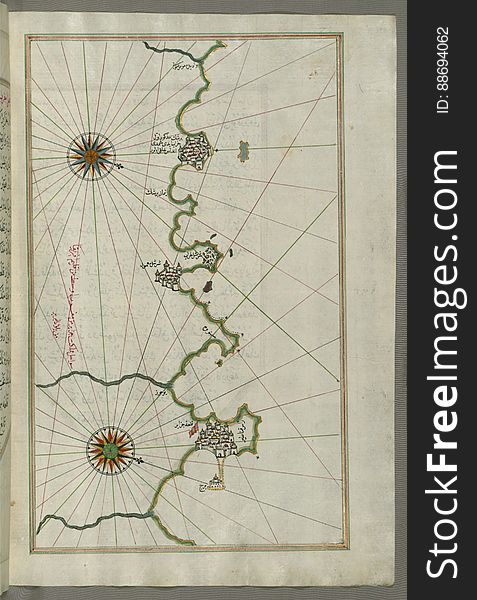
Illuminated Manuscript, Map of the Italian coast between Termoli and Peschici from Book on Navigation, Walters Art Museum Ms. W.65
Illuminated Manuscript, Map of the town of Bari and the surrounding area from Book on Navigation, Walters Art Museum Ms. W.658, fo
Illuminated Manuscript Collected works (Kulliyat), Walters Art Museum Ms. 617, fol. 270a
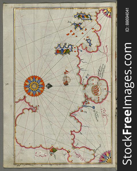
Illuminated Manuscript, Map from Book on Navigation, Walters Art Museum Ms. W.658, fol.367b
Illuminated Manuscript, Map of the straits of Messina and the western Italian coast from Book on Navigation, Walters Art Museum Ms
Five poems (quintet), Walters Art Museum Ms. W.607, fol. 68a
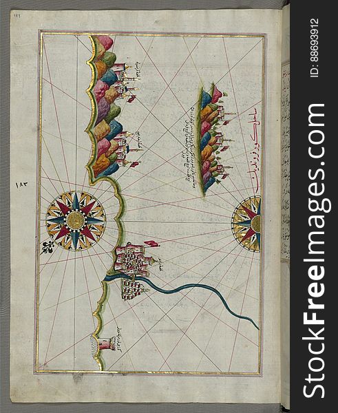
Illuminated Manuscript, Map of the Italian coastline south of Ancona including Tronto from Book on Navigation, Walters Art Museum
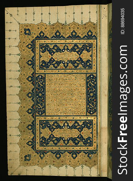
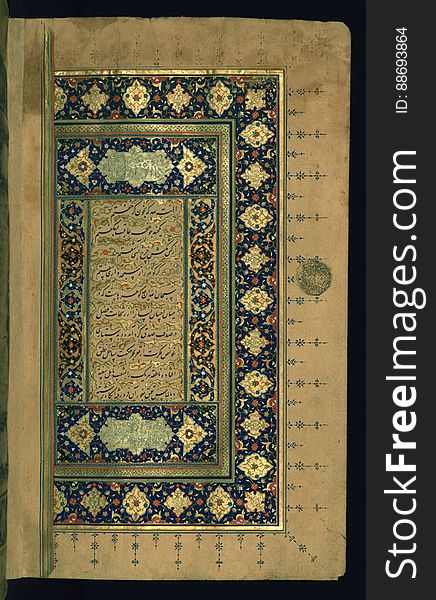
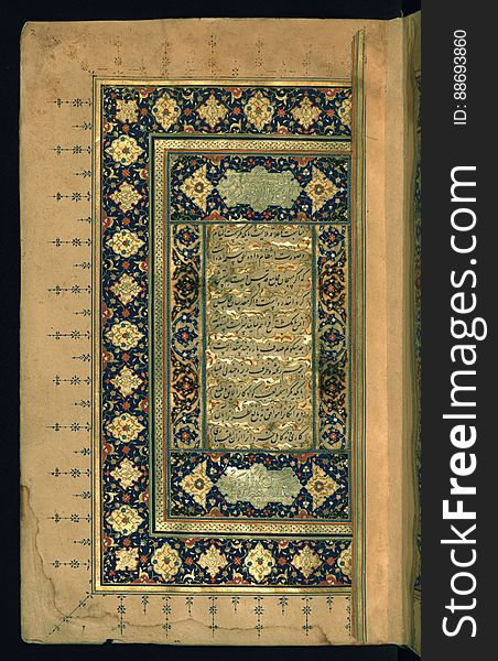
Illuminated Manuscript Collected works (Kulliyat), Walters Art Museum Ms. 617, fol. 4a
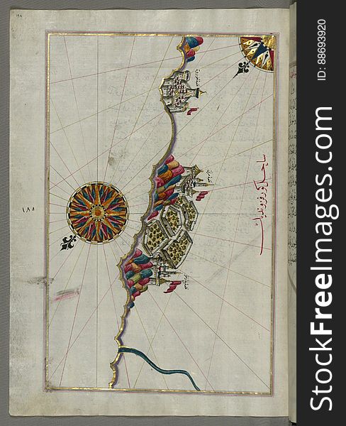
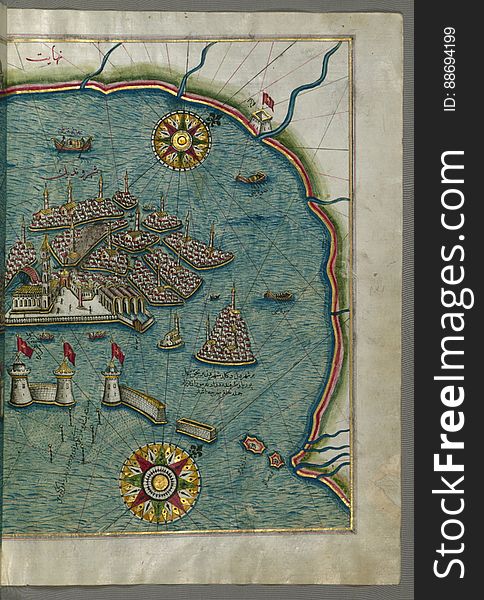
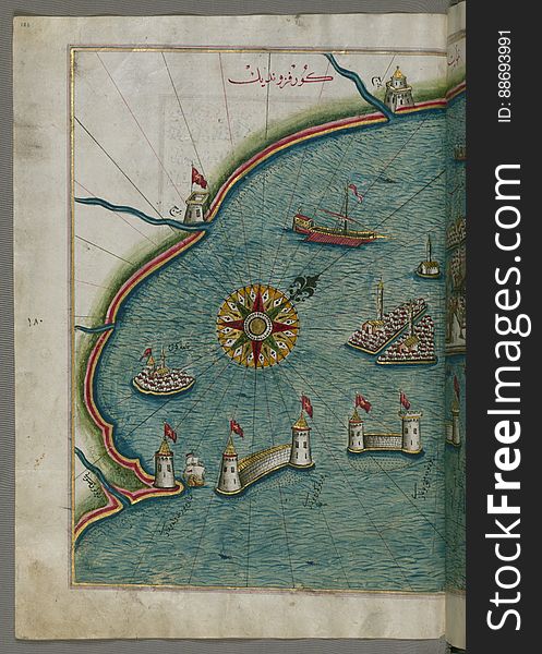
Illuminated Manuscript, Map of the port of Brindisi (Parindīs) from Book on Navigation, Walters Art Museum Ms. W.658, f
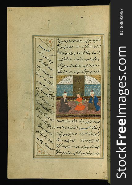
Illuminated Manuscript Collected works (Kulliyat), Walters Art Museum Ms. 617, fol. 74a
Illuminated Manuscript, Map of a fragment of the Island of Crete from Book on Navigation, Walters Art Museum Ms. W.658, fol.351b
Illuminated Manuscript, Poem (masnavi), Walters Art Museum Ms. W.642, fol. 1a
Illuminated Manuscript, Eastern part of the Peloponnese (Morea, Mora) peninsula from Book on Navigation, Walters Art Mu
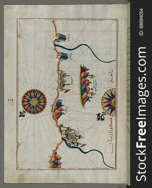
Illuminated Manuscript, The Bay of Salonica (SelÄnÄ«k, Thessaloniki), from Book on Navigation, Walters Art Museum Ms. W
Five poems (quintet), Walters Art Museum Ms. W.607, fol. 104b
Illuminated Manuscript Khamsa, Walters Art Museum Ms. 609, fol. 387b
Five poems (quintet), Walters Art Museum Ms. W.607, fol. 93a
Illuminated Manuscript, Map of the Italian coastline from Barletta to Trani from Book on Navigation, Walters Art Museum Ms. W.658
Five poems (quintet), Walters Art Museum Ms. W.607, fol. 119b
Illuminated Manuscript, Poem (masnavi), Walters Art Museum Ms. W.642, fol. 2a
Illuminated Manuscript, Map from Book on Navigation, Walters Art Museum Ms. W.658, fol.363b
Illuminated Manuscript, Map of the eastern part of the city of Venice (Venedīk) from Book on Navigation, Walters Art Mu
Five poems (quintet), Walters Art Museum Ms. W.607, fol. 268b
Illuminated Manuscript, Map of the Italian coastline from Rimini south towards Pesaro from Book on Navigation, Walters Art Museum
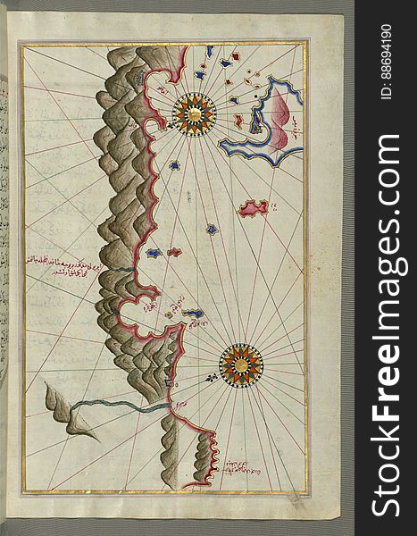
Illuminated Manuscript, Map of the Libyan coast towards to Egyptian border from Book on Navigation, Walters Art Museum Ms. W.658
Illuminated Manuscript Collected works (Kulliyat), Walters Art Museum Ms. 617, fol. 2b
Illuminated Manuscript, Map of the Algerian coast around Algiers (JazÄʾir) from Book on Navigation, Walters Art Museum
Illuminated Manuscript, Map of some unidentified islands off the southern Anatolian coast from Book on Navigation, Walters Art Mus
Illuminated Manuscript, Map of the western part of the city of Venice (Venedīk) from Book on Navigation, Walters Art Mu
Illuminated Manuscript, Map of the Italian coastline from Pesaro (PÄzarÅ«) south from Book on Navigation, Walters Art M
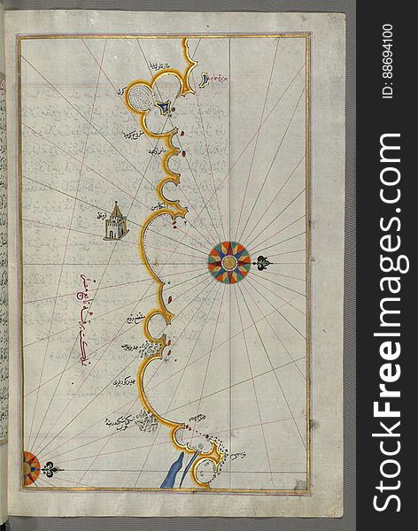
Illuminated Manuscript, Map of the island of Marmara in the sea of Marmara from Book on Navigation, Walters Art Museum Ms. W.658
Illuminated Manuscript, Map of the coastline from Rovinj north (Croatia) from Book on Navigation, Walters Art Museum Ms.
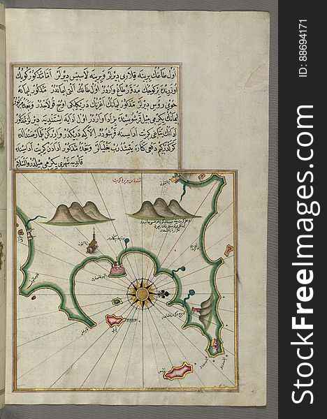
Illuminated Manuscript, Map of Skyros (Ä°skire) island from Book on Navigation, Walters Art Museum Ms. W.658, fol.362b
Illuminated Manuscript, Book on Navigation, Walters Art Museum Ms. W.658, Illuminated Manuscript of Three hundred and sixty Sufi q
Illuminated Manuscript, Map of some unidentified islands off the southern Anatolian coast from Book on Navigation, Walters Art Mu
Next page
4
/ 1,000
Home
Search for Art free images