Browse categories
Log in
Sign up
Anatolia Free Stock Images
Related searches:
turkey
Safe search
Include:
RF-LL
Public Domain
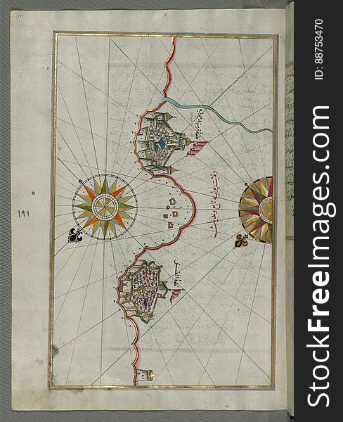
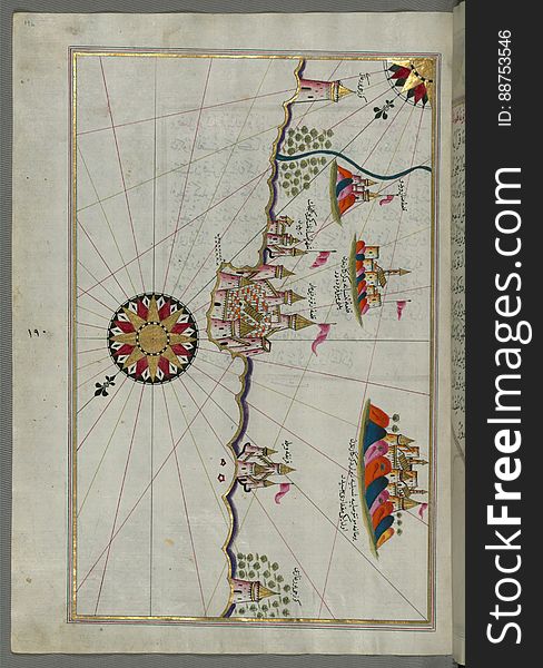
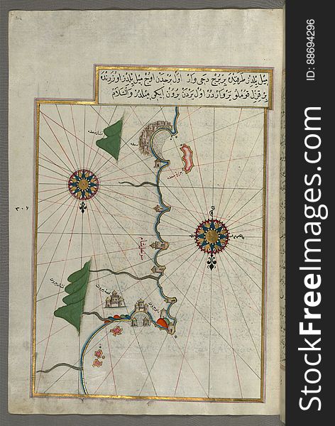
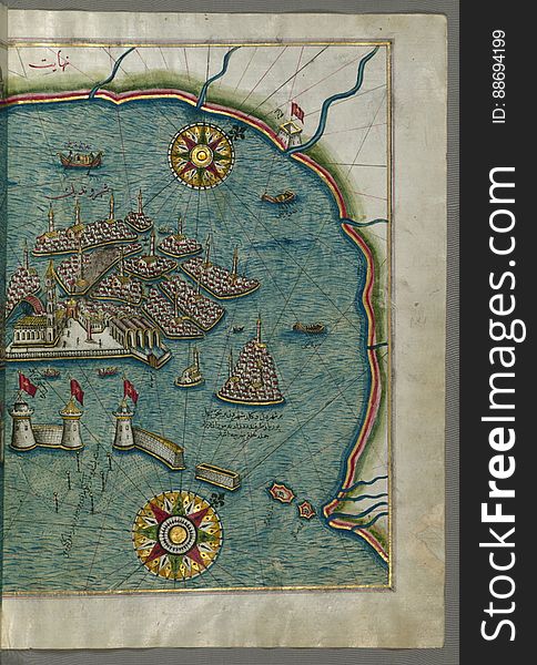
Illuminated Manuscript, Map of the Anatolian coast and the cities Adana (Antioch in Cilicia) and Tarsus (Turkey
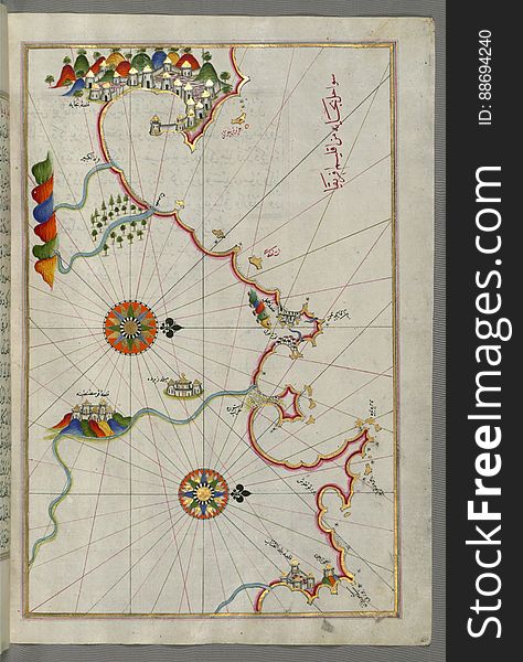
Illuminated Manuscript, Map of unmarked part of the Egyptian coastline from Book on Navigation, Walters Art Museum Ms. W.658, fol.
Illuminated Manuscript, Map of the Italian coast from Lecce (Laj) to Gallipoli (Kelibūlī) (towards the
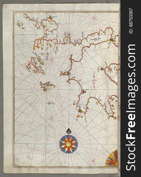
Illuminated Manuscript, Map from Book on Navigation, Walters Art Museum Ms. W.658, fol.363b
Illuminated Manuscript, Map of the Island of Mljet (Mīlede) off Dubrovnik (Croatia) from Book on Navigation
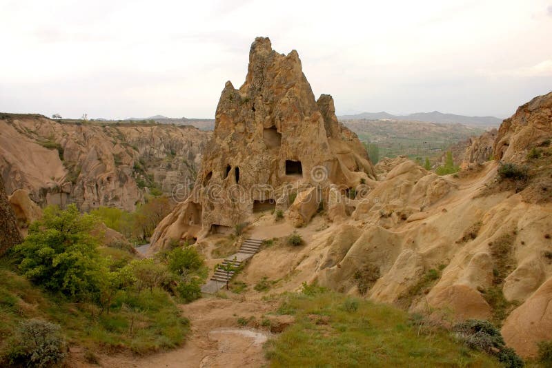
Hot air balloon flight at sunrise in Cappadocia Turkey
Illuminated Manuscript Adriatic coast from Budva to Dubrovnik (Dūbre Venedīk), from Book on Navigation, Walters Art M
Illuminated Manuscript from Book on Navigation, Walters Art Museum Ms. W.658, fol.68a
Illuminated Manuscript, Map of the Adriatic coastline from Dubrovnik north from Book on Navigation, Walters Art Museum Ms.W.658, f
Illuminated Manuscript, Map of part of the coastline of the Sea of Marmara, with the town of Kavak (Qavāq) from Book on
Illuminated Manuscript The Islands of Zakynthos (Zākīse), Kefalonia (Kefallinia, Kafālūnye) and Lefkada &
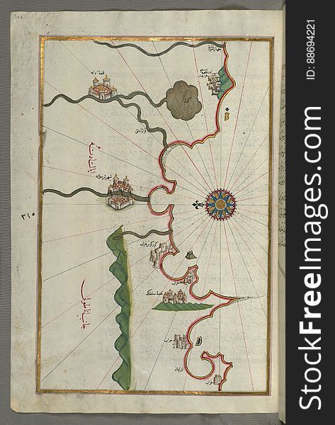
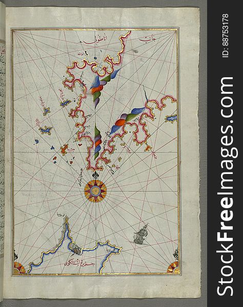
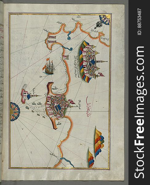
The Anatolian coast facing the island of Cos (Stancho, İstanköy) from Book on Navigation, Walters Art Museum Ms. W.658
Illuminated Manuscript Argolikos (Anaboli) Bay, from Book on Navigation, Walters Art Museum Ms. W.658, fol.122b
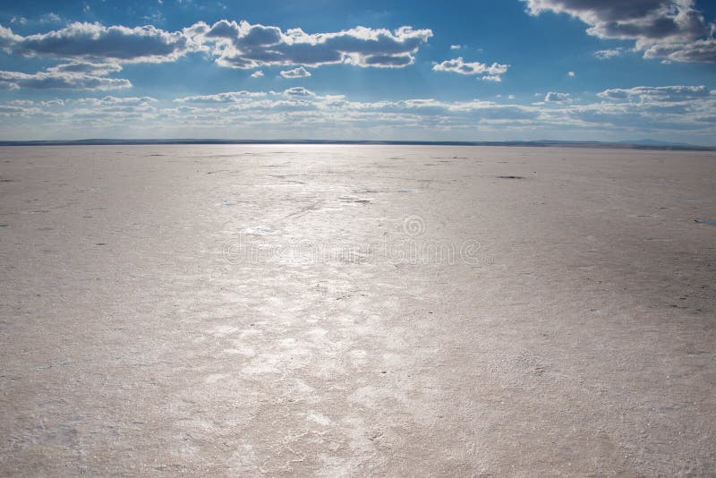
Salt lake in Turkey
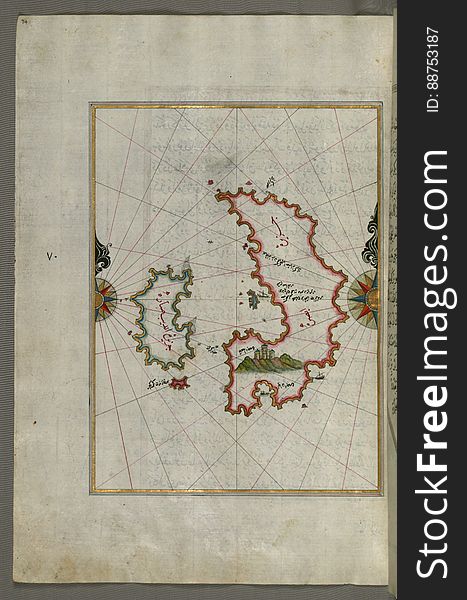
The island of Psara west of Chios, from Book on Navigation, Walters Art Museum Ms. W.658, fol.74a
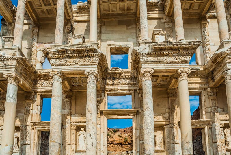
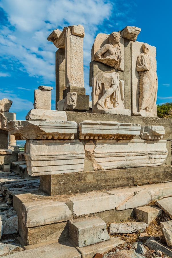
Ephesus ruins Turkey
Illuminated Manuscript, Map of two unnamed islands between Dubrovnik and Split (Croatia) from Book on Navigation, Walter
Illuminated Manuscript, Map of the coastline form Rovinj as far as the fortress of Poreč (Parenzo, Brānse) (Croat
Illuminated Manuscript, Map of the towns Vasto and Termoli on the Italian coast from Book on Navigation, Walters Art Museum Ms. W.
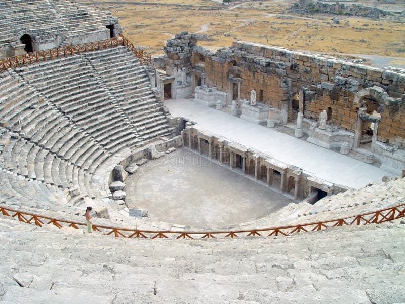
Antique theatre.
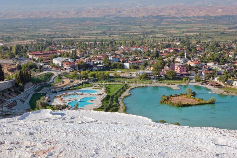
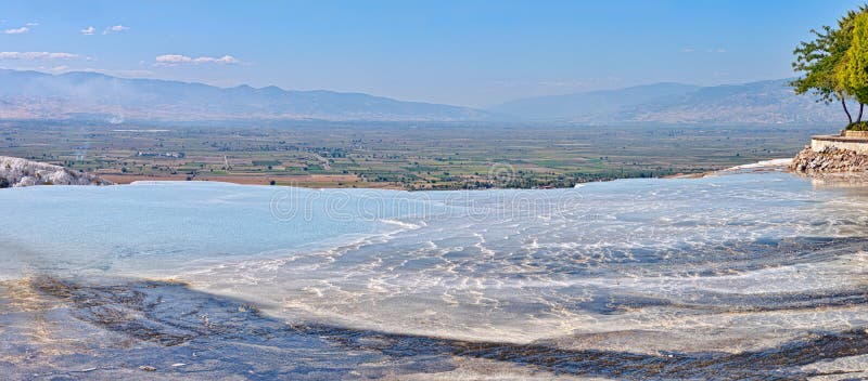
Pamukkale
Illuminated Manuscript, Map of the western Italian coast from Pisa to the French border, including the towns of Genoa (Jinūz
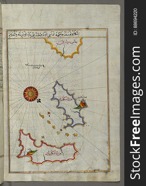
Illuminated Manuscript Nisyros (Inǧirlü) island south of Cos (Stancho, İstanköy) island in the eastern Aeg
The island of Patmos (Bāṭnūz) south-east of Ikaria (Ahikere) in the eastern Aegean Sea from Book on Naviga
Illuminated Manuscript, Map of the Italian coast around around Peschici north of Mafredonia from Book on Navigation, Walters Art M
Illuminated Manuscript, Map of the coastline and the islands between Šibenik and Zadar (Zādare) (Croatia) fr
Ancient ruins
Illuminated Manuscript, Map of the town of Lanciano (Lansāne) and the surrounding fortresses from Book on Navigation, W
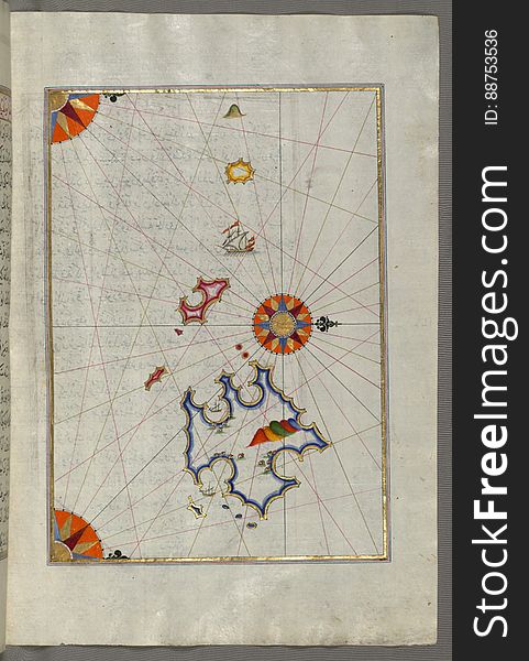
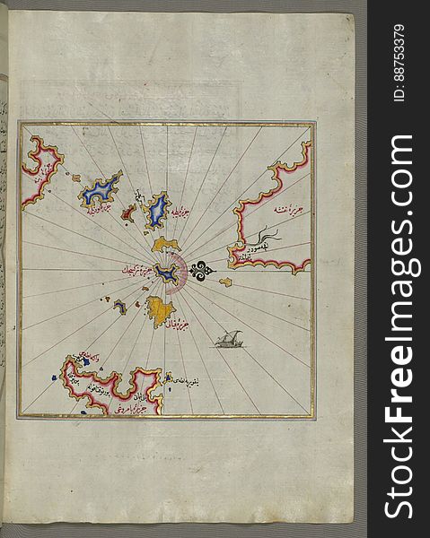
Illuminated Manuscript Small islands in the region of Naxos (Naḳşe) and Amorgos (Yamurgi) in the southeast
Roman bath in Perga
Illuminated Manuscript, Map of the coastline from Pula to Rovinj (Rūvinye) (Croatia) from Book on Navigation
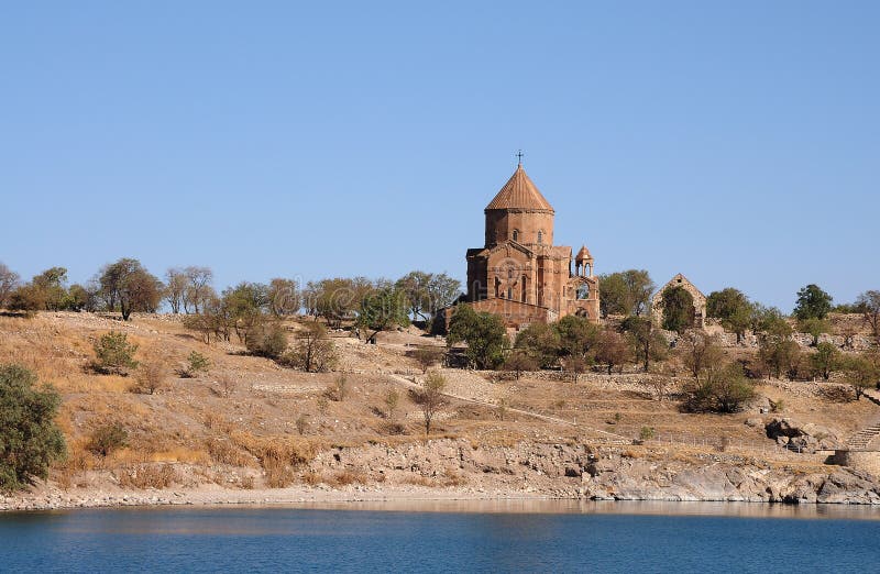
Achdamar
Illuminated Manuscript The Peloponnese (Morea, Mora) peninsula with the island of Kythira (Cerigo, Ҫoke) and
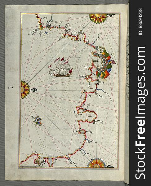
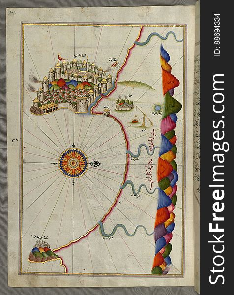
Map of the eastern Mediterranean, Aegean and the Black Sea, from Book on Navigation, Walters Art Museum Ms. W.658, fol.63b
Illuminated Manuscript, Map of the coast from Medulin as far as Pula (Croatia) from Book on Navigation, Walters Art Muse
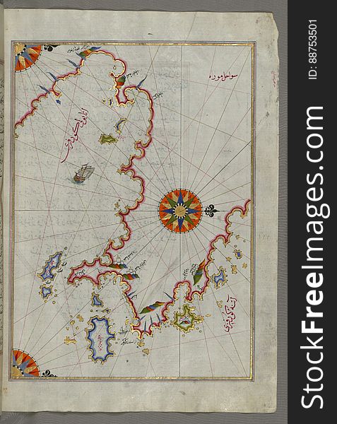
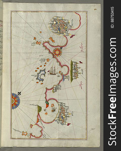
Illuminated Manuscript, Upper Aegean Sea with the islands of Imbros (Imroz, Gökçeada) and Bozca (Tenedos), f
Pamukkale
Warrior woman - Amazons
Illuminated Manuscript, Map of the eastern Mediterranean coast as far as the city of Beirut (Lebanon) from Book on Navig
Ephesus ruins Turkey
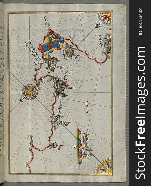
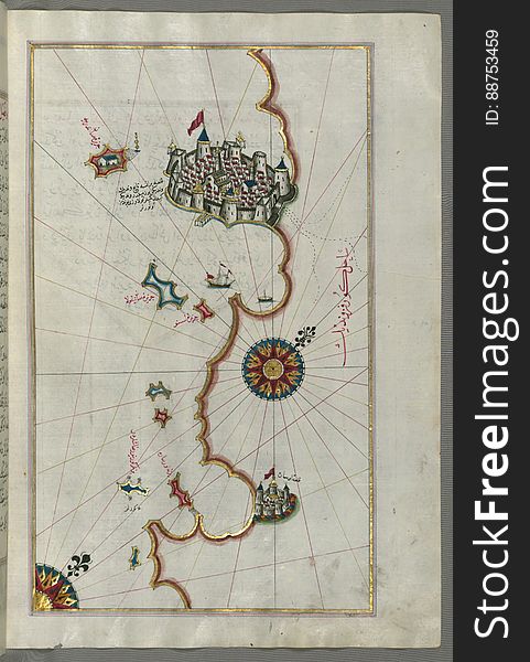
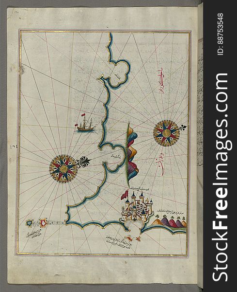
Illuminated Manuscript, Map of the fortress of Alanya (ʿAlāʾiye, Alaiye) (Turkey) from Book on Navigation
Illuminated Manuscript The Cyclades (Kikladhes) islands between the Peloponnese (Morea, Mora) peninsula and Cr
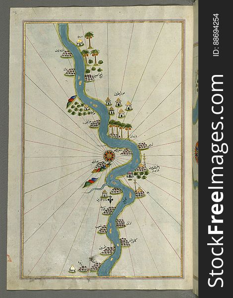
Illuminated Manuscript, Map of the river Nile with various oases on each side from Book on Navigation, Walters Art Museum Ms. W.65
Illuminated Manuscript, Map of the Algerian coast from the port of Bejaia (Bajāyah) as far as Annaba (Balad al-ʿU
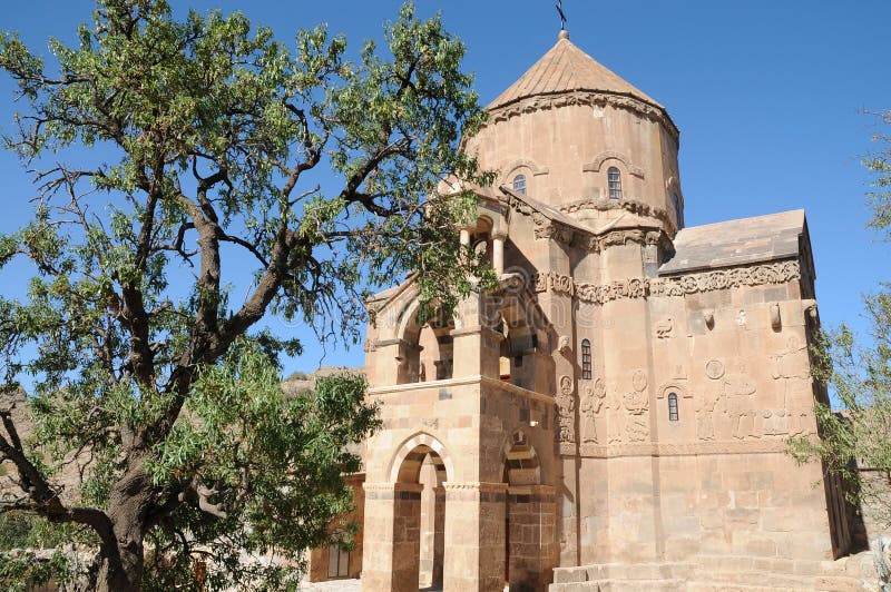
Armenian church of Akdamar in eastern turkey
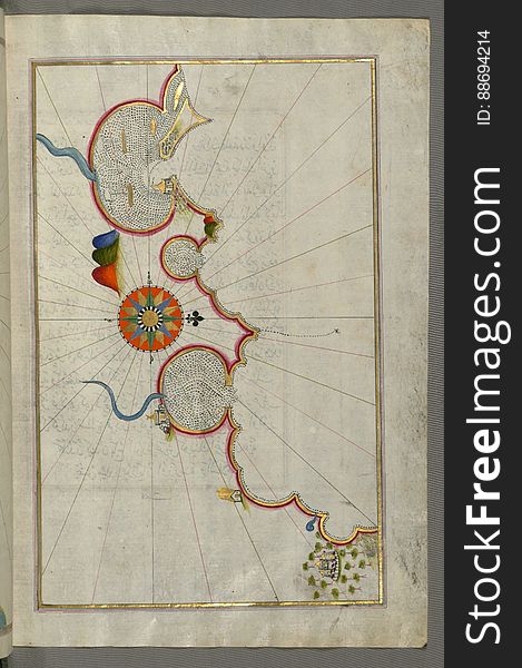
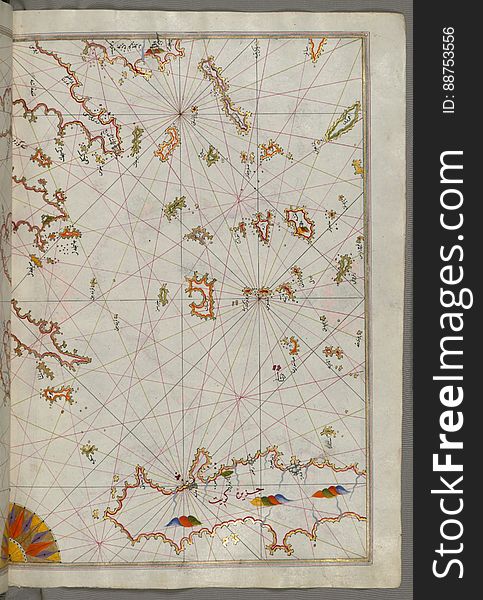
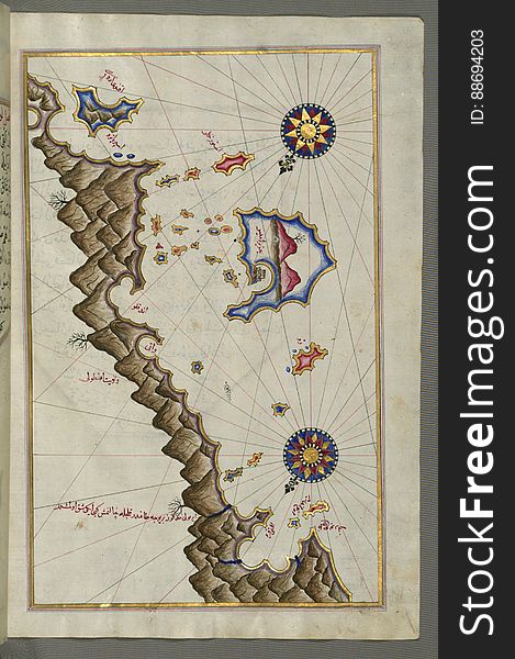
Illuminated Manuscript, Map of some unidentified islands off the southern Anatolian coast from Book on Navigation, Walters Art Mu
Illuminated Manuscript, Map of the coast north of the Medulin fortress (Croatia) from Book on Navigation, Walters Art Mu
Illuminated Manuscript, Map of the eastern coast of Calabria with the towns of Crotone and Catanzaro from Book on Navigation, Walt
Illuminated Manuscript, Map of the Italian coast from Trani as far as Molfetta from Book on Navigation, Walters Art Museum Ms. W.6
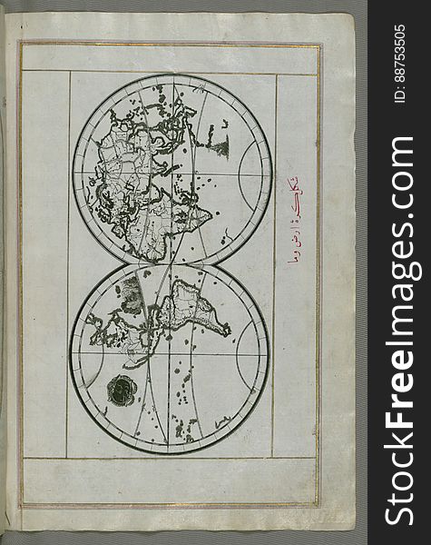
Illuminated Manuscript, World map in a double hemisphere, from Book on Navigation, Walters Art Museum Ms. W.658, fol. 40b
Illuminated Manuscript, Map from Book on Navigation, Walters Art Museum Ms. W.658, fol.367b
Illuminated Manuscript, Map of Sea of Marmara, Bosporus strait and the Black Sea from Book on Navigation, Walters Art Museum Ms. W
Illuminated Manuscript, Map of the island of Krk (Veglia, Vake Venedīk) (Croatia) from Book on Navigation, Wa
Illuminated Manuscript, Map of the eastern part of the city of Venice (Venedīk) from Book on Navigation, Walters Art Mu
Ancient ruins
Illuminated Manuscript, Map of the Island of Malta (Māltah) from Book on Navigation, Walters Art Museum Ms. W.658, fol
Illuminated Manuscript, Western part of the Peloponnese (Morea, Mora) peninsula opposite the Zakynthos (Zante, Zāk
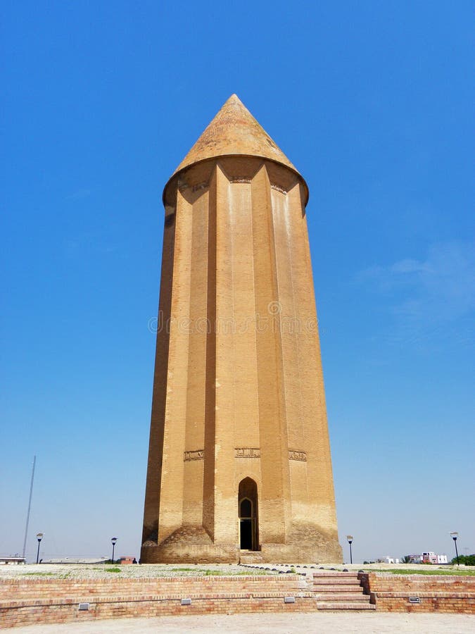
Gonbad-e Qabus or Kavoos Tower
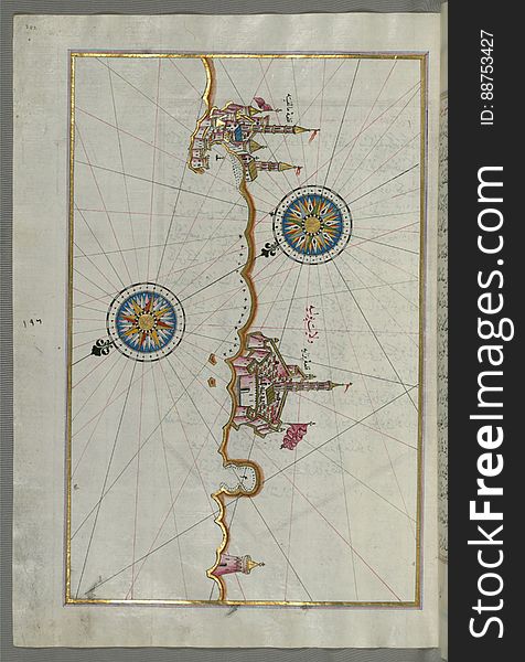
The Anatolian Coast facing Samos, from Book on Navigation, Walters Art Museum Ms. W.658, fol.75b
Illuminated Manuscript Two small islands between Amorgos (Yamurgi) and Cos (Stancho, İstanköy) in the easter
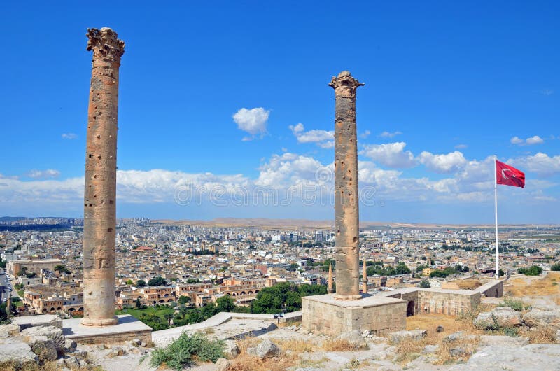
Sanliurfa Castle
Illuminated Manuscript The island of Naxos (Naḳşe) in the southeastern Aegean Sea, from Book on Navigation, Walters
Illuminated Manuscript, Map of the northern coast of Sicily (here called the island of Messina, Mesīne) from Milazzo &#
Next page
5
/ 19
Home
Search for Anatolia free images