Browse categories
Log in
Sign up
Africa Countries Map Free Stock Images
Safe search
Include:
RF-LL
Public Domain
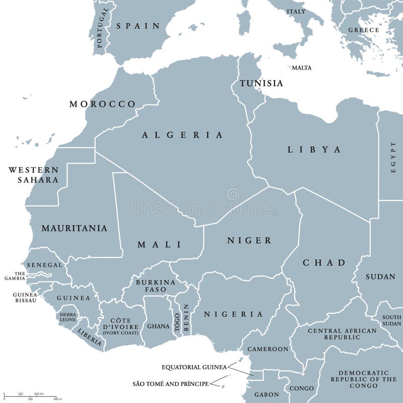
West Africa countries political map
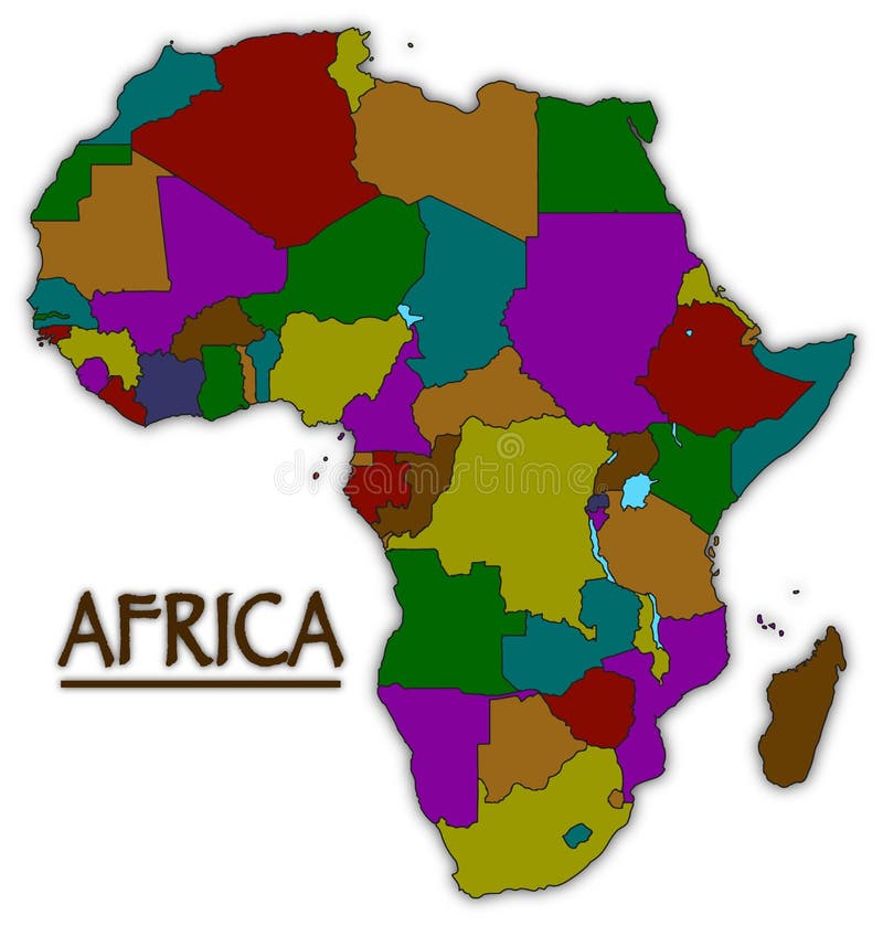
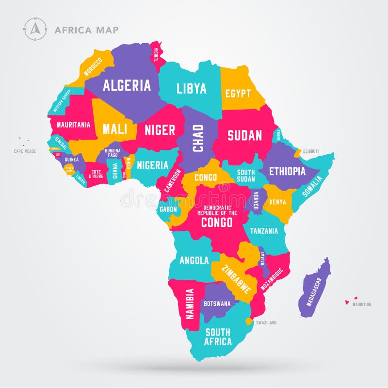
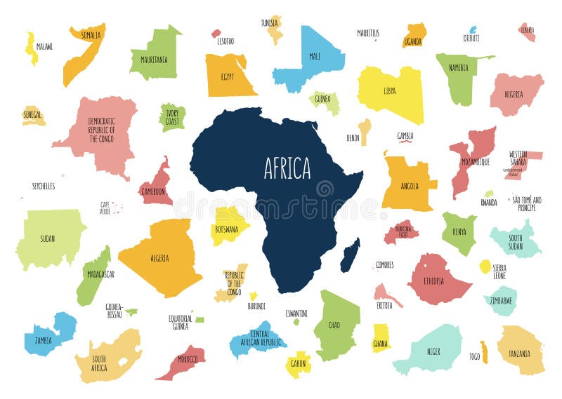
Africa Colourful Countries Map
Vector Illustration Africa Regions Map With Single African Countries.
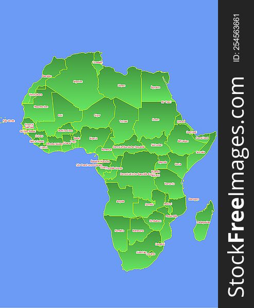
Africa map with yellow outline and green surface surrounded by blue ocean labeled with countries in German
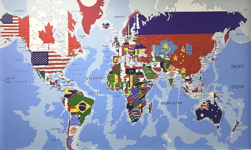
Countries Flags World Map Globe Asia Africa North America South America Antarctica Europ Australia Continents Ocean Geography
Modern Map - Africa continent with countries political colored
Map of Africa. Countries in Africa
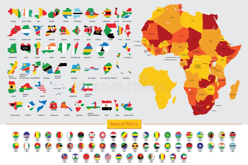
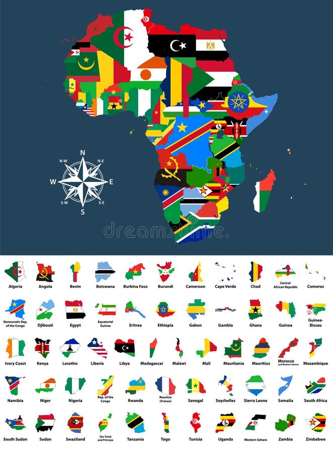
Map of Africa, Flags of African countries
Vector map of Africa mixed with countries flags. Collection of all African maps combined with flags isolated on white background
vector map of Africa continent colored by regions. All flags of African countries arranged in alphabetical order
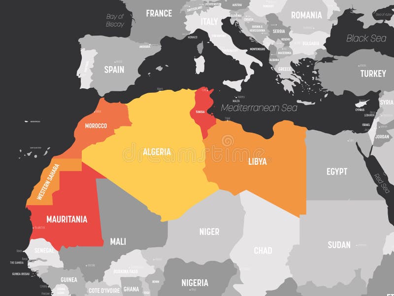
Map of Maghreb countries - Northwest Africa states. Vector illustration
Vector political map of Africa with all country flags
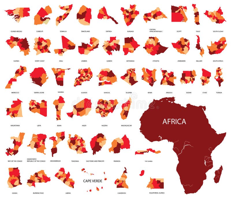
Map of Africa with separated countries
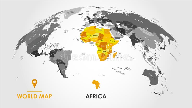
Detailed global world map, with borders and names of countries, seas and oceans, Continent of Africa in colors, vector
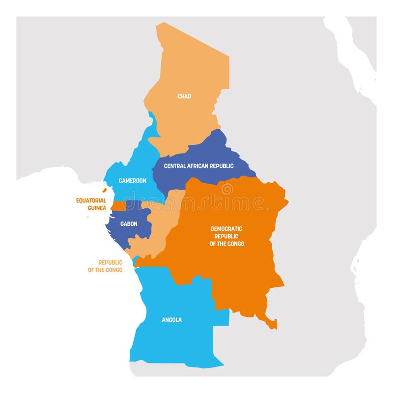
Central Africa Region. Map of countries in central Africa. Vector illustration
Vector illustrated blank map of South Africa with provinces and administrative divisions, and neighbouring countries
Next page
1
/ 12
Home
Search for Africa countries map free images