Ohrid Blue 4
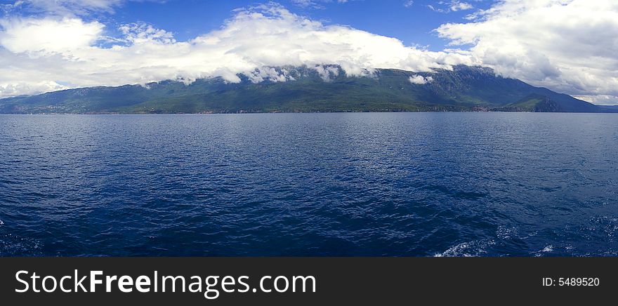
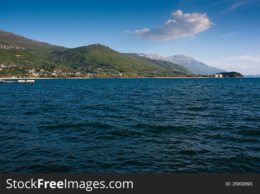
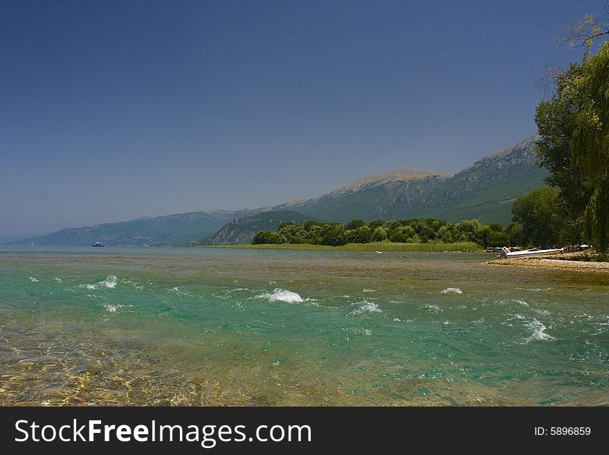
The lake drains an area of around 2600 km² and is fed primarily by underground springs on the eastern shore (about 50% of total inflow), with roughly 25% shares from rivers and direct precipitation. Over 20% of the lake's water comes from nearby Lake Prespa, about 10 km (6 miles) to the southeast and at 150 m higher altitude than Lake Ohrid. The water leaves Lake Prespa trickling through underground watercourses in the karstic landscape, where it is joined by mountain range precipitation and eventually emerges in numerous springs along the eastern shore and below the water surface of Lake Ohrid. The water leaves Lake Ohrid by evaporation (~40%) and through its only outlet, the Black Drin River, which flows in a northerly direction into Albania and thus to the Adriatic Sea. The relatively dry, Mediterranean climate and the small drainage basin of 2600 km² (catchment/lake surface ratio of ~7) of Lake Ohrid results in a long hydraulic residence time scale of ~70 yr.

© Krsmanovic | Stock Free Images
Similar Free Images


Categories: