Browse categories
Log in
Sign up
Lebanon Free Stock Images
Related searches:
south africa
olive trees
madagascar
lebanese
india
Safe search
Include:
RF-LL
Public Domain
Illuminated Manuscript, Map of the Algerian coast around Algiers (JazÄʾir) from Book on Navigation, Walters Art Museum
Illuminated Manuscript The island of Syros (Sire) in the Aegean Sea, from Book on Navigation, Walters Art Museum Ms. W.6
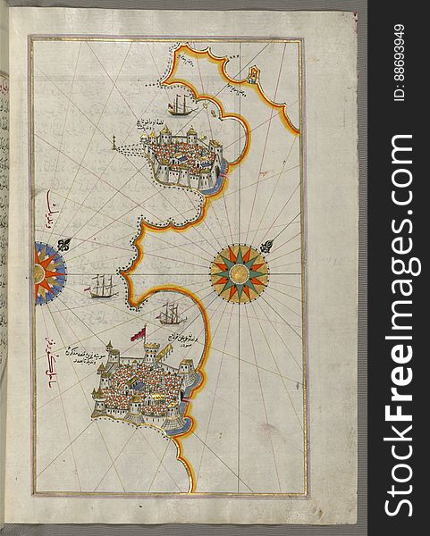
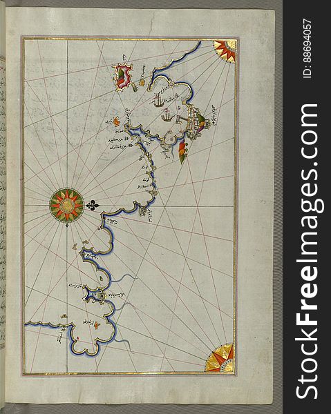
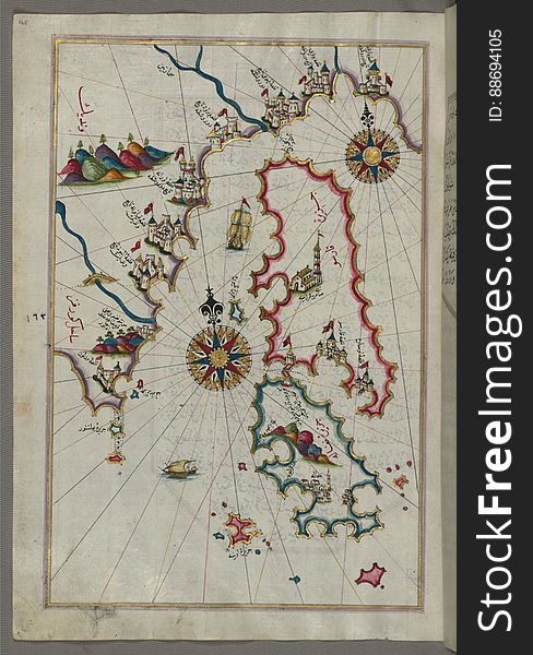
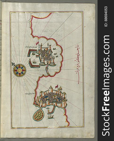
Illuminated Manuscript, Map of the Island of Cyprus (Qibrīz, Kıbrıs) from Book on Navigation, Walters Art Museum Ms.
Illuminated Manuscript, Map of the coastline from Muggia (Milje, Mūye) to Trieste (Rishtī) (Italy)
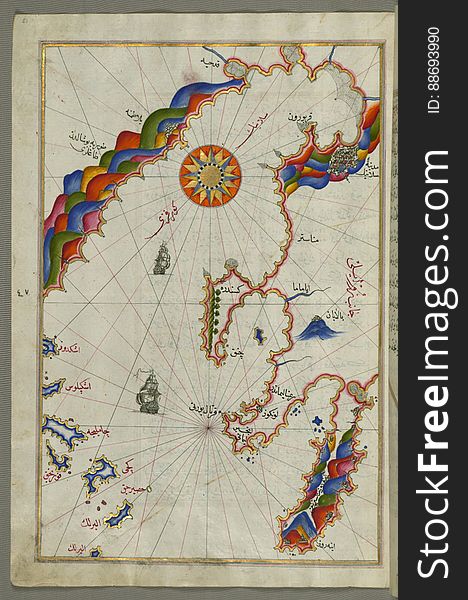
Illuminated Manuscript, The islands of Kefalonia (Kefallinia, KafÄlÅ«nye), Ithaca (Ithaki, SeyÄkÄ«) and Aya
Illuminated Manuscript, Map of the Algerian coast from Algiers (JazÄʾir) to Bejaia (BajÄyah) from Book on N
Illuminated Manuscript, Map of the Anatolian coast from Alanya (Ê¿AlÄʾiye Alaiye) to Andalye (Antalya, formerly k
Illuminated Manuscript, Map of the coastline from Rovinj north (Croatia) from Book on Navigation, Walters Art Museum Ms.
Illuminated Manuscript, Eastern part of the Peloponnese (Morea, Mora) peninsula from Book on Navigation, Walters Art Mu
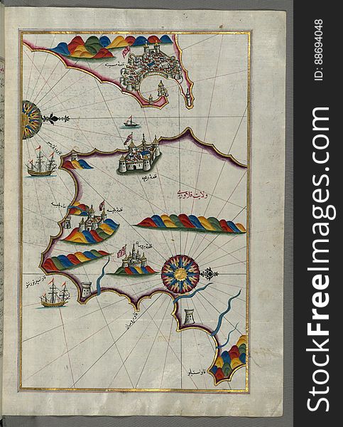
Illuminated Manuscript, Map of the Tunisian coast with the ports of Bizerte (Binzert) and Tunis (Ṭūnūs) as
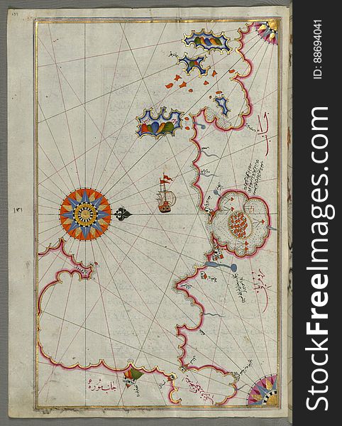
Illuminated Manuscript The stretch of water between the Peloponnese (Morea, Mora) peninsula and the Island of Crete wit
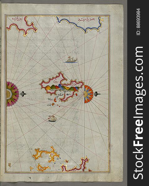
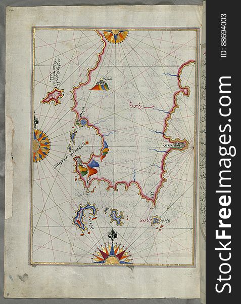
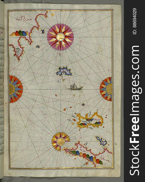
Illuminated Manuscript Island of Ikaria (Ahikere) in the eastern Aegean sea west of Samos (ṢūṣÄm), from
Illuminated Manuscript Argolikos (Anaboli) Bay and Peloponnese (Morea, Mora) peninsula , from Book on Navigat
Illuminated Manuscript, Map of the Italian coast between Termoli and Peschici from Book on Navigation, Walters Art Museum Ms. W.65
Illuminated Manuscript, Map of the city of Ferrara with the six rivers flowing into the Gulf of Venice from Book on Navigation, Wa
Illuminated Manuscript, Map of the coastline from Novi Grad as far as Umag (Umago, ŪmÄghÅ«) (Croatia) from B
Illuminated Manuscript, Map of the western Italian coast as far as the city of Pisa (PÄ«ze) from Book on Navigation, Wal
Illuminated Manuscript, Map of the Italian coastline with the cities of Ravenna (Ruvenne) and Cesena (Sazīne)
Illuminated Manuscript Mykonos island in the Aegean Sea, from Book on Navigation, Walters Art Museum Ms. W.658, fol.116a
Illuminated Manuscript, The area between Corfu (Kerkira, Kūrfūz) and Paxi (Paxoi) islands from Book on Navi
Illuminated Manuscript, Map of the coast of Andalusia from Valencia (Valense) to Cartagena (Qarte Cine) from B
Illuminated Manuscript Messiniakos Bay (Bay of Messini), fr, om Book on Navigation, Walters Art Museum Ms. W.658, fol.12
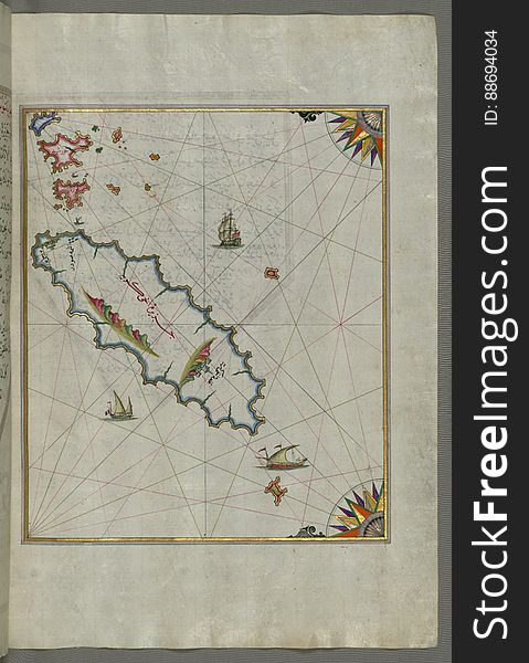
Illuminated Manuscript Tinos (Ä°stendil) island in the Aegean Sea, from Book on Navigation, Walters Art Museum Ms. W.65
Illuminated Manuscript, Map of Premuda (Premūde Venedīk) island west off the Pag Island (Croatia) from Book
Illuminated Manuscript, Map of the Italian coastline from Pesaro (PÄzarÅ«) south from Book on Navigation, Walters Art M
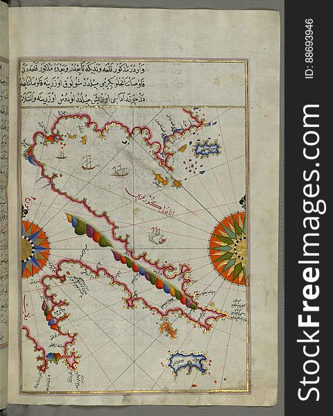
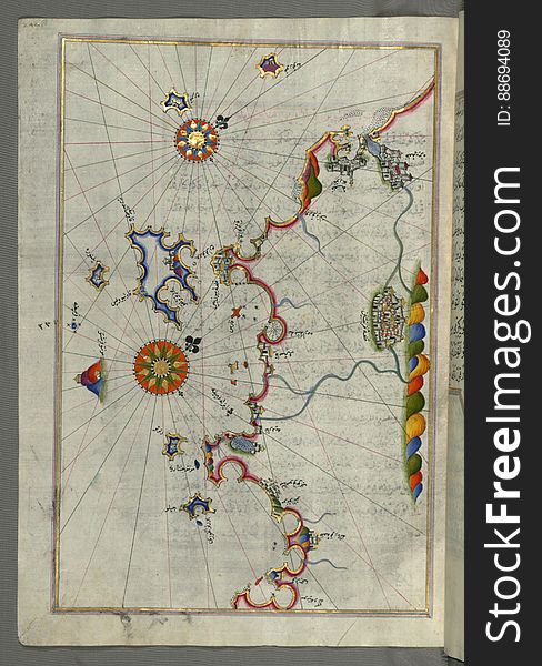
Illuminated Manuscript, The western coast of Greece from the island of Levcas (Lefkada, Leucas, Santa Maura) going north
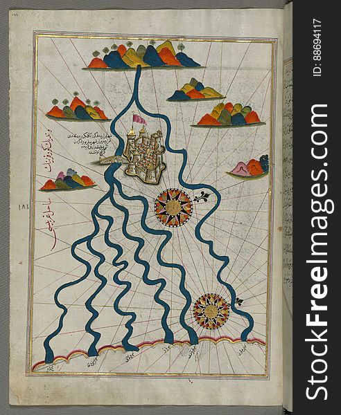
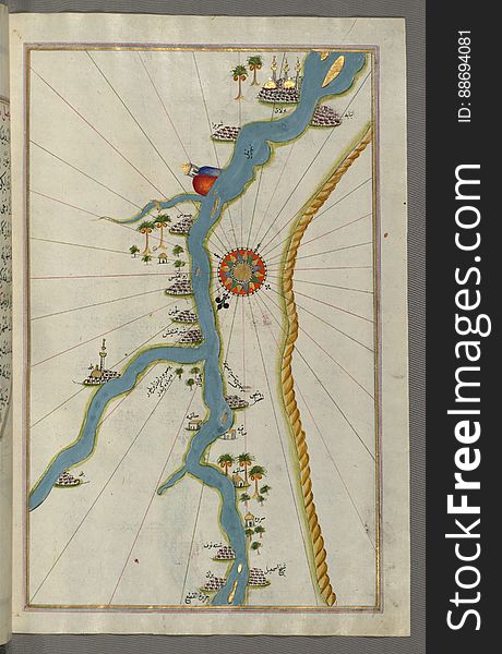
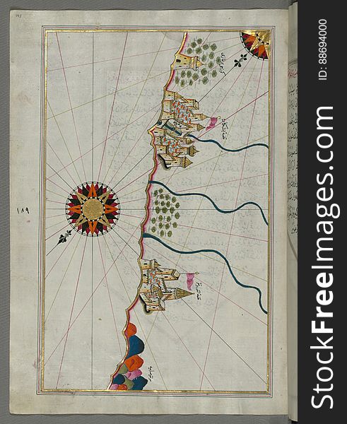
Illuminated Manuscript, Map of towns and oasis along the river Nile beginning with BÅ«lÄq (south of Cairo) from Book on
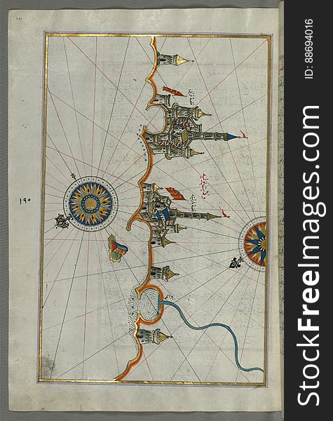
Illuminated Manuscript, Map of the fortress of Trieste (Rishtī) (Italy) from Book on Navigation, Walters Art
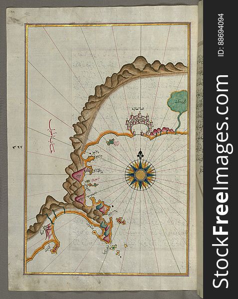
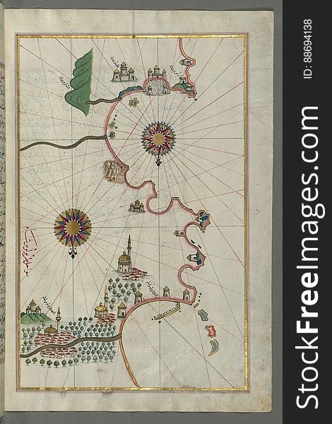
Illuminated Manuscript, The Bay of Salonica (SelÄnÄ«k, Thessaloniki), from Book on Navigation, Walters Art Museum Ms. W
Illuminated Manuscript, Map of the western part of the city of Venice (Venedīk) from Book on Navigation, Walters Art Mu
Illuminated Manuscript, Map of the coastline from Mafredonia as far as Barletta on the Italian coast from Book on Navigation, Walt
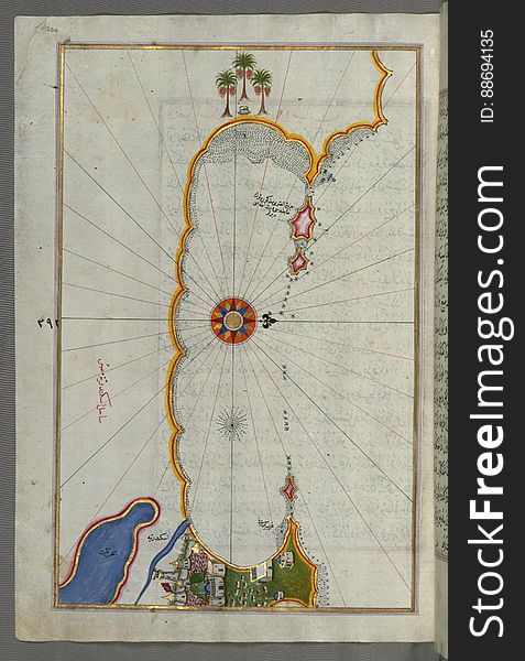
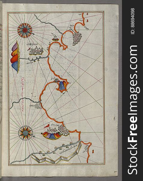
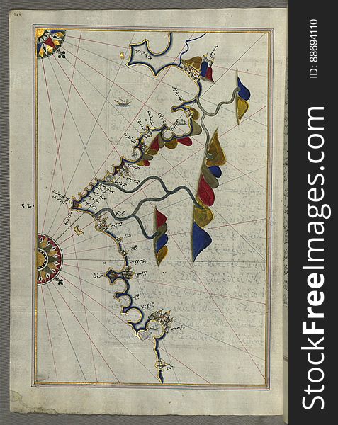
Illuminated Manuscript, Map of the coast of Alexandria (Iskandarīyah) showing a portion of the town itself from Book on
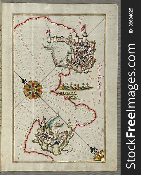
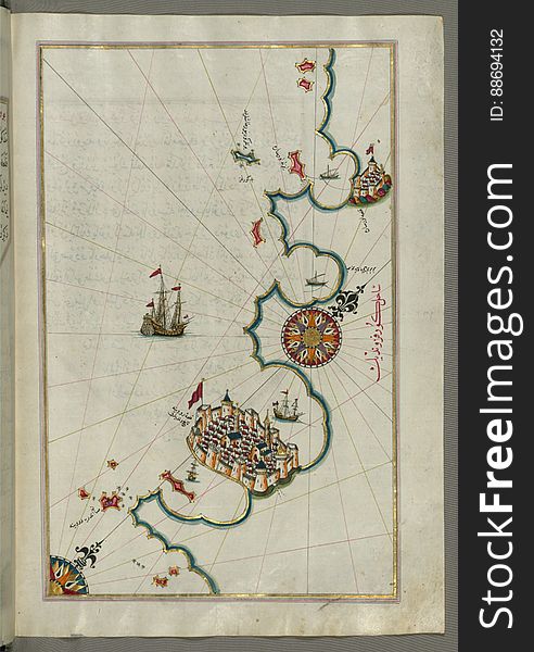
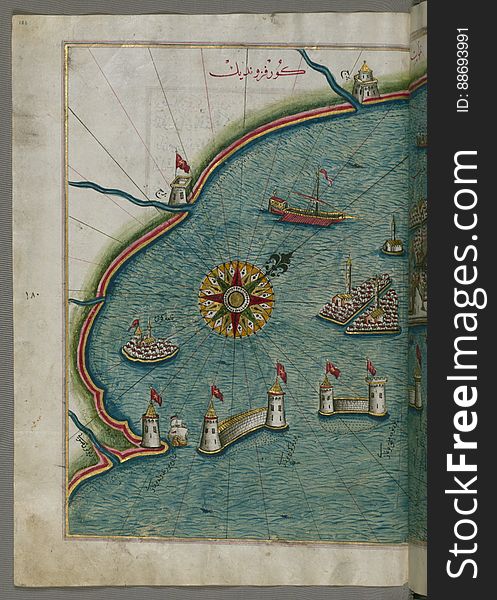
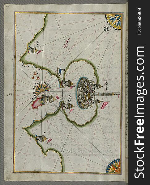
Illuminated Manuscript, Map of the port of Brindisi (Parindīs) from Book on Navigation, Walters Art Museum Ms. W.658, f
Illuminated Manuscript, Map of the coastline from Marano (MÅ«rÄn) to Caorle (QÄvarlÄ«), Province of Venice f
Illuminated Manuscript, Map of the town of Bari and the surrounding area from Book on Navigation, Walters Art Museum Ms. W.658, fo
Illuminated Manuscript, Map of the western Italian coast as far as Naples (PÅ«lye AnÄpÅ«lÄ«sÄ«)and the island if Ischia
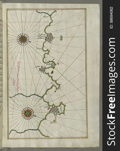
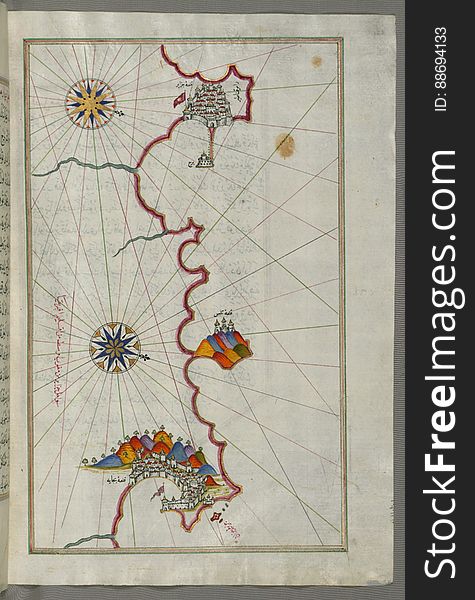
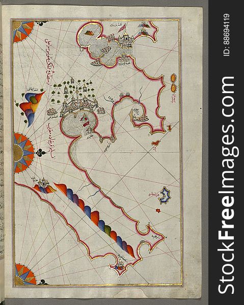
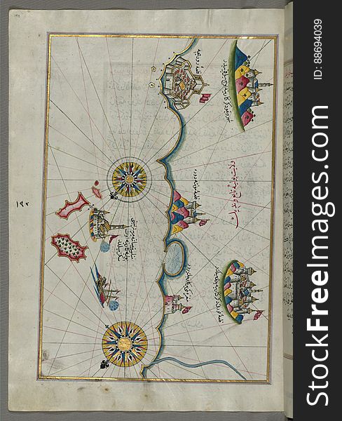
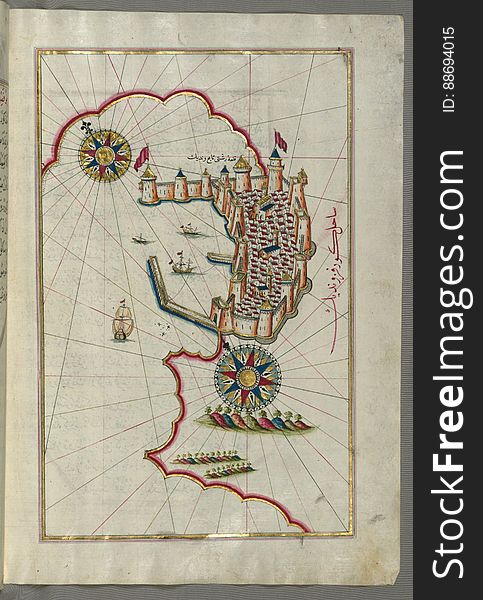
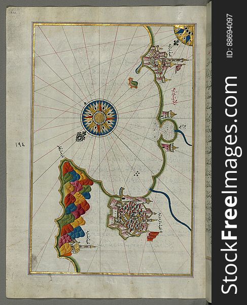
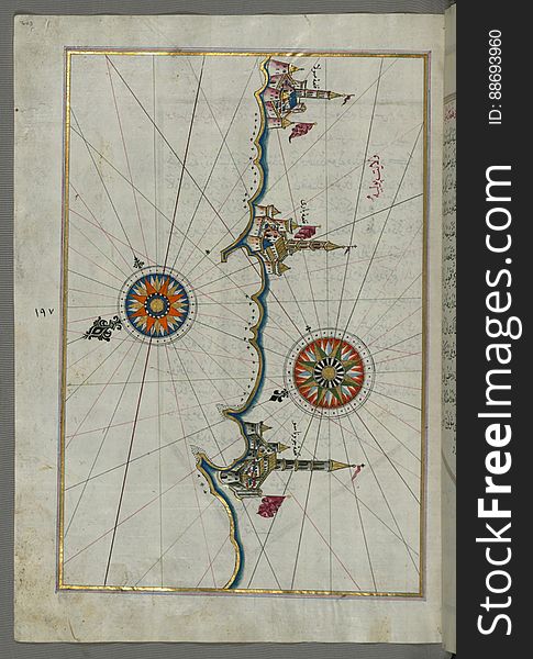
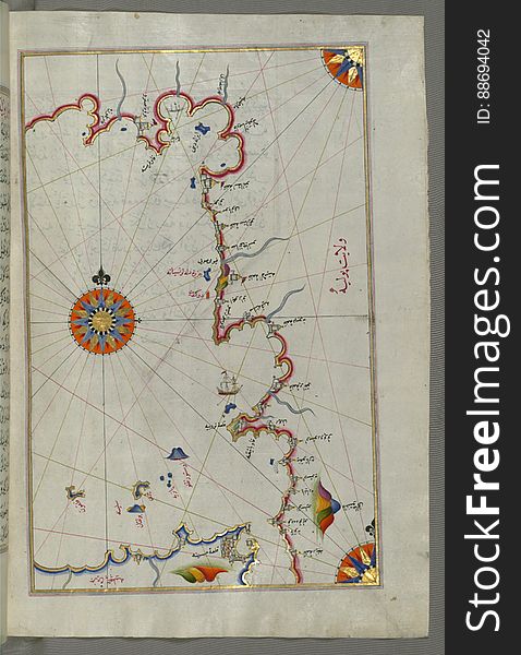
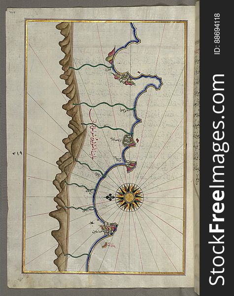
Illuminated Manuscript, Map of the eastern Mediterranean coast and city of Tripoli (ṬarÄbulus–i ShÄm) (Lebano
Illuminated Manuscript, Map of the Southern part of the Calabrian peninsula and the straits of Messina (Mesīne) from Bo
Illuminated Manuscript, Map of the straits of Messina and the western Italian coast from Book on Navigation, Walters Art Museum Ms
Illuminated Manuscript, Map of the Algerian coast around Ora from Melilla (Malīlah) and northwest of Tlemcen (Tili
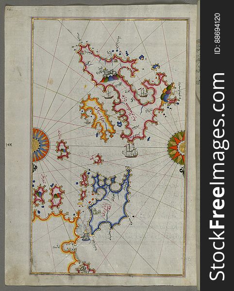
Illuminated Manuscript, Map of Cres (Cherso, QÄrsÅ«), LoÅ¡inj (FeghÄle) and Unije islands (Croatia)
Illuminated Manuscript, Map of the Italian coastline from Barletta to Trani from Book on Navigation, Walters Art Museum Ms. W.658
Illuminated Manuscript, Map of the Anatolian coast as far as Alanya (Ê¿AlÄʾiye, Alaiye) from Book on Navigation, Walte
Illuminated Manuscript, Map of the Italian coast south of Ancona as far as the town of Pescara (BeshÄre) from Book on N
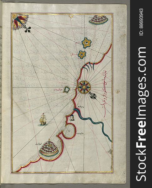
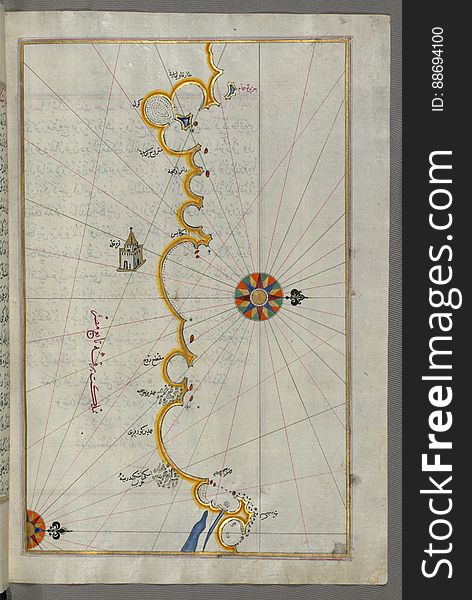
Illuminated Manuscript, Map of the Egyptian coast from Matrūḥ east towards Alexandria from Book on Navigation, Walters Art Muse
Illuminated Manuscript, Map of the French coast from the Italian border as far as Nice (NÄ«se) from Book on Navigation
Illuminated Manuscript, Map of The Bay of Corinth from Book on Navigation, Walters Art Museum Ms. W.658, fol.137a
Illuminated Manuscript, Map of the coastline from Izola (Īzele) as far as Koper (Capodistria, Dishtriye) 
Next page
8
/ 12
Home
Search for Lebanon free images