Browse categories
Log in
Sign up
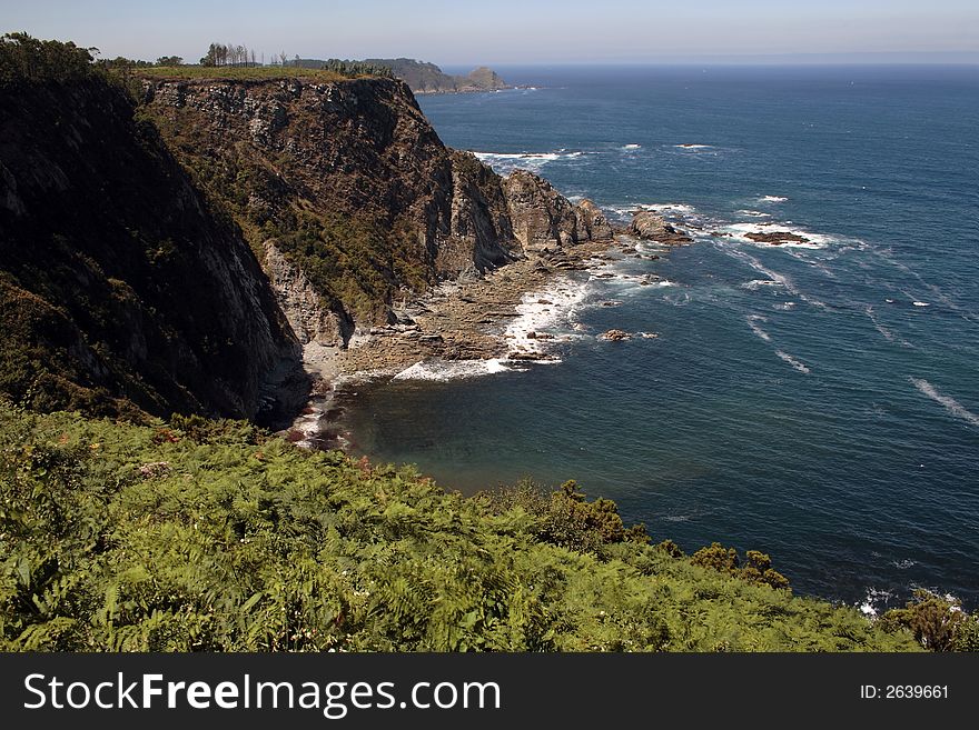
North Spain Free Stock Images
Safe search
Include:
RF-LL
Public Domain
Illuminated Manuscript, Map of the coast of the Black Sea from Istanbul to Geresun from Book on Navigation, Walters Art Museum Ms.
Illuminated Manuscript, Map of the eastern Mediterranean coast (here the coast of Ä°skenderun) and the cities of Latakia
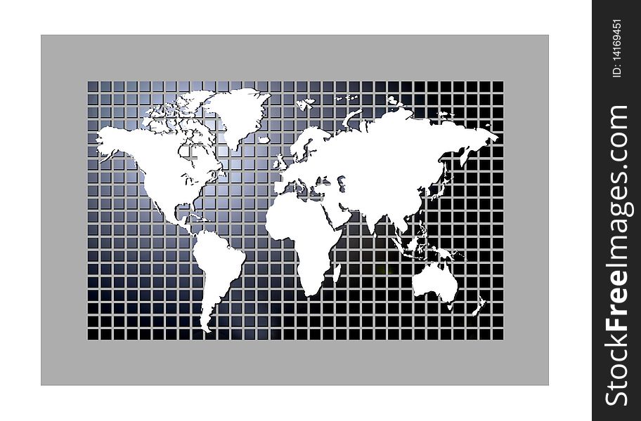
Digital World
The Dam
Illuminated Manuscript, Map of the Algerian and Tunisian coast from Annaba (BilÄd al-Ê¿UnnÄb) to Tabarka (TabÄra
Fields 4
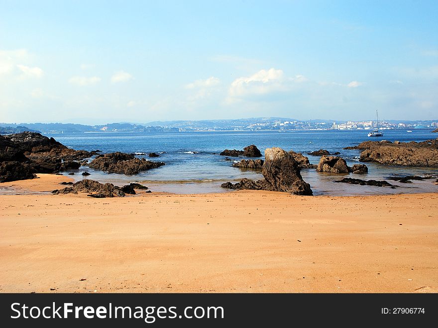
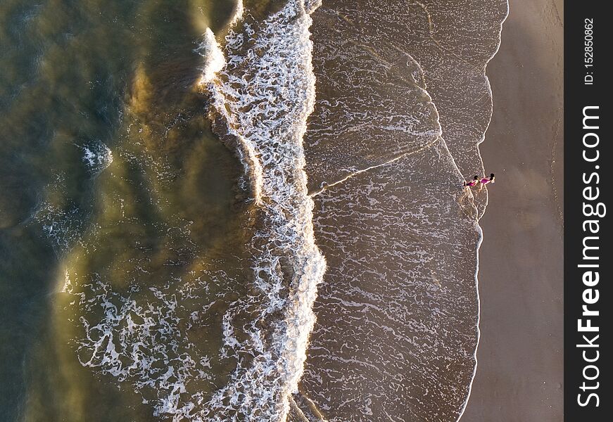
Spanish beach
Mine
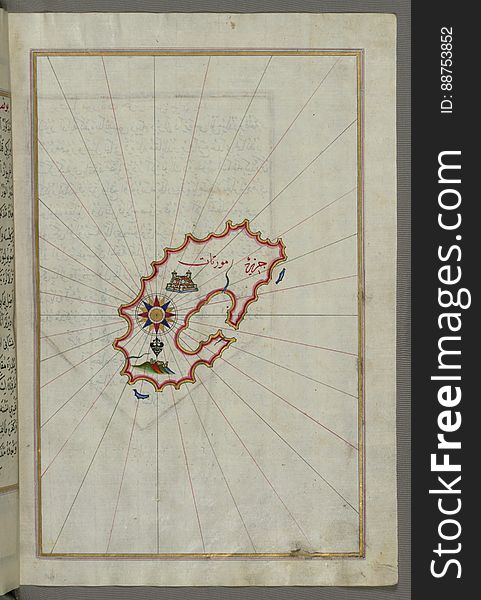
Illuminated Manuscript, Map of Keos (Kea, Murtat, Mürted) island from Book on Navigation, Walters Art Museum Ms. W.658
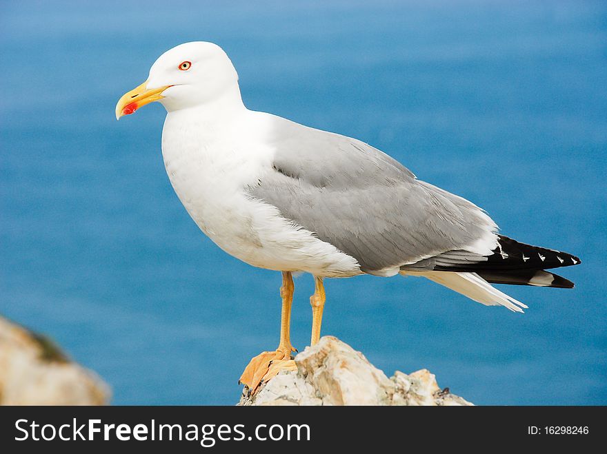
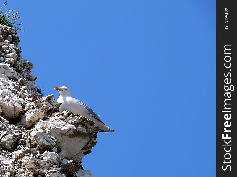
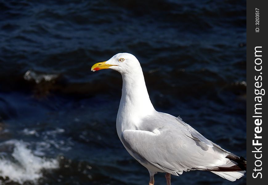
Seagull
Fields 2
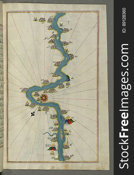
Illuminated Manuscript, Map of the Nile River with various oases on each as far as Sīdī Maʿrūf from Book on Navigation, Walte
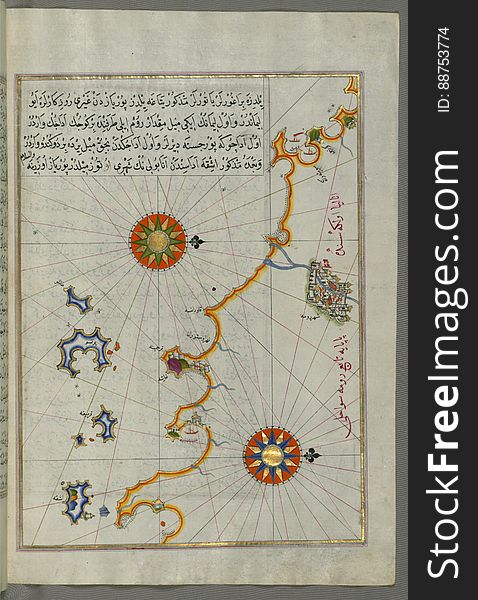
Illuminated Manuscript, Map of the "Syrian coast" and the cities: Gaza (Ghazzah) and Ramlah (present-day
Illuminated Manuscript, Map of Melos (Deġirmenlik) island from Book on Navigation, Walters Art Museum Ms. W.658, fol.35
Illuminated Manuscript, Map of two islands: Santorini (á¹¢ÄntÅ«rÅ«n) and Thera (Thira) in the Aegean Sea, nor
Turkey flag with basketball
Illuminated Manuscript, Map of Kythnos (Termia) island from Book on Navigation, Walters Art Museum Ms. W.658, fol.360b
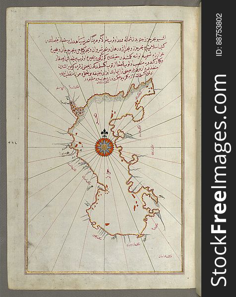
Illuminated Manuscript, Map of the Caspian Sea (Baḥr-i Khazar) from Book on Navigation, Walters Art Museum Ms. W.658
Illuminated Manuscript, Map of two islands off Majorca: Ibiza (YÅ«se) and Formentera from Book on Navigation, Walters Ar
Illuminated Manuscript, Map of the Libyan coast towards the Egyptian border from Book on Navigation, Walters Art Museum Ms. W.658
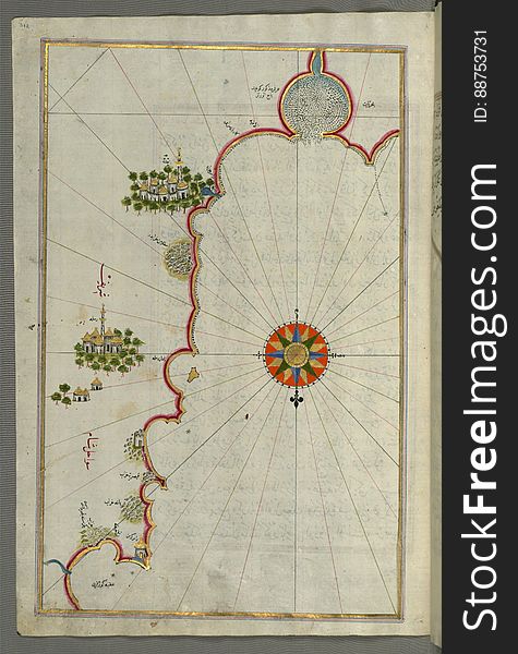
Illuminated Manuscript, Map of the Anatolian coast around Anamur (Turkey) from Book on Navigation, Walters Art Museum Ms
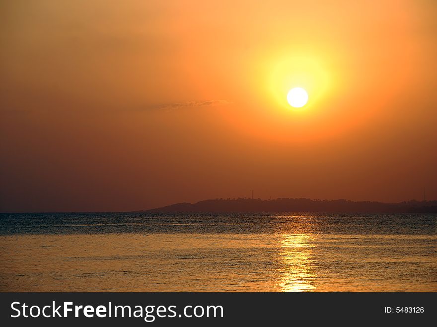
Sunset
Illuminated Manuscript, Map of the islands Foleġandros and Ios (İnyos, İnye) from Book on Navigation, Walters Art Mus
Illuminated Manuscript, Map of the islands Foleġandros and Melos (Deġirmenlik) from Book on Navigation, Walters Art Mu
Euro
Illuminated Manuscript, Map of the Egyptian coast from Salūm east from Book on Navigation, Walters Art Museum Ms. W.658, fol.297b
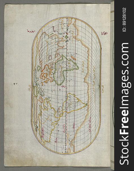
Illuminated Manuscript Map of the World from Book on Navigation, Walters Art Museum Ms. W.658, fol. 41a
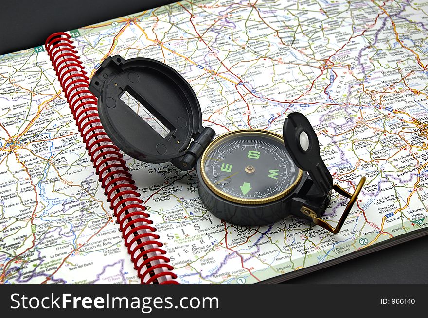
Compass on the map
Seagull
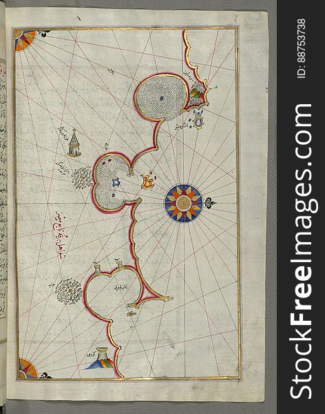
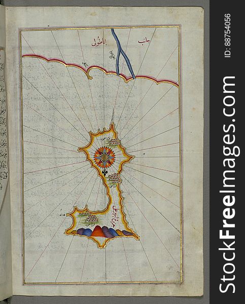
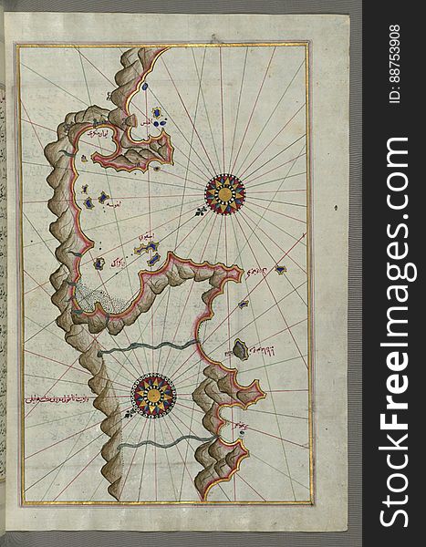
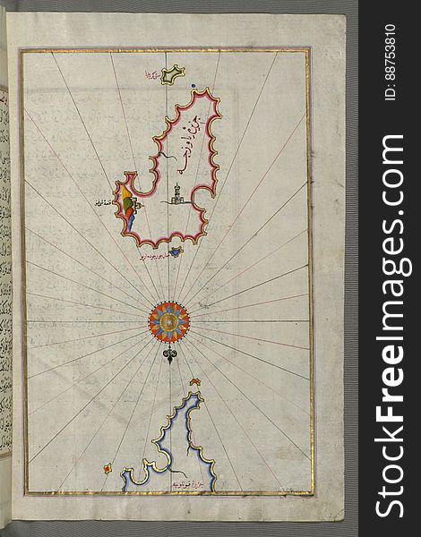
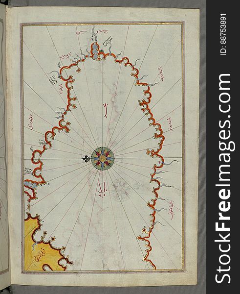
Illuminated Manuscript, Map of the island of Mīr ʿAlī from Book on Navigation, Walters Art Museum Ms. W.658, fol.369b
Illuminated Manuscript, Map of the Libyan coast as far as Salūm (Egypt) from Book on Navigation, Walters Art Museum Ms.
The sea of Marmara and the islands of the eastern Aegean Sea from Semendrek (Samothraki) as far as Chios (Sakiz, á¹
Illuminated Manuscript, Map of the Black Sea coastline from Book on Navigation, Walters Art Museum Ms. W.658, fol.373a
Seagull
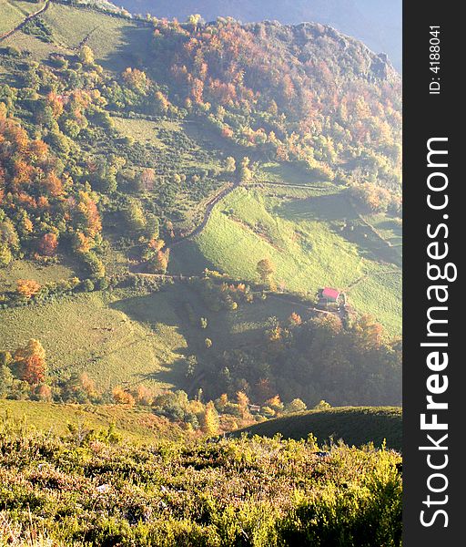
Village
Spanish beach sight
Fields 3
Illuminated Manuscript, Map of the Islands of Mojorca (MiyÄrqÅ«)and Minorca (MinÄrqÅ«) from Book on Navigati
Spanish coast
Illuminated Manuscript, Map of the western Italian coast as far as the city of Rome (RÅ«mah) from Book on Navigation, Wa
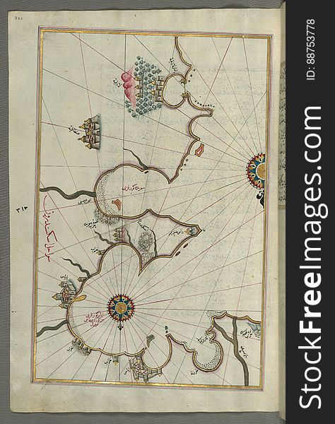
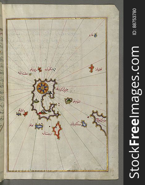
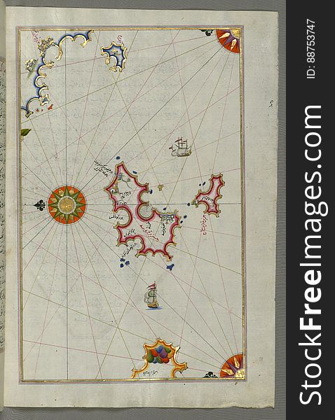
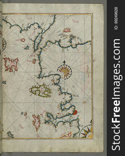
Illuminated Manuscript, Map of unidentified islands off the southern Anatolian coast from Book on Navigation, Walters Art Museum
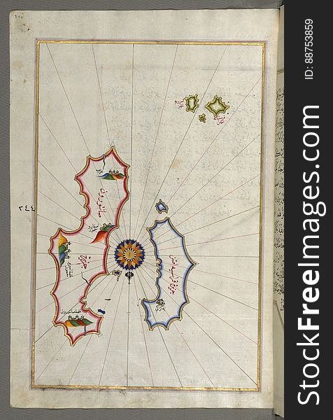
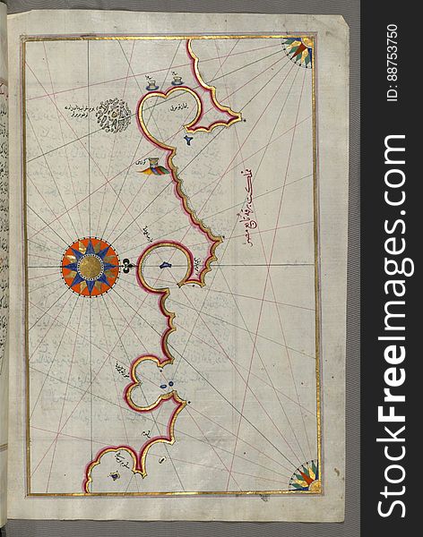
Illuminated Manuscript, Map of the Aloneses (Čamlığa) from Book on Navigation, Walters Art Museum Ms. W.658, fol.364b
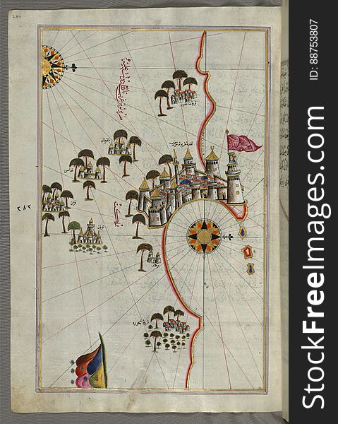
Illuminated Manuscript, Map of the fortress of Tripoli (ṬarÄbulus-i Maghrib) and the surrounding area from Book on Na
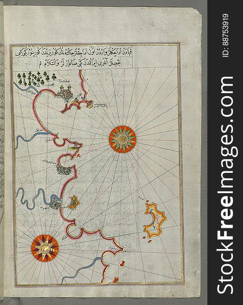
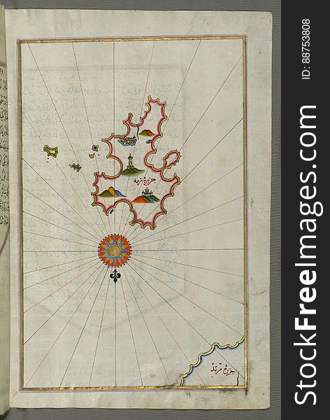
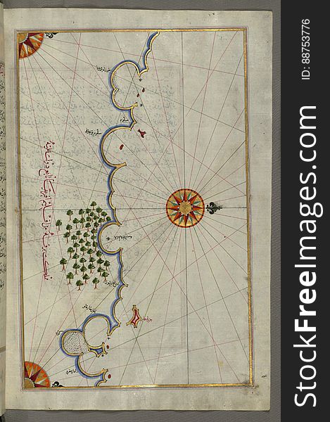
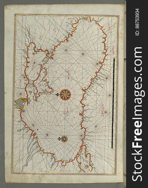
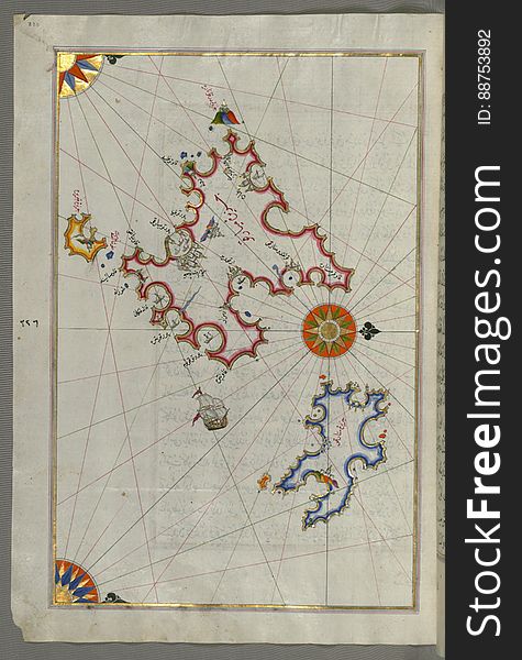
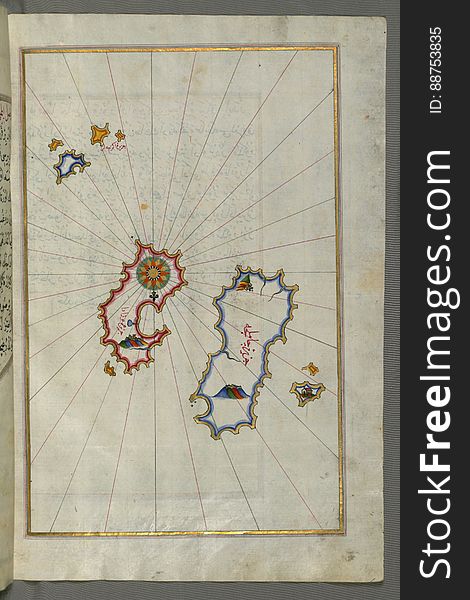
Illuminated Manuscript, Map from Book on Navigation, Walters Art Museum Ms. W.658, fol.358b
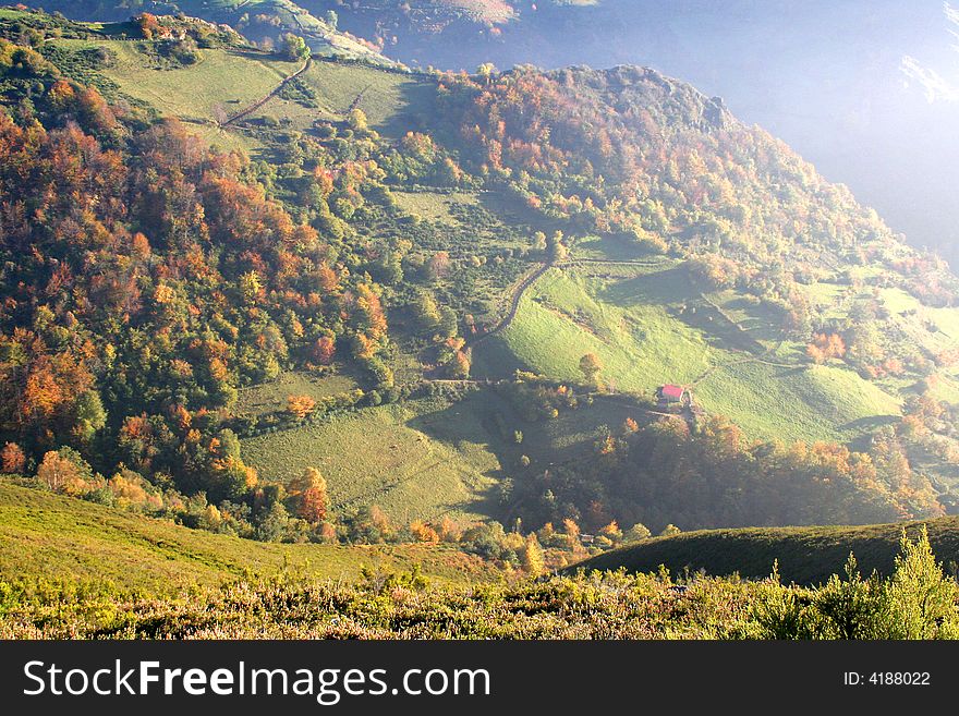
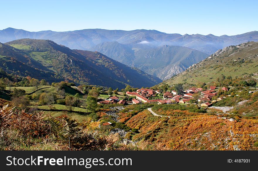
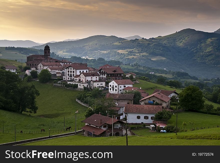
Mountain village
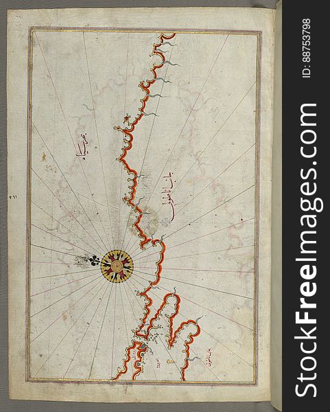
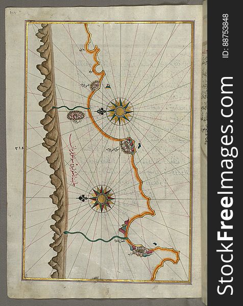
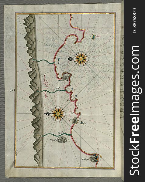
Illuminated Manuscript, Map of the Anatolian coast from Silfke to Anamur from Book on Navigation, Walters Art Museum Ms. W.658, fo
Illuminated Manuscript, Map of the coast line of the Black Sea from Book on Navigation, Walters Art Museum Ms. W.658, fol.371b
Next page
7
/ 8
Home
Search for North spain free images