Browse categories
Log in
Sign up
Navigation Black Sea Free Stock Images
Safe search
Include:
RF-LL
Public Domain
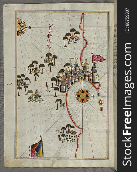
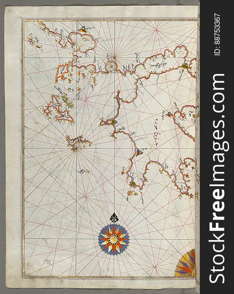
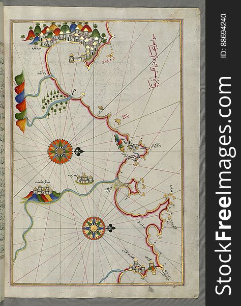
Illuminated Manuscript, Map of the coastline from Umag (Umago, ŪmÄghÅ«) as far as Piran (PirÄnÅ«) (Slo
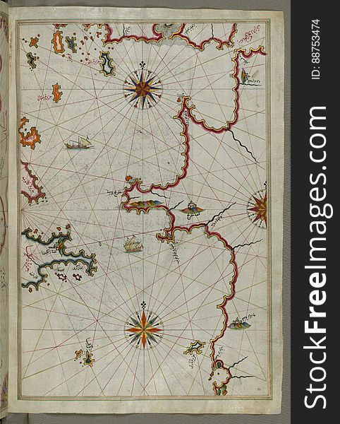
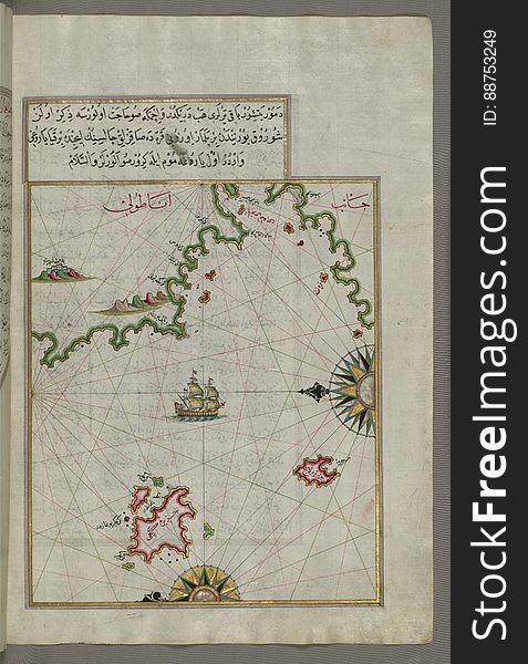
Illuminated Manuscript, Map of the eastern Mediterranean coast (here the coast of Ä°skenderun) and the cities of Latakia
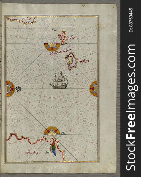
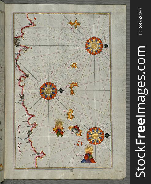
Illuminated Manuscript The Cyclades (Kikladhes) islands between the Peloponnese (Morea, Mora) peninsula and Cr
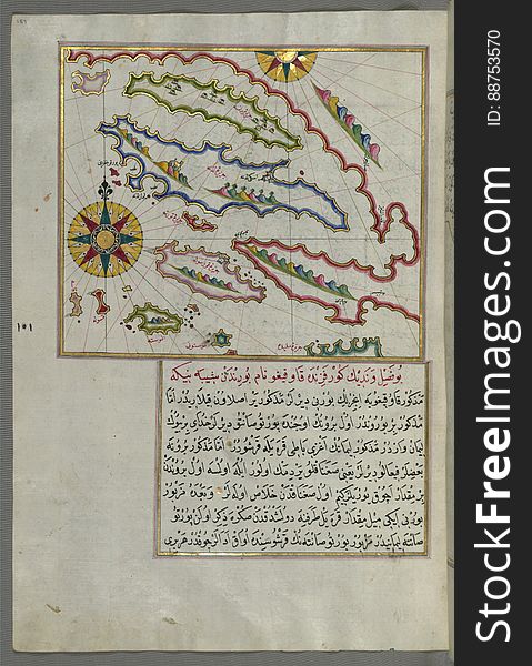
Illuminated Manuscript The Peloponnese (Morea, Mora) peninsula with the island of Kythira (Cerigo, Òªoke) and
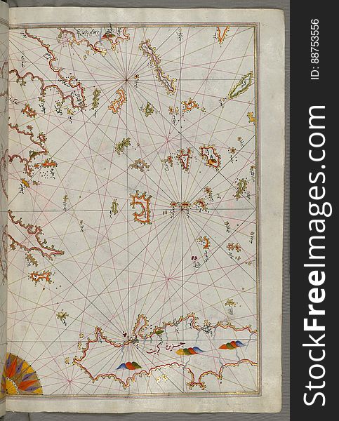
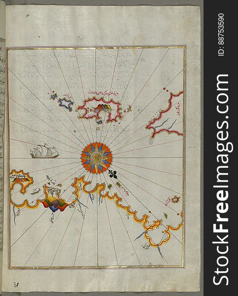
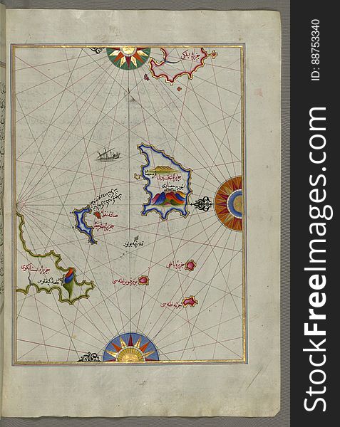
Illuminated Manuscript Small islands in the region of Naxos (Naḳşe) and Amorgos (Yamurgi) in the southeast
Anchor
Dolphins
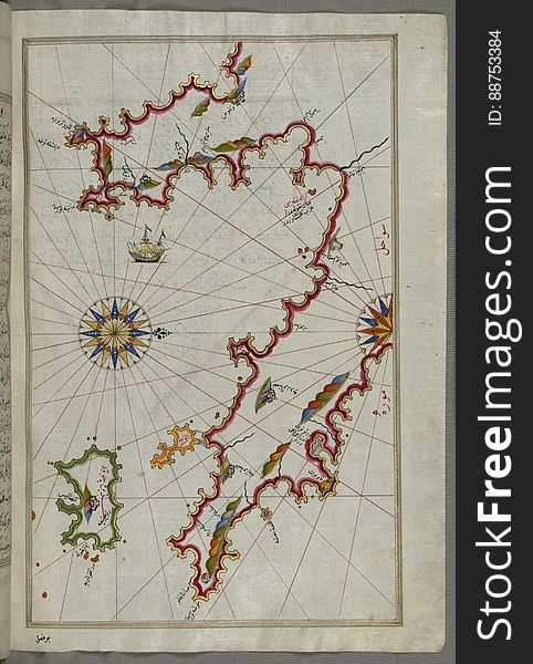
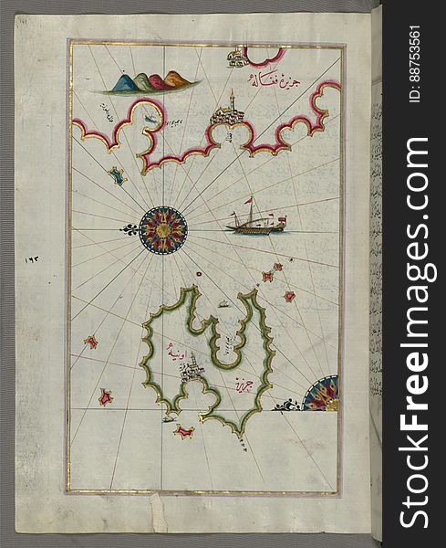
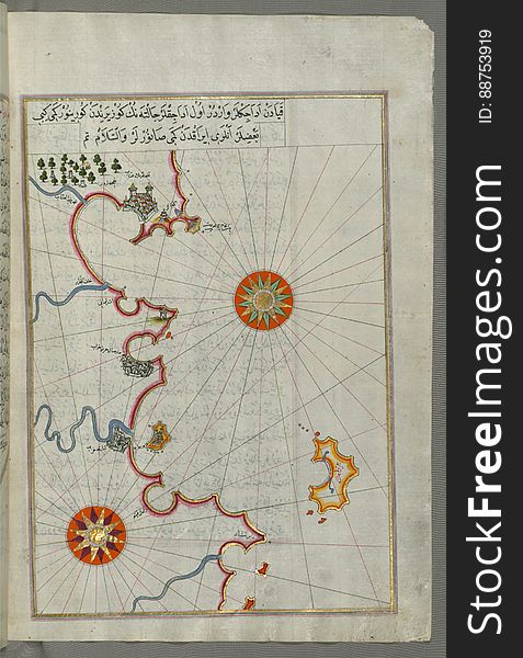
Illuminated Manuscript, Map of the island of Unije (Uniye) south of LoÅ¡inj (FeghÄle) island (Croatia&#x
Front of a boat
Illuminated Manuscript, Map of the Tunisian coast with the cities of Kelibia (QalabÄ«yah), Hammamet (ḤammÄmÄt&#
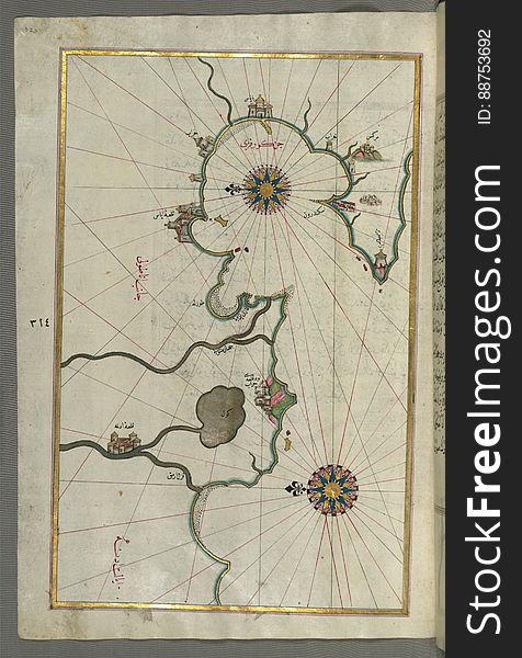
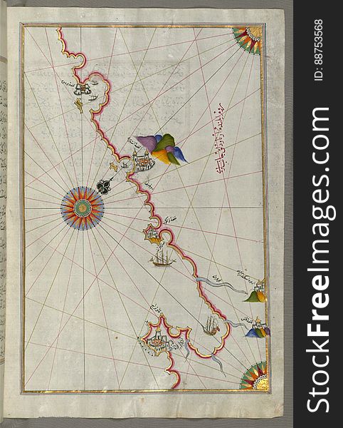
Illuminated Manuscript, Map of the Anatolian coast, the city of Ä°skenderun (Alexandretta) as afar as the shores of Adan
Illuminated Manuscript, Map of the Islands of Mojorca (MiyÄrqÅ«)and Minorca (MinÄrqÅ«) from Book on Navigati
Illuminated Manuscript, Map of the eastern Mediterranean coast beginning with the island of KhÄtÅ«n as far as Latakia (LÄdh
Compass in vector
Illuminated Manuscript, The area between Corfu (Kerkira, Kūrfūz) and Paxi (Paxoi) islands from Book on Navig
Illuminated Manuscript, Map of the eastern Mediterranean coast as far as the city of Beirut (Lebanon) from Book on Navig
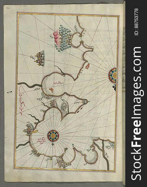
Illuminated Manuscript, Map of a group of islands north of KorÄula (QÅ«rsÅ«lah), probably Hvar and BraÄ (Croatia&
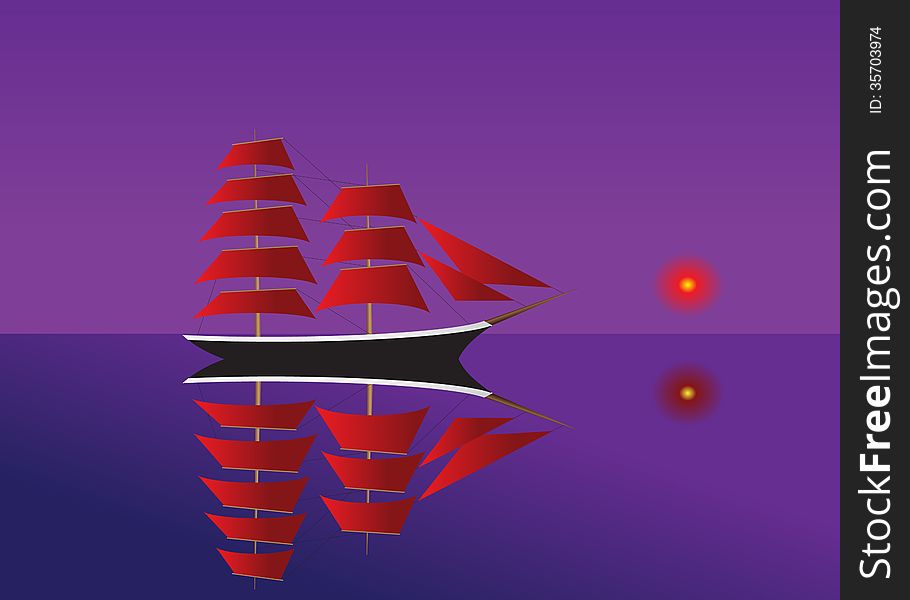
Moonlight sail
Illuminated Manuscript Nisyros (Inǧirlü) island south of Cos (Stancho, İstanköy) island in the eastern Aeg
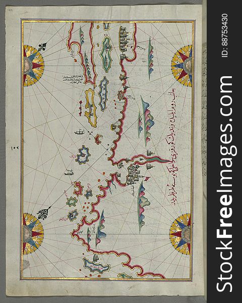
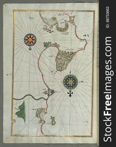
Illuminated Manuscript, Map of the coastline and the islands between Å ibenik and Zadar (ZÄdare) (Croatia) fr
Sailboat
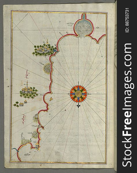
Illuminated Manuscript, Map of the Libyan coast from Tripoli (ṬarÄbulus-i Maghrib)east towards Egypt from Book on Nav
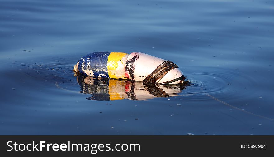
Buoy
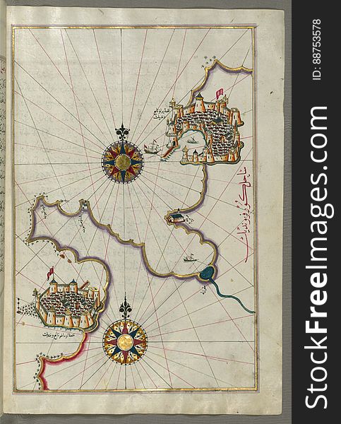
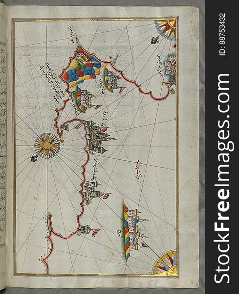
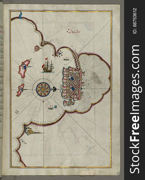
Illuminated Manuscript, Map of the fortress of Tripoli (ṬarÄbulus-i Maghrib) and the surrounding area from Book on Na
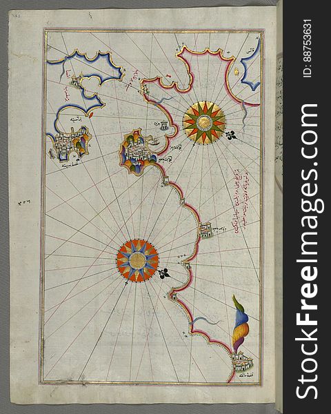
Illuminated Manuscript The Islands of Zakynthos (ZÄkÄ«se), Kefalonia (Kefallinia, KafÄlÅ«nye) and Lefkada &
Illuminated Manuscript, Map of the Algerian coast from the port of Bejaia (BajÄyah) as far as Annaba (Balad al-Ê¿U
Menorca Lighthouse
Illuminated Manuscript, The Adriatic coast from DraÄ (Durezzo, TrÄj) north of Karaburun as far as Budva from Book on
Ship
Illuminated Manuscript, Map of the Algerian and Tunisian coast from Annaba (BilÄd al-Ê¿UnnÄb) to Tabarka (TabÄra
Illuminated Manuscript, Map of the coast of Catalonia (Spain) with the ports of Barcellona (BÄrselÅ«niye) and
Illuminated Manuscript, Western part of the Peloponnese (Morea, Mora) peninsula opposite the Zakynthos (Zante, ZÄk
Catamaran deck
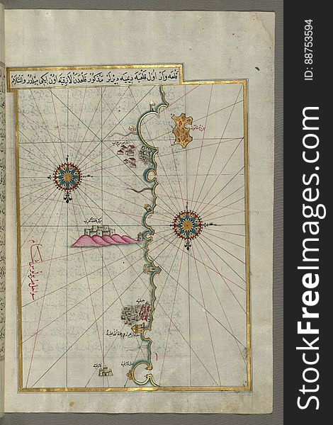
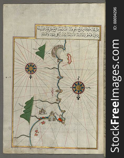
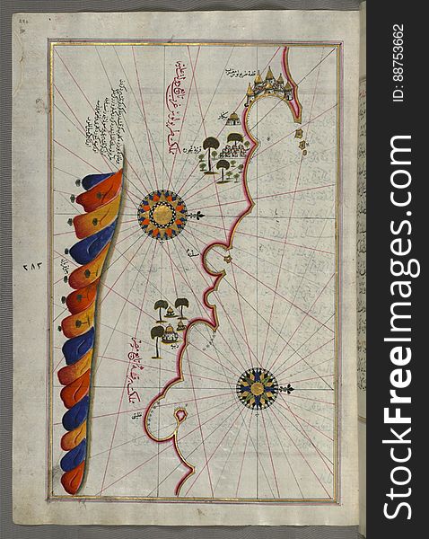
Illuminated Manuscript, Map of the "Syrian coast" and the cities: Gaza (Ghazzah) and Ramlah (present-day
Illuminated Manuscript, Map of the Italian coast from Lecce (Laj) to Gallipoli (Kelibūlī) (towards the
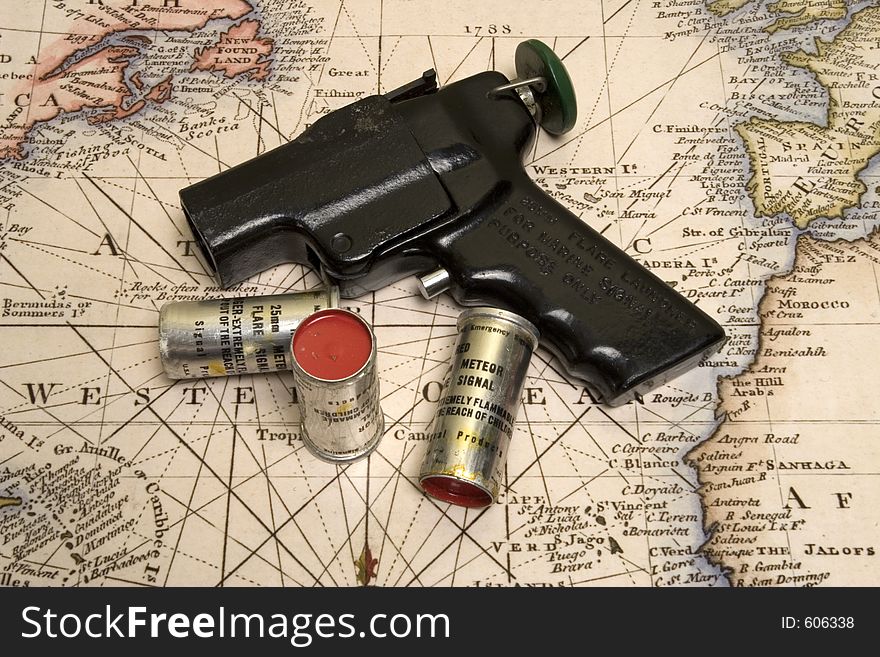
Flare Gun on the map
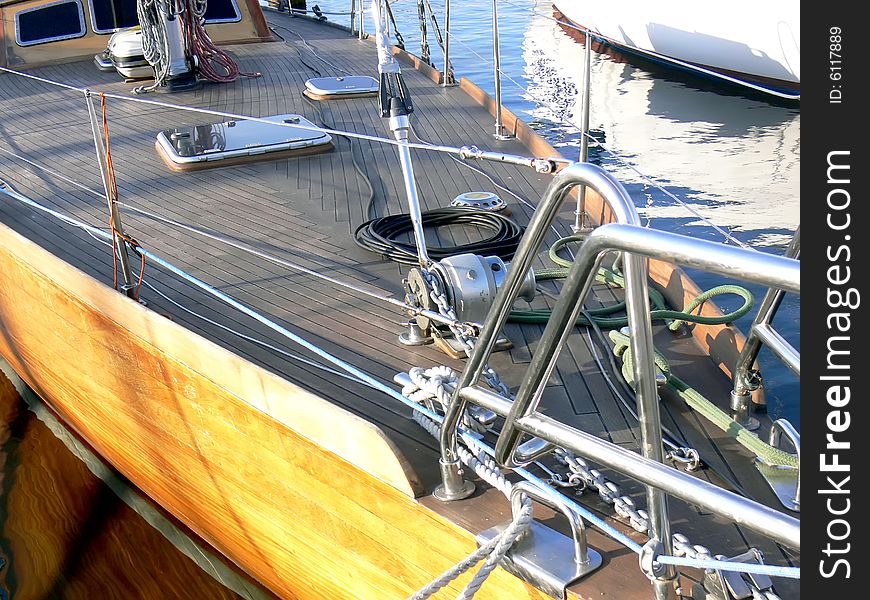
Sail boat deck
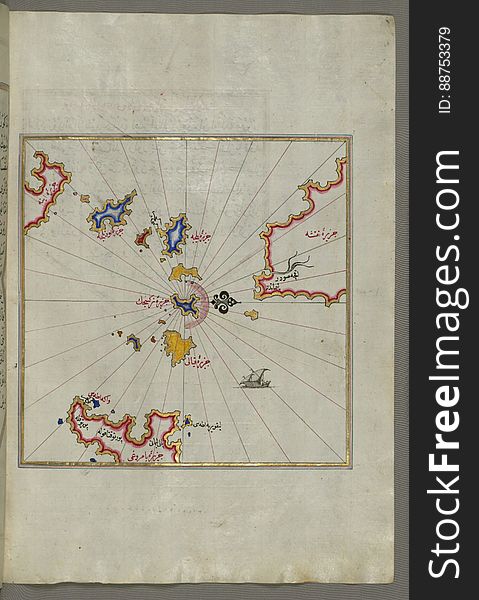
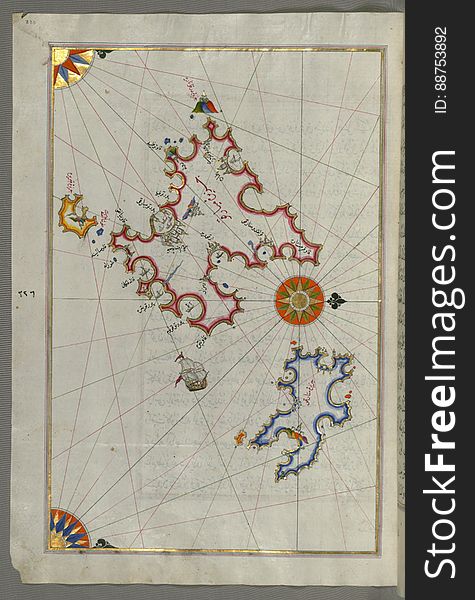
Illuminated Manuscript Two small islands between Amorgos (Yamurgi) and Cos (Stancho, İstanköy) in the easter
Illuminated Manuscript, Map of the Strait of Gibraltar with the cities of Gibraltar (Jabal-i Fatḥ) and Ceuta (Sap
Ship.
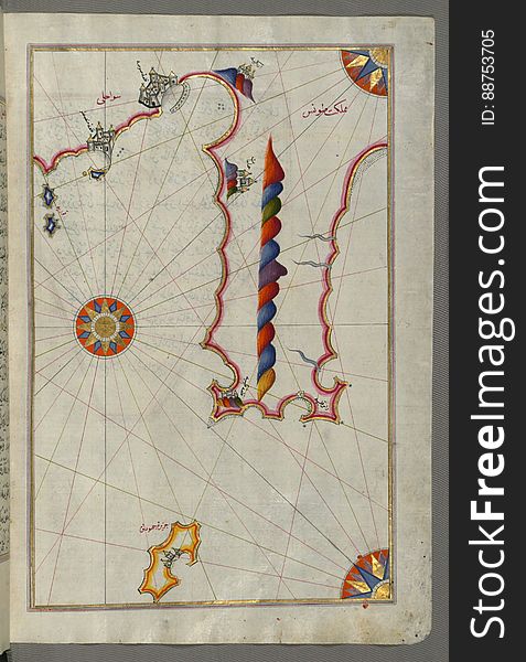
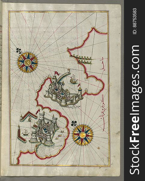
Two small islands of the coast of Anatolia south of Samos (ṢūṣÄm) and east of the city of Balat on the Anatolian s
Illuminated Manuscript, Map of the eastern Mediterranean coast with the city of Tyre (Ṣūr) (Lebanon) from B
Mooring
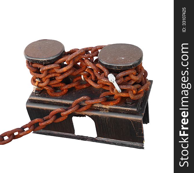
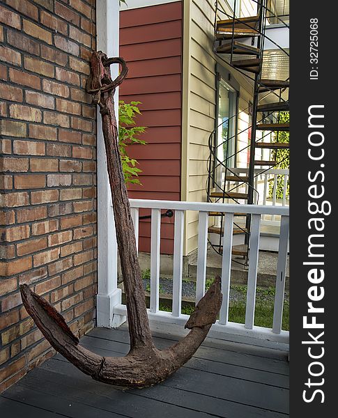
Rusted anchor
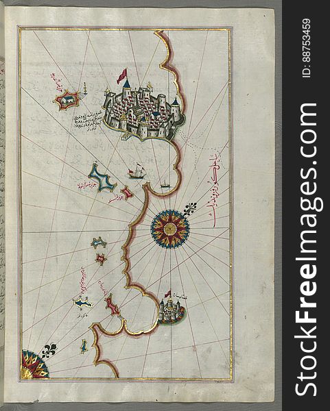
Illuminated Manuscript, Map of the northern coast of Sicily (here called the island of Messina, Mesīne) from Milazzo &#
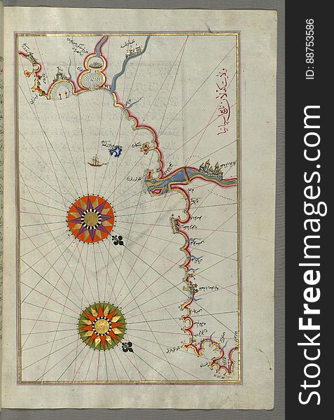
Illuminated Manuscript, Map of the coastline form Rovinj as far as the fortress of PoreÄ (Parenzo, BrÄnse) (Croat
Illuminated Manuscript, Map of the city of Taranto (TarÄnde) in the province of Puglia (PÅ«lye)(Western
Illuminated Manuscript, Map of the coastline between the cities of Koper (Capodistria, Dishtriye) and Muggia (Milj
Next page
6
/ 7
Home
Search for Navigation black sea free images