Browse categories
Log in
Sign up
Manuscript Free Stock Images
Related searches:
books
vintage book
two men
spelling
serene
Safe search
Include:
RF-LL
Public Domain
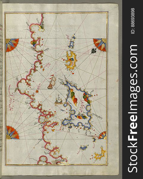
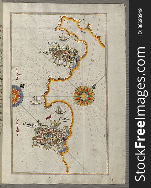
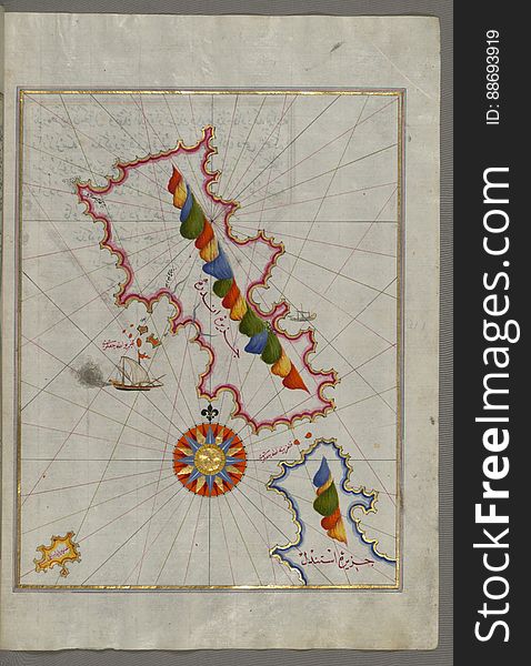
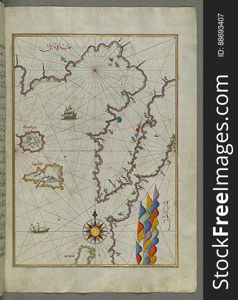
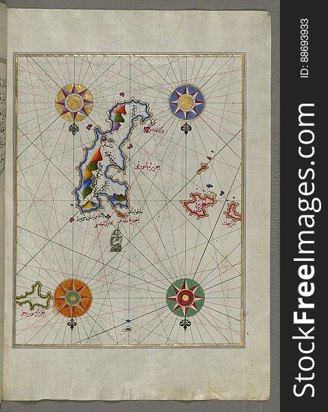
Illuminated Manuscript, The Islands of Corfu (Kerkira, Kūrfūz) and Paxi (Paxoi) from Book on Navigation, Wal
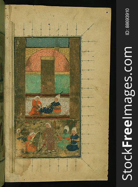
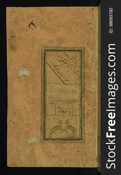
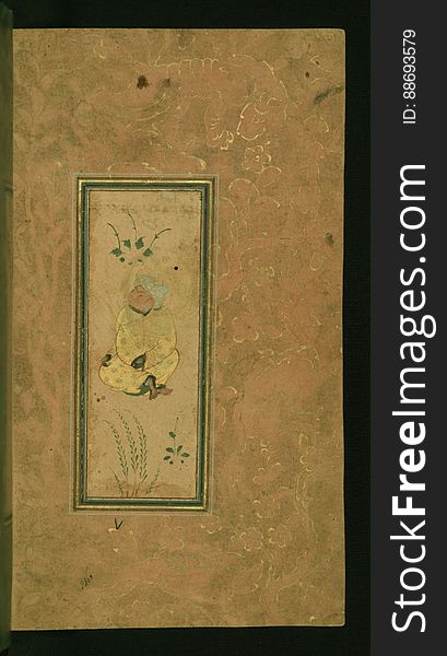
Illuminated Manuscript Collected works (Kulliyat), Walters Art Museum Ms. 617, fol. 2b
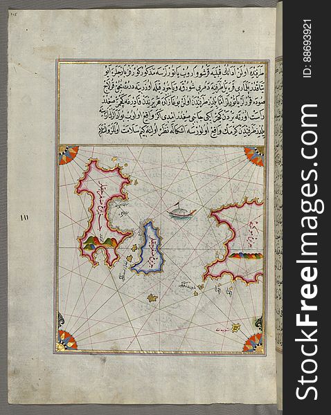
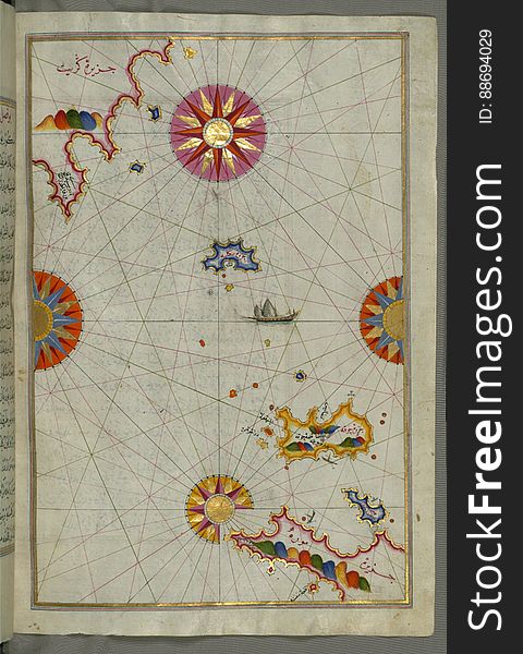
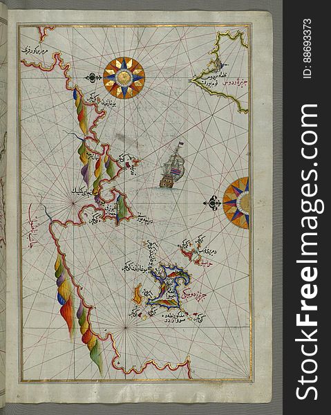
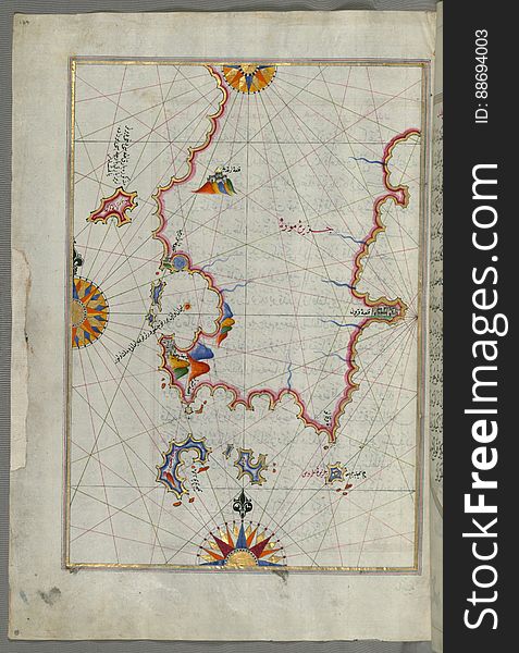
Illuminated Manuscript The islands of Delos and Rineia west of Mykonos island in the Aegean Sea, from Book on Navigation, Walters
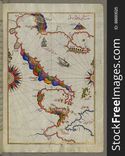
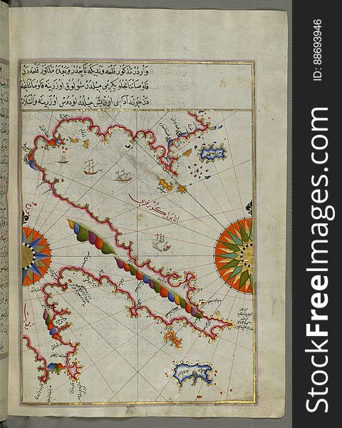
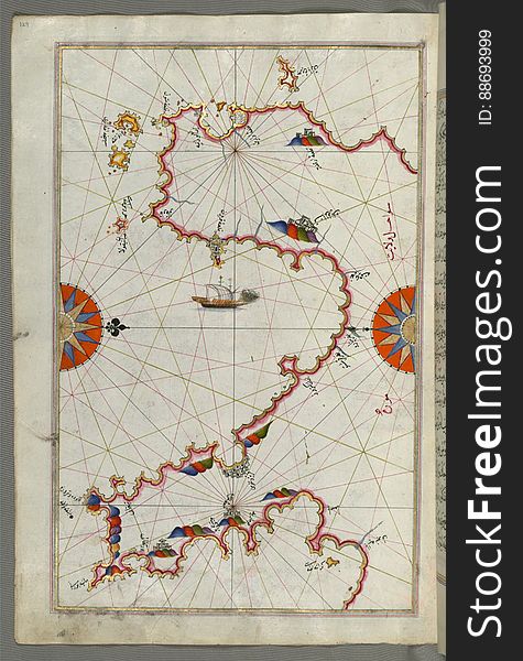
Illuminated Manuscript, Map of the Italian coastline south of Ancona including Tronto from Book on Navigation, Walters Art Museum
Illuminated Manuscript, Map of the coastline from Novi Grad as far as Umag (Umago, ŪmÄghÅ«) (Croatia) from B
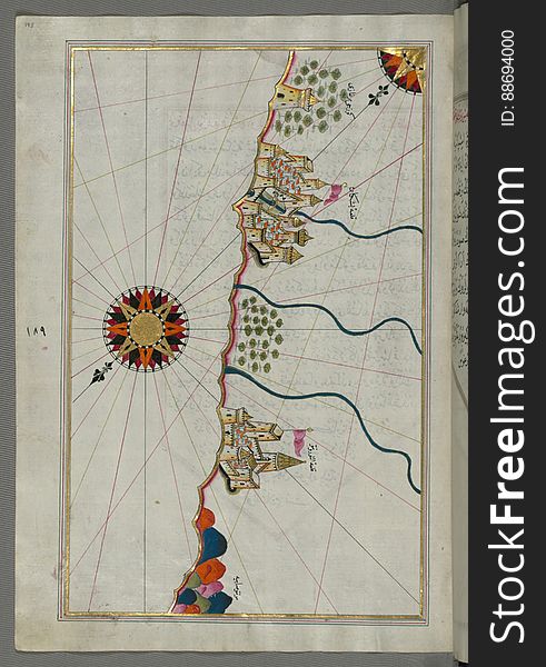
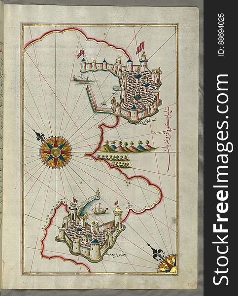
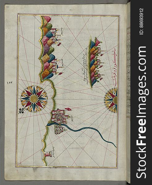
Illuminated Manuscript, Map of the town of Bari and the surrounding area from Book on Navigation, Walters Art Museum Ms. W.658, fo
Illuminated Manuscript, Map of the coastline from PoreÄ (Parenzo, BrÄnse) as far as Novi Grad (Croatia) from
Illuminated Manuscript, Map of the Italian coast south of Ancona as far as the town of Pescara (BeshÄre) from Book on N
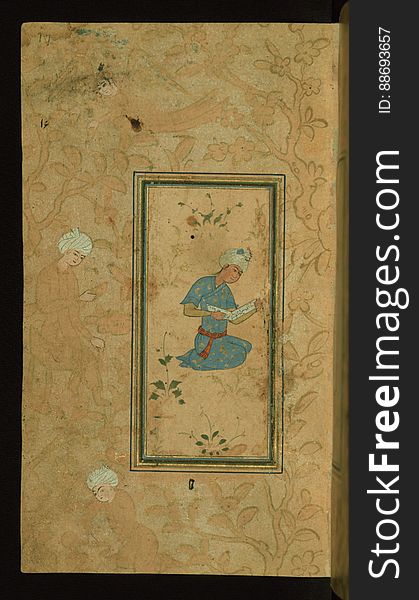
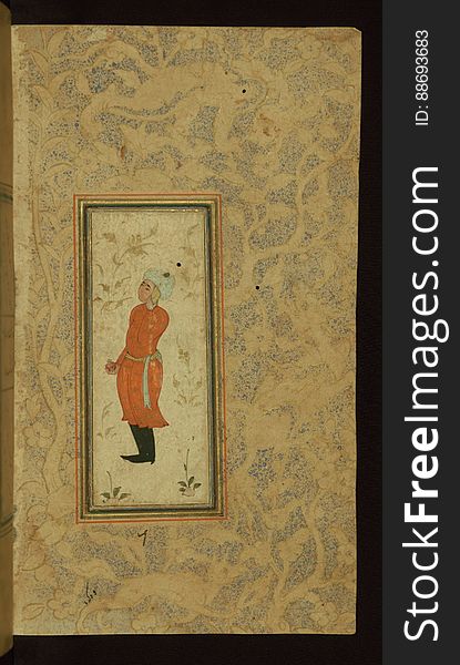
Illuminated Manuscript Anthology of Persian poetry, Walters Art Museum Ms. W.653, fol. 17a
Illuminated Manuscript Collected works (Kulliyat), Walters Art Museum Ms. 617, fol. 270a
Illuminated Manuscript, The island of Andros (Andre, Andra) in the northern Aegean Sea, from Book on Navigation, Walters
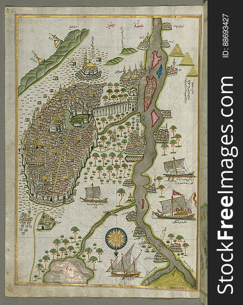
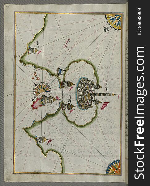
Illuminated Manuscript Map of Cairo, from Book on Navigation, Walters Ms. W.658, fol. 305b
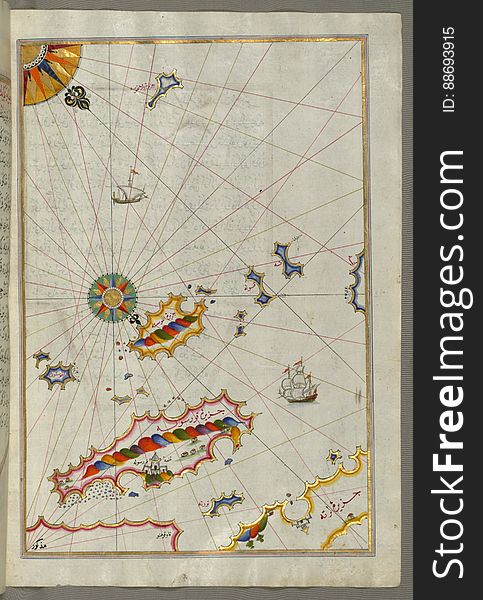
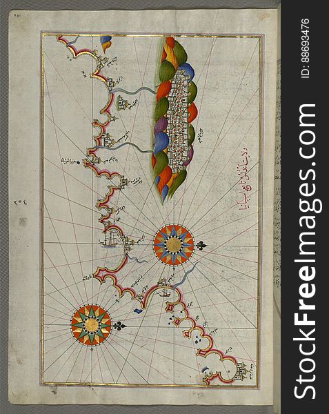
Illuminated Manuscript Map of the area west of the island of Thasos (Taşöz) and the Ayion Oros Peninsula, from Book on
Illuminated Manuscript, Map of the coastline from Muggia (Milje, Mūye) to Trieste (Rishtī) (Italy)
Illuminated Manuscript Map of the Bay of Salonica (SelÄnÄ«k,Thessalonici) and the western coastline, from Book on Navig
Illuminated Manuscript, Map of the coastline and the islands off Zadar (ZÄdare)(Croatia) from Book on Navigat
Illuminated Manuscript, Map of the Italian coastline from Barletta to Trani from Book on Navigation, Walters Art Museum Ms. W.658
Illuminated Manuscript Map of The Islands of Semendrek (Samothraki) and Imroz (Imbros) in the Aegean Sea, from
Illuminated Manuscript Argolikos (Anaboli) Bay and Peloponnese (Morea, Mora) peninsula , from Book on Navigat
Illuminated Manuscript Tinos (Ä°stendil) island in the Aegean Sea, from Book on Navigation, Walters Art Museum Ms. W.65
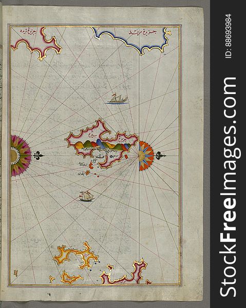
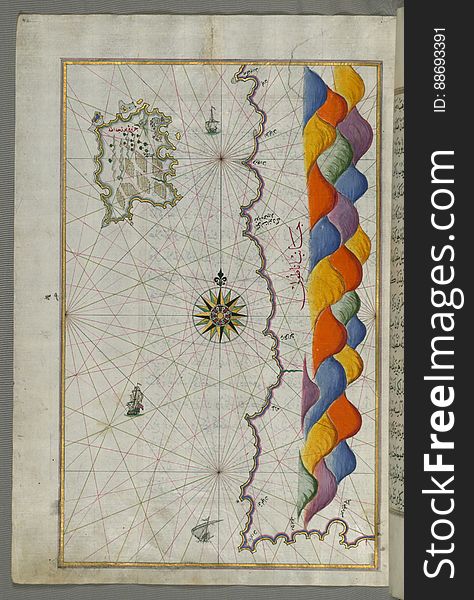
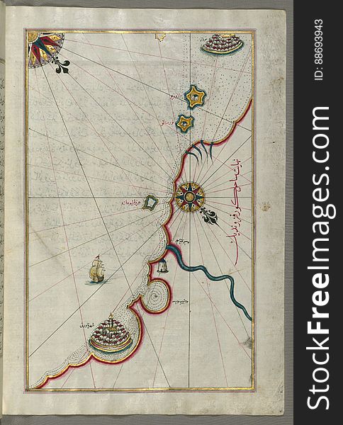
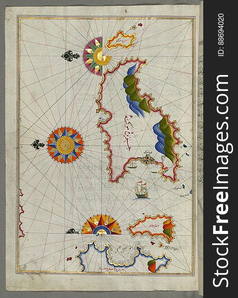
Illuminated Manuscript, The area between Corfu (Kerkira, Kūrfūz) and Paxi (Paxoi) islands from Book on Navi
Illuminated Manuscript Anthology of Persian poetry, Walters Art Museum Ms. W.653, fol. 19b
Illuminated Manuscript Messiniakos Bay (Bay of Messini), fr, om Book on Navigation, Walters Art Museum Ms. W.658, fol.12
Illuminated Manuscript, Map of the Italian coastline from Rimini south towards Pesaro from Book on Navigation, Walters Art Museum
Illuminated Manuscript Collected works (Kulliyat), Walters Art Museum Ms. 617, fol. 2a
Illuminated Manuscript The stretch of water between the Peloponnese (Morea, Mora) peninsula and the Island of Crete wit
Illuminated Manuscript, The Bay of Salonica (SelÄnÄ«k, Thessaloniki), from Book on Navigation, Walters Art Museum Ms. W
Illuminated Manuscript, Map of two as yet unidentified islands in the vicinity of Pag Island (Croatia) from Book on Nav
Illuminated Manuscript The island of Syros (Sire) in the Aegean Sea, from Book on Navigation, Walters Art Museum Ms. W.6
Illuminated Manuscript Anthology of Persian poetry, Walters Art Museum Ms. W.653, fol. 32a
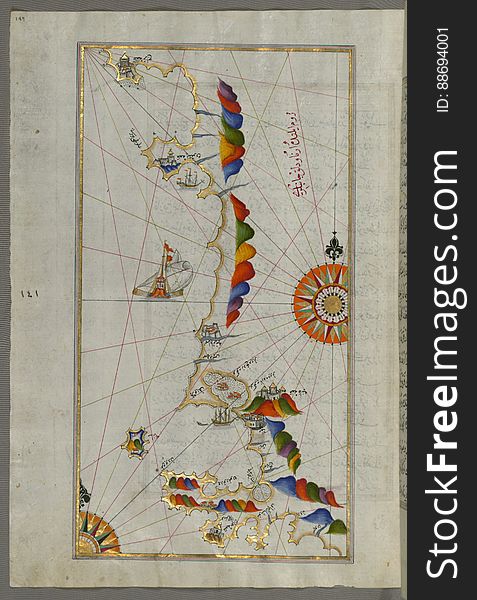
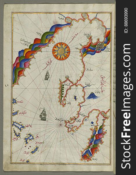
Illuminated Manuscript map of the northeastern tip of Rhodes (Rodos, Rūdūs) Island facing the Anatolian coast with the
Illuminated Manuscript, Map of the Dalmatian Islands: KorÄula (QÅ«rsÅ«lah) and Lastovo (Augusta) off the coas
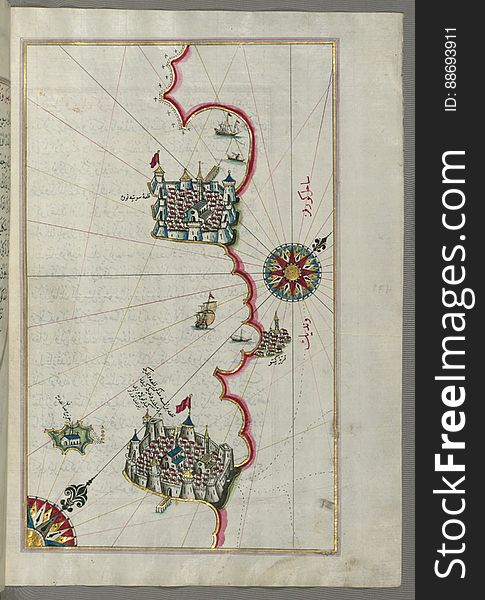
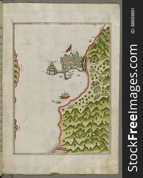
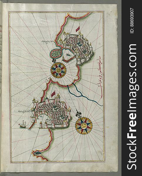
Illuminated Manuscript, Map of the port of Brindisi (Parindīs) from Book on Navigation, Walters Art Museum Ms. W.658, f
Illuminated Manuscript Collected works (Kulliyat), Walters Art Museum Ms. 617, fol. 74a
Illuminated Manuscript, Map of the western part of the city of Venice (Venedīk) from Book on Navigation, Walters Art Mu
Illuminated Manuscript Map of The island of Bozjah (Tenedos) off the coast of Anatolia, from Book on Navigation, Walters
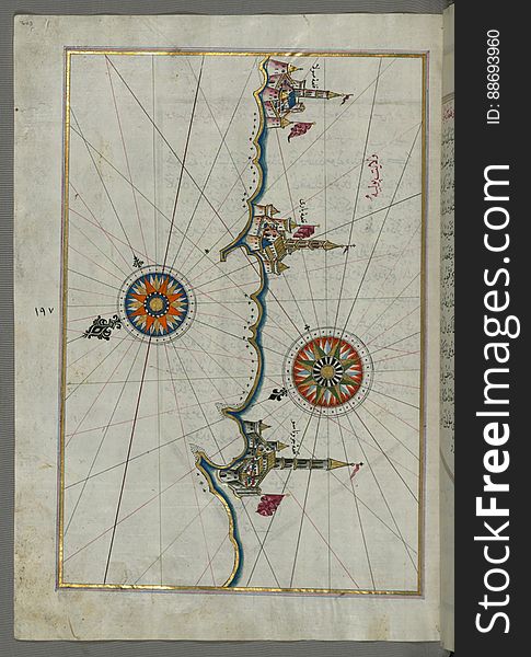
Illuminated Manuscript, The western coast of Greece from the island of Levcas (Lefkada, Leucas, Santa Maura) going north
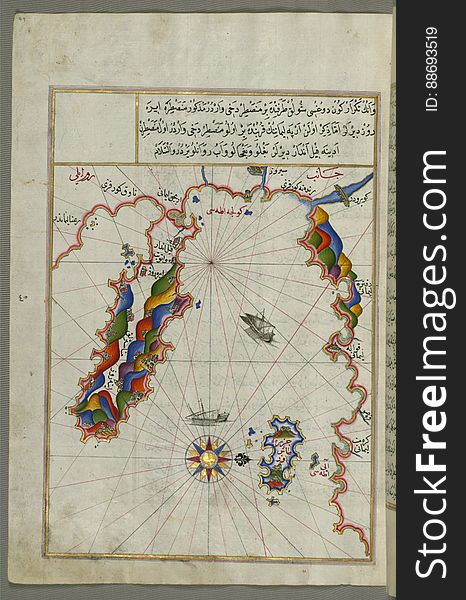
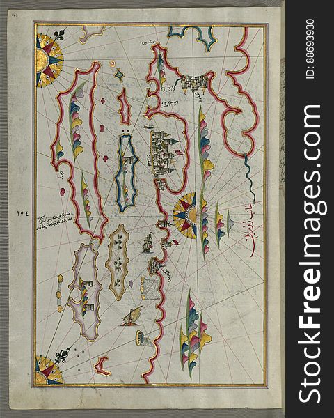
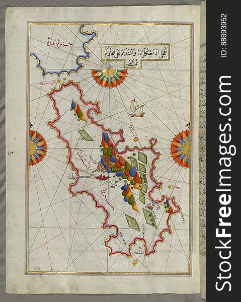
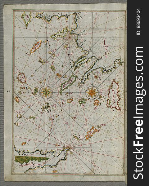
Illuminated Manuscript map of the islands of the Aegean Sea including Chios (Sakiz), Cos (Stancho, İstanköy)
Illuminated Manuscript Anthology of Persian poetry, Walters Art Museum Ms. W.653, fol. 8b
Illuminated Manuscript, Map of the coastline from Marano (MÅ«rÄn) to Caorle (QÄvarlÄ«), Province of Venice f
Illuminated Manuscript The Methana (Mutūn) fortress in the Saronikos (Aiyina) Bay, from Book on Navigation, W
Illuminated Manuscript Map of the coast of Andalusia with the city of Grenada (GharnÄtah), from Book on Navigation, Wal
Illuminated Manuscript, Map of the fortress of Trieste (Rishtī) (Italy) from Book on Navigation, Walters Art
Illuminated Manuscript, Eastern part of the Peloponnese (Morea, Mora) peninsula from Book on Navigation, Walters Art Mu
Illuminated Manuscript, Map of the coastline from Piran (PirÄnÅ«) as far as Izola (Īzele) (Slovenia
Illuminated Manuscript Mykonos island in the Aegean Sea, from Book on Navigation, Walters Art Museum Ms. W.658, fol.116a
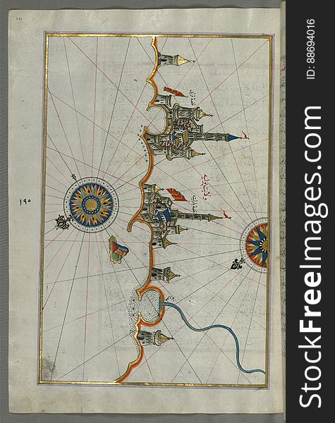
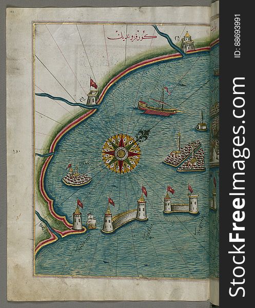
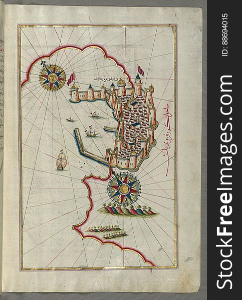
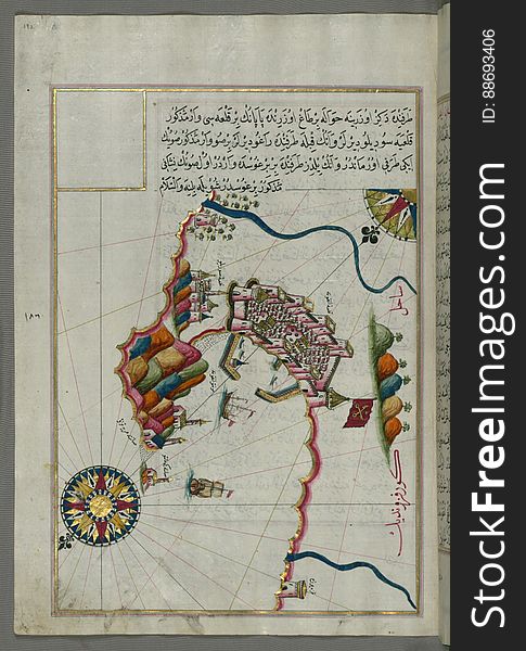
Illuminated manuscript Map of the Fortress of Ancona, from Book on navigation, Walters Art Museum ms. W.658, fol. 192a
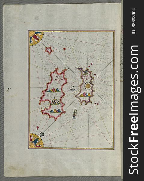
Illuminated Manuscript The Island of Amorgos (Yamurgi, Yamorki) in the southeastern Aegean Sea, from Book on Navigation
Next page
2
/ 156
Home
Search for Manuscript free images