Browse categories
Log in
Sign up
Photogrammetry Free Stock Images
Safe search
Include:
RF-LL
Public Domain
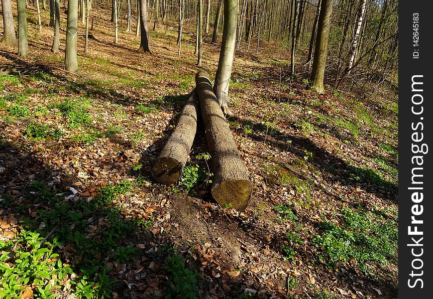
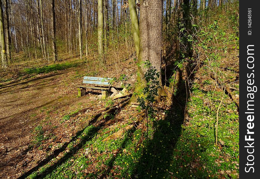
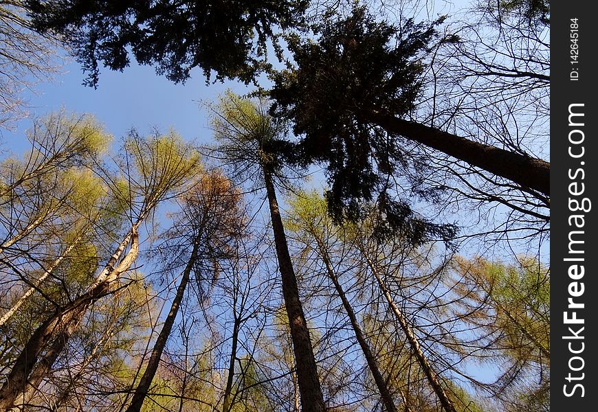
Viehleite Hill Pirna
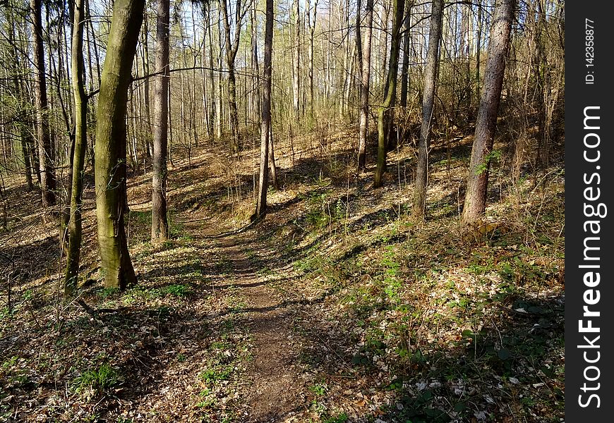
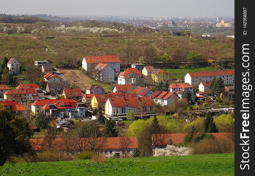
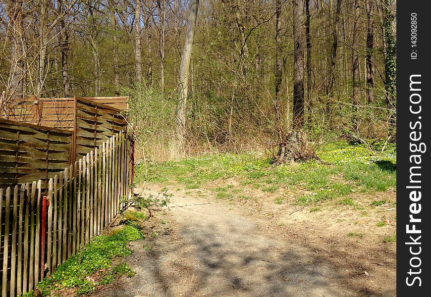
Viehleite Hill Pirna
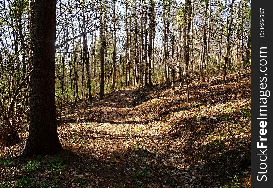
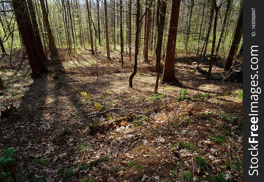
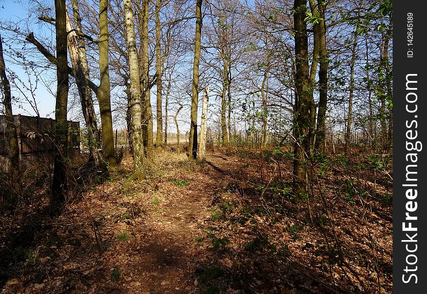
Viehleite Hill Pirna
Viehleite Hill Pirna
Viehleite Hill Pirna
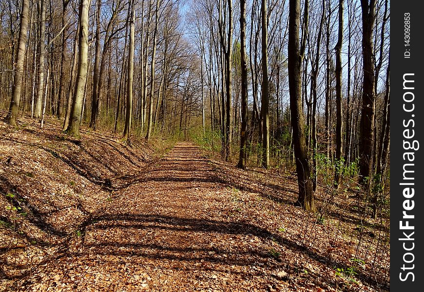
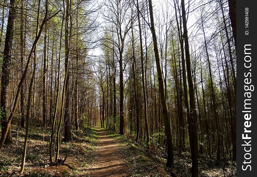
Kohlberg Pirna - Centuries old path
Viehleite Hill Pirna
Viehleite Hill Pirna
Viehleite Hill Pirna
Viehleite Pirna
Viehleite Hill Pirna
Home
Search for Photogrammetry free images