Browse categories
Log in
Sign up
Capes Free Stock Images
Related searches:
heroes
cape
Safe search
Include:
RF-LL
Public Domain
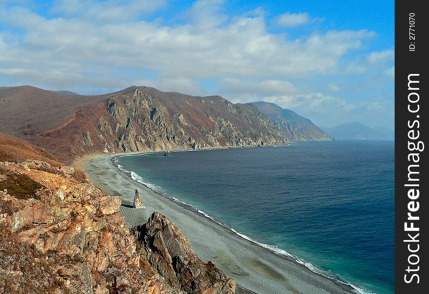
Autumn Cloudscape on Sea
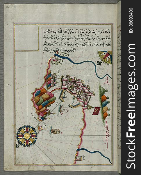
Illuminated manuscript Map of the Fortress of Ancona, from Book on navigation, Walters Art Museum ms. W.658, fol. 192a
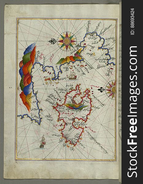
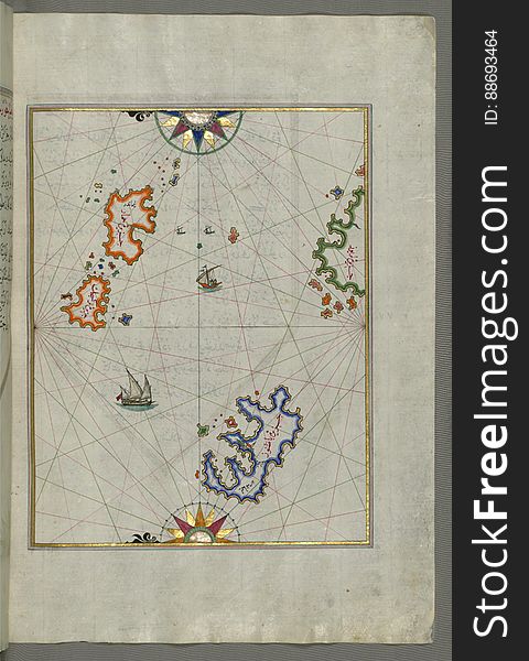
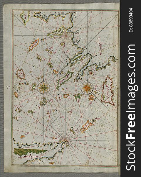
Illuminated Manuscript Map of the islands of Skyros (İskire) and Euboea (Evvoia, Aghrībūz, Eğriboz), from
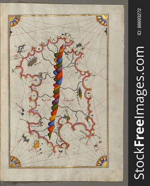
Illuminated Manuscript Map of the island of Lemnos, from Book on Navigation, Walters Art Museum Ms. W.658, fol.47a
Photo of Two Woman Wearing Rainbow Capes
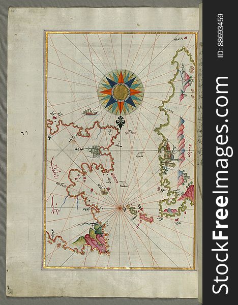
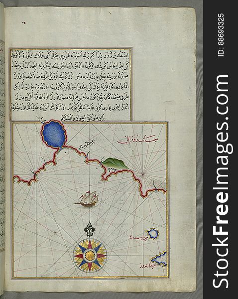
The Island of Samos, from Book on Navigation, Walters Art Museum Ms. W.658, fol.79b
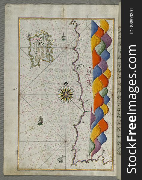
Chios (Sakiz, SÄqiz) Island facing Kysos (ÇeÅŸme) fortress on the Anatolian side, from Book on Navigation, W
Illuminated Manuscript Map of Saronikos (Aiyina) Bay, from Book on Navigation, Walters Art Museum Ms. W.658, fol. 133a
Illuminated Manuscript Map of The Islands of Semendrek (Samothraki) and Imroz (Imbros) in the Aegean Sea, from
Illuminated Manuscript Map of the coast of Andalusia with the city of Grenada (GharnÄtah), from Book on Navigation, Wal
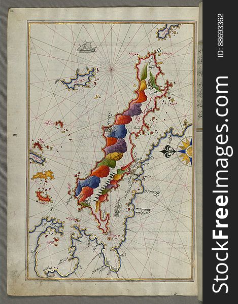
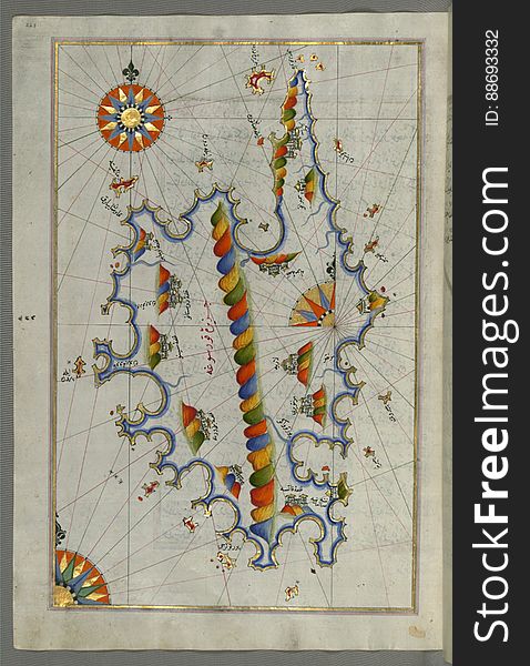
The Island of Midilli (Midillü, Mitylene, Lesvos) in the northeastern Aegean Sea, from Book on Navigation, Walters Art
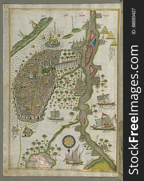
Illuminated Manuscript Map of Cairo, from Book on Navigation, Walters Ms. W.658, fol. 305b
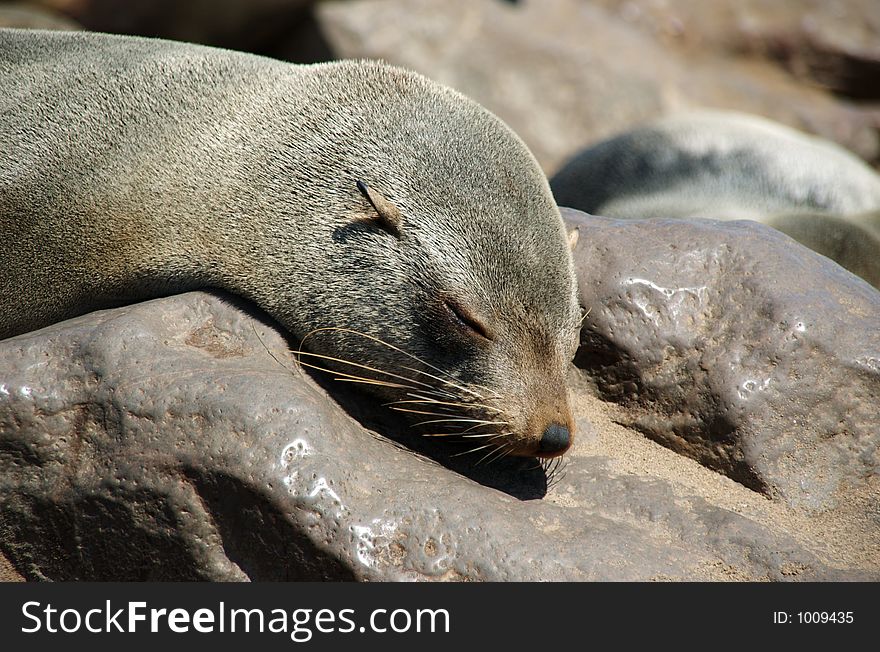
Sleeping seal
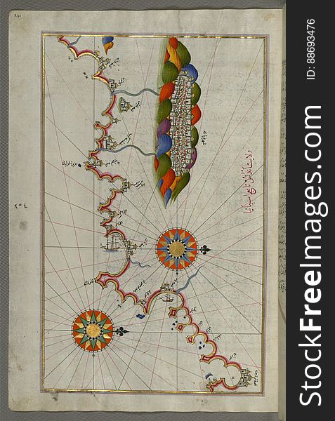
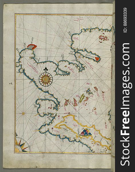
The coastline of the western Aegean Sea as far south as the Island of Euboea (Evvoia, Aghrībūz, Eğriboz), from Book o
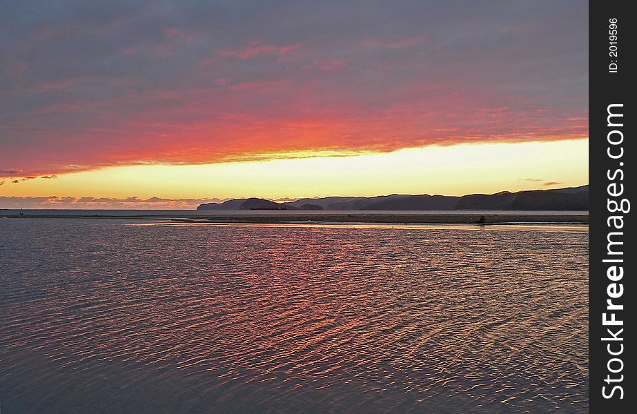
Sunset on Sea
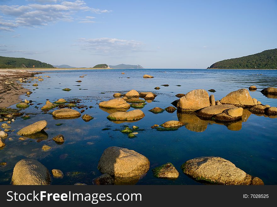
Stones on Sea 5
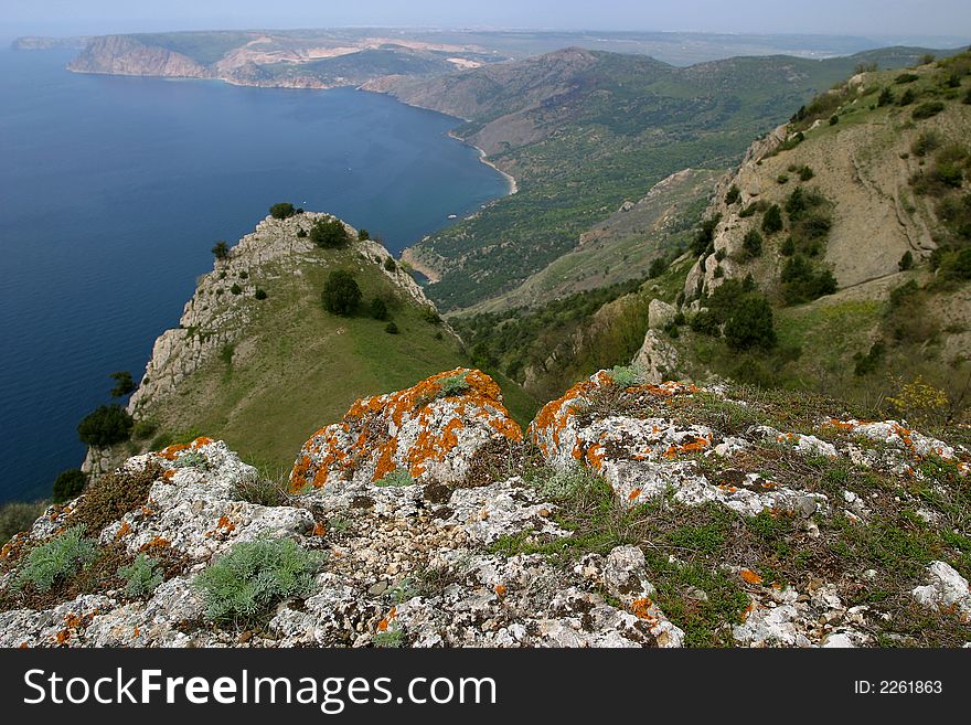
Perspective
Detailed map of Chios (Sakiz, á¹¢Äqiz) Island with its fortress and other topographical features, from Book on Navigati
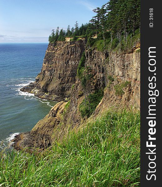
Oregon Coast - Cape Meares
Illuminated Manuscript, Map of Western hemisphere within a windrose, from Book on Navigation, Walters Art Museum Ms. W.658, fol.24
Illuminated Manuscript, Map of Western hemisphere within a windrose, from Book on Navigation, Walters Art Museum Ms. W.658, fol.24
Seal at sleep
Rhodes (Rodos, Rudūs) Island from Book on Navigation, Walters Art Museum Ms. W.658, fol. 103a
Beautiful landscape scene in Manali
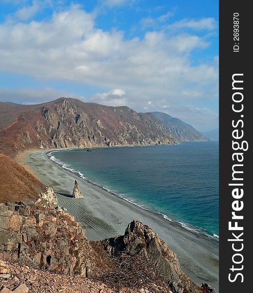
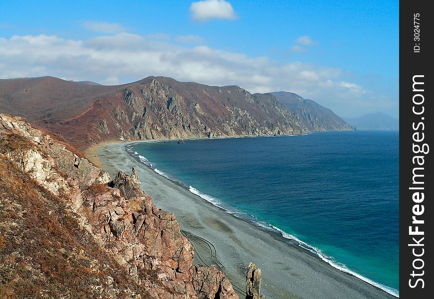
Autumn on Japanese Sea
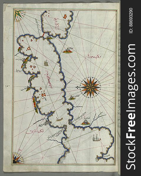
Illuminated Manuscript Map of the Islands of the Adriatic Coast from Book on Navigation, Walters Art Museum Ms. W.658, fol. 208a
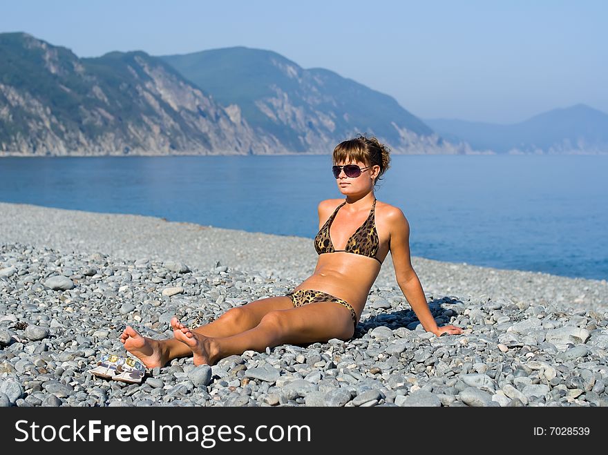
Girl at Seabeach 1
Cloudscape on Sea
Syme (Sömbeki) island north-west of Rhodes (Rodos) island from Book on Navigation, Walters Art Museum Ms. W.6
Illuminated Manuscript Map of part of the European coastline with the islands of Semendrek (Samothraki) and Imroz (
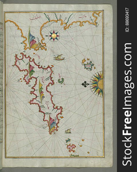
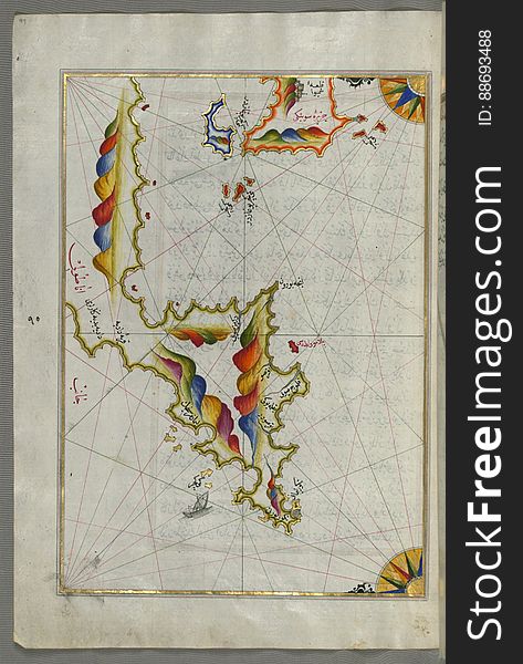
The Island of Kalimnos (Kalimaz) south of Leros in the eastern Aegean Sea from Book on Navigation, Walters Art Museum Ms
Landscape on Sea 4
Illuminated manuscript Map of Corsica, from Book on Navigation, Walters Art Museum Ms. 658, fol. 229a
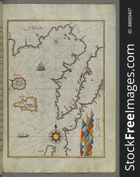
Illuminated Manuscript Map of The island of Bozjah (Tenedos) off the coast of Anatolia, from Book on Navigation, Walters
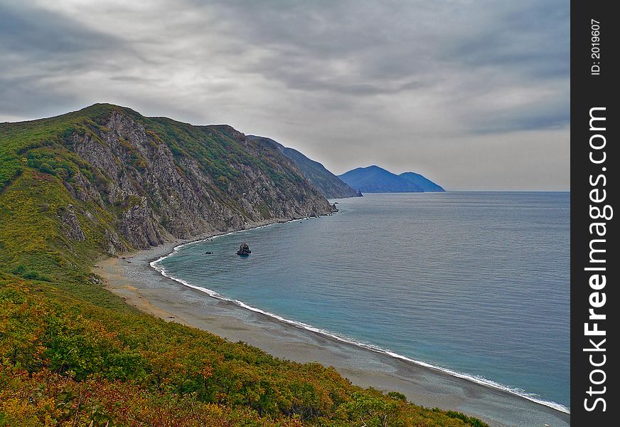
Autumn Landscape on Sea
Illuminated Manuscript Map of Sardina from Book of Navigation, Walters Art Museum, Ms. W.658, fol. 226b
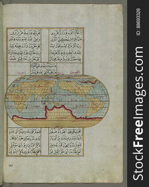
Illuminated Manuscript, Oval Map of the World, from Book on Navigation, Walters Art Museum Ms. W.658, fol.23b
Super Veggies
Illuminated Manuscript map of the northeastern tip of Rhodes (Rodos, Rūdūs) Island facing the Anatolian coast with the
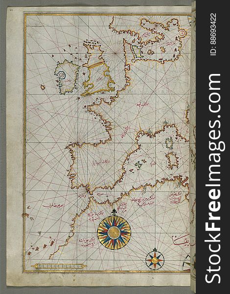
Map of western Europe and North Africa, from Book on Navigation, Walters Art Museum Ms. W.658, fol.64a
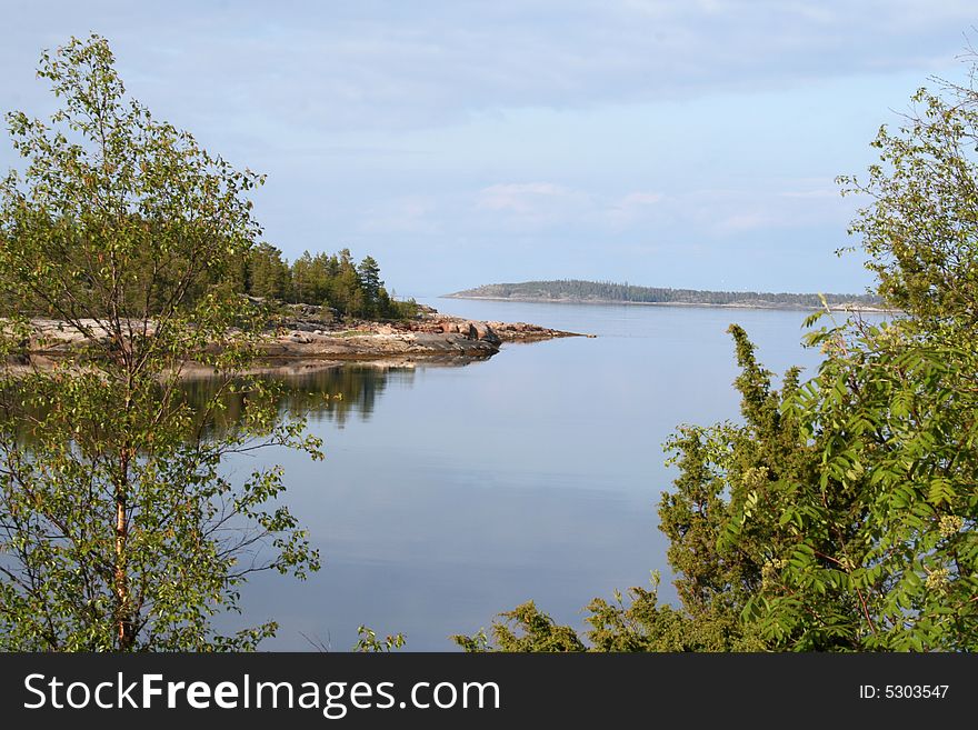
Sea and Taiga 4
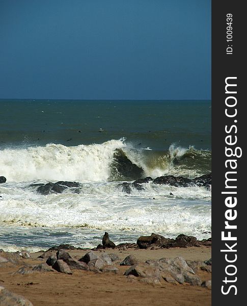
Seal under big wave
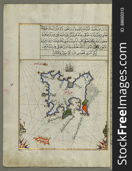
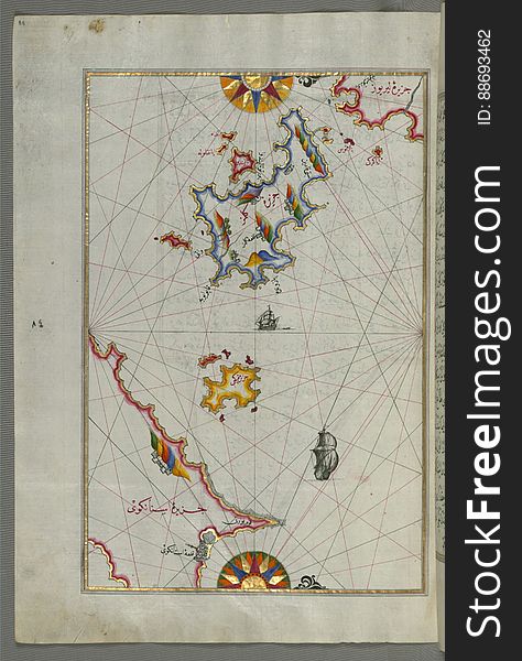
Several islands of the eastern Aegean Sea including: Leros (LÄ«rÅ«s) and Patmos (BÄá¹nÅ«z) from Book on Navi
Capes and trees
Sea distances
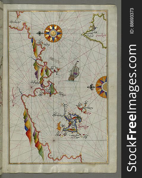
Illuminated Manuscript map of the islands of the Aegean Sea including Chios (Sakiz), Cos (Stancho, İstanköy)
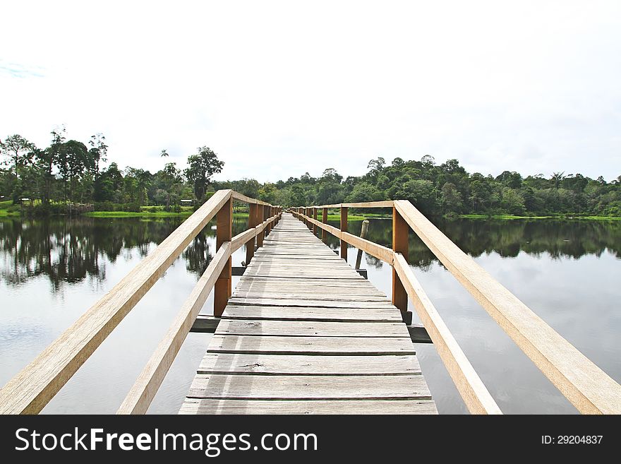
Lonely Jetty across the field of water
Sea and Beach and Clouds
Next page
1
/ 6
Home
Search for Capes free images