You can use this free image under the Creative Commons Zero (CC0) public domain license. Support our free section by adding a credit line next to the photo in your design. A suggestion is provided under the title.
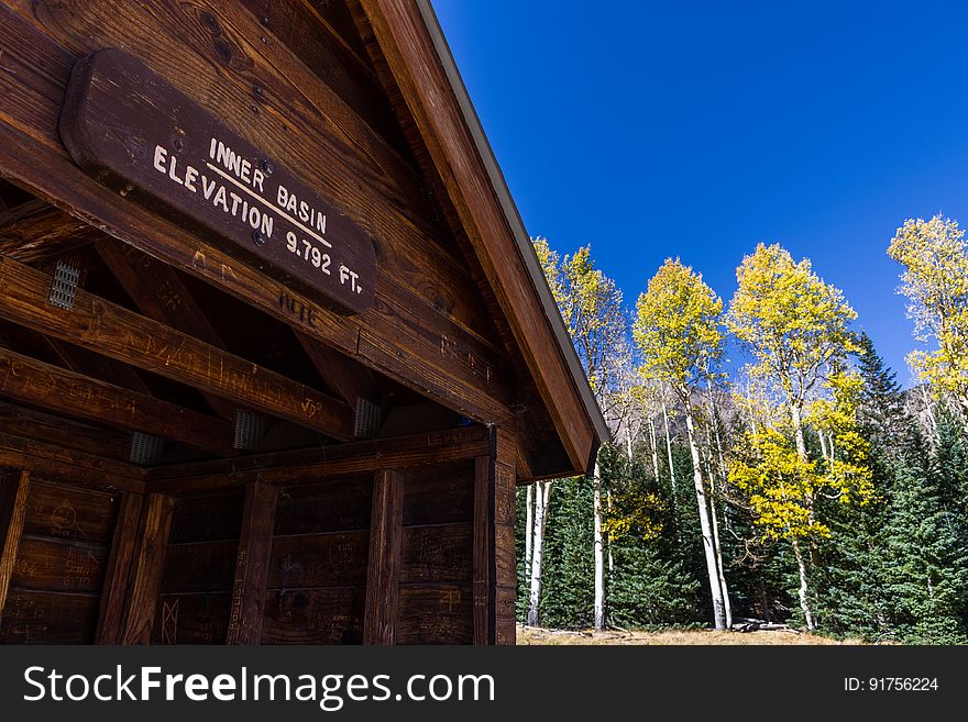
Inner Basin Trail No. 29
Fall color on Inner Basin Trail, October 5, 2016. Most trees are peaking or approaching peak color all along the Inner Basin Trail. Trees are approaching or at peak on the lower on Inner Basin Trail and in Lockett Meadow. A majority of the trees are at peak or past peak (and dropping leaves) on the upper part of the trail above Jack Smith Spring and in the Inner Basin. The Inner Basin Trail ascends from Lockett Meadow into the caldera of the San Francisco Peaks, an extinct volcano and home of the tallest peaks in Arizona. The first 1.7 miles of the trail winds through the extensive aspen forest flanking the upper reaches of the Peaks, joining the Waterline Trail briefly before following a jeep road into the caldera. The trail starts at an elevation of 8665 feet, gaining approximately 1200 feet over 2 miles on its way into the Inner Basin. The trail continues another 2 miles, gaining an additional 600 feet or so to join up with the Weatherford Trail. Photo by Deborah Lee Soltesz, October 5, 2016. Source: U.S. Forest Service, Coconino National Forest. See Lockett Meadow Campground and Inner Basin No. 29 for information about this area of the Peaks on the Coconino National Forest website.
© publicdomainstockphotos | Stock Free Images