You can use this free image under the Creative Commons Zero (CC0) public domain license. Support our free section by adding a credit line next to the photo in your design. A suggestion is provided under the title.
Lost Lake
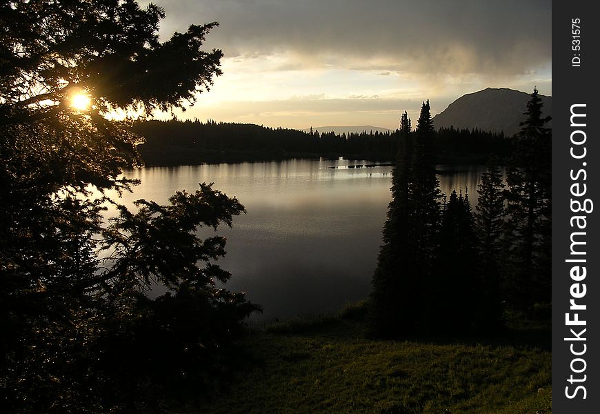
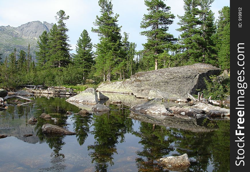
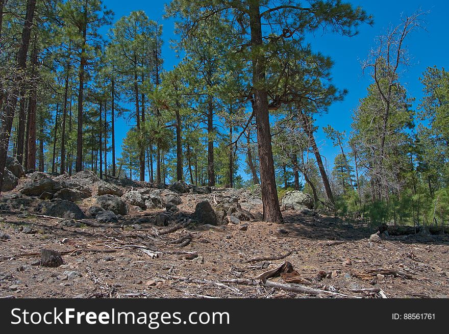
Road to Lost Lake Tank. 2009-05-07: On the fifth day of our camping trip on the Mogollon Rim we were still looking to beat the heat by staying above the rim. I’d noticed a route marked as a trail on my GPS (the base map on my Garmin Oregon 400T) leading to a spot marked Lost Lake. We headed for trail, turning off of the main road onto a jeep track. The route quickly got rocky, and we assumed it was petering out, so we parked and started hiking. Within a couple hundred feet, the route turned back into a smooth, dirt, two-track road… basically, quite driveable. We hiked it anyway. There was a tree blocking the road about halfway to Lost Lake, but aside from that the route is a well maintained route, with a couple side-roads heading off of it. The road gently ascends to the top of a hill, where Lost Lake is actually a pair of tanks. The upper tank is quite large, and both had water in them. There were a few wildflowers, and butterflies and western tanagers were flitting about. It’s a very pretty area, and quite likely an excellent place for bird watching. Lost Lake is definitely worth a visit, whether hiking or driving. The tanks are surrounded by forest, and we took advantage of the shade to have lunch, enjoy the beautiful day, and catch a quick nap. Hiking report View all photos from this hike
© publicdomainstockphotos | Stock Free Images

