You can use this free image under the Creative Commons Zero (CC0) public domain license. Support our free section by adding a credit line next to the photo in your design. A suggestion is provided under the title.
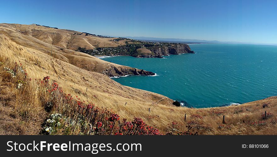
Banks Peninsular.NZ
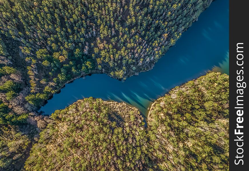
Banks Peninsula is situated in about the middle of the east coast of the South Island on the margin of the Canterbury Plains. It is approximately 450 sq. miles in area and its highest point is Herbert Peak, 3,014 ft. It comprises two extinct volcanoes which were active less than half a million years ago. Their craters have subsequently been enlarged to many times their original size by stream erosion; they were then invaded by the sea during the postglacial world-wide rise in sea level beginning about 15,000 years ago. They now form the harbours of Lyttelton and Akaroa. Originally Banks Peninsula was an island, but it became tied to the Canterbury Plains at some late stage in geological history when the growing alluvial plain reached its base.
© publicdomainstockphotos | Stock Free Images
Similar Free Images