You can use this free image under the Creative Commons Zero (CC0) public domain license. Support our free section by adding a credit line next to the photo in your design. A suggestion is provided under the title.
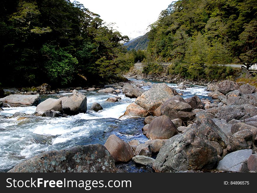
The Hollyford River. Fiordland NZ
The Hollyford River is located in the southwest of the South Island of New Zealand. It runs for 128 kilometres (80 mi) through Fiordland, its source being 10 kilometres (6.2 mi) to the north of the northern tip of Lake Te Anau and close to the Homer Tunnel. The river flows north through the glacier-formed Hollyford Valley, passing through Lake McKerrow before reaching Martins Bay on the coast of the Tasman Sea 25 kilometres north of Milford Sound. The Hollyford Track follows the river's course. Part of the river's course is traditionally regarded as the boundary between the Southland and Otago regions.
© publicdomainstockphotos | Stock Free Images