You can use this free image under the Creative Commons Zero (CC0) public domain license. Support our free section by adding a credit line next to the photo in your design. A suggestion is provided under the title.
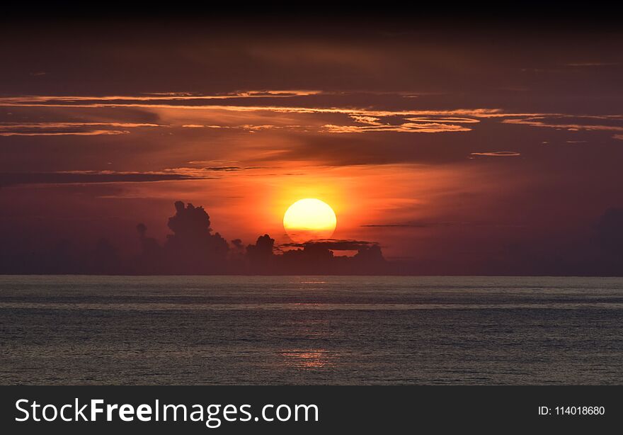
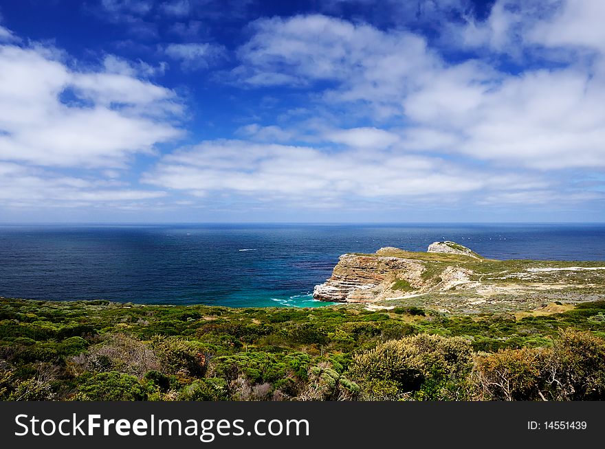
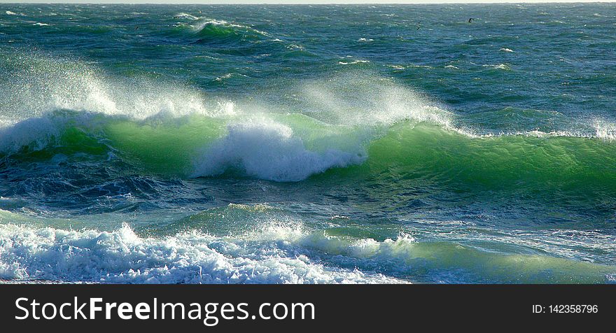
Atlantic from the mouth of the Douro River
The River Douro runs through Portugal into the Atlantic Ocean and this is it's arrival point. The river Douro is the third-longest river in the Iberian Peninsula after the Tagus and Ebro. Its total length is 897 kilometres (557 mi), of which only sections of the Portuguese extension below the fall line are navigable, by light rivercraft. In its Spanish section, the Douro crosses the great Castilian meseta and meanders through five provinces of the autonomous community of Castile and León: Soria, Burgos, Valladolid, Zamora, and Salamanca, passing through the towns of Soria, Almazán, Aranda de Duero, Tordesillas, and Zamora. In this region, there are few tributaries of the Douro. The most important are the Pisuerga, passing through Valladolid, and the Esla, which passes through Zamora. This region is generally semi-arid plains, with wheat and in some places, especially near Aranda de Duero, with vineyards, in the Ribera del Duero wine region. Sheep rearing is also still important. For 112 kilometres (70 mi), the river forms part of the national border line between Spain and Portugal, in a region of narrow canyons. It formed a historical barrier to invasions, creating a cultural/linguistic divide. In these isolated areas, in which the Aldeadávila Dam impounds the river, there are protected areas: the International Douro Natural Park (on the Portuguese side) and the Arribes del Duero Natural Park (on the Zamoran margin). The Douro fully enters Portuguese territory just after the confluence with the Ãgueda River; once the Douro enters Portugal, major population centres are less frequent along the river. Except for Porto and Vila Nova de Gaia at the river mouth, the only population centres of any note are Foz do Tua, Pinhão and Peso da Régua. Tributaries here are small, merging into the Douro along the canyons; the most important are Côa, Tua, Sabor, Corgo, Tavora, Paiva, Tâmega, and Sousa. None of these small, fast-flowing rivers is navigable. Porto Portugal Spring 2015
© publicdomainstockphotos | Stock Free Images

